Pete's Walks - Pitstone Hill, Dagnall, Ashridge (page 1 of 5)
If you are considering walking this route yourself, please see my disclaimer. You may also like to see these notes about the maps and GPX files.
I did this circular walk of about 12.8 miles on Sunday, 12th November 2009. It was a repeat of a walk I did in September 2009).
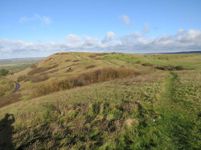
I parked at the Pitstone Hill car park (grid reference SP 954148) and started walking about 10.15am, crossing the lane and following the Ridgeway national trail towards Steps Hill. As I got nearer to Steps Hill, I could see a large group of people going up and down a very steep slope on the far side of Incombe Hole (to my left) - I assumed they were in training for walking somewhere a little more mountainous than the Chilterns. The path I was following gradually steepened, curving left around the head of Incombe Hole to reach the top of Steps Hill.
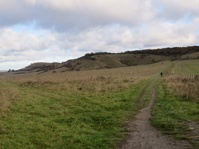
The start of the walk, following the Ridgeway national trail towards Steps Hill
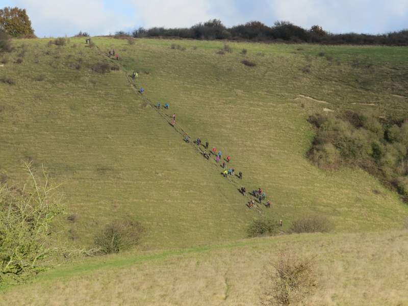
These people were going up and down this path on the side of Incombe Hole (which must be one of the steepest in the Chilterns), I can only imagine they were training for something. "The Grand Old Duke of York ..."
The Ridgeway rising up Steps Hill
The Ridgeway rising up Steps Hill
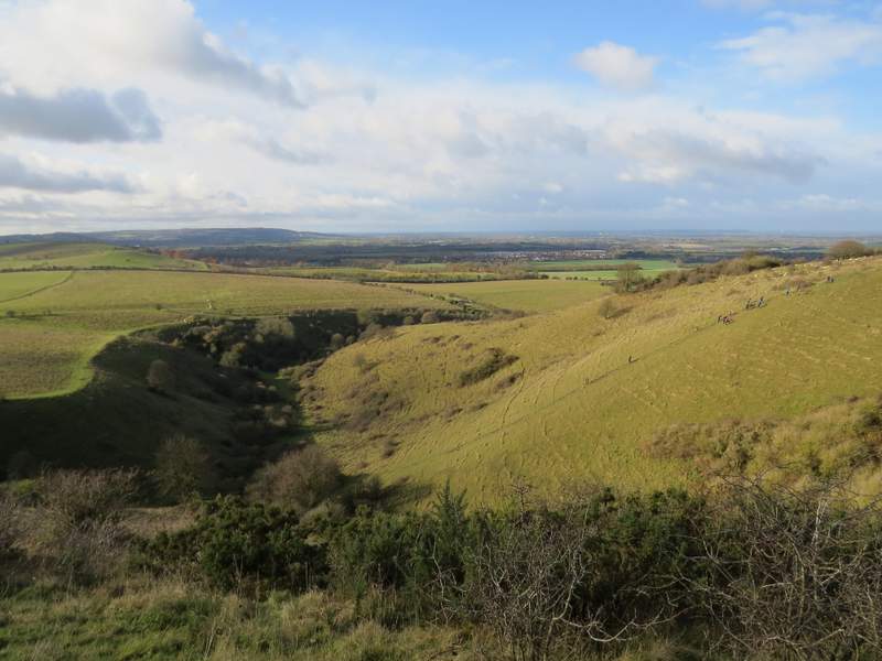
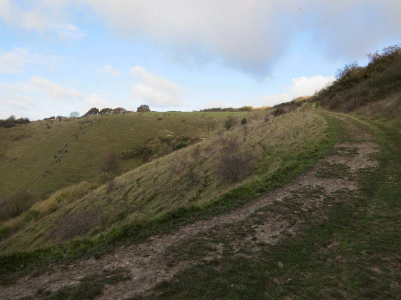
Incombe Hill from the top of Steps Hill (there are still a few people on the steep path, though most of them had now assembled at the top)
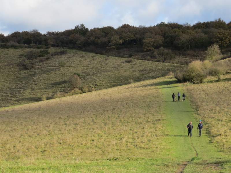
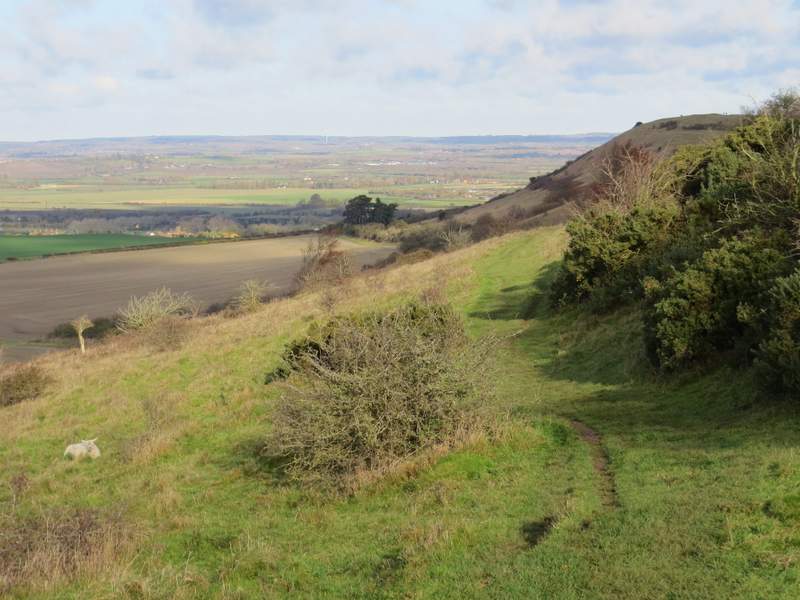
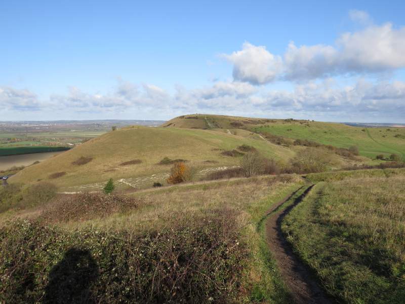
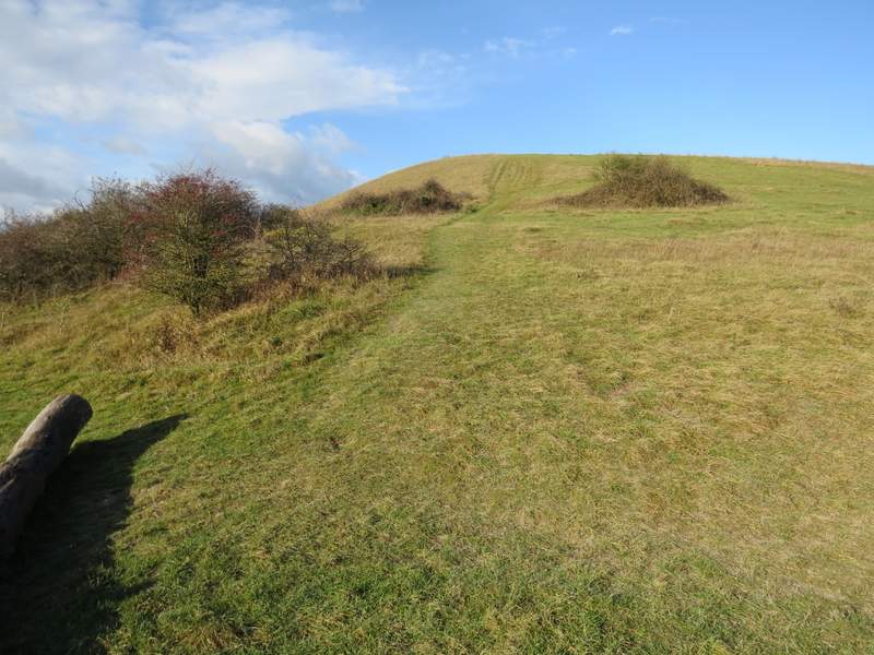
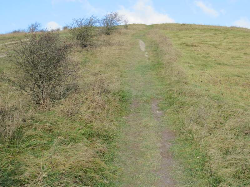
I passed a gate on my right, and soon forked left from the Ridgeway (which went straight on into some short trees and bushes), going across an area of grass and continuing to contour round the scrub-covered hillside. On going through a gate I rejoined the Ridgeway, which continued on across the hillside to eventually meet a road at a very sharp bend. Across this, I turned left and followed a path up a 'hillock', one of two just behind Ivinghoe Beacon. At its top (where there is the remains of a tumulus or burial mound) I turned right and followed a path downhill, joining the main route to the Beacon just before the second hillock (which is quite insignificant close-up, although very obvious in long-distance views of the Beacon). I continued to follow the path up the steep slope to the top of Ivinghoe Beacon.
The path from Steps Hill to Ivinghoe Beacon
The path from Steps Hill to Ivinghoe Beacon
The path from Steps Hill to Ivinghoe Beacon
The path up the first 'hillock' near Ivinghoe Beacon
Ivinghoe Beacon from the first 'hillock'
The path up Ivinghoe Beacon (the waymarks all point up this new path, to allow the old path to the left to recover)
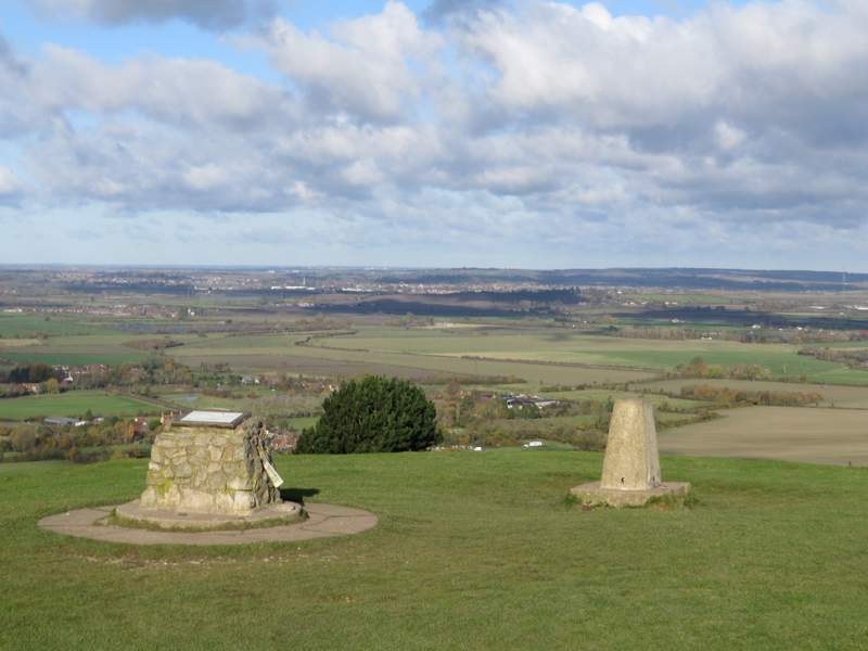
Looking towards Leighton Buzzard and a distant Milton Keynes from Ivinghoe Beacon
I then turned right, and followed a long grassy ridge from Ivinghoe Beacon to Gallows Hill - ahead of me stretched the long line of Dunstable Downs and Whipsnade Downs, with the chalk figure of the White Lion at Whipsnade zoo (it didn't look quite so Lion-like today, see the photo below). The ridge ended at a tumulus or ancient burial mound, from where a bridleway went half-right across a field.
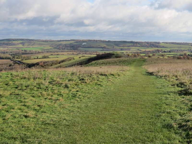
The path from Ivinghoe Beacon to Gallows Hill
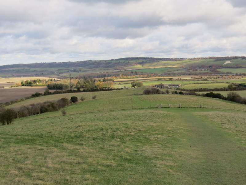
The path from Ivinghoe Beacon to Gallows Hill
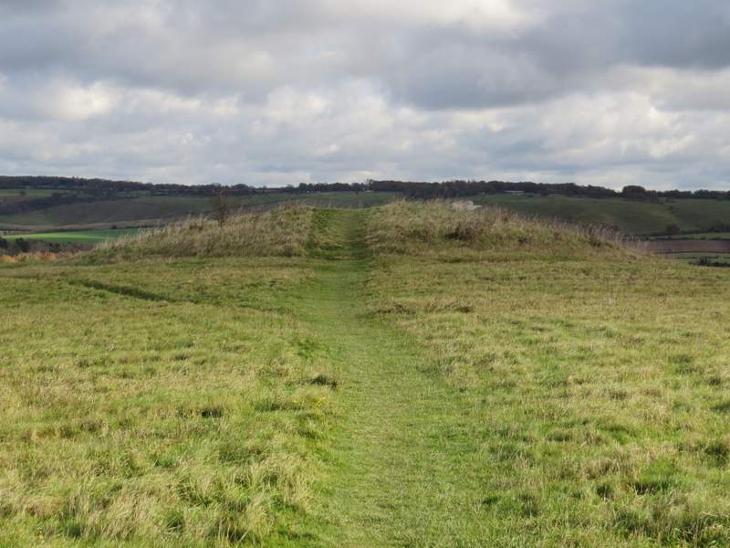
The tumulus (ancient burial mound) at the end of the ridge
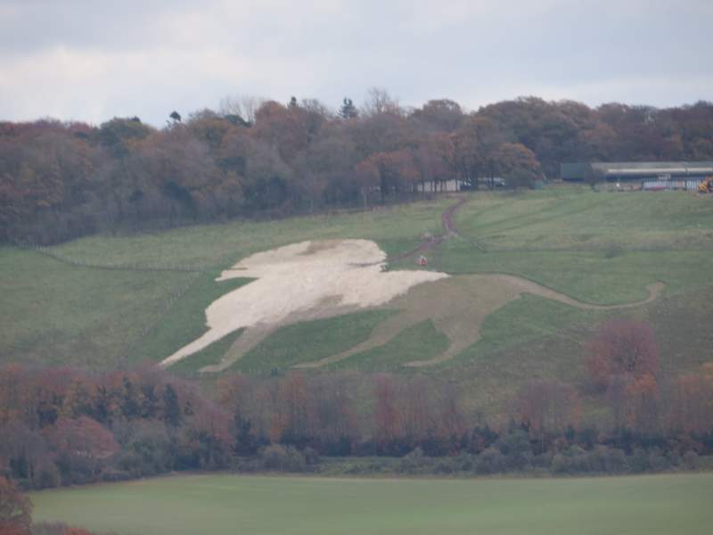
Zoomed in shot of the not-so-White Lion at Whipsnade Zoo
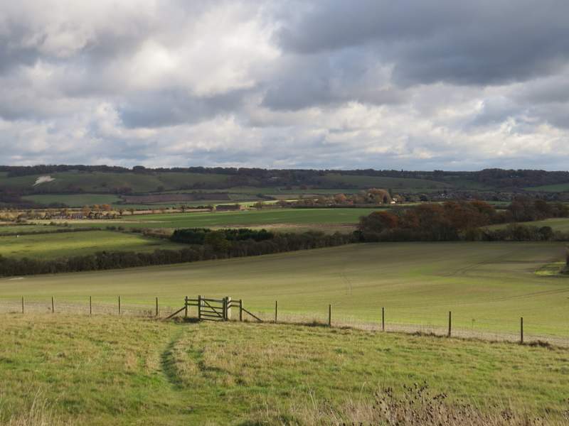
The bridleway continuing from the tumulus