Pete's Walks - Hambleden, Medmenham, Colstrope (page 3 of 6)
If you are considering walking this route yourself, please see my disclaimer. You may also like to see these notes about the maps and GPX files.
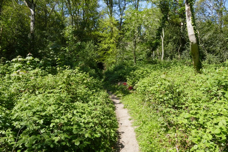
I went straight on over the lane junction (I'd have turned left if I'd come uphill to the junction) - this lane was part of a road 'triangle' to my right and when I reached the end of this side of the triangle I crossed the road ahead of me and took a path into Pullingshill Wood. After a short distance I came to a narrow path fork (actually a better description is that it is where two curving paths just touch each other briefly), where I took the right fork (the OS map shows this is roughly where I moved from Pullingshill Wood to Davenport Wood). After about a quarter of a mile, I came to a path T-junction in the wood, where I turned right onto a broader path.

The lane (part of a triangle of lanes)

Near the start of the path going northeast through Pullingshill Wood

The same path continuing through through Davenport Wood

The same path continuing through through Davenport Wood

The same path continuing through through Davenport Wood, where I turned right

The path in Davenport wood after I turned right
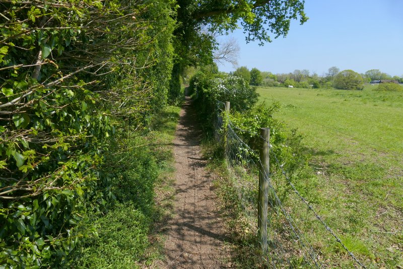
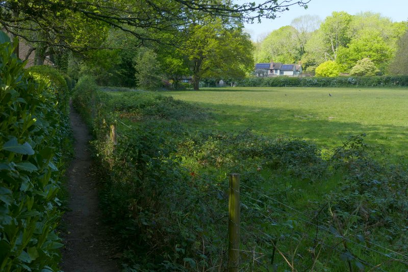
After a few hundred yards I came to a path crossroads where I turned left. The path went a short way gently uphill, then left the wood and continued beside a tall hedge on my left and with a hedge and/or fence on my right. There was view on my right towards a wooded hillside that was on the far side of the Thames. After a few hundred yards the path switched to the other side of the tall hedgerow, and continued beside it until it reached a track on the edge of the village of Bovingdon Green.

The path after I turned left at a path crossroads at the eastern end of Davenport Wood
The path continuing from Davenport Wood towards Bovingdon Green

The path continuing from Davenport Wood towards Bovingdon Green

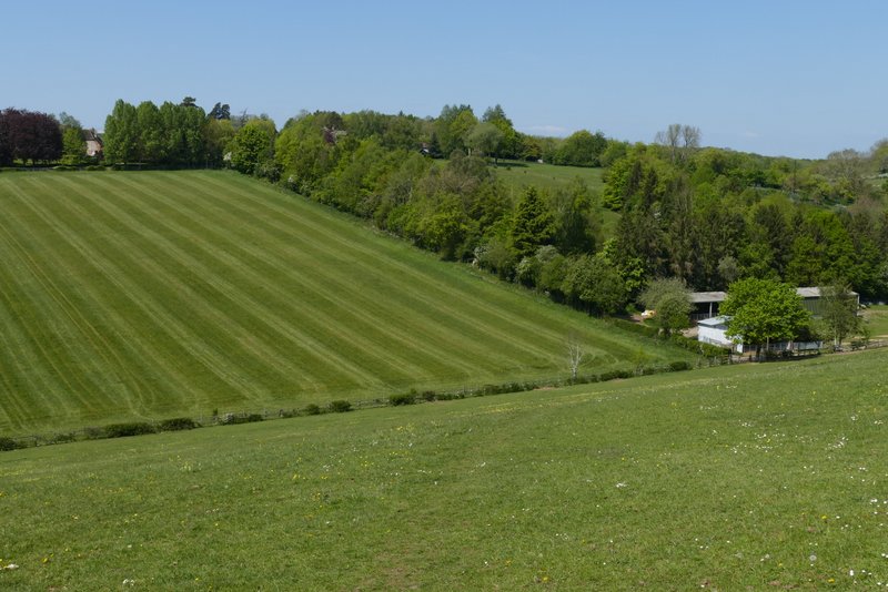
Looking right from the path to Bovingdon Green - the wooded slope is on the far side of the Thames, near Bisham Abbey
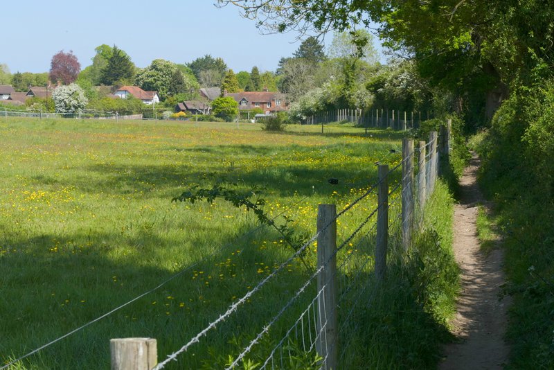
The path continuing from Davenport Wood towards Bovingdon Green
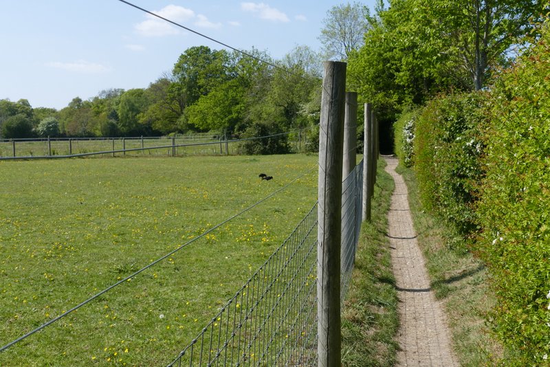
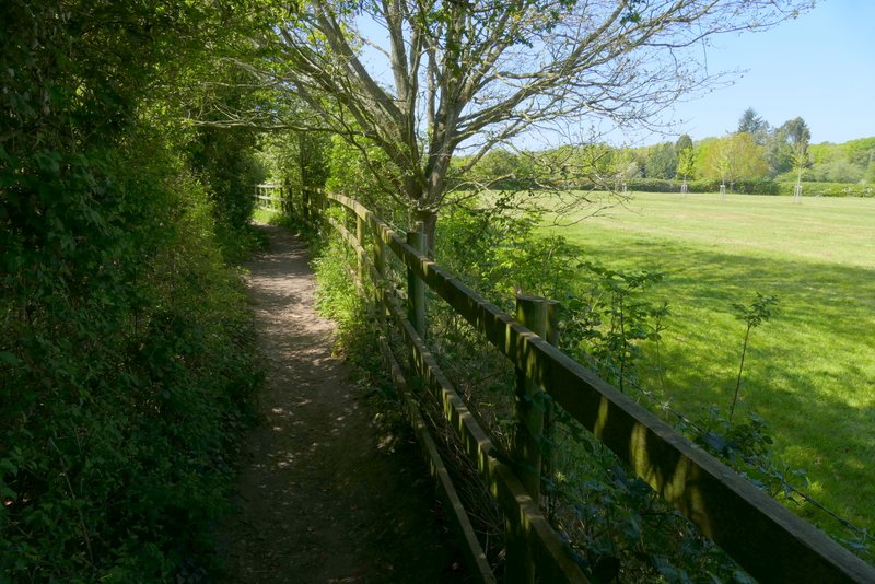
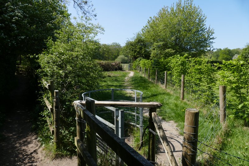
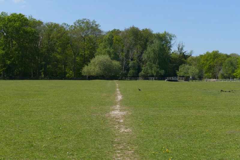
I turned left along the track, which is part of the Chiltern Way. After passing a few properties on my right the track ended, but a footpath continued ahead, running between fences with paddocks either side. When I reached a path junction I forked half-right through a metal kissing-gate, leaving the Chiltern Way. The path crossed a small triangular enclosure to another metal kissing-gate, then continued in the same direction across a very large paddock. The path then ran between fences through a small corner of a wood, then continued beside garden boundaries on my left and the wire fence of a meadow on my right. The path then merged with a drive, following it to where it met a lane.
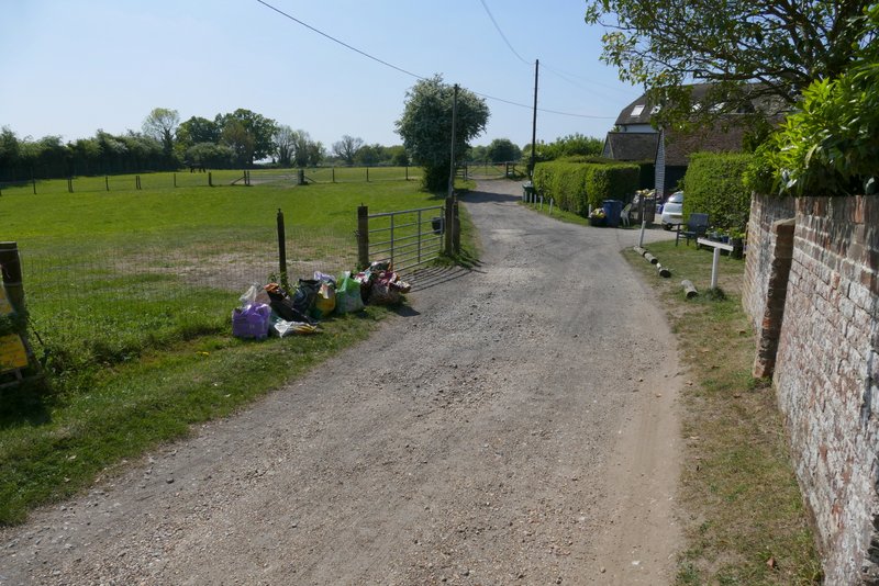
The track out of Bovingdon Green
The path from Bovingdon Green
The path from Bovingdon Green
Where I forked right from the path from Bovingdon Green
The path continuing across a large paddock
Further along the same path
Further along the same path
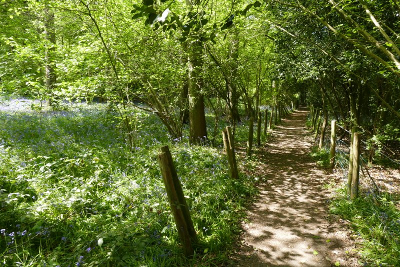
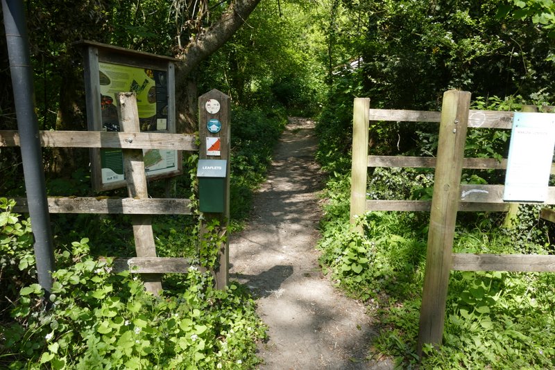
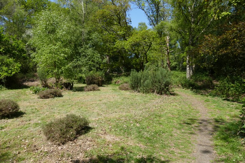
I crossed the lane and took a path through the wooded Marlow Common on the other side. I went straight on at a path crossroads, then kept left at a path fork, and soon came to where a bridleway crossed the path. I went straight on through a gate, moving from Marlow Common into Lord's Wood as I did so. I soon reached the edge of the wood, where the path went left of two wooden poles and then turned half-right and descended steeply downhill through a pasture or meadow.
The start of the path on Marlow Common
The path on Marlow Common
The path on Marlow Common

The path in Lord's Wood after I went straight on at a path crossroads
The path downhill from Lord's Wood