Pete's Walks - Bradenham and Lodge Hill (page 1 of 5)
If you are considering walking this route yourself, please see my disclaimer. You may also like to see these notes about the maps and GPX files.
I did this circular walk of about 9.4 miles on Monday, 27th July 2026. It was a repeat of a walk I did in November 2023.
I parked in the small car park on the green at Bradenham (Grid Reference SU 827970) - the track leading to it had been very badly pot-holed the last time I came here so I was pleased to see that it was in much better condition now. I started walking at about 10.10am, going back down the track until a path forked right and crossed the green to reach the road through the village at a junction with Rectory Lane. I turned left along the road, and at its end went a few yards right along the A4010 main road before crossing it to where a footpath started by a gate. The path went slightly left as it crossed a paddock to another gate. Beyond this, the path went under a railway bridge and then followed the right edge of another field as far as a gate in a hedgerow. Through that gate it followed the left edge of another field for about a hundred yards, then turned left and went through the end of a tree belt. The path then went diagonally across a huge meadow of rough grass, sloping up to Allnutt's Wood on my left. The gradient was fairly gentle, and there were good views up and down the valley to my right. Despite being uphill, I'd been looking forward to this section of the path, and I wasn't disappointed.
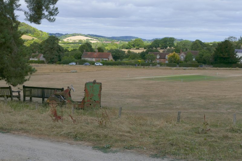
Bradenham
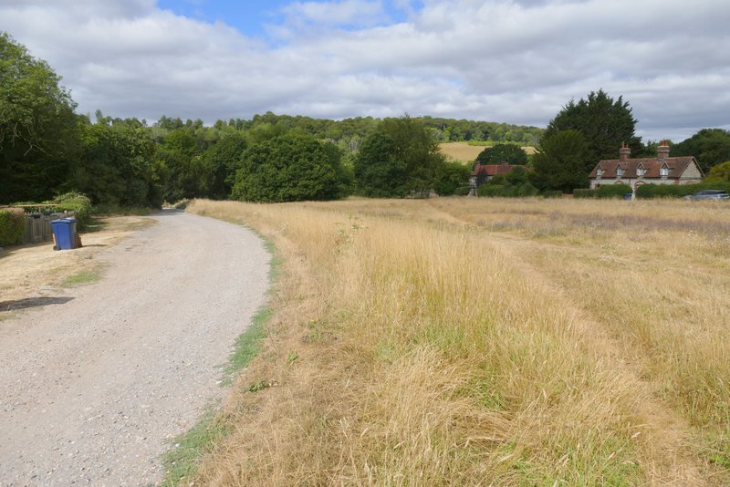
Where I left the track to cross the green to the road
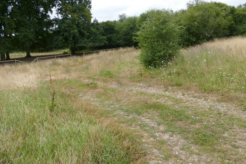
Near the start of the path to Allnutt's Wood
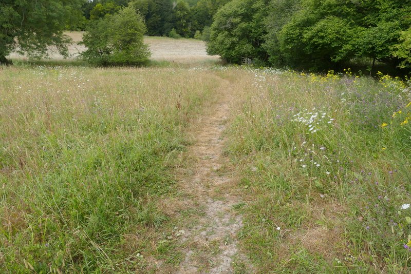
The path to Allnutt's Wood after going under the railway bridge (it goes right at the gate)
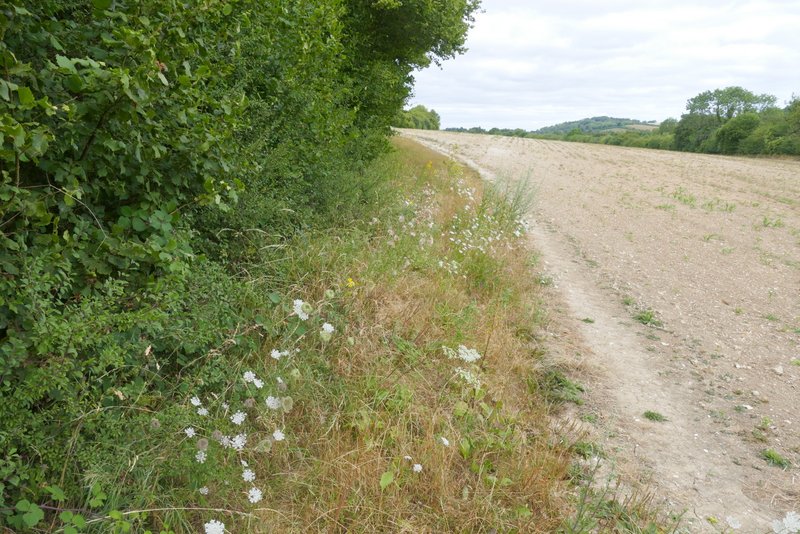
The path to Allnutt's Wood
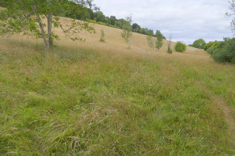
The path to Allnutt's Wood, about to go diagonally across the huge sloping meadow
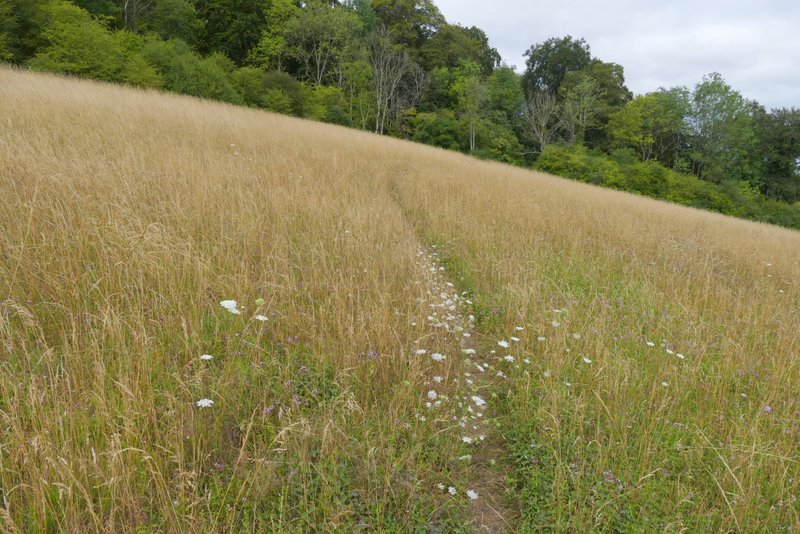
The path to Allnutt's Wood
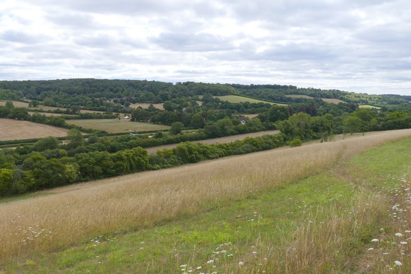
View back towards Bradenham
On reaching Allnutt's Wood the path continued in roughly the same direction, and if anything the gradient became even easier. On the far side of the wood, at the top of the slope, I reached a surfaced drive coming from Nobles Farm (to my left). I turned right along the drive, which almost immediately dropped quite steeply downhill. At the end of the drive I crossed Slough Lane and followed a path up Slough Hill. The path followed the left edge of a field, then near the top of the slope the path went into the wood on my left. The path continued along the top of Slough Hill, just inside the wood with the same field still to my right. After a while the path became rather overgrown for a while, but it was passable (unlike the previous time I did this walk when it was so overgrown with brambles I had to follow the edge of the field again for the last few yards). At the end of the wood, I went over a stile. The path then continued gently downhill along the left edge of a series of four paddocks until it reached Haw Lane, all the while with a view ahead to Lodge Hill.

The path continuing through Allnutt's Wood
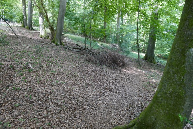
The path continuing through Allnutt's Wood
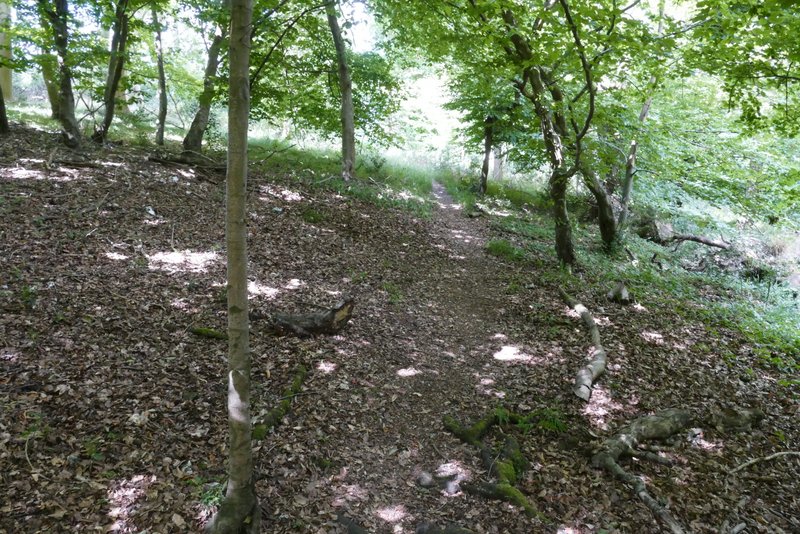
The path continuing through Allnutt's Wood, just before it reaches the drive from Nobles Farm
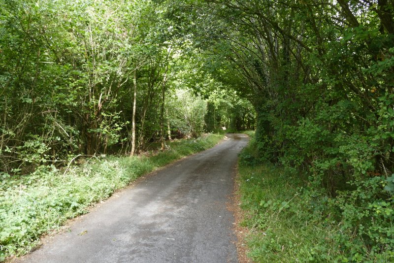
The drive from Nobles Farm
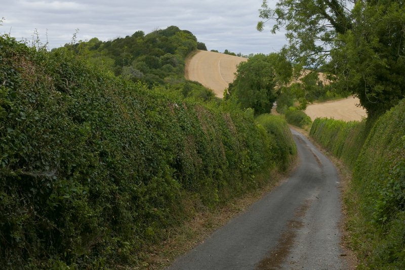
The drive from Nobles Farm, with Slough Hill ahead
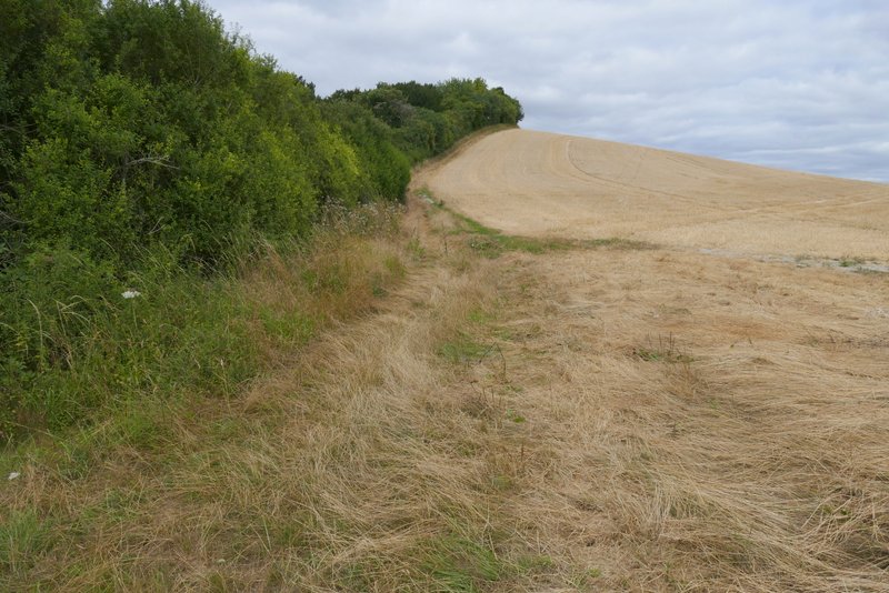
The path up Slough Hill
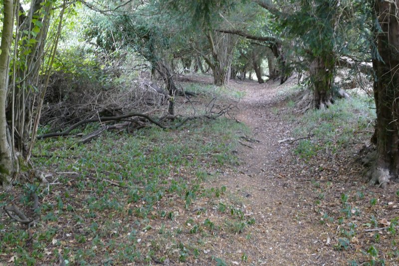
The path on top of Slough Hill
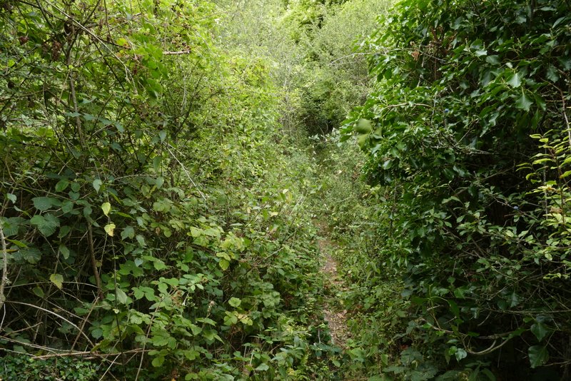
The path on top of Slough Hill
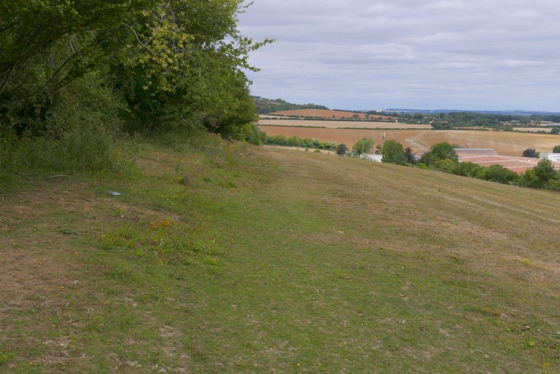
The path descending from Slough Hill to Haw Lane
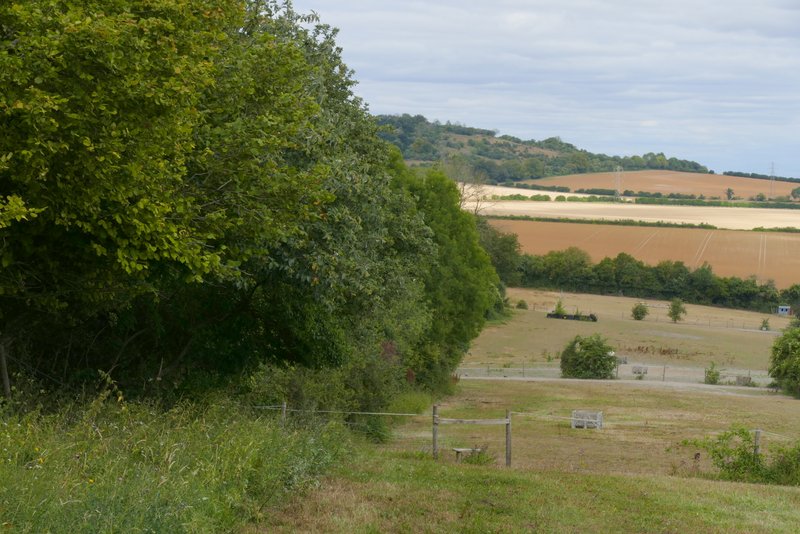
The path descending from Slough Hill to Haw Lane