Pete's Walks - Maidensgrove Common, Watlington Hill, Northend (page 5 of 5)
If you are considering walking this route yourself, please see my disclaimer. You may also like to see these notes about the maps and GPX files.
I crossed Hollandridge Lane and followed a path through a meadow to reach College Wood. Just inside the wood I came to a path junction where I turned left. For a while this path ran close to the edge of the wood on my left, but then it turned right and dropped downhill a short way before turning left and gradually descending through the wood (I saw some Nettle-leaved Bellflower here). It reached a valley bottom just before it left the wood, and then continued beside a fence on my left along the valley bottom for several hundred yards until it reached the road through Pishill.
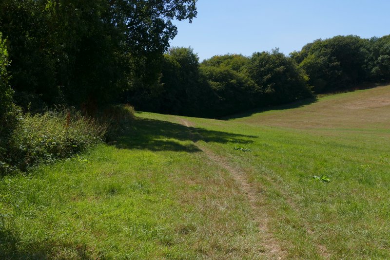
The path from Hollandridge Lane to College Lane
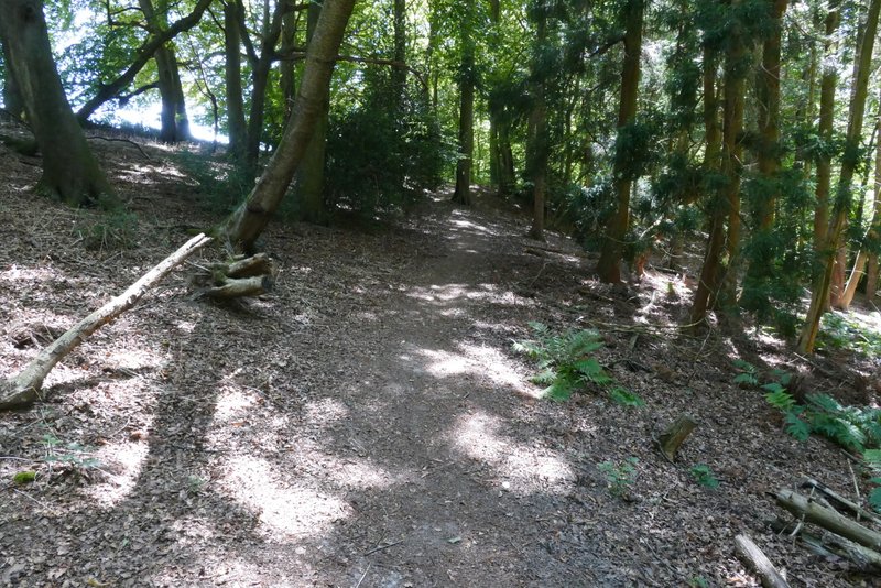
The path through College Wood
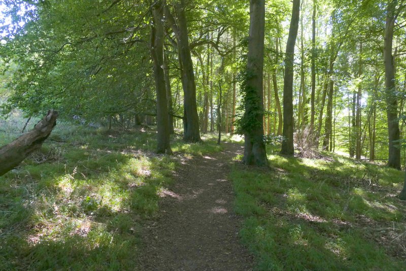
The path through College Wood
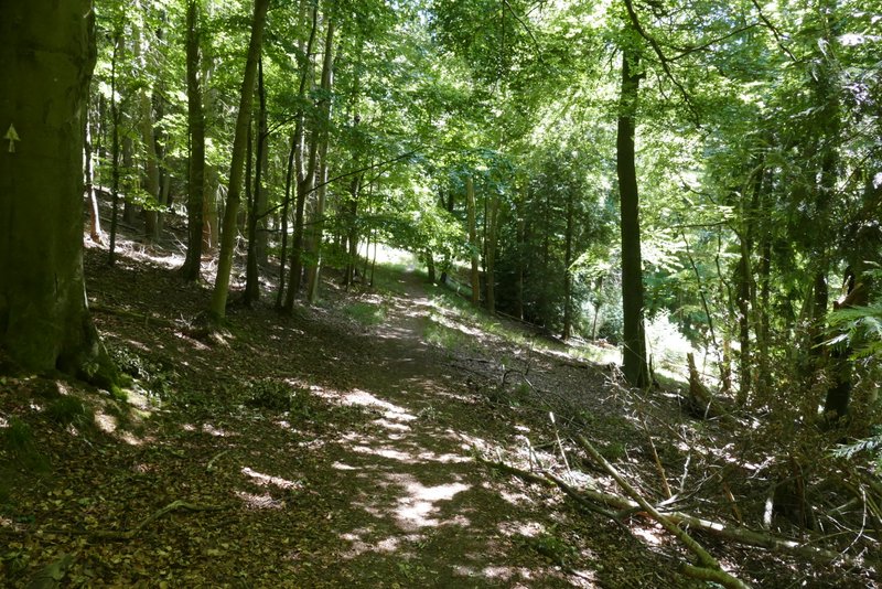
The path through College Wood
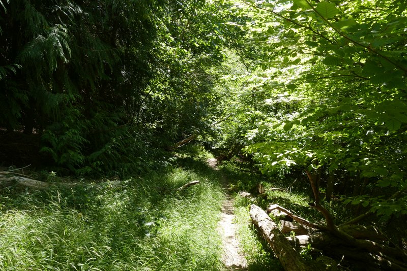
The path through College Wood
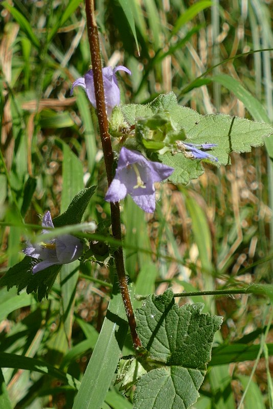
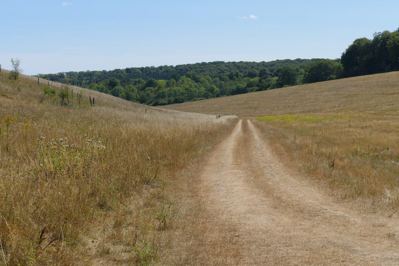
The path continuing from College Wood to Pishill
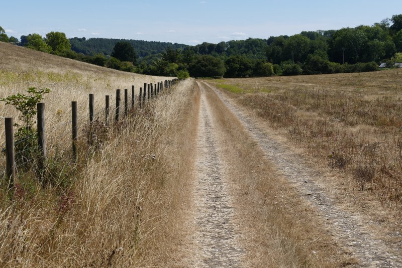
The path continuing from College Wood to Pishill
I turned right along the road, then almost immediately turned left into the lane to Pishill church. There was a short steepish uphill, then it flattened out just after the church (on my right). There was a nice view half-left towards the deer park around Stonor House (though I prefer the opposite view, from the deer park to here). Somewhere here the lane ended and a bridleway followed the drive that continued ahead. Very soon there was a bridleway junction where the drive curved right, where I took the bridleway going straight on. This followed a tall hedgerow on my left, and soon dropped quite steeply into a valley. Soon after starting up the opposite slope the bridleway entered a large wood. The OS map shows Pishillbury Wood to the left and Doyley Wood to the right - there is a fence on the right (for at least some of the way), so I think the bridleway follows the boundary between these two woods. The bridleway went more or less straight up the slope, so it was quite steep, but it didn't go on for too long and was no worse than many similar paths in the Chilterns. After it flattened out, I went straight on where a path came in on the left, then after another one or two hundred yards I turned right at a second junction (the OS map shows these two junctions as a crossroads). This path soon left the wood and continued down a private drive in Maidensgrove. I then turned right along the lane through the village and followed it back to where I'd parked.
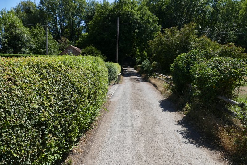
The lane to Pishill church
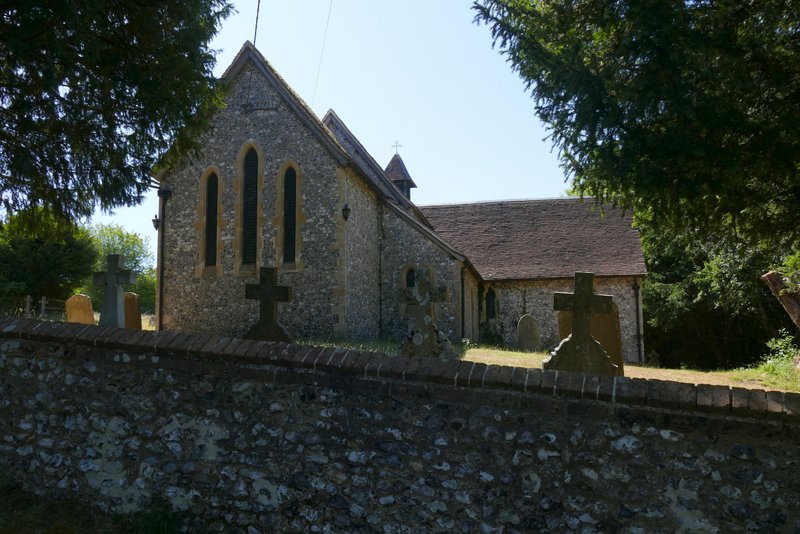
Pishill church
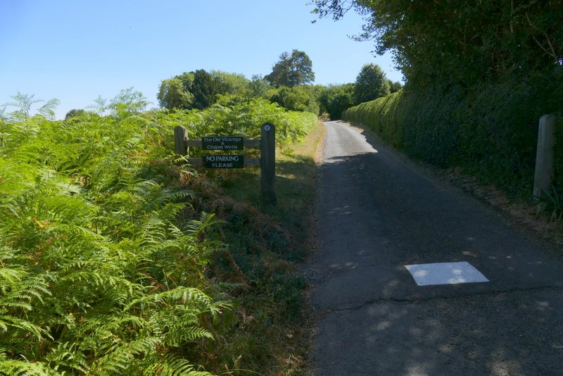
The lane continuing from Pishill church
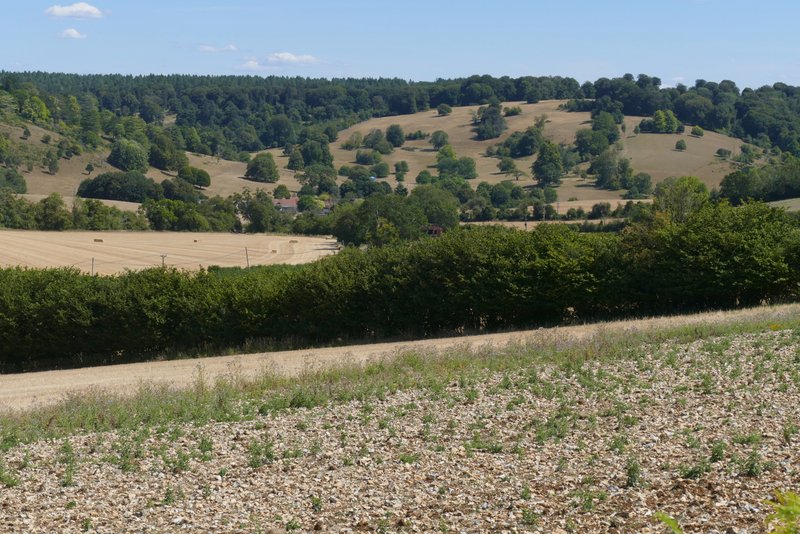
View from near Pishill church towards the deer park at Stonor
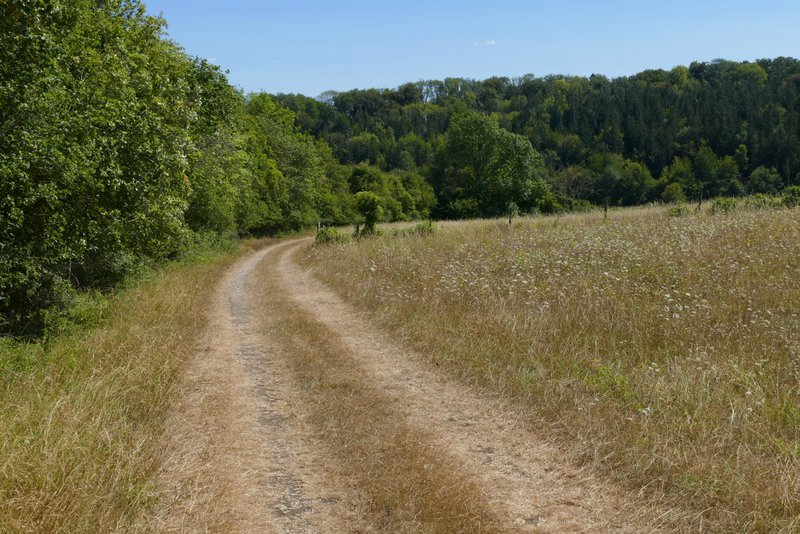
The bridleway from Pishill to Maidensgrove
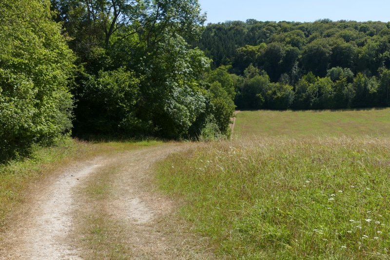
The bridleway from Pishill to Maidensgrove
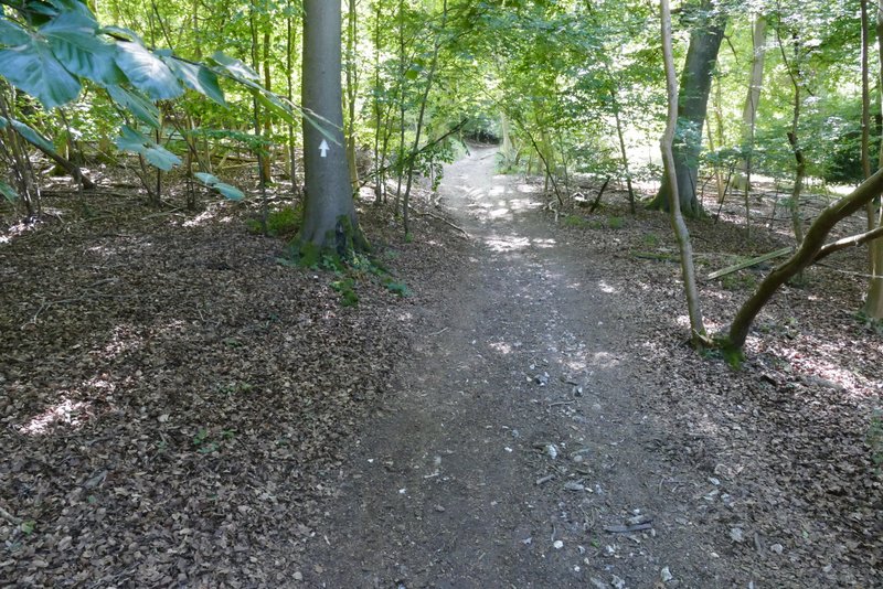
The bridleway from Pishill to Maidensgrove, climbing up through the woods
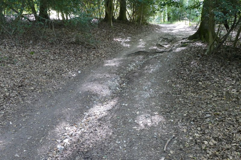
The bridleway from Pishill to Maidensgrove
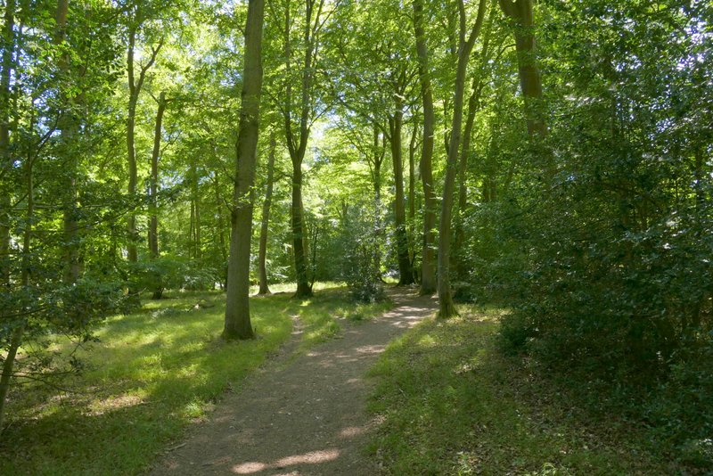
The bridleway from Pishill to Maidensgrove
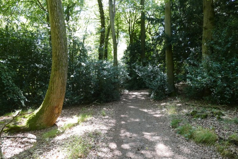
The bridleway from Pishill to Maidensgrove
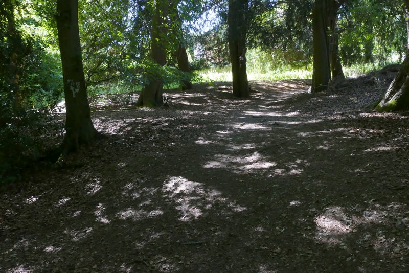
The short path to Maidensgrove, after I turned right from the bridleway
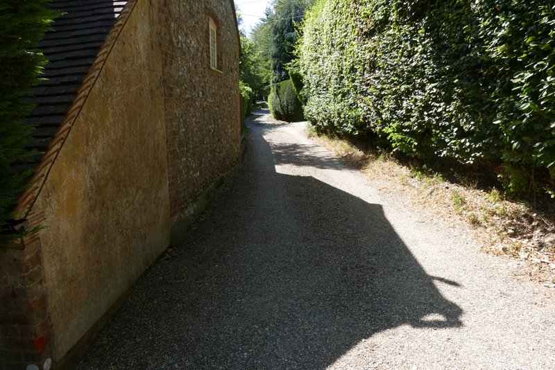
The private drive at Maidensgrove
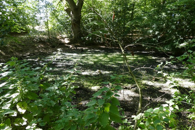
Pond on the edge of Maidensgrove Common - sadly it was almost completely dry (we've already had four heatwaves, and an official drought has been declared for much of southern, eastern and central England and for all of Wales)
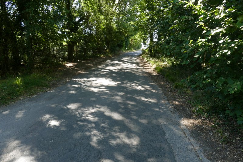
The lane through Maidensgrove
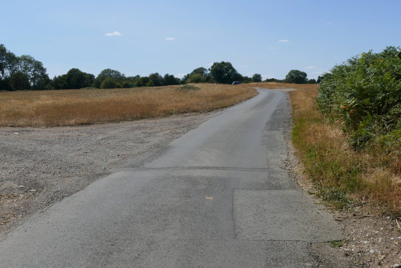
Where the lane reaches Maidensgrove Common
This was a really good walk on a fine summer's day - the temperature was in the low 20s centigrade, probably reaching 25 at the end of the walk, with a slight breeze cooling things down slightly. When I did this walk in January 2024 I just made the route up in a few minutes when I got to Maidensgrove Common (having been unable to do my intended walk because I couldn't find a parking place in Christmas Common), and then made a couple of changes to the route as I was doing the walk. It certainly worked out well, because it's definitely a route that I'd be very happy to walk again.