Pete's Walks - Pitstone Hill and Grand Union Canal (page 1 of 4)
If you are considering walking this route yourself, please see my disclaimer. You may also like to see these notes about the maps and GPX files.
Google map of the walkDownload GPX file of the walk
I did this circular walk of roughly 8.5 miles miles on Saturday, 7th November 2026. It was a repeat of a walk I first did in November 2013 and have repeated several times since, but this would be only the second time that I walked it in the anti-clockwise direction. It is a cut down version of my Pitstone Hill and Wigginton walk (Walk 4 of my Chiltern Chain Walk), shortened simply by following the towpath of the Grand Union Canal from Tring Station to Cow Roast. I definitely have a preference for doing these walks clockwise, as this means that a sequence of three hills in fairly quick succession comes at the start of the walk rather than at the end. But today I just wanted to do something a bit different.
I parked in the car park for Pitstone Hill (grid reference SP 954148) and started walking about 10.15am. As I'd entered the car park I'd seen two people in Hi Vis jackets who were obviously marshals for some sort of race that would cross the lane at that point. As I was getting my boots on, they told me that there would be people and dogs running a canicross race coming through in a few minutes. I had to ask what canicross was, and learned that it's cross-country running with dogs (apparently it started as an off-season training exercise for sled dogs). As I went straight up and over the 'hillock' by the car park, I met two or three competitors in the race coming the other way. I could see more runners and dogs coming towards me when I reached the top of the hillock. I gradually counted them off as I continued on my way to the top of Pitstone Hill and by the time I got there I'd seen all the 23 that the marshals had told me were running in the race. The views from Pitstone Hill were very restricted today, it was rather misty and there was fog over the lower lying land at the foot of the hill. I then continued along part of the Ridgeway as it descended across the western slope of the hill, following the line of an ancient earthwork called Grim's Ditch.
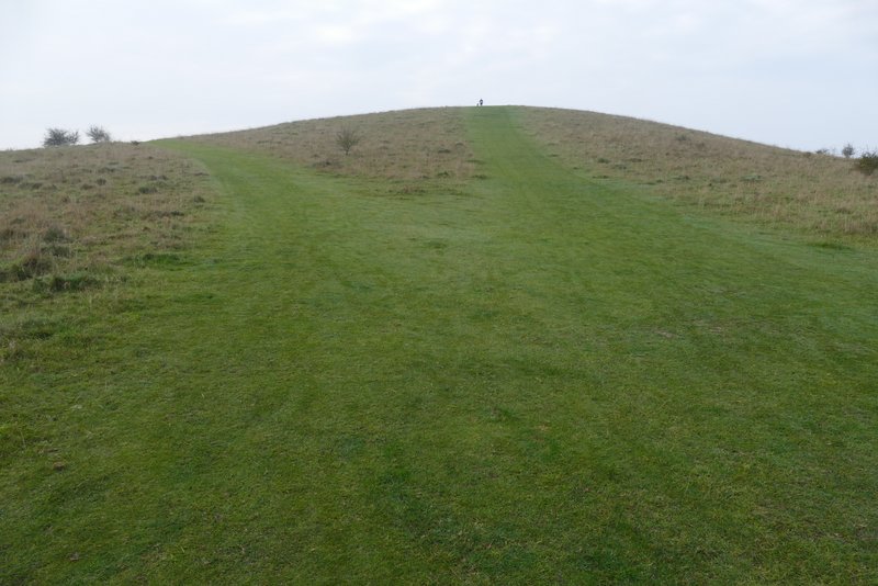
The 'hillock' by the Pitstone Hill car park (I went straight on here, rather than avoid most of the hillock by forking left)
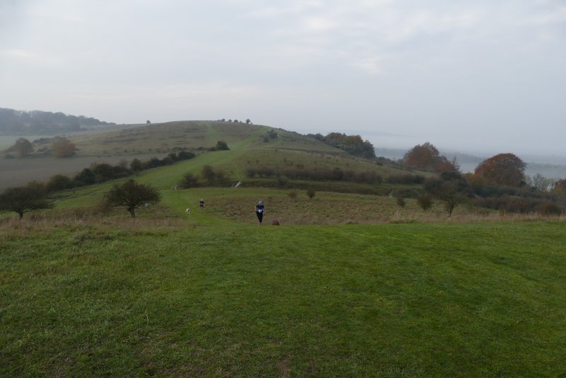
The path to Pitstone Hill from the hillock - the two people running with dogs were taking part in a canicross race (cross-country running with dogs)
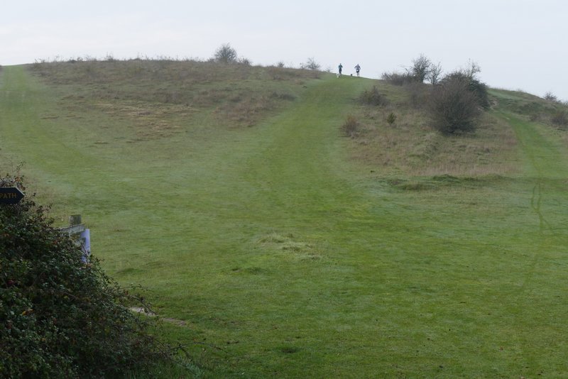
The path to Pitstone Hill (I took the rightmost of the three paths)
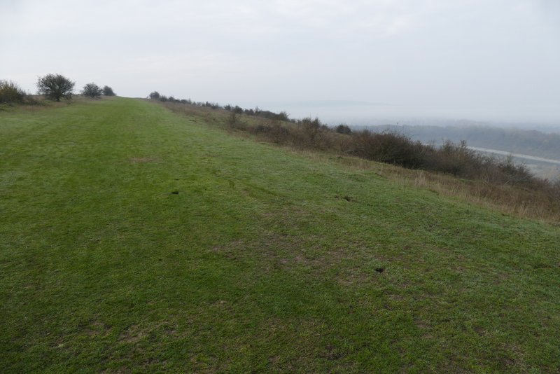
The path on Pitstone Hill
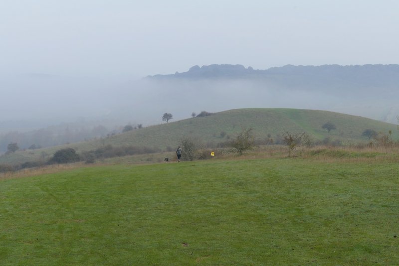
View back fromPitstone Hill to the hillok and Steps Hill - Ivinghoe Beacon is lost in the fog to the right
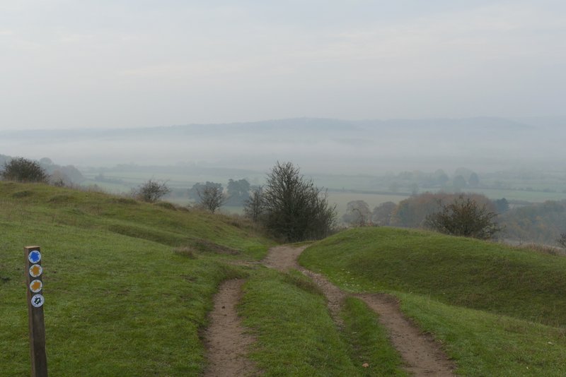
The start of the descent along Grims Ditch on Pitstone Hill
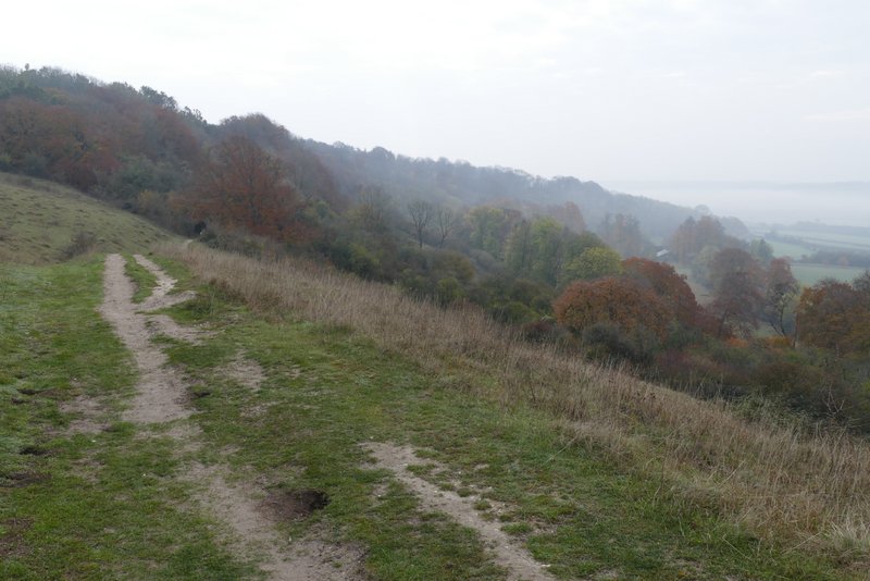
Grims Ditch on Pitstone Hill
Through a gate I continued through a wood for about half a mile (I still don't know if Aldbury Nowers is the name of the wood or the hill it covers), the Ridgeway then briefly passing a more open area that is part of the Aldbury Nowers nature reserve. Briefly back in the woods, I dropped down a flight of 'steps' and turned right at a T-junction (another path had just gone right a few yards before this). The Ridgeway continued through another bit of the reserve, then turned left at a path junction. After following a bridleway between tall hedges for almost another half mile, I turned right at a crossroads of bridleways and soon came to a road. I usually turn right here and follow the road into Tring Station, but today I crossed the road and turned right along a permissive path, which avoided the road as far as the entrance to the station car park. I then followed the road through Tring Station (it's a place as well as a station).
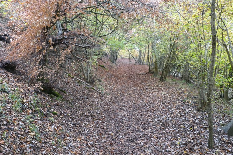
Aldbury Nowers

Aldbury Nowers
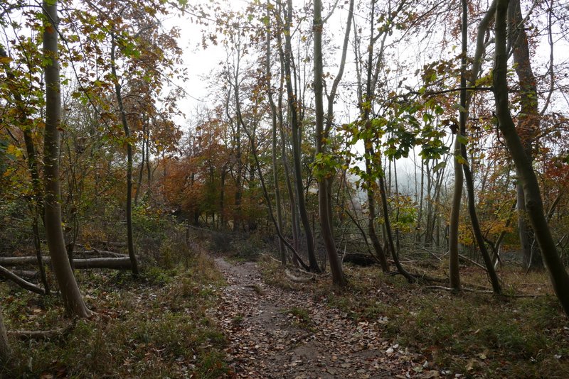
Aldbury Nowers
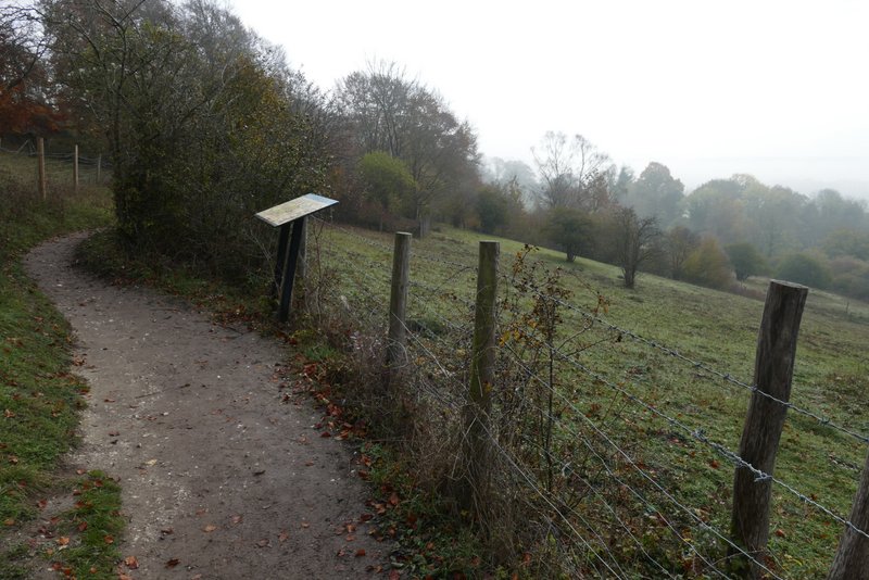
The Ridgeway passing the Aldbury Nowers nature reserve
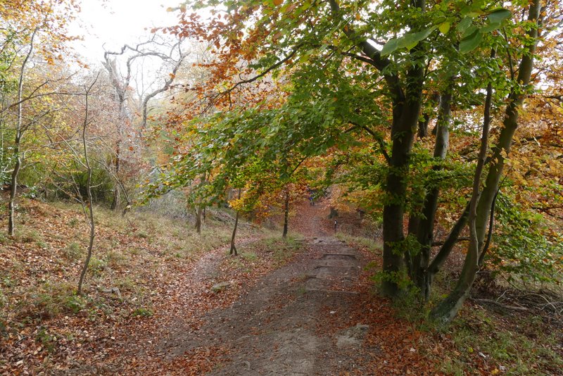
Where the path goes down a flight of 'steps'
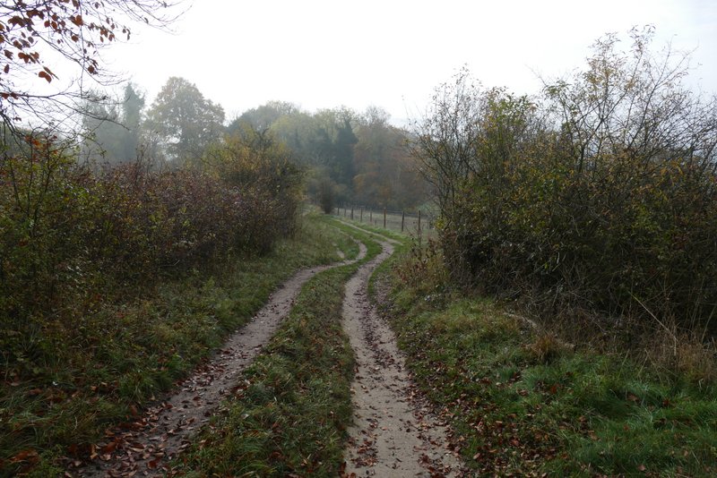
The Ridgeway passing through the Aldbury Nowers nature reserve

The bridleway continuing from Aldbury Nowers
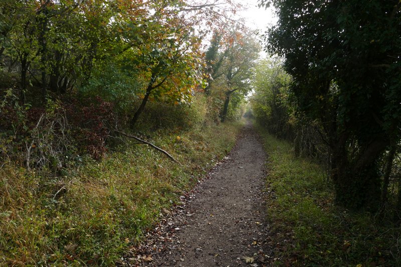
The bridleway continuing from Aldbury Nowers
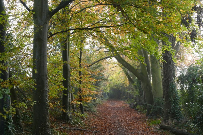
The bridleway continuing from Aldbury Nowers
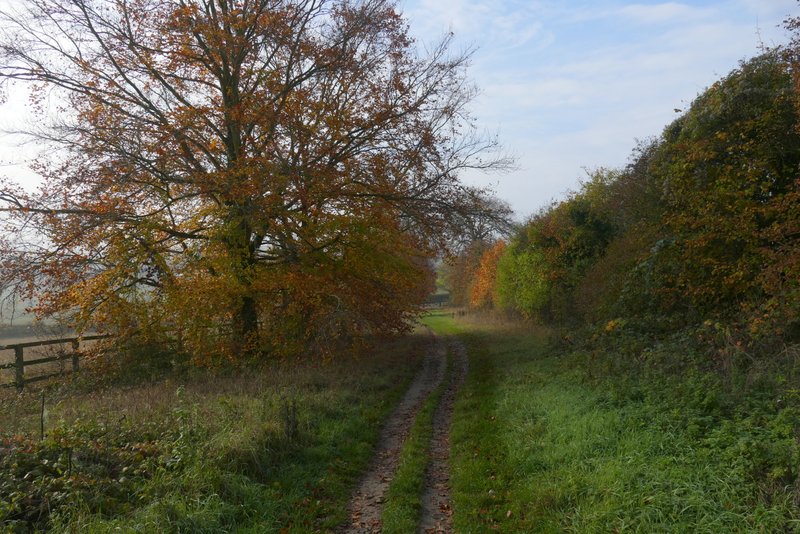
The bridleway after I turned right at the bridleway crossroads
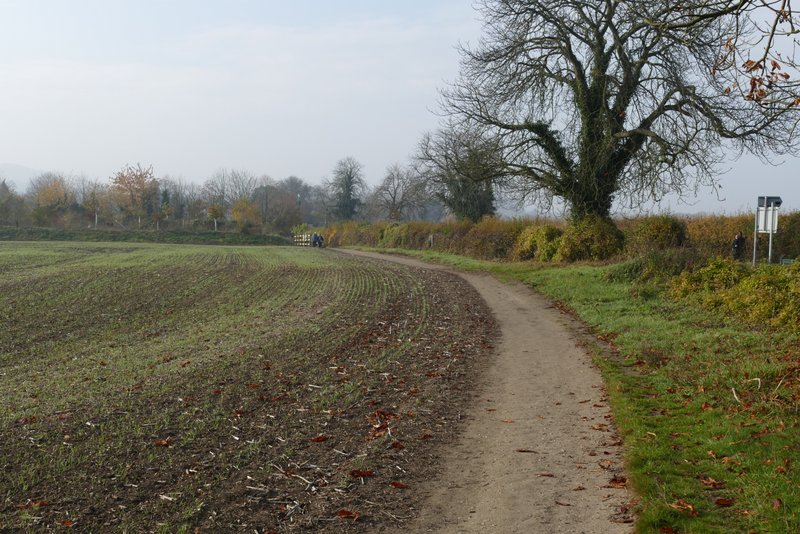
The permissive path beside the road into Tring