Pete's Walks - A Dales Walk
If you are considering walking this route yourself, please see my disclaimer. You may also like to see these notes about the maps and GPX files.
Day 6 16/06/06 Reeth to Richmond (10.5 miles, approximately)
This was a relatively easy and straight-forward walk to finish our journey, with only a couple of very minor ascents, following the Coast-to-Coast route almost the entire way. Yet again we were very fortunate with the weather, as it remained warm and dry throughout the day.
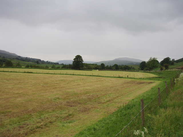
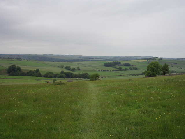
[1] Looking back along Swaledale from the lane to Marrick Priory
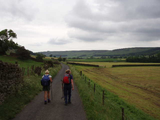
[2] The lane leading towards Marrick Priory
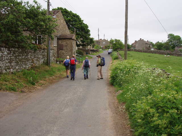
[3] Lane through Marrick
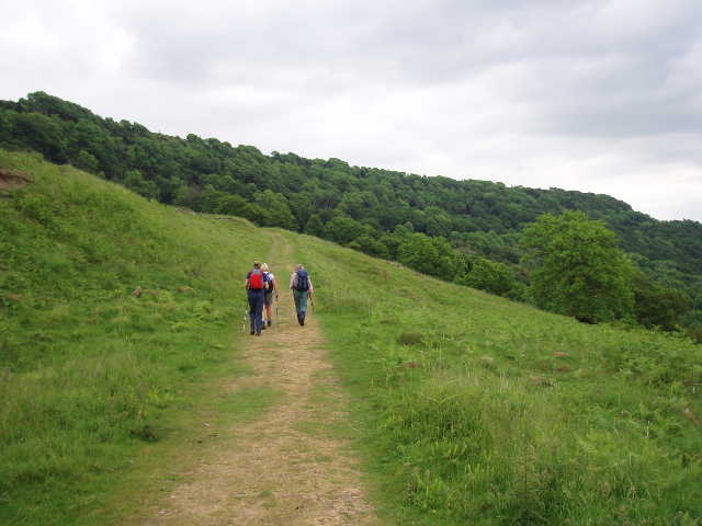
We took the road heading east from Reeth until it crossed Arkle Beck at Reeth Bridge, turning right onto a footpath shortly afterwards. This took us to Grinton Bridge, but rather than cross the river Swale we continued on a good path on the north side of the river. This soon led to a metalled track [1,2]. We followed this eastward for about half a mile until it reached Marrick Priory, the tower of which we could see from some way off. Little of the 12th century buildings survive other than the church with its tower, this home of Benedictine nuns having been dissolved along with so many other monasteries and priories by Henry VIII. Some of the surrounding buildings are now used as an Outdoor Education Centre supported by English Heritage, others are part of a farm.
[4] Path between Marrick and Marske
[5] Path between Marrick and Marske
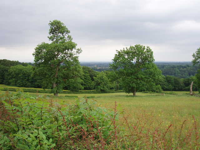
We took a path off to the left opposite Marrick Priory, climbing quite steeply through a wood and then across grassy pastures to reach the village of Marrick, where we stopped for a breather and to drink some water. We then followed lanes out of Marrick [3], before taking a path that lead across a sequence of fields towards the next village we would come to, Marske. This part of the walk was quite straightforward, mainly through fields of grass [4,5], with the Hutton monument in clear view ahead (raised in memory of a Captain Matthew Hutton in 1814 apparently, not as I suggested, in honour of the great Yorkshire and England batsman!). At one point we passed a farmer and his colleague shearing sheep, and just beyond this crossed a beck that contained masses of Water Crowfoot. Eventually we reached a lane, which led steeply downhill to Marske. Here we stopped at the side of a road to eat our lunch, a couple of Coast-to-Coast walkers having the same idea.
[6] The path just beyond Marske
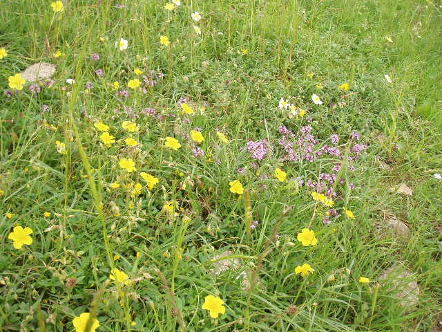
[7] Wildflowers near Applegarth Scar
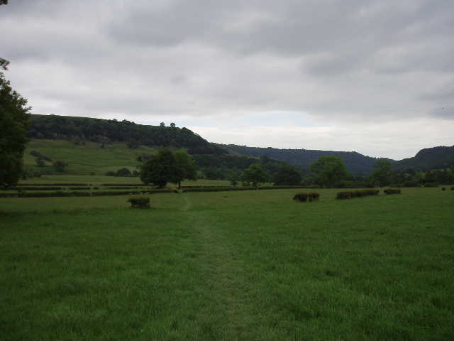
[8] View over Swaledale from near Whitcliffe Wood
Just after we set off from Marske, an unfortunate incident occurred. James, our HF leader, led the way as we turned off the road and went over a stile on the right. As he put his foot down on a stone as he was descending the stile, his ankle went over on its side – as he was stepping down, all his weight was on that ankle, so it must have been agony. He obviously sprained it quite badly. He bandaged it up (he’s a nurse by profession) but when he tried to walk on it (even with the help of walking poles that others in the group lent him) it was far too painful for him to carry on. We made sure he could get back over the stile to the road (it was fortunate that he did it next to a road, we didn’t pass another one for several miles), and waited while he phoned for a taxi to take him to Richmond (118 118 first put him through to a taxi firm in Richmond, Surrey, despite him specifically saying Richmond in North Yorkshire!). Assured that he was OK, and that the taxi would be there in ten minutes or so, the rest of us carried on without him.
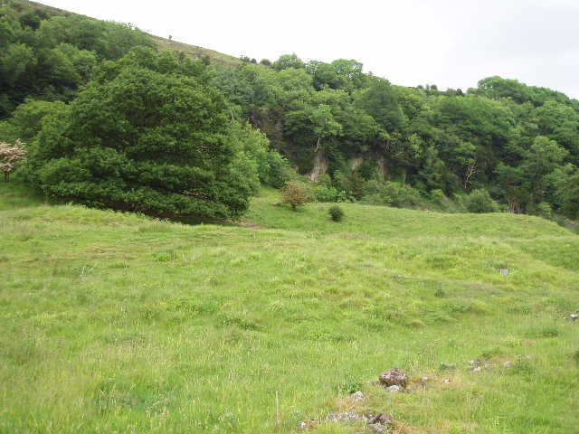
Fortunately, the last five miles into Richmond was very straightforward and required very little path finding. We crossed a sequence of grass fields [6] by means of a number of stiles, all the while heading towards Applegarth Scar, a limestone edge [7]. Having crossed a footbridge over a beck, we climbed steeply to a prominent whitewashed stone below the cliff, where we turned right along a clear track. We could see Whitcliffe Wood ahead, and the river Swale below passing through a narrow wooded gorge [8]. We continued on the track and then a well-sign-posted path, through several sheep pastures and past a number of scattered buildings, with the limestone edge to our left [9]. We saw the obelisk on the cliff top commemorating Willance’s Leap [10]. In the seventeenth century, a gentleman by the name of Robert Willance got lost in a blizzard and his horse went over the cliff – the horse was killed but he survived (according to Anne, he broke his legs but cut the horse’s belly open and put his legs inside to keep them warm) and was rescued the next day. In gratitude he gave a silver chalice to Richmond, which is preserved today.
[9] Path leading to Whitcliffe Wood
[10] The path near Willance's Leap
[11] View towards Richmond
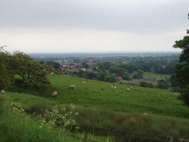
Further on, we came to Whitcliffe Wood, and entered it on a good clear track. It was very pleasant walking through the wood, and made a change as we had passed through very few woods on our journey from Leyburn. Beyond the wood, we continued on the track, which became a metalled lane by some cottages. We could now see our destination of Richmond ahead of us in the valley, the castle keep being an obvious landmark. We took a final water break at a bench with a good view over the town [11], then continued along the lane. We went over a stile, and followed a path for a short distance parallel to the lane [12], rejoining it as it entered the town. We then simply wandered through the streets of this charming town [13], to complete our walk at the large market square. Here we were very pleased to see James again, who had got there safely by taxi. A kindly Coast-to-Coast walker took some group photos for us, we all shook hands and most of us celebrated with a very tasty ice-cream. Our journey was over!
[12] Looking towards Richmond
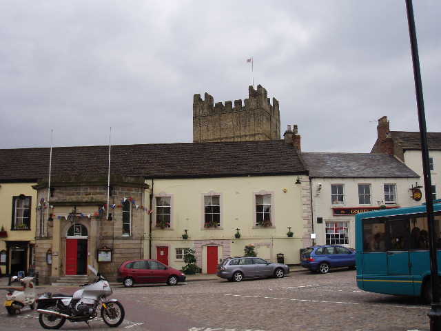
[13] Richmond
I was envious of the Coast-to-Coast walkers we saw in Richmond. Our walk was over, they still had several days to go – I really wished I was continuing on with them, across the North York Moors to the east coast and Robin Hood’s Bay … mind you, I think I’d have liked a rest day first!
Total Distance: 73 miles approximately