Pete's Walks - Bledlow Ridge, West Wycombe, Bradenham (page 2 of 4)
I took a path downhill from the Mausoleum, passing the entrance to the Hellfire Caves, and made my way down Church Lane to reach the main road (the A40) running through West Wycombe. I turned left and followed the road through the attractive old houses here, continuing on to reach a roundabout.
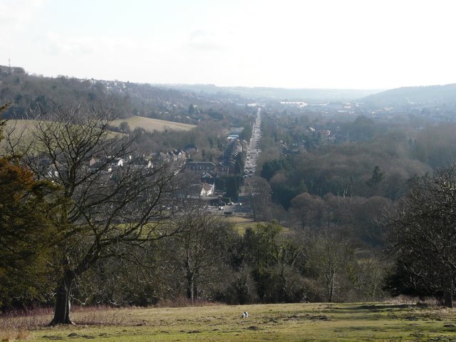
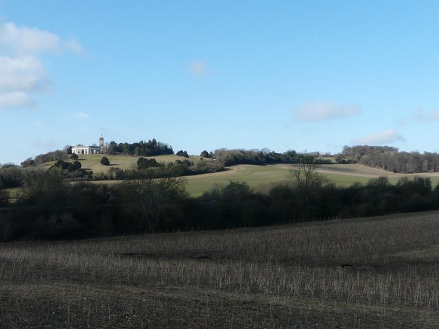
Looking southeast along the A40 towards High Wycombe, from West Wycombe Hill
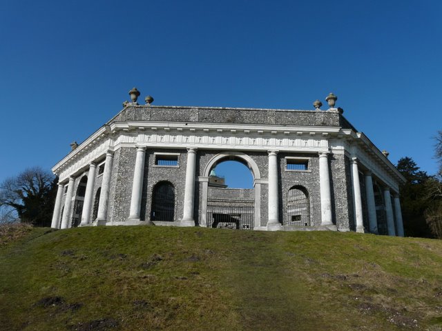
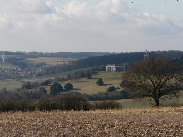
The Dashwood family mausoleum on West Wycombe Hill
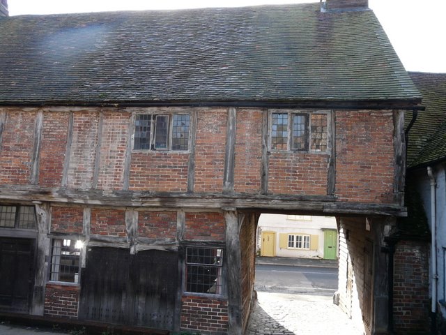
Old building in West Wycombe - I followed Church Lane through the arch to reach the main road (A40)
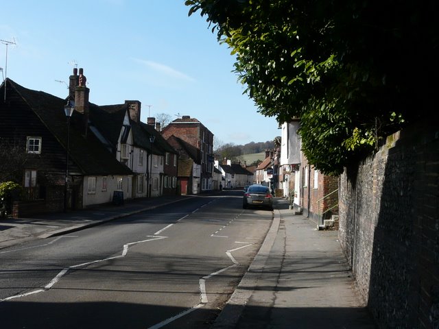
Looking back along the A40 through West Wycombe
From the roundabout I took a route that was new to me, going a few yards left and then taking a private road that led under a railway bridge, before turning on to a bridleway on the right (I'd ignored a footpath on the right) heading eastwards and gently rising uphill. After almost half a mile I came to a junction, where I forked half-left, to head towards Downley Common rather than continue ahead to Downley. The bridleway carried on rising gently uphill between hedgerows, with occasional views back to West Wycombe. There were numerous Chaffinches at one point, and I spotted a Long-tailed Tit just before I reached Downley Common.
Looking back to West Wycombe Hill from the start of the bridleway to Downley
The bridleway to Downley Common, from where it forks left from the bridleway to Downley
Close-up shot looking back to West Wycombe, from the bridleway to Downley Common
The bridleway to Downley Common
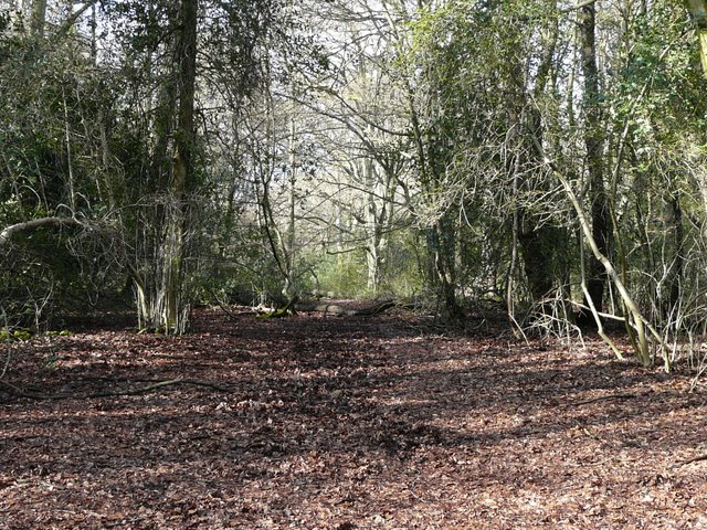
I turned left when I reached the few cottages and a sports field at Downley Common, soon joining a path heading north through a narrow belt of trees. I stuck to the path close to the left edge of the trees, though there was a bridleway a few yards to my right. The path was pretty muddy in places, as was most of the next bit of the walk and other bits of the route today. At one point I came to a junction where I took the path closest to the left edge of the wood, but it soon petered out and I caught my right arm painfully on the sharp stub of a broken tree branch as I made my way back. I managed to stay close to the left edge of the trees though (this part of the path isn't shown on the OS map, but it is an "open access" area), and so noticed when I reached a field corner there where the wood (Naphill Common) spread out leftwards. I stayed left at a junction here where two other paths went right, a few yards further I went right at a fork, and a few yards beyond that went left at a fork (these last two junctions appear as one three-way split on the OS map).
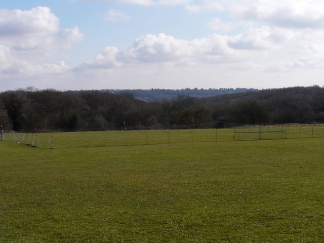
View from Downley Common
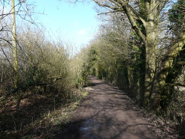
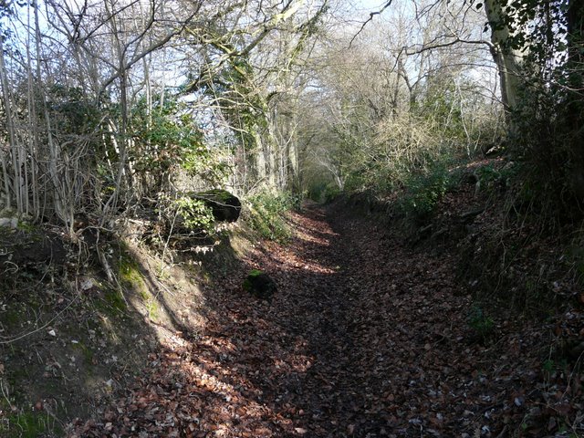
Start of the path north from Downley Common
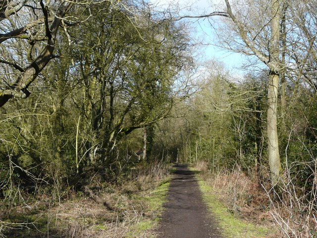
The path north from Downley Common, towards Naphill Common
The path north from Downley Common, towards Naphill Common
The path soon took me to a broad bridleway running through the trees of Naphill Common, where I turned left, and followed the bridleway westwards towards Bradenham. I recognised my surroundings as I passed Bradenham Hill Farm, and was slightly relieved to have navigated my way there successfully - I'd only walked through these woods once before, in the opposite direction on a walk that went to Hughendon Manor, and although I didn't get lost then I'd never been entirely sure of my location as there seemed to be far more paths on the ground than on the map.
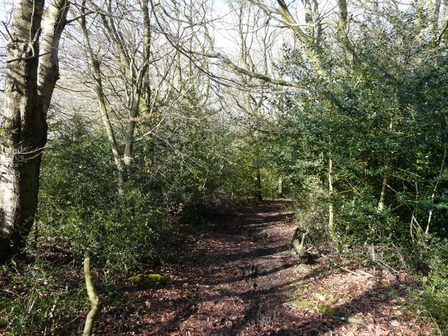
Path on Naphill Common
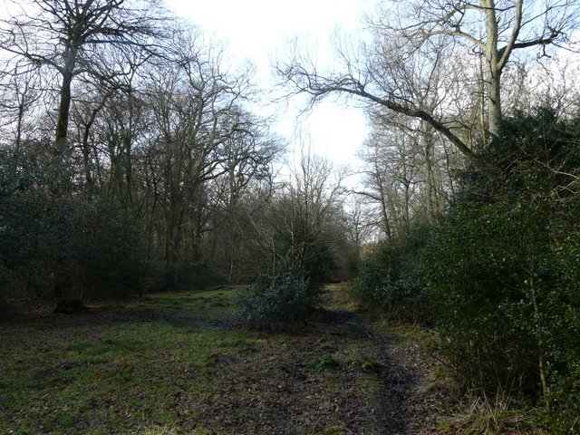
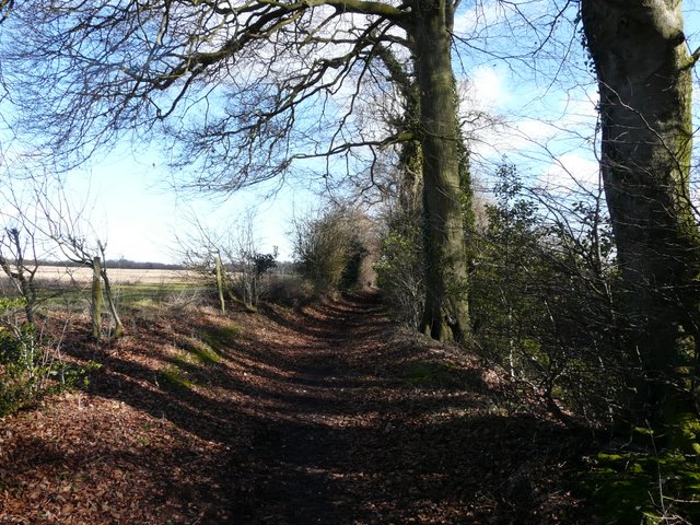
Bridleway from Naphill Common to Bradenham
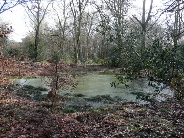
Pond on Naphill Common