Pete's Walks - Buckland Common and The Lee (part 2)
I turned right and followed the track into the village of The Lee, close to a road junction by The Cock and Rabbit pub. From the pub I followed a lane round the left side of the large village green, immediately passing a big lump of Hertfordshire Puddingstone. I didn't see anyone in the village - not surprising really, I think the inhabitants have all been bumped off in the numerous episodes of Midsomer Murders that have been filmed here! :) Still following the route of the Chiltern Link, I passed the village church, and then took a footpath on the left, crossing a paddock, passing through a garden, then going half-right across a pasture.
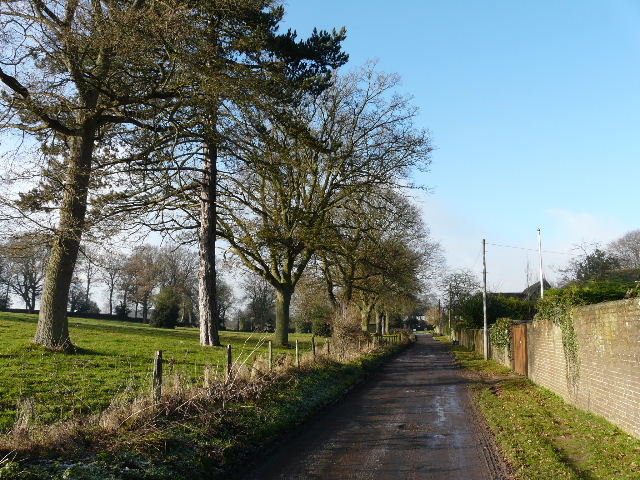
Track heading into The Lee
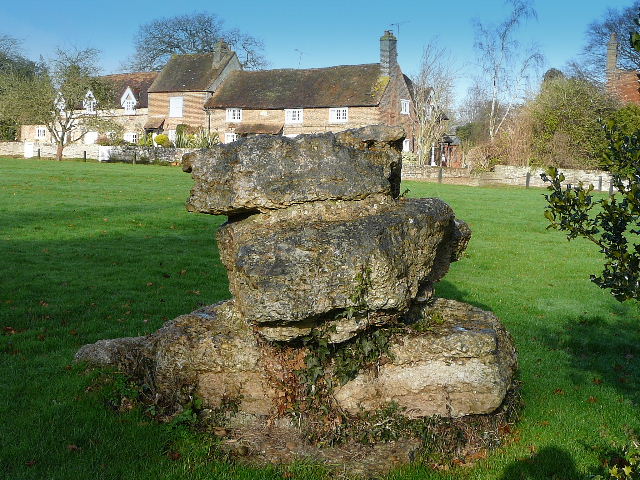
Hertfordshire Puddingstone on the green at The Lee
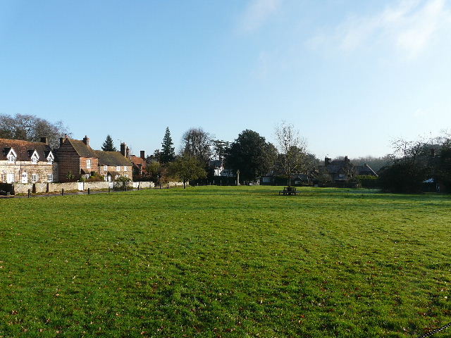
Looking back over the green at The Lee
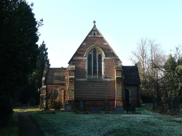
The church at The Lee (there is an older church behind this one)
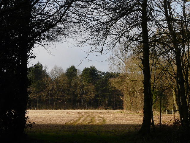
The next three quarters of a mile or so was a very pleasant but straightforward section, following a long hedgerow through a succession of fields. The path soon switched to the left of the hedge, and initially the fields on my side of the hedge were ploughed, with stubble in the fields on the far side. Later on the fields were stubble on both sides. There was the occasional mature tree dotting the hedgerow. In one field corner I followed the hedge a few yards left before going through a gap (at a path junction) and continuing beside another hedge in the same direction as before. At one point a gap in the hedge marked where I crossed the route of the Chiltern Way (heading for Lee Gate, a short distance to my right). The path along the hedgerow was very flat, but across the fields on my left I could see the ground start to drop into a valley, with the top of the opposite hillside in view (though rather hazy, despite the mainly blue skies).
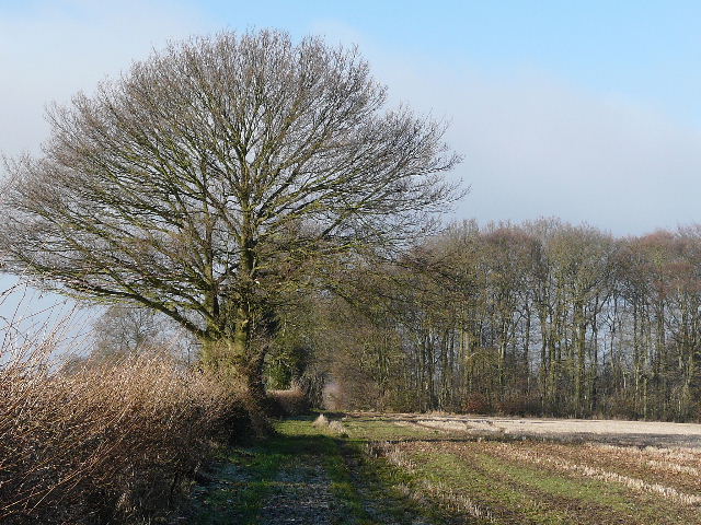
Near the start of the path from The Lee to Kingsash, part of the route of the Chiltern Link
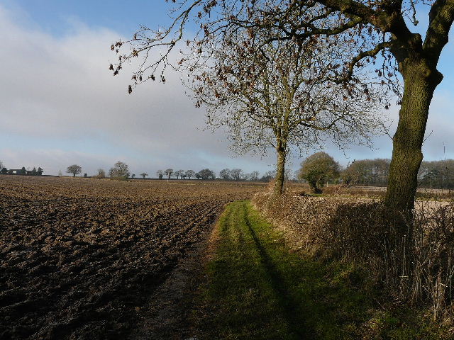
The path from The Lee to Kingsash
The path from The Lee to Kingsash
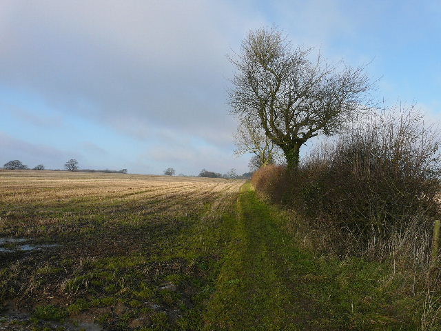
Looking left from the path from The Lee to Kingsash
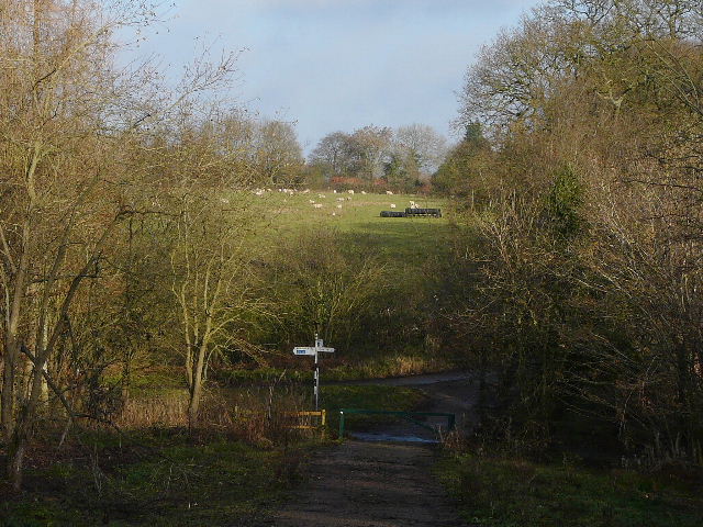
The path turned slowly from northwest to north, and eventually I crossed a paddock to reach the hamlet of Kingsash (waymarks indicated the way through the grounds of a property and along its drive). I left the route of the Chiltern Link (which continued ahead to reach Wendover via Hogtrough Lane), and turned right along a minor road for a few hundred yards. Where the road turned right, I followed a bridleway ahead for a few yards along a green lane, before taking a footpath on my left (Note: when I've repeated this walk I've preferred to go straight on and turn left at the next path crossroads - this is shown as Alternative 2 on the Google map). This ran alongside the right-hand hedge of a very large pasture, occupied by numerous black sheep (rather uncommon in this area, at least I don't remember seeing them too often). There were a couple of horses here too.
The minor road heading east from Kingsash
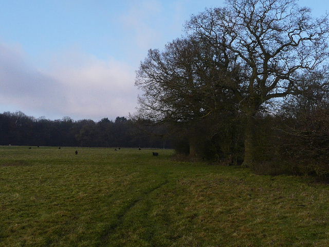
The path through the large sheep pasture (the black dots are sheep, honest!)
When I finally reached the corner of the pasture, I continued ahead on a clear but muddy path through a wood. I soon came to a staggered junction (Note: Alternative 2 arrives at the same point), where I went a few yards to my right then turned left to continue on a path in the same northerly direction as before. I was now on the route of Walk 5 of the Chiltern Chain Walk - there had been a glorious display of bluebells here when I did that walk, no sign of them on what was now a lovely December day! The path curved right, and headed northeast, soon running close to the line of the ancient earthwork of Grim's Ditch. The path was soon running through Baldwin's Wood, sometimes with fields close by on one side or the other, and occasionally a view out through a gateway across the stubble. I kept straight on at a few path junctions, staying within the woods rather than taking paths out to the fields.
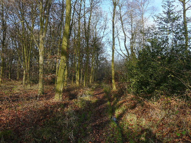
The woodland path after the sheep pasture
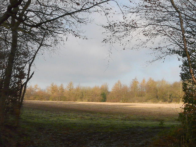
Looking out from the path running close to Grim's Ditch
Looking out from the path running close to Grim's Ditch
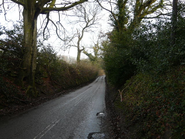
After about three quarters of a mile, I reached the end of the woods at a lane junction. It was just after 1pm, but there was nowhere to sit to eat my lunch so I had a second Alpen bar and carried on. I took the lane going ahead, with steep banks either side that had had a good display of wildflowers when I did the Chiltern Chain Walk.
Approaching the lane junction
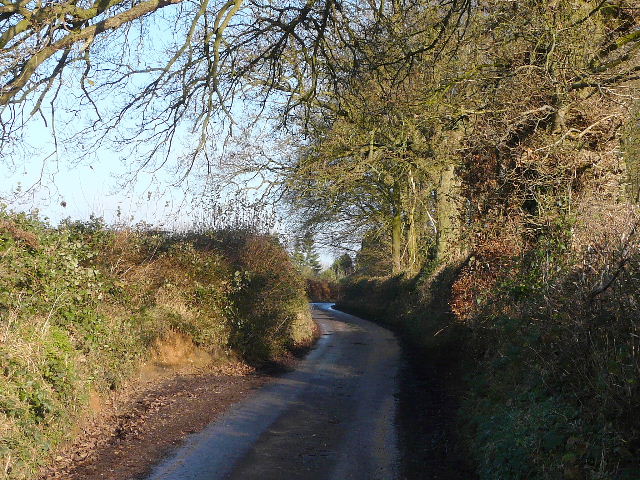
The lane heading towards St Leonards