Pete's Walks - Buckland Common, Cholesbury, Chartridge (part 2)
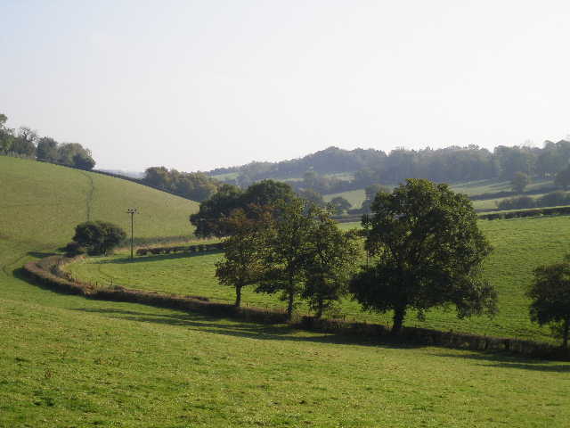
Captain's Wood was another beech wood, so typical of the Chilterns, and I enjoyed walking through it. I left it on the far side, by a complicated path junction. I had a nice view northwards along a valley, quite deep and steep-sided by Chiltern standards. I turned left, and followed a hedgerow descending into the valley and rising up the other side (the path switching to the left of the hedge about halfway up).
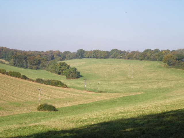
View north from exit from Captain's Wood
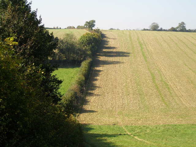
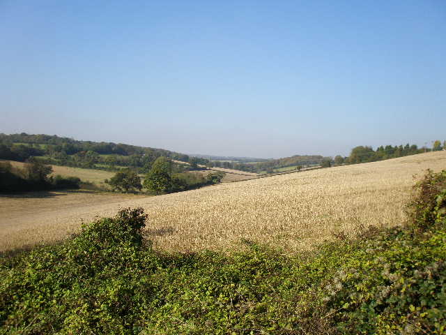
The path across the steep-sided valley from near Captain's Wood
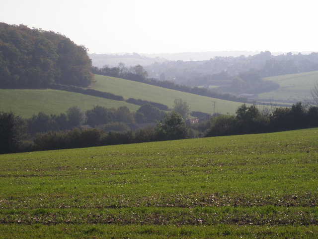
View south from the other side of the valley
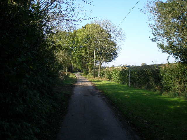
The path took me to another road, where I turned right for a short distance, before turning left on a bridleway. This descended another deep and picturesque valley, initially beside the grounds of a cottage, then switching to the left of a hedge. It then rose up the other side between hedges, with a large caravan park on my left. At the top of the hill I continued along the drive from the caravan park to reach the main road running through the village of Chartridge, where I turned right.
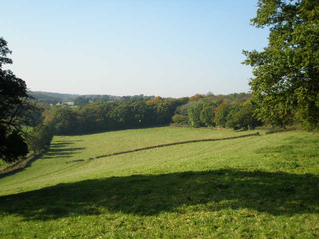
The valley before reaching Chartridge
Looking north along the valley before Chartridge
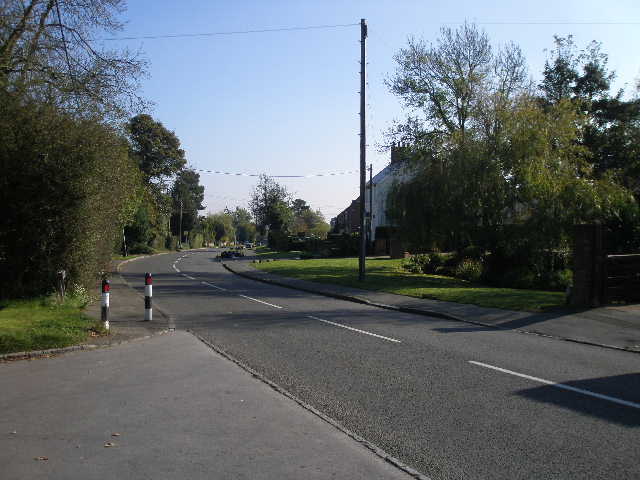
Chartridge
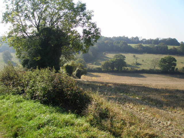
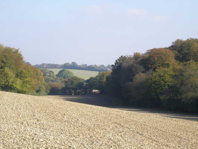
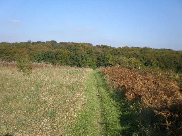
I followed the road through Chartridge for almost half a mile, before turning left down Cogdells Lane, where I stopped to eat my sandwiches on a bench by a playing field on the right. I then continued down the lane, which soon became a farm drive. Where this turned left to the farm, a bridleway continued ahead. This soon turned right, giving a nice view over a green valley ahead. The bridleway then continued with a hedge on the left and a wood on the right, before entering the wood at a field corner where there was a nice view back along the valley.
Green valley after Chartridge - the bridleway runs between the hedge and the wood, on the right
The bridleway from Chartridge
From the edge of the wood, looking south along the valley (Pednor Bottom, I think)
I went a short distance through the wood to reach a bridleway just inside the far edge of the wood. I briefly went wrong here, going left instead of right. When I corrected myself, I followed the bridleway a short distance to a path crossroads at a point where the wood widened out on my left. The bridleway turned right here, but I followed the footpath ahead, which ran for over half a mile slowly curving left through Lownde's Wood, before crossing a couple of pastures to reach a minor road.
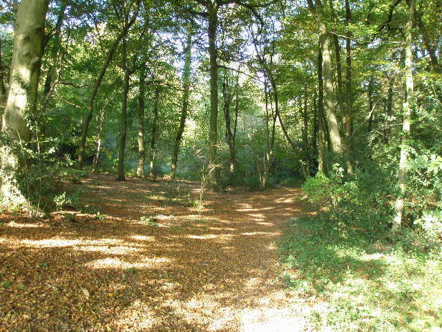
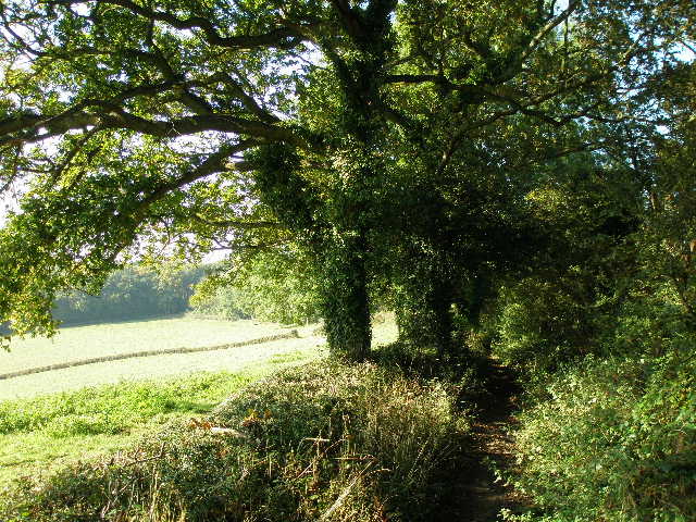
Path through Lownde's Wood
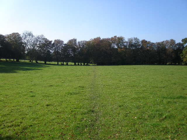
Path across pasture beyond Lownde's Wood
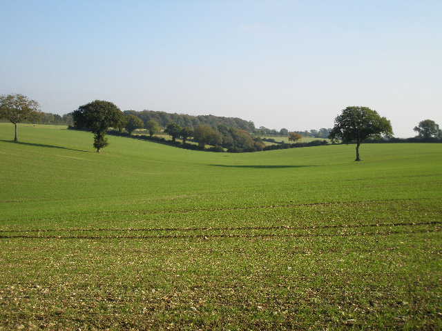
I turned right along the road, reaching a T-junction after a few hundred yards. Here I continued northwards beside a hedge, with paddocks and a farm over to my left and another wood ahead of me. I saw my first Red Kite of the day here, soaring over the wood and then across the paddocks. The path descended a small valley, then followed the edge of the wood up the other side, with a nice view across a ploughed field on my right.
View east from path to Arrewig Lane
Beyond the wood, the path continued beside a hedge and went down and up a very small valley, the ploughed field being replaced now by an area of very rough grass. The path took me to a bridleway where I turned right to reach Arrewig Lane (which I crossed on the Chiltern Way, a little to my left), where I went right a few yards to Errewig Farm (both names date back to the Saxons and mean 'way to the arable fields', according to the Chiltern Way guide book).
Arrewig Lane
I took a path on my left immediately before the farm. This soon took me to Lady Grove, a long narrow wood I'd also been through on the Chiltern Way. The path went left beside the wood, then entered the wood. I then kept right at a path junction.
Path north from Errewig Farm towards Lady Grove (wood)
On leaving the wood, the path crossed an area of rough grass with a small pit or quarry to my right - I saw another Red Kite here. I then followed a drive to the farm at Dundridge Manor.
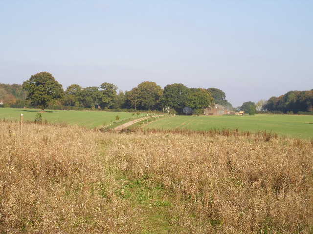
Path heading towards the farm at Dundridge Manor
Looking southeast from the path to Dundridge Manor
I took a path that went to the right of the farm buildings, then turned left along the far side of a hedgerow to reach the drive to the manor. I went a few yards right to the end of the drive, then turned left along a minor road. This soon ended at a junction, where I turned right and so returned to Buckland Common. I turned left into Bottom Lane to return to my parked car.
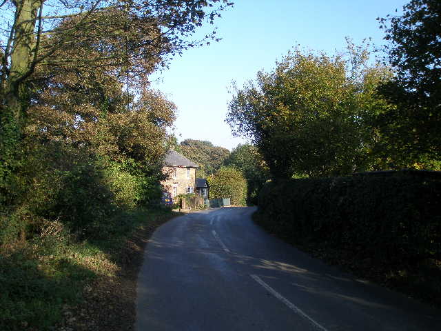
The road into Buckland Common