Pete's Walks - Chesham and Chartridge (part 1)
If you are considering walking this route yourself, please see my disclaimer. You may also like to see these notes about the maps and GPX files.
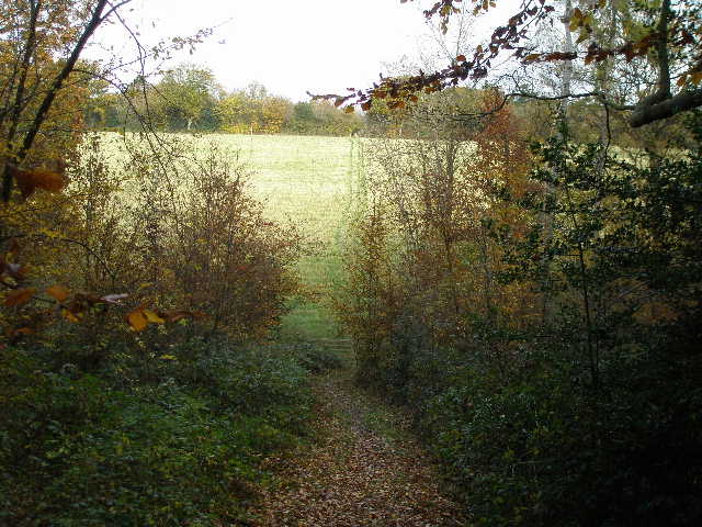
I did this 10 mile walk on Wednesday, 7th November 2007 - a cold but generally sunny day. I parked at the car park near Chesham Railway station, and started walking about 10.15am. I took the road leading downhill from the station to the high street, went a few yards right and then turned left to reach the main road through the town. Across this, I entered Lowndes Park, where I turned left along the far side of a large pond. At its end I turned right, soon passing Chesham church over a wall on my left. The path continued along the edge of the park, with tees on my left. On entering a corner of a field I reached a path junction, where I forked half-left and crossed the sloping field to a lane. Over this lane the path then crossed two large paddocks to a second lane.
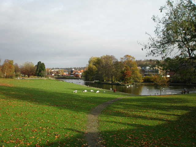
Lowndes Park, Chesham
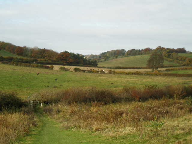
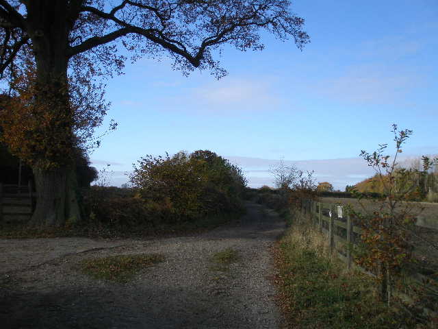
The path from Chesham, looking across the lane to the start of the valley called Herberts Hole
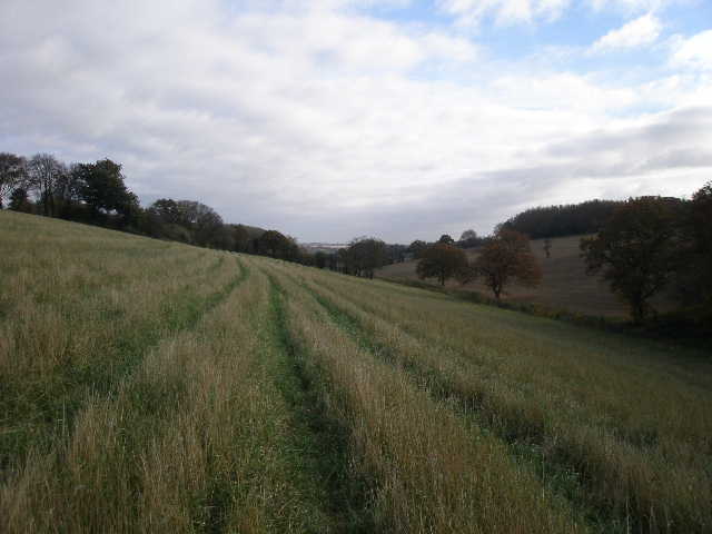
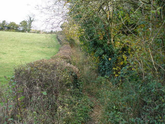
I went a short way right along the lane and then took a bridleway on the left. I’d originally thought of walking along a valley called Herberts Hole, which I’d enjoyed walking through on the Chiltern Link a couple of years ago, but instead decided to follow this bridleway that ran along the hilltop south of Herberts Hole (I'd not walked it before). This proved to be a good decision, as I enjoyed walking the bridleway, generally a good path between ivy- and holly-clad hedges, with occasional views over Herberts Hole to my right and another valley to my left.
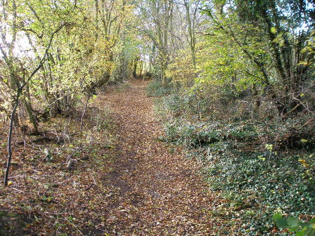
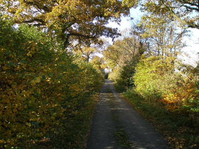
Start of the bridleway that follows the hilltop south of Herberts Hole
Herberts Hole from the bridleway
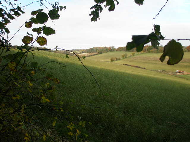
Looking over the valley to the left of the bridleway
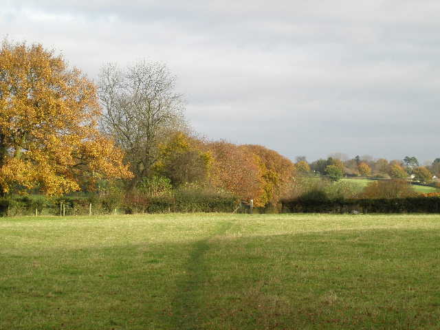
I saw my one Red Kite of the day where the bridleway became a farm track. Beyond a farm, about a mile from the start of the bridleway, the track became a lane, which soon reached a T-junction with another lane.
Where the bridleway becomes a farm track
The lane from the farm
I turned right for a short distance before taking a footpath going half-right, descending through a wood to the floor of Herberts Hole. I continued straight up the other side of the valley across a grass field, pausing to take photos up and down the valley (and to get my breath back!).
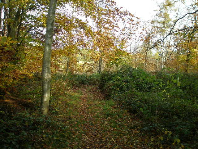
Start of the path descending through a wood to Herberts Hole
The path leaving the wood and rising up the other side of Herberts Hole
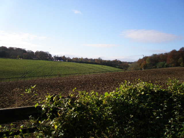
Looking east along Herberts Hole, back towards Chesham
I crossed a lane by Pednor House and continued northwards on a path through a sequence of sheep pastures, descending steadily into another valley (Pednor Bottom). Across another lane, the path rose steeply up the other side between a hedge and a wood on my right, then through a cattle pasture. The path then ran between hedges or fences to reach the village of Chartridge (I was here a week or two ago, on my walk that started at Buckland Common).
The path near Pednor House, heading towards Pednor Bottom
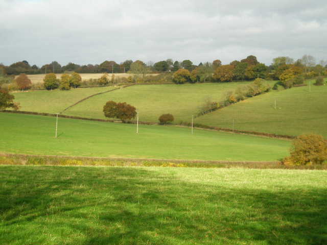
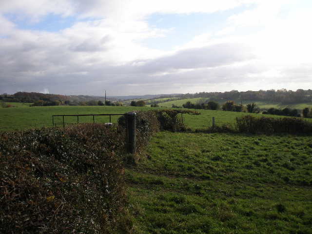
Looking northwest across Pednor Bottom
The path rising up the other side of Pednor Bottom
Looking southeast towards Chesham, from the path to Chartridge
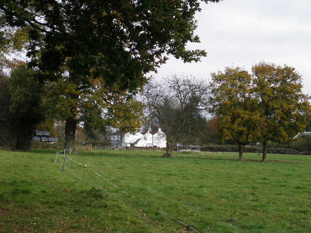
The path approaching Chartridge