Pete's Walks - Coombe Hill and the Hampdens (part 1)
If you are considering walking this route yourself, please see my disclaimer. You may also like to see these notes about the maps and GPX files.
I did this walk on 12th February, 2008 (for a longer and more detailed account of this route see here). I have done the same walk, or variations of it, several times before and I am sure I will do it many more times. It goes through one of my favourite parts of the Chilterns, an area that is a true delight to walk through. There are the typical Chilterns scenery of wooded hills and deep valleys, great views from the escarpment, attractive villages and various sites of historic interest. There are Red Kites and Buzzards in the air, and Muntjac and Fallow deer in the woods. At the right times of year there are a wide variety of wildflowers to be seen. This 12.5 mile walk really does have a great deal to offer.
I started at the car park on Coombe Hill, a couple of miles west of Wendover. Setting off about 10.40am, I went through the gate at the entrance to the car park and took the middle of three paths starting there. This crossed an area of grass and bushes then went through a belt of trees, after which I turned right and followed a broad strip of grass to to the monument on top of Coombe Hill.
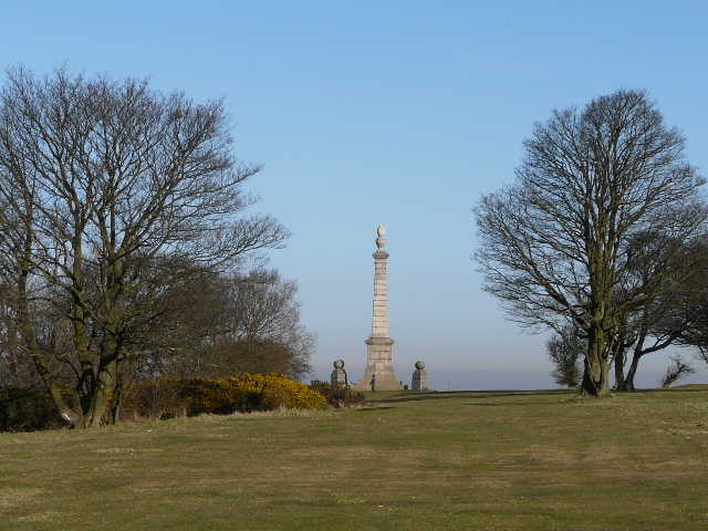
Approaching the monument on top of Coombe Hill
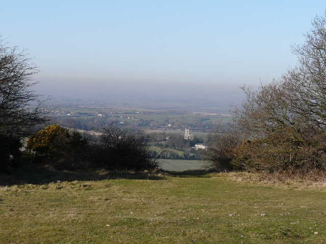
Ellesborough church and the Vale of Aylesbury from the approach to the monument on Coombe Hill. Note how the view gradually disappears into a bank of fog.
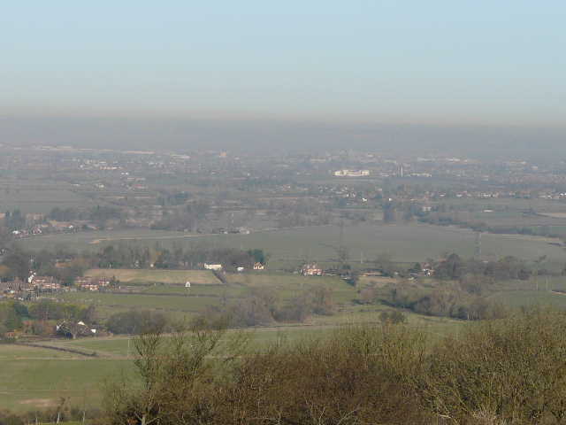
View towards Aylesbury from Coombe Hill. Again the view is restricted by fog.
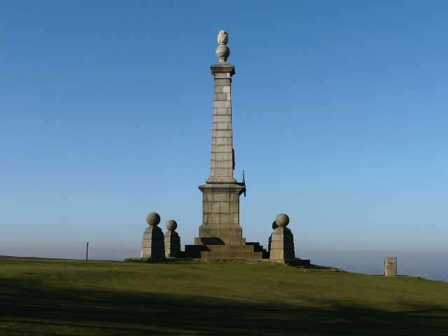
The monument on top of Coombe Hill
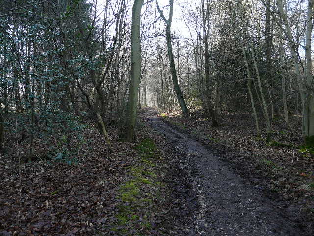
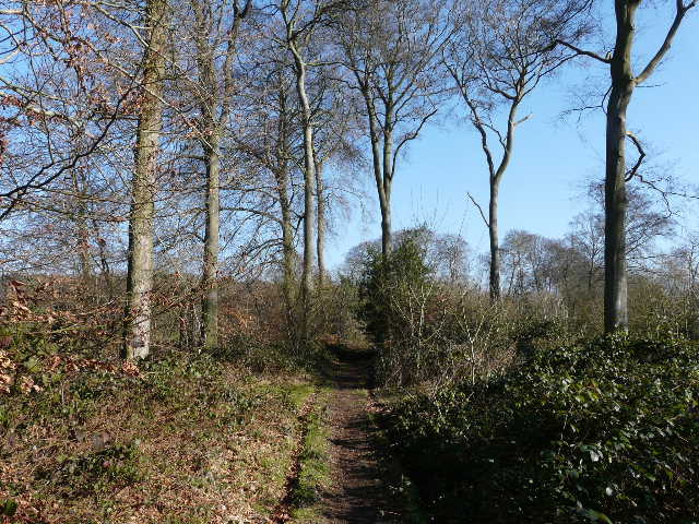
The monument on the top of Coombe Hill commemorates the men of Buckinghamshire who died during the Boer War. There are normally terrific views from here, but today they were somewhat restricted as a thin blanket of fog covered much of the Vale of Aylesbury. From the monument I turned right and joined a surfaced path. When it turned right (to head back to the car park), I continued ahead with trees now on my right. I went through a metal kissing-gate, turned right and crossed a broad track, then followed a footpath (marked by yellow arrows on trees), keeping left at a path junction to reach a bend in an old metal fence running through the wood. I continued straight on beside the fence (on my left) for about a mile to reach the attractive hamlet of Dunsmore.
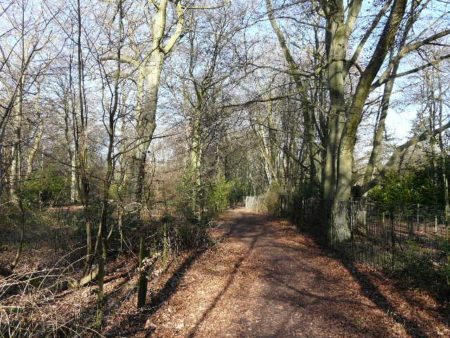
Looking back along the path to Dunsmore
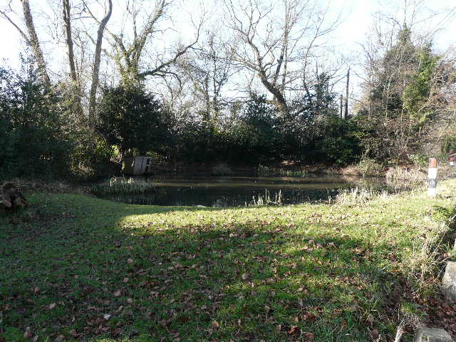
Pond in Dunsmore
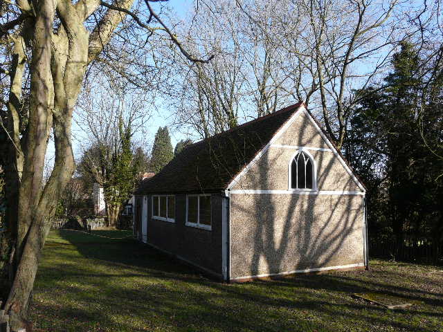
Small chapel in Dunsmore
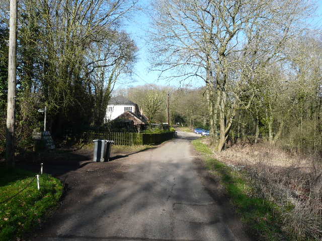
I continued straight on through Dunsmore, passing the pond on my right and the chapel on my left. I was now on a byway that went south out of the hamlet. Just after passing an isolated cottage on the right, I turned right and followed a bridleway steeply downhill through more woodland into a valley. The path continued up the other side of the valley, eventually reaching the attractive hamlet of Little Hampden, in its isolated position at the end of a single lane.
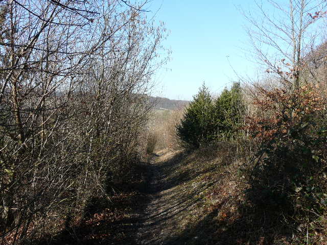
The path descending between Dunsmore and Little Hampden
The bridleway rising uphill towards Little Hampden
Little Hampden
At Little Hampden I joined the route of the Chiltern Way (for a few yards I was also sharing the route of the South Bucks Way). I followed the lane left for about a quarter of a mile, then turned right along a track or drive. This led into and through a wood, where I turned right at a path junction to almost immediately reach a field. I took the permissive path that goes left here and then right in the field corner, before a footpath went left through a narrow wood (part of Hampdenleaf Wood). On the far side was a seat carved from a large tree trunk, and a fine view ahead over the valley of Hampden Bottom.
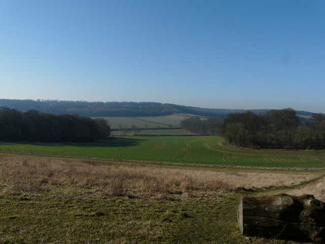
Hampden Bottom
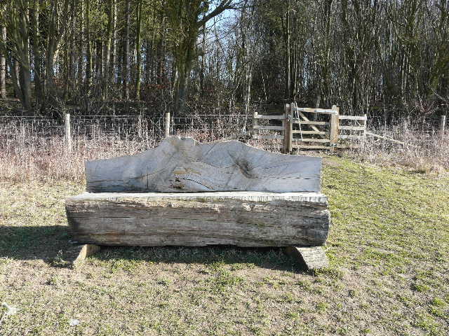
The carved seat
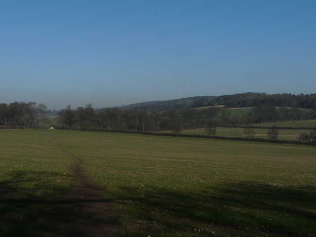
My route now took me across two grassy fields separated by a wooden fence, and then downhill through a long narrow belt of trees to reach the road running through Hampden Bottom. On the other side, I followed a path going half-left across a large arable field to reach the edge of Lady Hampden's Wood.
Looking back along the path down into Hampden Bottom
Looking back into Hampden Bottom from the edge of Lady Hampden's Wood