Pete's Walks - Hambleden, Bovingdon Green, Frieth (page 2 of 3)
From Copy Farm, a lane led northwards to Copy Green (not much more than a name on the map, about a quarter of a mile from Copy Farm) where I turned left onto a bridleway, which was soon heading quite steeply downhill with tall hedges either side. I took great care here, as the descent was slippery in these muddy conditions - after the recent snow and rain, all the paths today were very muddy and this was possibly the muddiest walk I've done since starting this web site. At the bottom of the slope, I turned right on a path heading northwest through Shillingridge Wood. It started to rain again now (the skies had become ominously grey so I was expecting it), but it had more or less stopped by the time I reached the far side of the wood. A bridleway continued on to pass Bluey's Farm. When the bridleway started to go uphill I took a path on the left. This passed through a long narrow pasture at the end of which I reached Moor Wood.
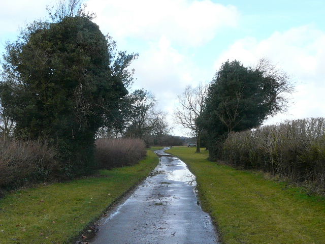
The lane from Copy Farm to Copy Green
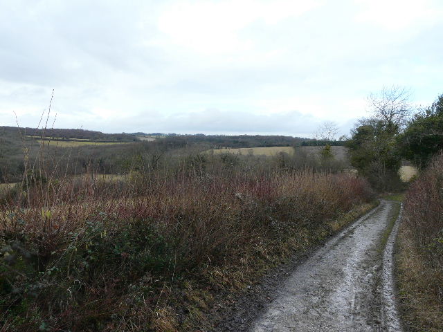
The bridleway from Copy Green - this shot was taken where it briefly kinks northwards, so is looking in the direction I would take subsequently. Just round the corner, the path became very steep and very muddy.
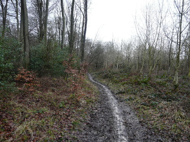
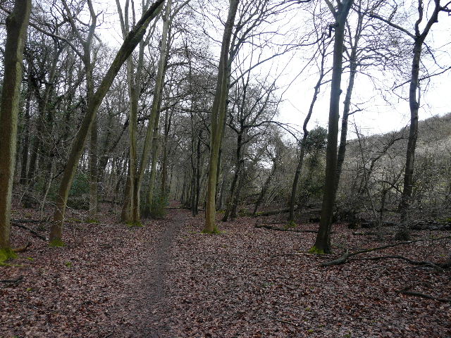
The path through Shillingridge Wood
The end of the path through Shillingridge Wood
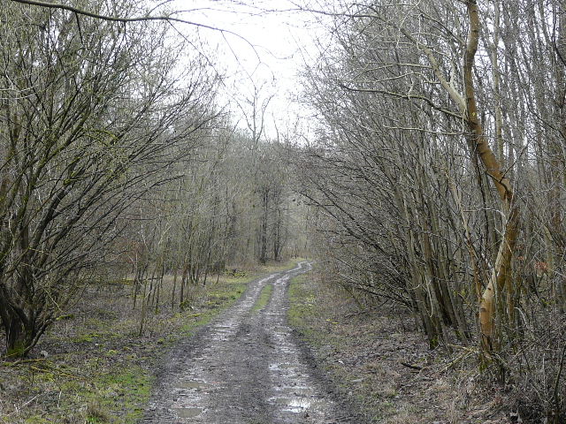
The path to Bluey's Farm
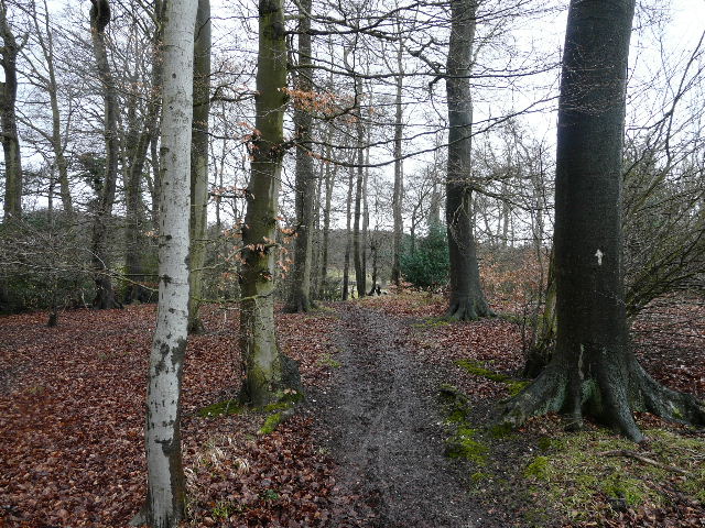
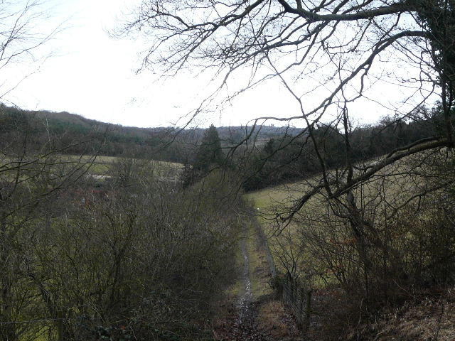
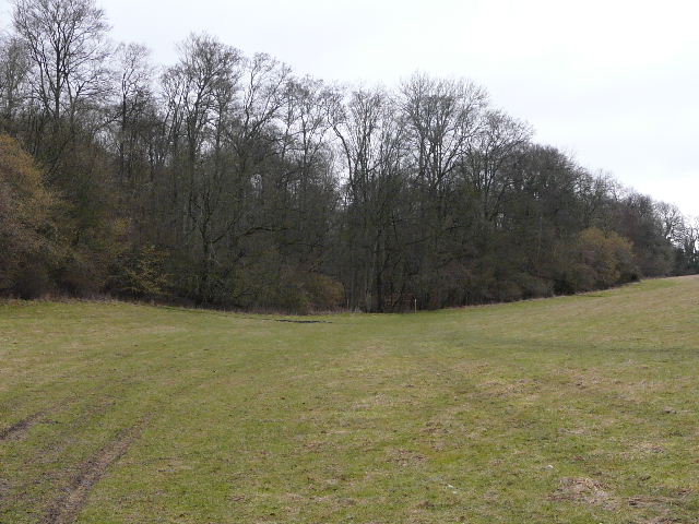
Approaching Moor Wood
As I followed the path northwards, just inside the edge of the very large wood, there was a steep hillside covered in scrub a short distance to my right. After about a quarter of a mile I turned left on to a wide track through the trees. From here to Adam's Wood (near Skirmett) I would be walking a route I'd done once before in the opposite direction (part of an exploratory walk when I was researching my Chiltern Chain Walk). After a while I emerged from the wood and crossed the edge of an empty meadow or pasture, before re-entering the trees, now in the adjoining Bottom Wood.
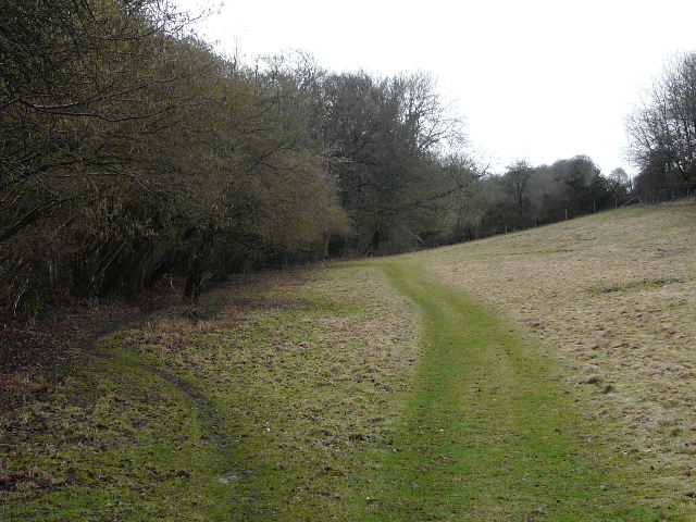
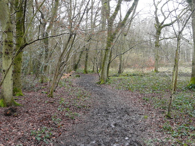
The path through Moor Wood - note the steep scrub-covered hillside to the right
Track through Moor Wood, heading east
Short section between Moor Wood and Bottom Wood
Beyond Bottom Wood, the path continued beside a hedge-row, switching sides at one point. A small area of trees was marked as the remains of a chapel on the map, but there was nothing really left as far as I could see. The path continued across a large pasture - there were four mature trees here, the remains of grubbed up hedgerows I think. On the far side I reached some woods on the edge of the settlement of Moor Common, where I soon turned sharply left, heading almost south as I made my way through Moorend Common, partly wood and partly a more open area of common.
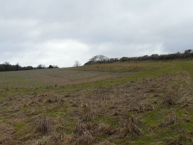
The path beyond Bottom Wood
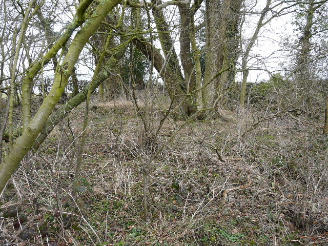
This site is marked as 'Chapel, (rems of)' on the map, but there were no visible walls as far as I could tell
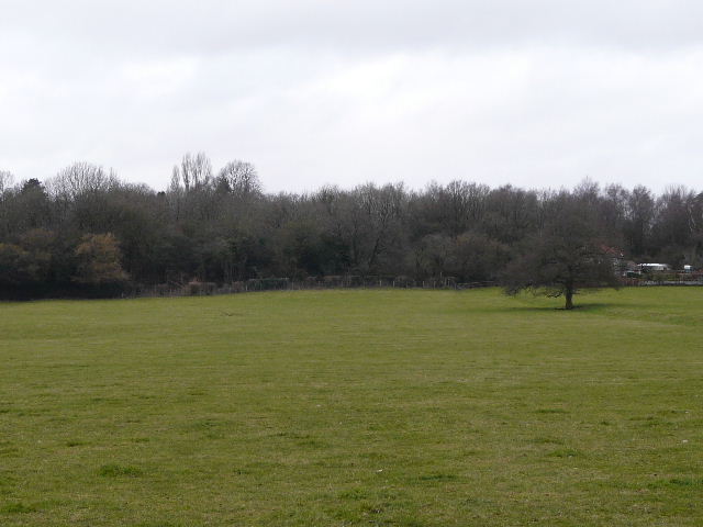
Path approaching Moor Common
Path through Moorend Common
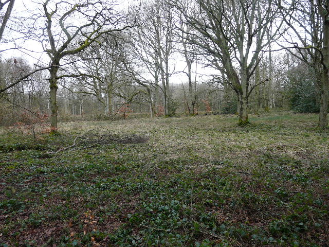
Moorend Common
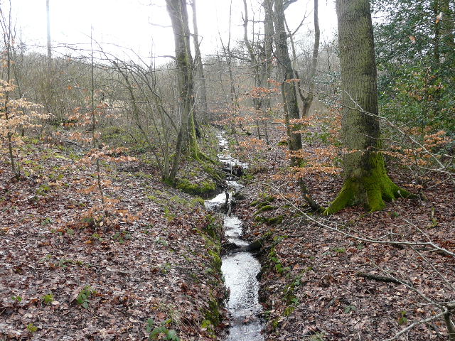
Tiny stream on Moorend Common, a bit of a rarity in the Chilterns!