Pete's Walks - Kensworth to Ivinghoe Beacon (part 3)
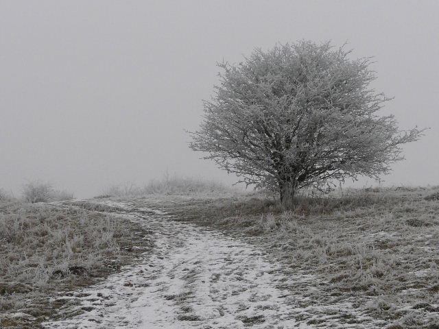
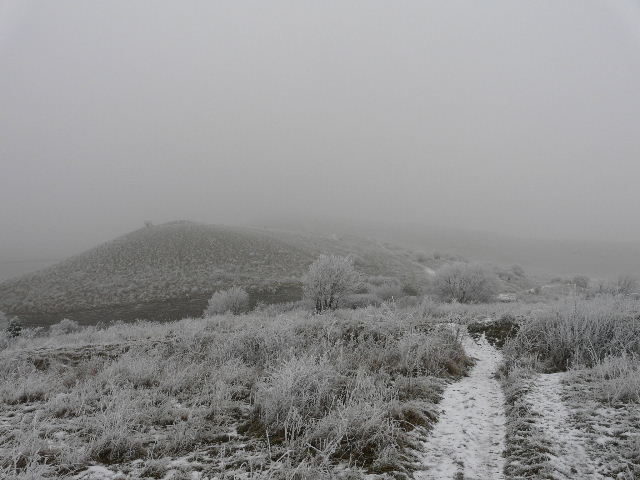
Just beyond a cattle grid, where I entered the Ivinghoe Hills nature reserve (still part of the National Trust’s Ashridge estate), I took another path forking left. I was now out of the tall trees of Ashridge and entering an area of scrubby bushes. I soon reached the top of Steps Hill - there are two parallel paths to Ivinghoe Beacon from here, and I chose the left-hand one (which is the route the Ridgeway takes). I went over a stile and turned sharply right, crossing over the top of the hill. Visibility was very limited here, and I could only just see the Ridgeway path descending in the opposite direction. I could also only just see down into the steep valley of Incombe Hole, and across the top of the end of that valley to the steep slope beyond. Incredibly, in these gloomy conditions there were two people standing on the top of the hill with Paragliders! One seemed to be having a bit of difficulty controlling his, and I had to take a detour from the path to get round him (I wouldn’t normally leave this path, as there are warning signs here about the dangers of unidentified metal objects left over from military training during World War II).
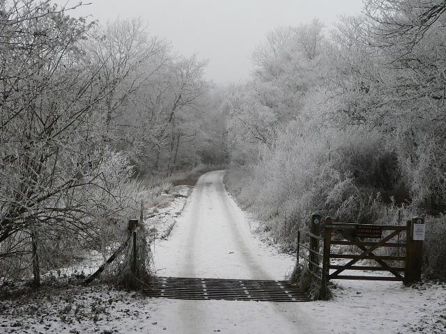
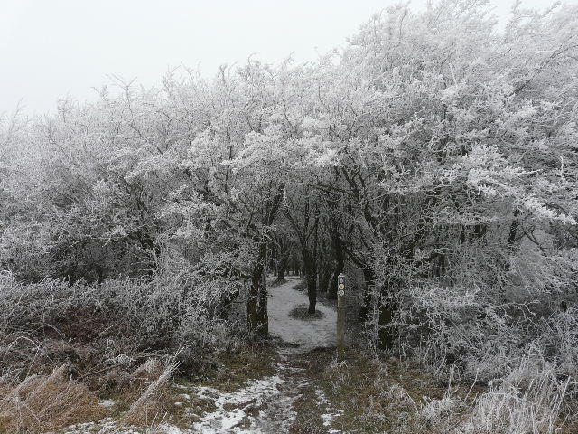
The start of the Ivinghoe Hills nature reserve
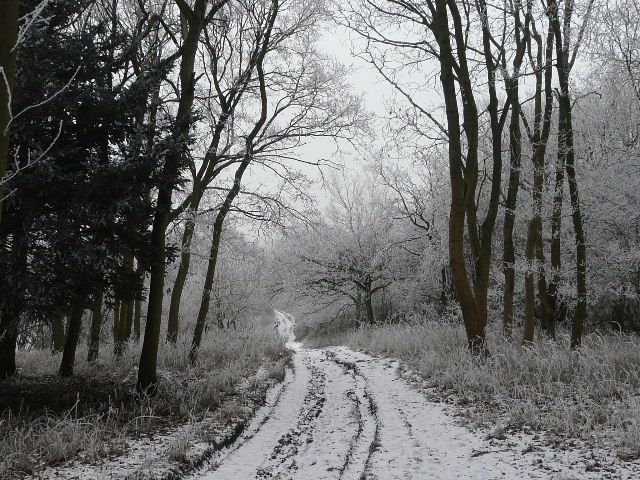
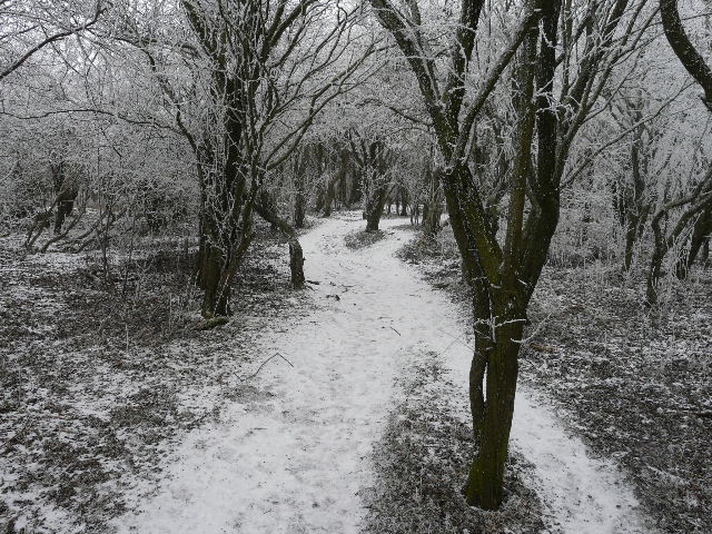
The path through the Ivinghoe Hills nature reserve
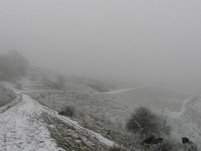
From the stile, looking along the route of the Ridgeway descending from Steps Hill
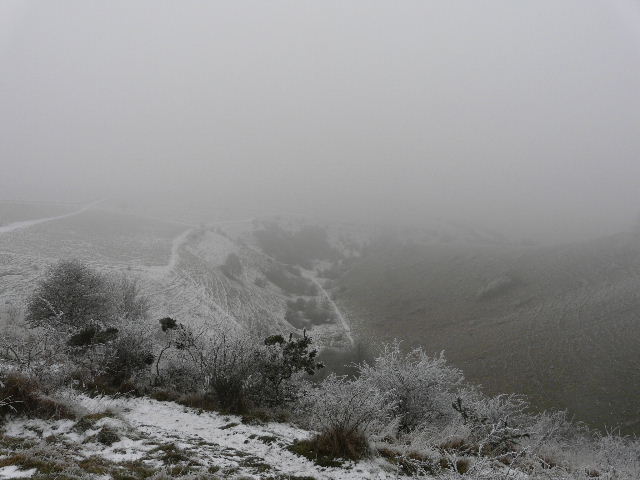
From the stile, looking down into Incombe Hole
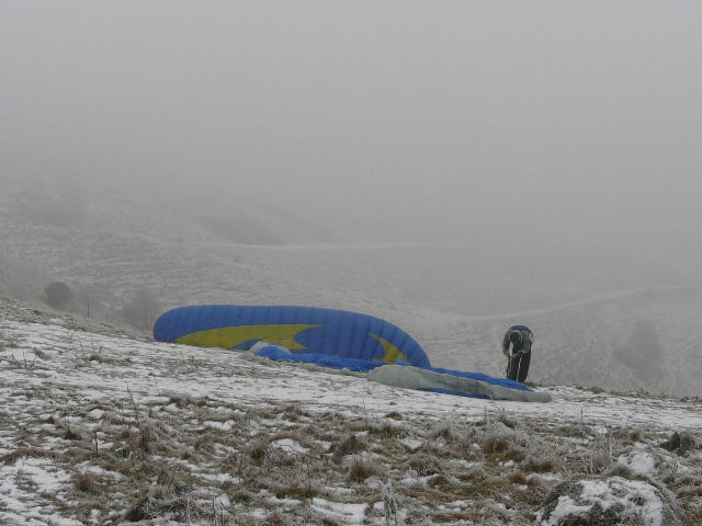
Paragliders on Steps Hill - if nothing else, this photo shows that I wasn't shooting in black-and-white!
The path entered a small wood, not the grand trees of Ashridge but more a thicket of blackthorn and similar bushes. It then descended slightly by a fence, then turned right through a kissing gate. I was now in an area of chalk downland, the grass here being speckled with wildflowers in the summer months. Now everything was white, against the grey background of the sky and fog. The scattered bushes all had a thick covering of hoar frost. I followed the path as it gradually descended to reach the road at a hairpin bend.
The path on Steps Hill entering the small wood
The path through the small wood on Steps Hill
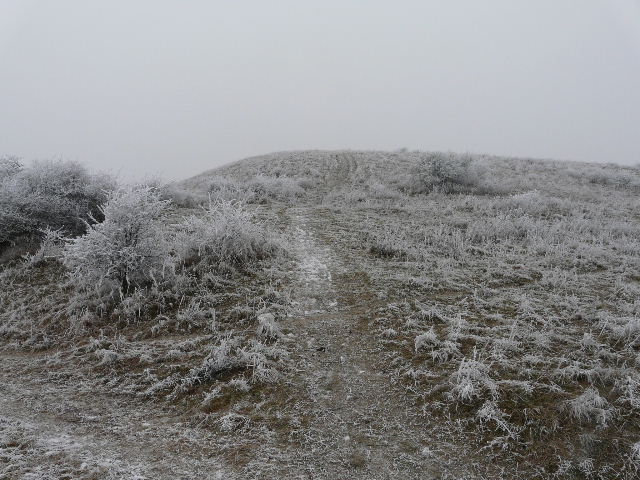
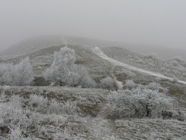
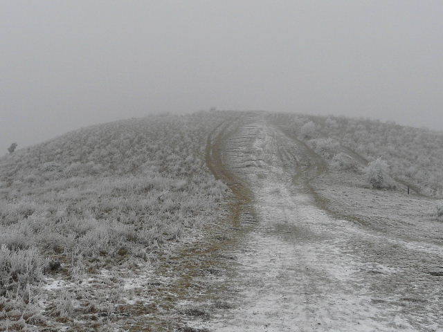
The path continuing towards Ivinghoe Beacon
Wintry scene as the path continues towards Ivinghoe Beacon
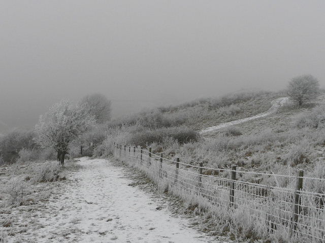
The path approaching the road near Ivinghoe Beacon
I crossed over, and went half-left up the first of two subsidiary ‘bumps’ that come before Ivinghoe Beacon itself. At the top (where there is a tumulus or ancient burial mound) I turned right, heading gently down and towards the smaller of the two ‘bumps’. I saw another Redwing here, and after going over the almost imperceptible second ‘bump’ I saw a pair of Goldfinches, their bright colours really standing out in the monochrome setting. I then steadily plodded up the steep but short slope to reach the top of Ivinghoe Beacon. On a clear day you can see for forty miles - today visibility was down to less than half a mile.
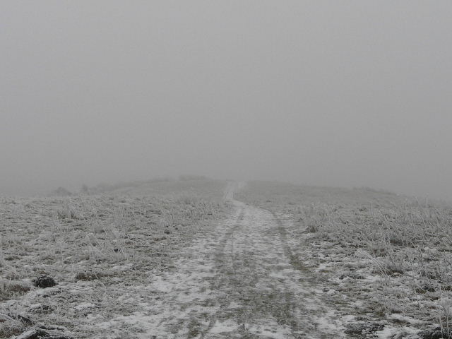
The path up the first 'bump'
Approaching the second, smaller, 'bump'
The path to the top of Ivinghoe Beacon
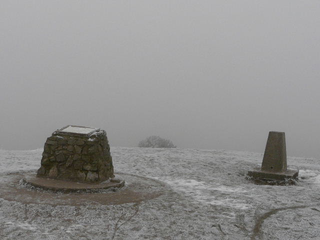
The top of Ivinghoe Beacon
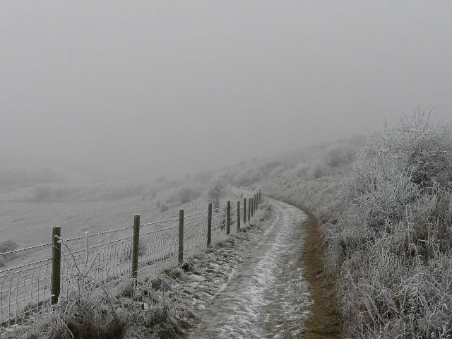
I usually turn and retrace my steps for a short distance here, but today I set off along the narrow ridge towards Gallows Hill. But I soon turned sharply right, following a path beside a fence on my left, gradually descending around the flank of the Beacon. This path too was icy, and I felt my feet slip here at one point but fortunately I maintained my balance. I passed to the left of the two ‘bumps’, and then turned left along a path following a fence on my right - this was the start of the Icknield Way long-distance path, which I’d now be following for several miles until I reached Whipsnade.
Start of the path towards Gallows Hill
The path back round the side of Ivinghoe Beacon