Pete's Walks - Lilley to Barton-le-Clay walk (part 2)
When I reached the end of the valley on my left, the path descended quite steeply and left the reserve at a gate. I followed a short field-side path going right that soon led me to the end of Church Lane, Barton-le-Clay, which I followed, soon passing the village church. I crossed over a road (I'd re-cross it at Pegsdon later) and went down a residential street of mainly modern houses almost opposite (a few yards right). After a quarter of a mile or so, I took a footpath on the right that soon had me back out into the countryside.
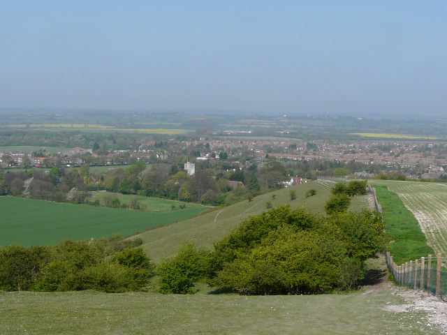
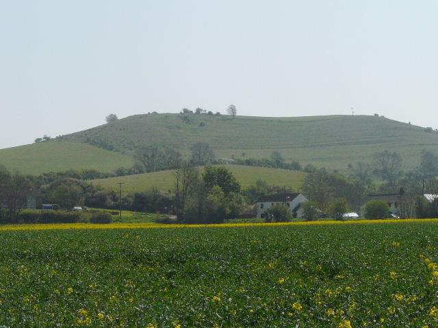
Barton Hills, overlooking Barton-le-Clay
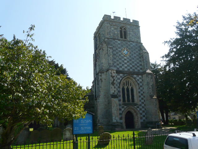
Barton church
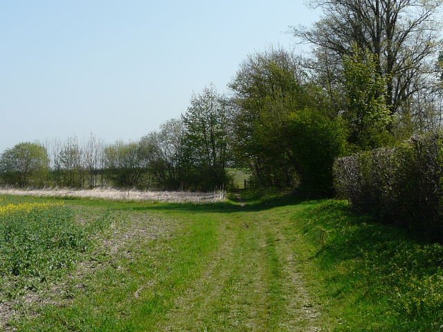
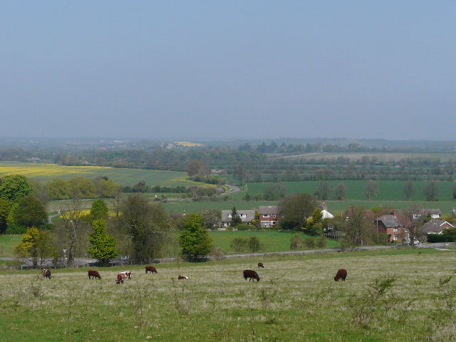
The path started as an alley, then turned left on reaching a field. It soon turned right and followed a hedge on the left at first, continuing through arable fields when the hedge ended. I passed several dog walkers along here, most of whom had a least one Black Labrador. To my left, the scenery was agricultural and fairly flat, though I could spot Shillington church on top of a hill. Beyond the field on my right was the road I'd crossed in Barton, and beyond that a low ridge of hills running from Barton Hills to Deacon Hill, some distance ahead of me. Soon I had a hedge on my right, and again there were some fine Cowslips here. The path crossed a footbridge over one of several streams flowing from the foot of the chalk hills to my right, and then went half-right across a cabbage field to reach the edge of the village of Hexton.
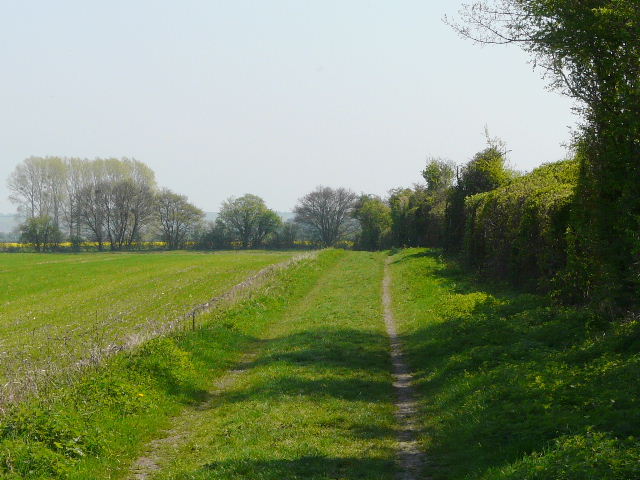
Path between Barton and Hexton
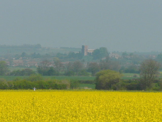
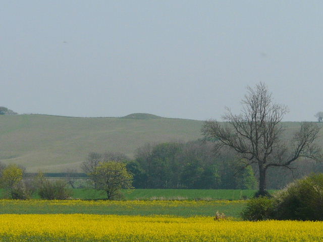
Distant view of Shillington church, which I passed on the John Bunyan Trail
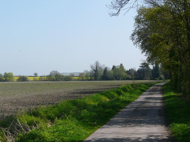
Path just before Hexton
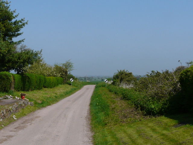
I went a short distance along a lane to my right. At a junction by the village pub I turned left, soon leaving the small village behind. Within a short distance I took a track on the right, the access drive to a former mill - I passed another, larger, group of walkers coming the other way. I was again walking parallel to the ridge of hills over to my right. Beyond the mill, the path continued beside a field. At the next field corner I turned right, leaving the route of the John Bunyan Trail (after several miles) as it headed north towards Shillington. The new path soon lead to some houses in Pegsdon, continuing as a drive for a short distance to a road. Here I turned right, and soon reached the main road I'd crossed in Barton earlier. The village was mainly to my left, and as I crossed the road I saw a Red Kite over the village. I remembered how delighted I'd been to see one near here when I did my second Chiltern Way walk a couple of years ago.
Leaving Hexton
The drive to the mill, between Hexton and Pegsdon
Distant view of Knocking Hoe burial mound, near Pegsdon
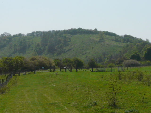
Deacon Hill, beyond Pegsdon - the lines on the hill are mediaeval 'strip lynchets', terraces cut in the steeply sloped ground to enable cultivation.
Across the road, I entered the Pegsdon Hills nature reserve, and started on the long steady climb uphill to the top of Pegsdon Hill, about half a mile away. The initial section of the reserve was being grazed by a mixed herd of cattle. I plodded steadily on uphill across the large grass pasture - it wasn't steep but I'm very unfit, and I paused once or twice to admire the views back. Beyond a gate, there were bushes on my left, with the deep and steep cleft of Barn Hole beyond. I heard and then saw my first Common Whitethroat of the year here.
Looking back from the start of the climb to Pegsdon Hill
The path up Pegsdon Hill - the path curves right, just out of shot, then back left
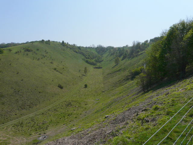
Barn Hole