Pete's Walks - Kensworth to Little Gaddesden (part 1)
If you are considering walking this route yourself, please see my disclaimer. You may also like to see these notes about the maps and GPX files.
Google map of the walkDownload GPX file of the walk
This is a circular walk of about 14.5 miles, from Kensworth through Studham Common, Gaddesden Row, Great Gaddesden and Nettleden to Little Gaddesden, returning via Hudnall, Studham and Whipsnade. It is my favourite local long walk, and I am SO pleased to finally document it on my web site! Twice before I have set out with the intention to photograph the route and put it on the web site, only for all the photos to turn out uniformly grey and drab due to the overcast conditions. The harsh shadows caused by the very bright sunshine on this walk were not ideal for photography, but I hope the shots I managed to take at least partly do justice to what I think is a very good walk.
I have done this walk many times (originally I used to walk it in the opposite, anti-clockwise, direction). The photographs and text refer to when I did the walk on Saturday, 3rd January 2009. Note that Walk 2 of my Chiltern Chain Walk is basically a shortened version of this walk, starting and finishing at Studham Common.
It was a cold morning as I set off just after 10am, with still a lot of frost on the ground, some of which would remain all day. But the skies were clear blue and would remain so all morning - only in the afternoon would some small clouds appear. I started off along the Whipsnade Road - the wide verge on the left was in the shadow of a hedge and was particularly frosty. I turned left through a rather ornate metal farm gate, and followed a path through a large pasture and then through a small meadow to reach Dovehouse Lane. Here I turned right - the lane is bordered by tall hedges either side that overhang, almost forming a green tunnel.
The start of the walk, heading out of Kensworth along the Whipsnade Road
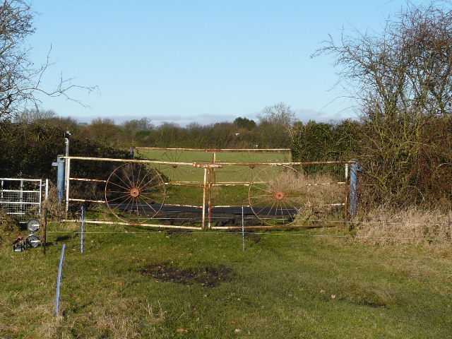
Rather fancy farm gates, on either side of the Whipsnade Road. Photo taken from the start of the path to Dovehouse Lane.
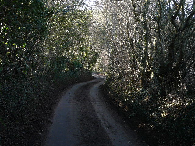
Dovehouse Lane
At the end of the lane, I went right for a few yards along Buckwood Lane, before taking a path on the far side. Within a few yards I went left at a path junction. The path led through trees and went uphill, soon with the garden fences of properties in Holywell on my right, and later an arable field on my left. Beyond the field was a small wood, and at a path junction I turned left and walked through the wood. The path then continued for several hundred yards across a large arable field, with views towards Studham Common over to my right. The path passed another small wood on the left and then a solitary tree before reaching Byslips Road, which connects Kensworth and Studham.
I turned left along the road for a hundred yards or so, then took a path on the right. This ran just inside the edge of Byslips Wood - at one point it squeezes between two tree trunks. On the far side of the wood I turned right, passing through the right edge of a small triangular area of trees and then continuing ahead on a bridleway between hedgerows (this is the continuation of Roe End Lane, a route I use on several of my local walks). I saw a Buzzard fly off here - I’d seen one here a few days ago, when I saw five of these large birds at four different points on a three-hour local walk. A lady jogger passed me as I walked along the bridleway (a good spot for lovely yellow Meadow Vetchling in the summer months).
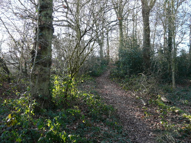
The path along the edge of Holywell
Looking back to the wood on the edge of Holywell, from the path to Byslips Road
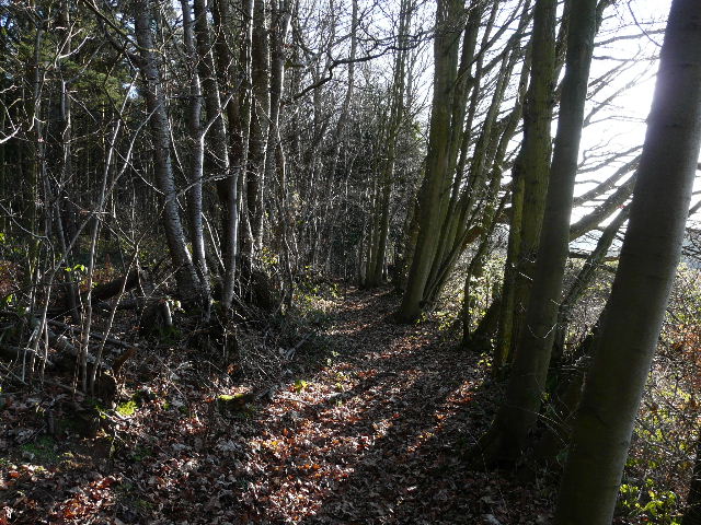
The path through Byslips Wood
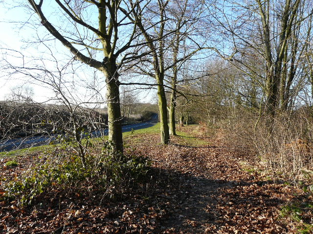
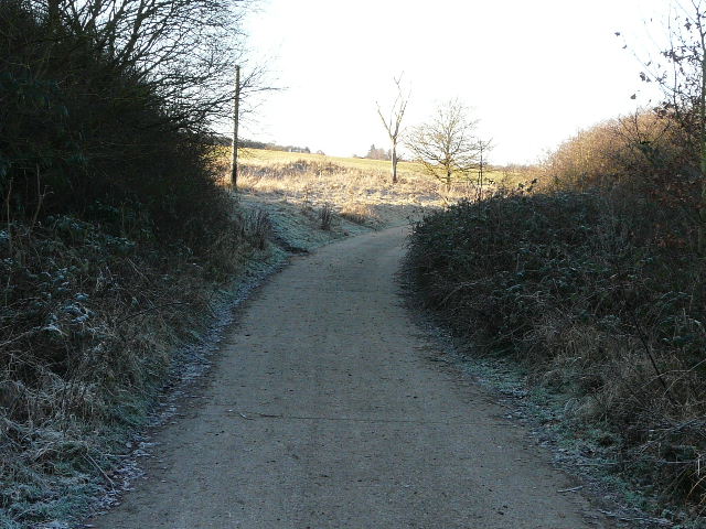
The bridleway soon descended into a shallow valley, with a waterworks beyond the hedge on my left. At the bottom of the valley the bridleway joined the cement drive to the waterworks, which I followed a few yards to the right before turning left, going uphill along the edge of Studham Common.
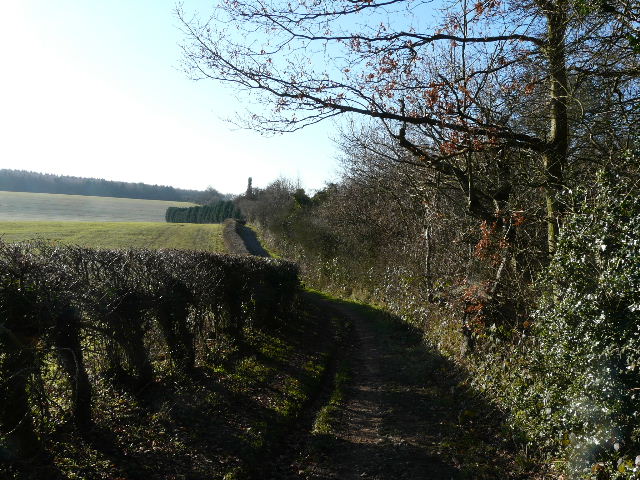
The bridleway to Studham Common
The bridleway approaching Studham Common
The cement drive from the waterworks, on the edge of Studham Common.
It was particularly frosty in the shade at the bottom of the valley, the frost decreasing as I steadily went uphill. Near the top of the hill I reached a corner of the common, where I went through a hedge gap and continued on, now with Great Bradwin’s Wood on my left and another arable field on my right. At the end of the wood, I went through a gate and followed a right-hand fence through an empty paddock, then followed a gravel drive to reach a road opposite a sports ground and a Scout hut.
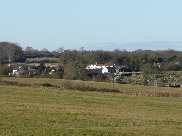
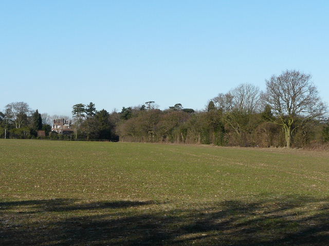
Looking across Studham Common to the centre of the village
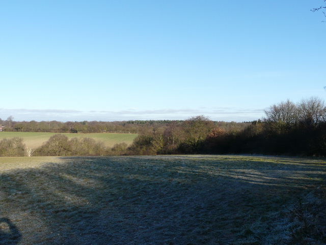
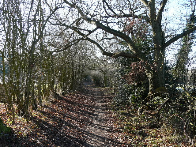
Looking back at the path along the edge of Studham Common
The path near the end of Great Bradwin's Wood
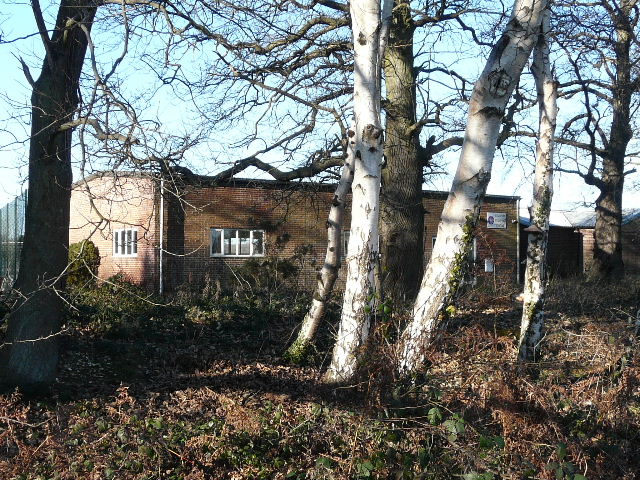
The Scout Hut at Studham. I was a cub there in the 1960's!
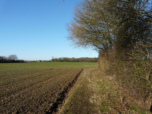
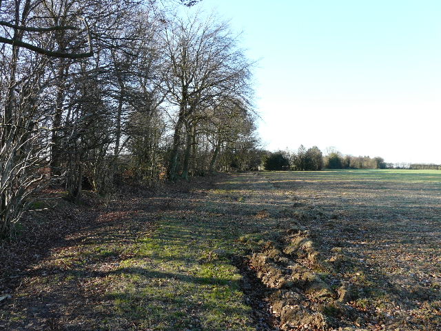
I turned left, soon reaching a junction where I took the right fork. The road was now called Pedley Hill - it gradually descends for over a mile to reach the road running through the Gade Valley, near Hudnall which I would reach later on. But I only followed the road for a few hundred yards, before turning left onto a field path. I followed a mature hedgerow on my left, beside a large arable field. I didn’t see any today, but I have seen Buzzards and Red Kites here in the past. In the field corner the path turned right. A short distance ahead of me the hedge broadened out, and where it did so I spotted a small group of Fallow Deer.
Looking back along the path from Pedley Hill
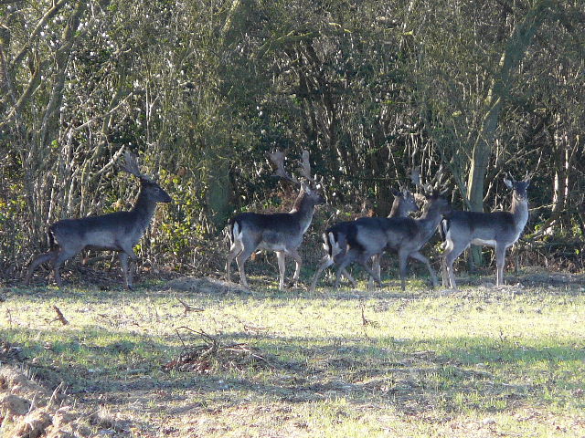
Fallow Deer, along the path from Pedley Hill