Pete's Walks - Studham Common and Redbourn (part 2)
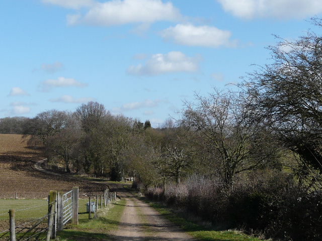
I turned right and followed the lane carefully as it entered the small hamlet of Briden's Camp (no, sorry, I've not been able to find the origins of this intriguing name!). I passed the pub and a few cottages on my left, and after the last building took a path on the left. This soon turned half right, and there were now some attractive views to my right, across the Gade Valley and towards Nettleden in a side valley on the far side. The path passed a bit of woodland and turned left, downhill between the wood and a small young plantation.
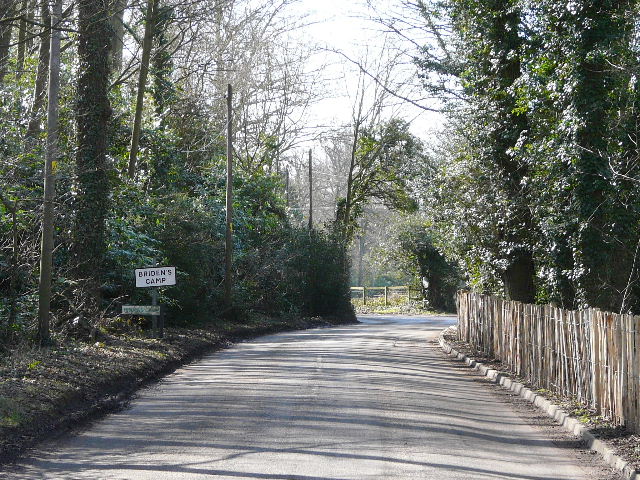
The lane entering Briden's Camp ( the lower of the two signs on the left omits the apostrophe in the name)
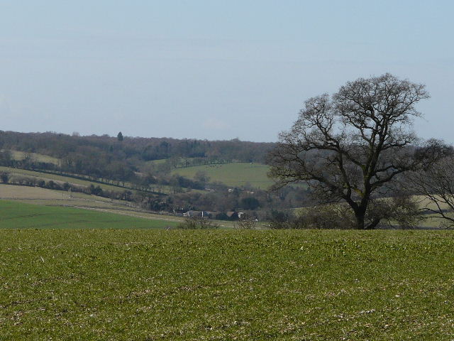
Looking over the Gade Valley towards Nettleden, from near Briden's Camp
Looking back to Briden's Camp
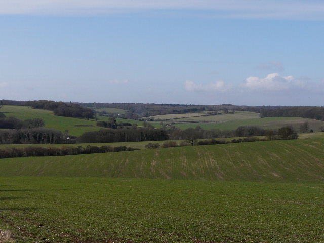
At the bottom of the small dip, the path turned right alongside a hedge on my right (the map showed the path on the other side of the hedge, but the waymarks showed the path on this side and there was a clear path here). There was a nice view ahead into the Gade Valley heading towards Hemel Hempstead, but it was difficult to photograph as I was looking into the sun. The path ran gently downhill for several hundred yards, to reach a path junction in the next field corner.
The path descending just after Briden's Camp
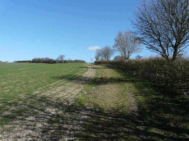
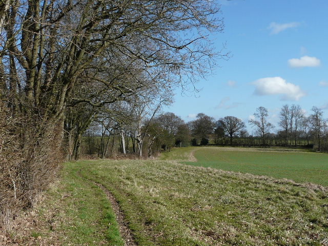
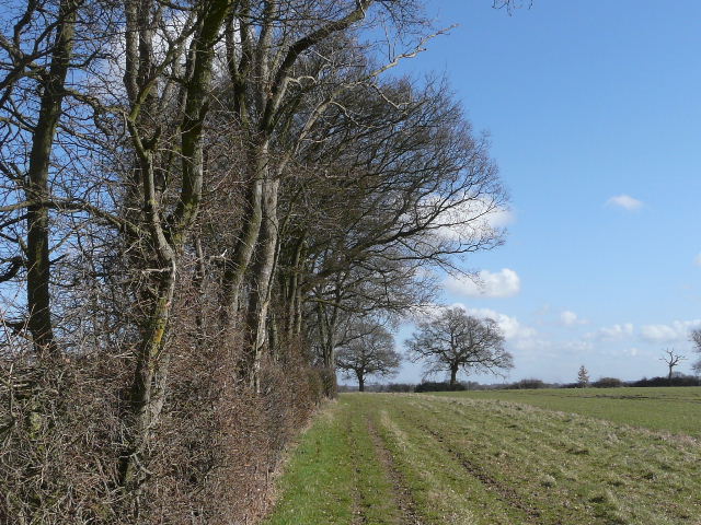
Here I turned left, following a bridleway uphill for some distance beside a neatly-trimmed hedge on my right. There were increasingly fine views looking back, again across the Gade Valley and towards Nettleden, so I used this as an excuse to stop a couple of times on the long steady climb. There was a short awkward muddy section near the top of the hill, then the bridleway switched to the right of the hedgerow which was now a fine line of mature trees. I found this section particularly pleasant, following the hedgerow with nice views over arable fields ahead and to my right. I passed a pond in the hedge, and spotted a black fungus on an oak log (I later had the fungus identified on a website as probably King Alfred's Cakes, also known as Cramp Balls).
The bridleway ascending (as usual a bit steeper than it looks!)
From near the top of the hill, looking back towards the Gade Valley and Nettleden
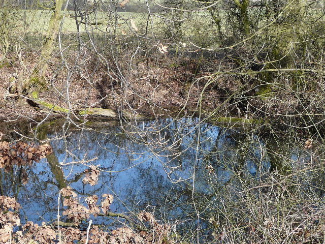
A pond in the hedgerow beside the bridleway
The long bridleway - I would soon turn right, and follow the hedge that turns a corner in the middle distance
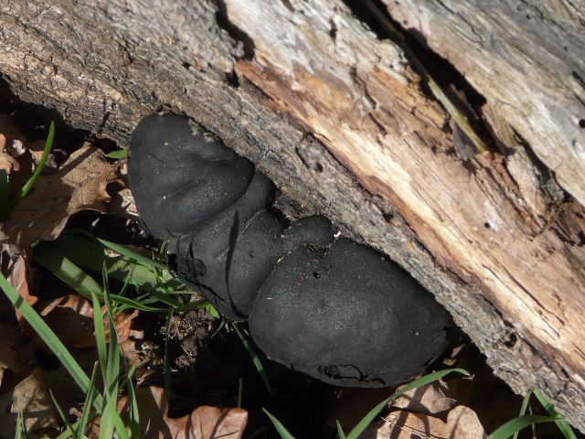
Fungus on an oak log beside the bridleway - I think its one known as King Alfred's Cakes (also known as Cramp Balls)
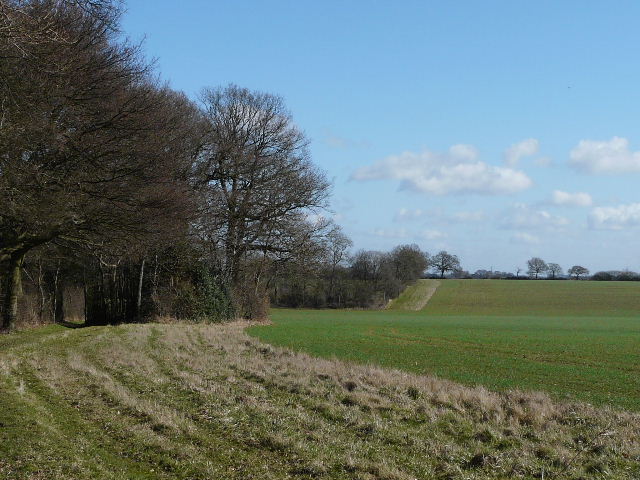
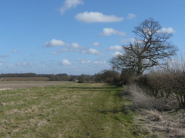
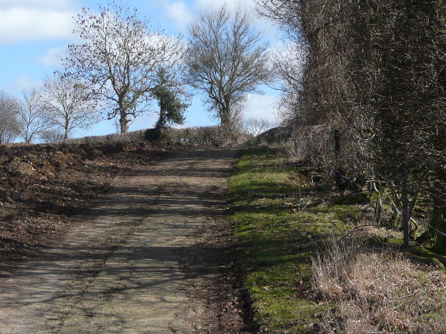
The bridleway followed the hedge slightly downhill, then I turned right on another bridleway, again following a mature hedge on my left. The hedge and bridleway soon turned left, heading uphill, then turned right and left again by a field corner. I passed a lady walking a dog as the rather muddy path led me to a lane, with the houses of Cupid Green on the edge of Hemel Hempstead visible a short distance to my right.
The long bridleway - you can see where I would turn right along the next hedgerow
The next bridleway reaching the top of a slight hill
The bridleway approaching the lane to Cupid Green
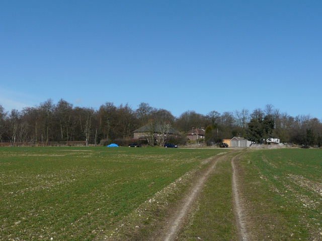
I crossed the lane and followed a farm track opposite, which went down into a slight dip and up the other side, passing a small copse and an old chalk pit on my right.
The farm track beyond the lane
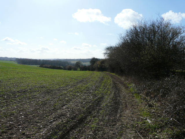
The farm track nearing the top of a slight rise