Pete's Walks - Kensworth to Totternhoe (part 2)
After a short distance I turned left along a path enclosed by fences, with the entrance to the cement works on my left. The path turned right and then left as it went round two sides of a grassy field. At the end of the path I turned left on a chalky track, winding its way steadily up the slope of Totternhoe Knolls. At a bend to the left, I went straight ahead on a steep path that very quickly took me to the top of the hill (actually the 'motte' of a motte and bailey castle that once stood here). As with Dunstable Downs, the views here were very disappointing due to the grey and murky weather conditions today.
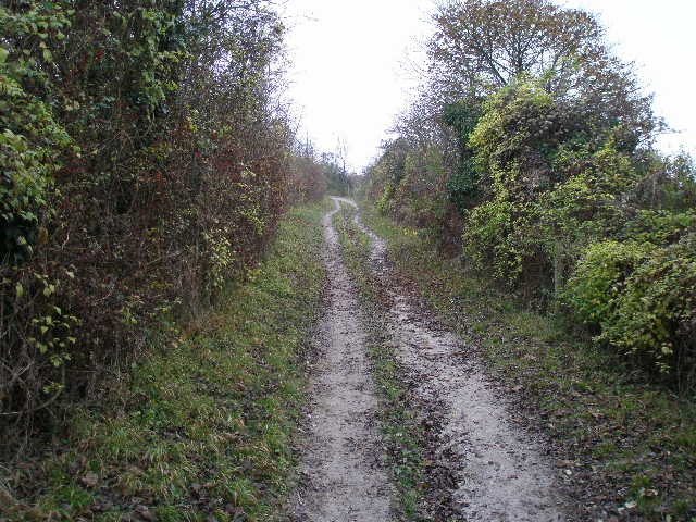
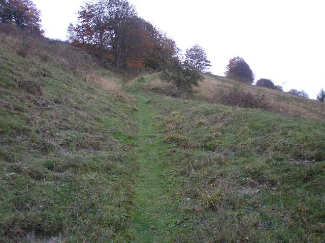
The track leading up Totternhoe Knolls
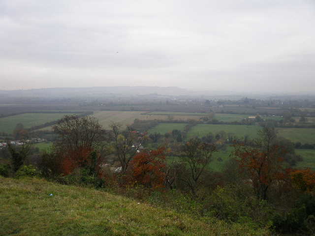
Very murky view from Totternhoe Knolls towards Ivinghoe Beacon
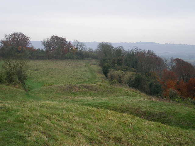
The top of Totternhoe Knolls - I'm standing on the 'motte' of a 'motte and bailey' castle, looking over the 'bailey'. Dunstable Downs are just about visible in the distance.
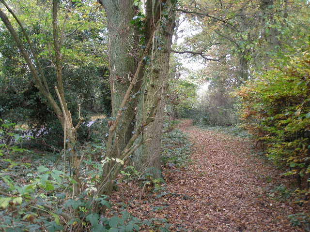
I followed the path over the top of the Knolls, and then continued along a chalky track. After maybe half a mile I turned right (just before the track I was on started going uphill), passing the Totternhoe Knolls car park on my left and on to the main road through Totternhoe. I turned left towards what I've always thought of as the centre of the village, but which the OS map now tells me is Totternhoe Church End (so that's two Church Ends on this walk!).
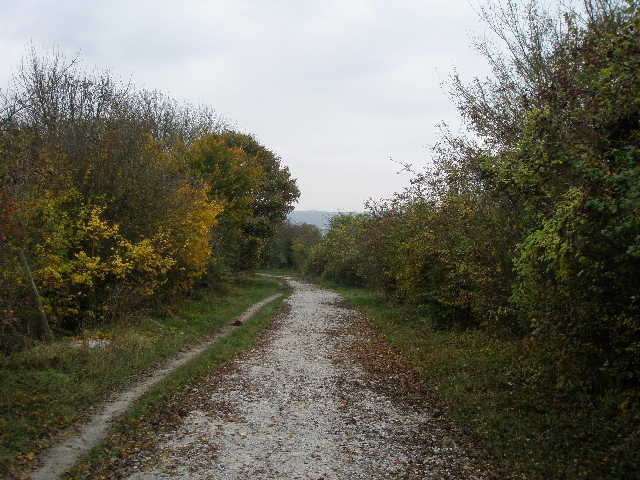
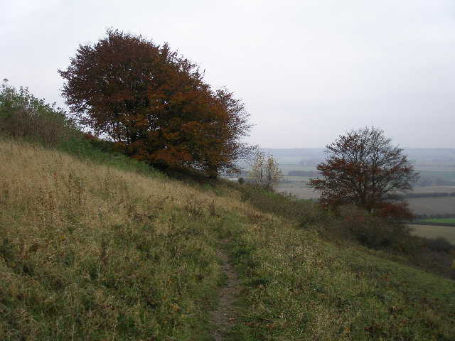
The path from the Knolls to Totternhoe
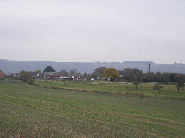
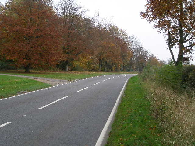
Looking towards the Downs from the main road through Totternhoe
Looking towards the burial mounds of Five Knolls from Totternhoe
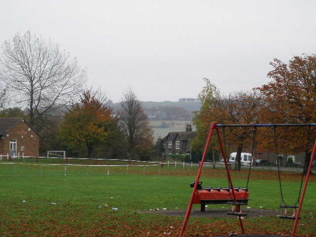
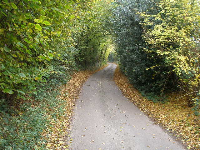
I took the first turning on the right, opposite a playing field, then took the second turning on the left, Wellhead Road. I soon left the houses of Totternhoe behind, and followed the road with a pleasant view ahead of the Downs, from Five Knolls to my left as far as the White Lion at Whipsnade Zoo to my right. Where Wellhead Road met the main road along the foot of the Downs, I crossed over and continued towards the Downs, on a path beside the London Gliding Club - today there were just a couple of gliders in the air, crossing backwards and forwards in front of me as I approached the Downs.
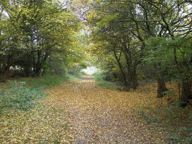
The path beside the Gliding Club, heading back to the Downs
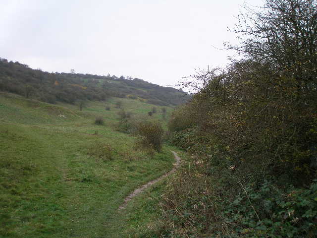
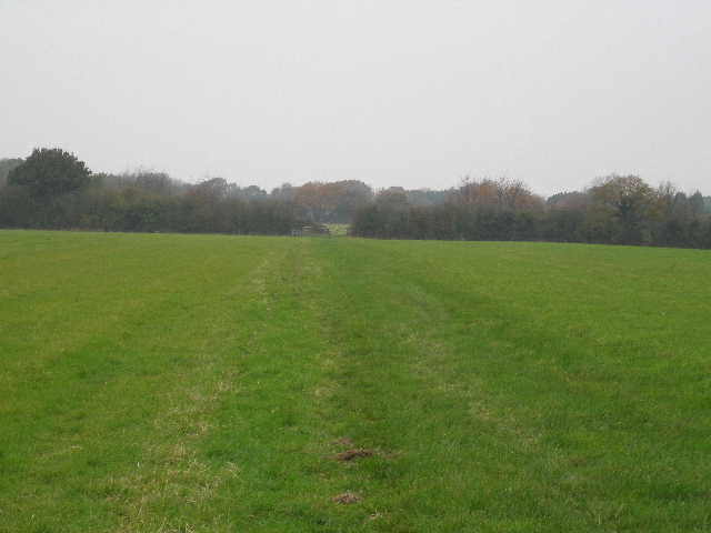
On reaching a gate at the end of this path, I turned right and followed the path along the foot of the Downs, initially with the Gliding Club still to my right. Somewhere along here the Downs became Whipsnade Downs rather than Dunstable Downs. I went straight on at a couple of gates, then after about a mile (with paddocks to my right and by a solitary tree) I took a path going a few yards left, then turned right onto another path that was soon rising quite steeply up Bison Hill. Soon after crossing another path in a sunken lane [UPDATE 28/01/2025 - at this path crossroads, just continue ahead along the bottom of the drovers' way, the path going steeply up to the right of it is now blocked by thorny bushes], this path levelled out and traversed round the hillside for some distance (incidentally, the hill gets its name from the huge paddock on the far side of the road where the bison of Whipsnade Zoo are kept).
The path along the foot of the Downs
The path rising up Bison Hill
The path near the top of Bison Hill
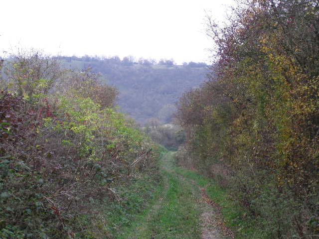
When the path went through a metal kissing gate, I went straight on for a few yards towards a car park, but then turned left at a path junction. I stopped near here to eat my sandwiches (I watched an aerial battle between a gull and a jackdaw) before continuing on down a hedge-lined bridleway towards Whipsnade. Immediately after passing a bungalow on the left, I turned left and followed a path uphill through a pasture that usually has Jacob's sheep in it to reach Whipsnade Tree Cathedral. I went straight on to reach the entrance/exit, then continued on to reach the road through Whipsnade.
The path from Bison Hill to Whipsnade
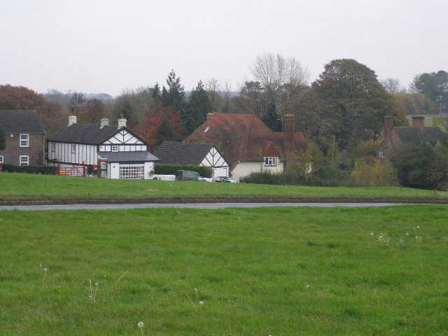
Whipsnade
I crossed the road and went half-left across part of the large green in Whipsnade to reach the church. I followed the path through the churchyard, passing right of the church, then continued straight on through a couple of fields to reach the Dunstable-Studham Road. Across this, I went a few yards left then turned right to follow a path beside a field to reach Holywell.
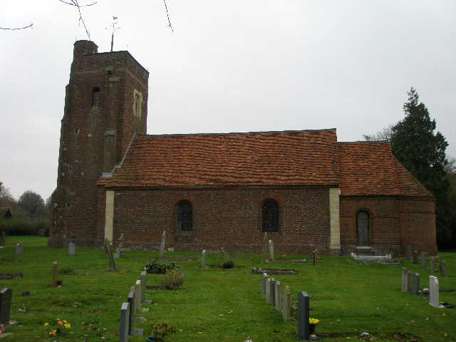
Whipsnade church
I turned left and went a short distance through Holywell before taking a path on the left, which soon turned right almost parallel to Buckwood Lane, the road from Whipsnade to Markyate. After a few hundred yards I went left (almost straight on) at a path junction and then joined the road. A few yards further on I turned left into Dovehouse Lane.
The path beside Buckwood Lane, on the edge of Holywell
Dovehouse Lane
I followed the lane a short distance uphill, then turned left (opposite an old farm, Shortgrove Manor) on a path across a couple of fields to reach the main road from Kensworth to Whipsnade. Here I turned right to return to my home in Kensworth.
Path from Dovehouse Lane to the Whipsnade Road
Entering Kensworth on the Whipsnade Road
I have done this walk several times since, but I now usually shorten it to about 11 miles by taking a quicker route back to Kensworth from Whipsnade church (I go on through the green downhill, then follow the road to a roundabout, before turning left through a car park and following a path through the wooded Whipsnade Heath and beside or across two fields to return to Kensworth, where I turn right to return to my starting point). I often do it in early summer as my 'flower walk', when I try to record as many species of wildflower as I can find.