Pete's Walks - Wendover Woods and Wigginton (part 2)
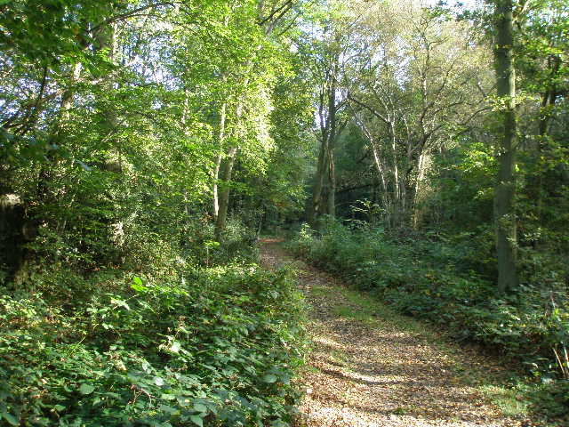
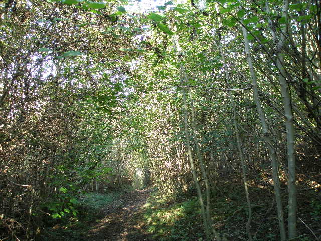
The Chiltern Way through High Scrubs Wood
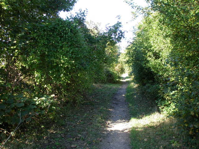
The path continued through High Scrubs Wood, then crossed a road and entered the smaller Wick Wood. Here Grim's Ditch was evident as a low bank amongst the beech trees.
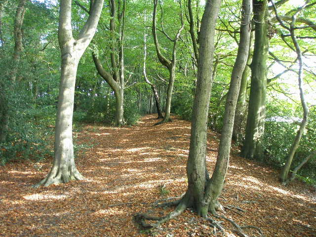
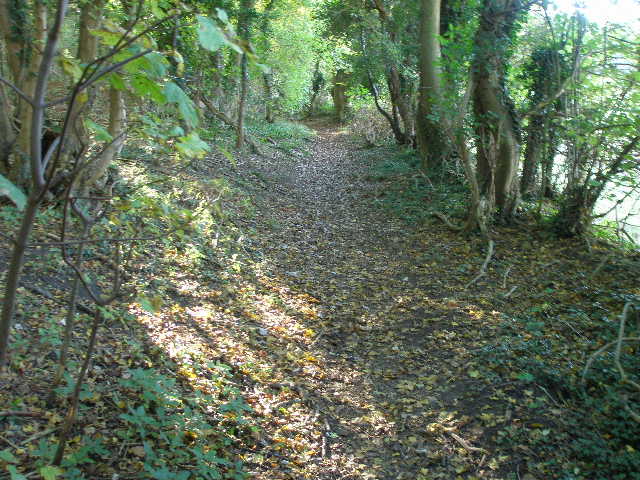
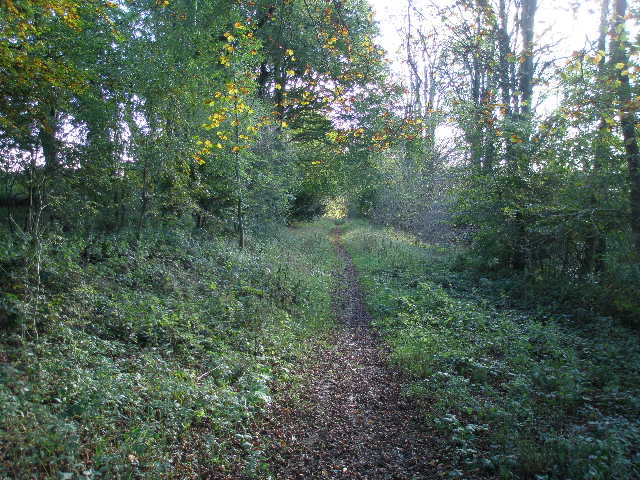
The path along Grim's Ditch in Wicks Wood
Beyond the wood, I continued along the Chiltern Way, still on the line of Grim's Ditch, generally in or alongside another belt of trees. I then passed a row of gorse bushes, the path then going a few yards right and then turning left, crossing a cattle pasture to reach a road on the edge of Wigginton. Here I turned left to go through the village.
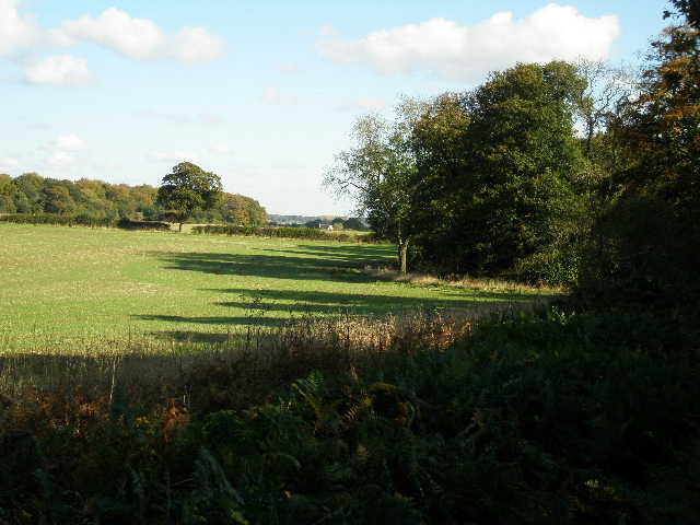
Looking ahead towards Wigginton
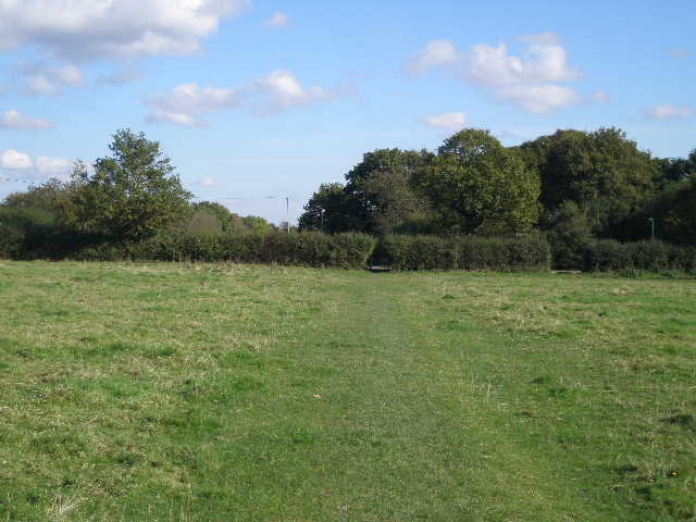
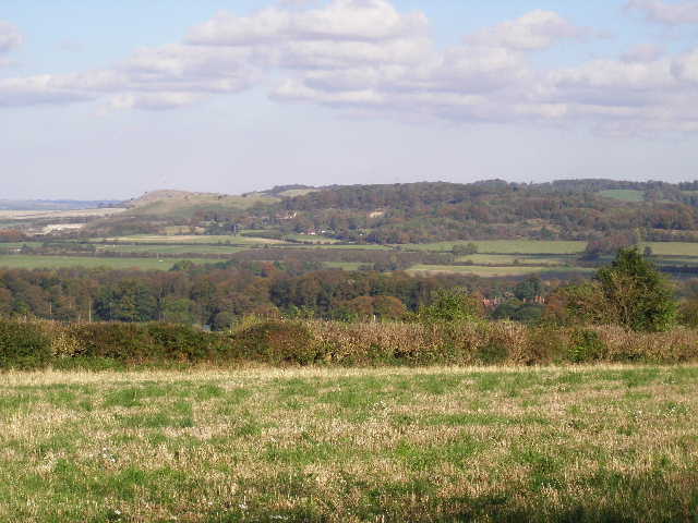
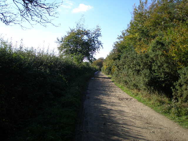
Crossing a cattle pasture to reach the road into Wigginton
I forked slightly left from the road to go through a car park by a playing field. I crossed a street and continued along the street opposite. At its end a path continued along the right edge of another playing field - I turned left in the corner and stopped on a bench to eat my lunch. I left the playing field at a gate in the next corner, and took the road heading straight away from the gate to reach the northern edge of the village, where there was a nice view towards Pitstone Hill and Ivinghoe Beacon.
View towards Pitstone Hill and Ivinghoe Beacon from the edge of Wigginton
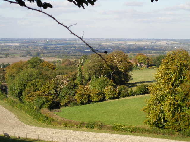
I turned left, passing in front of some cottages and entering the grounds of Tring Park (the grounds are now managed by the Woodland Trust). I soon turned left at a junction and walked along King Charles Ride, named after Charles II who was a visitor to Tring Park. There were occasionally good views northwards, over Tring, Tring Park and the Vale of Aylesbury.
King Charles Ride, in Tring Park
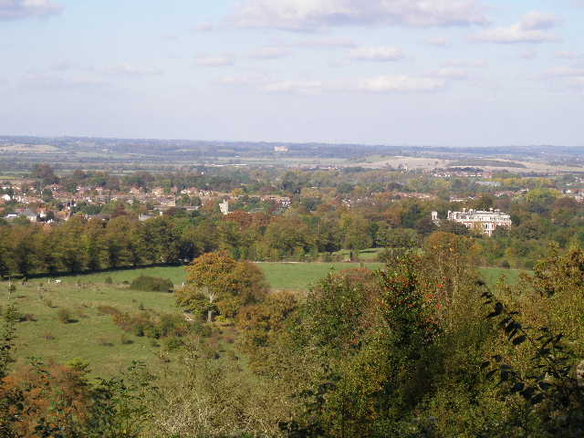
Looking out from King Charles Ride over Tring, Tring Park and the Vale of Aylesbury
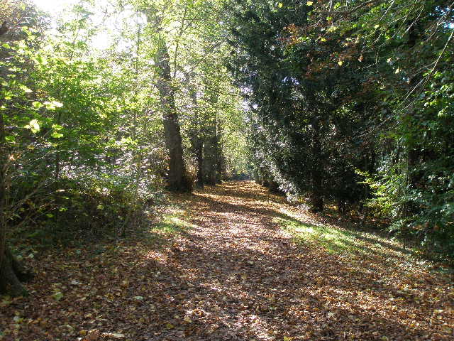
On the far side of Tring Park I reached a lane, where I turned left, soon turning right on a lane through the village of Hastoe. Just beyond a lane junction, I turned right onto a byway (curiously there are about four interconnected byways here - I'd love to know why they are all byways rather than bridleways). This started as a drive, passing a couple of properties, then forked left beside another house. The byway was now a narrower path, descending fairly steeply through Grove Wood.
Start of the byway from Hastoe
The byway from Hastoe descending through Grove Wood
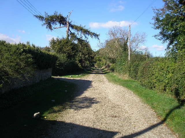
At the bottom of the slope I came to a byway junction where I turned left. This byway soon started to curve round to the left. It was a very pleasant track between hedges, with mainly horse paddocks either side. At a T-junction I turned right onto another, very similar, byway. This soon passed a couple of properties. Across a road, I continued on the byway for a few hundred yards, before turning left on a path through a couple of fields, heading towards Aston Hill.
The second byway, just before I turned left on a path to Aston Hill
I turned right on another minor road for a short distance, then went left on a path rising up Aston Hill. The path was initially on the edge of a wood, with a field to my right. Occasional views out to the right over the Vale of Aylesbury gave me the perfect opportunity to stop and get my breath back.
Start of the path up Aston Hill
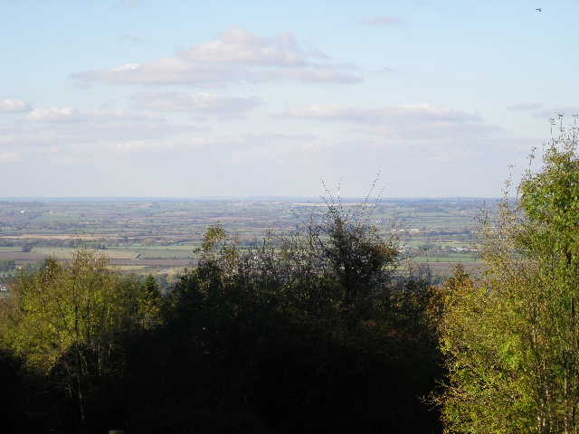
Looking out over the Vale of Aylesbury from the path up Aston Hill
Where the field ended, I continued uphill through the wood alongside a wire fence on my right - beyond the fence I could see red and white tape stretched amongst the trees, marking part of a circuit for mountain bikers. The path took me to a farm and I continued along the farm drive across the top of Aston Hill, eventually reaching a road close to the entrance to a mountain biking centre. There were yet more views of the Vale of Aylesbury here.
The farm drive across the top of Aston Hill
The Vale of Aylesbury from Aston Hill
Across the road, a footpath started slightly to my left. It almost immediately joined a drive, where I saw a Muntjac deer in a garden on my right. The path then entered part of Wendover Woods. Fairly soon it reached the long drive to the Forestry Commission car park in the centre of the woods, which I followed to get back to my car about 2.45pm.
Path between Aston Hill and Wendover Woods
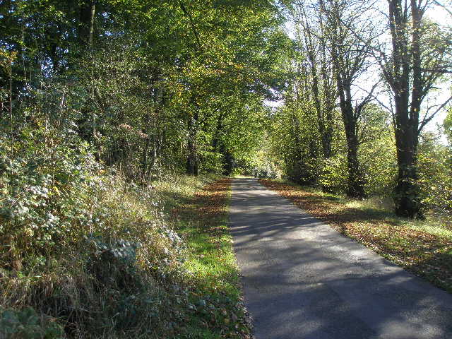
The one-way drive to the car park in Wendover Woods