Pete's Walks - West Wycombe, Bradenham, Hughenden (part 2)
Eventually Park Wood turned sharply left and uphill again, but the footpath continued along a field boundary and then crossed a narrow empty pasture to reach the attractive village of Bradenham.
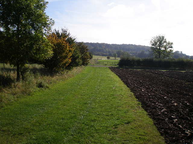
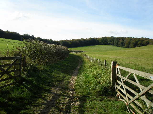
Footpath to Bradenham
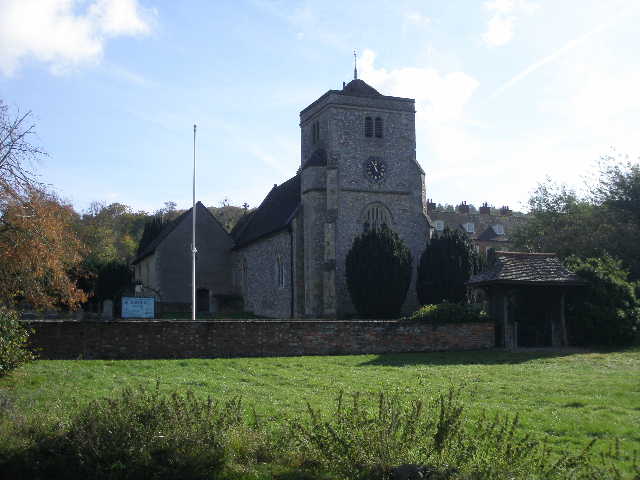
Bradenham church
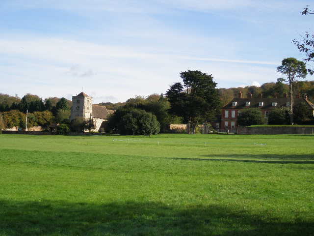
Village Green, church and manor house, Bradenham
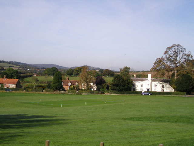
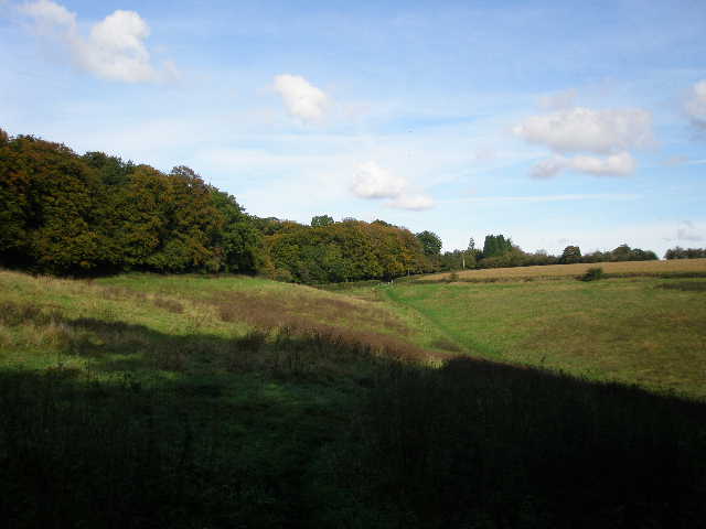
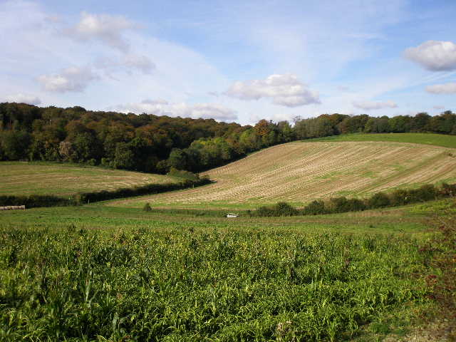
Looking north from Bradenham towards Lodge Hill
I went a long way round the large village green (I could have just crossed the top of the green, it's all owned by the National Trust), taking a few photos. I then took a bridleway going uphill back into the woods, with a brick-and-flint wall on my left. At a track junction by a corner of the wall I stayed beside the wall, this track soon turning right and heading uphill through the woods. Near the top of the slope it rejoined the first track, which soon passed Bradenham Hill Farm and entered Naphill Common. There was now a long and pleasant section on paths and bridleways through the woods, but the paths didn't seem to match those shown on my map, so although I always knew roughly where I was, I was never sure of my exact position. I was so concentrating on keeping my bearings, I completely forgot to take any photos on this section! Having crossed to the far side of the wood, close to the village of Naphill I turned right (south) on a bridleway. When it crossed a private drive I finally knew exactly where I was, and easily made my way to the end of a lane. [[[Update 8/2/14: Having been back this way, I'm not sure what my navigational problem was! The bridleway continues from Bradenham Hill Farm, I kept right at a fork, and then took a footpath going half-right, turning right at its end (close to Naphill) onto another bridleway. Not long after this crossed a drive (to Cookshall Farm, over to my right), I took a path going sharply back left to reach the start of a lane.]]]. I followed this lane a short distance westwards, with houses on my left and Oaks Wood on my right. I then took a path into Oaks Wood, soon turning left and leaving that wood, crossing a corner of a meadow and entering Common Wood.
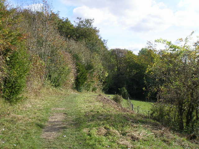
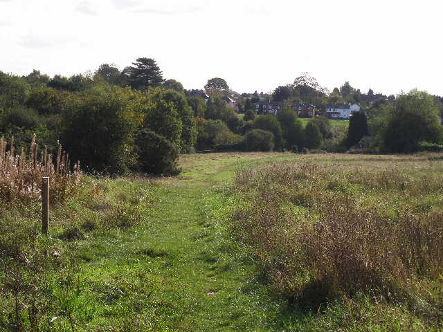
Looking back to Oaks Wood
The path kept to the edge of the wood on my left, then turned right (I'd just passed another path going right), along a good track running along a small valley. I was now on the boundary between Common Wood and Flagmore Wood (owned by the National Trust). I stopped part way along it to eat my lunch, sitting on a small tree stump beside the track. Shortly after restarting, I turned left and went uphill a short distance through the trees, then turned right on a pleasantly contouring path. This soon left the wood, though the wood continued on my left. The path followed the edge of the wood as it curved round to the left. I then re-entered woodland, part of the grounds of Hughenden Manor, once the home of Benjamin Disraeli and now managed by the National Trust (I visited it earlier this year with my parents and my niece Emily). At a junction with a bridleway, I went left a short distance and took a quick photo of the grand house (hopeless photo, looking straight into the sun and the house mainly hidden by trees anyway!) then turned back and continued along on the bridleway (so I'd effectively turned right from the end of the path), which soon left the wood and ran between hedges with pastures either side.
Path from Flagmore Wood to Hughenden
Path approaching grounds of Hughenden Manor
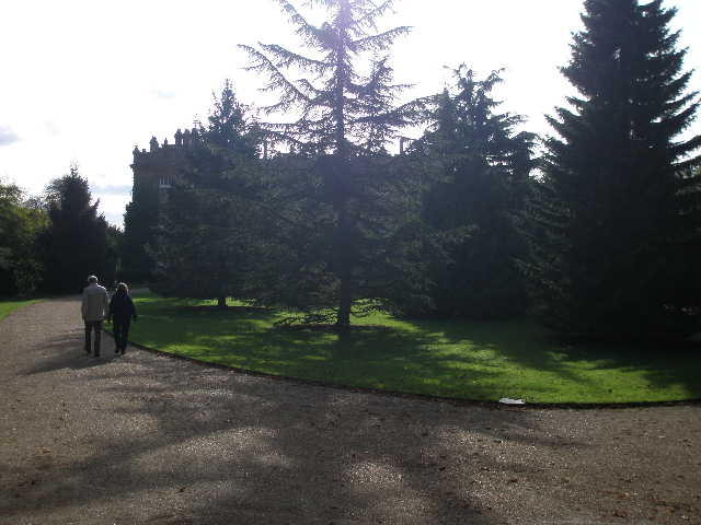
Hughenden Manor (sorry for appalling quality of photo!)
Bridleway away from Hughenden Manor
The bridleway entered yet more woodland for a while. At a junction in the middle of the wood I took a bridleway going right (a footpath went sharp right here), which went gently uphill and emerged from the trees at the village of Downley.
Downley
I went round part of the village green on my left, sson joining a lane. A little after this turned left a footpath started on the right (a fingerpost showed where a bridleway started a little further along the lane), going a few yards down a driveway to a metal kissing-gate, then following a hedge on my right through a small enclosure. The path then stayed beside the hedge through a huge open field (part of Downley Common according to the OS map), where there was a far-reaching view over a very wooded section of the Chilterns. The path next went steeply downhill through another wood, and then I turned left at a path crossroads, now going downhill very gently. On leaving the wood I turned left along the drive from Cookshall Farm (somewhere to my right).
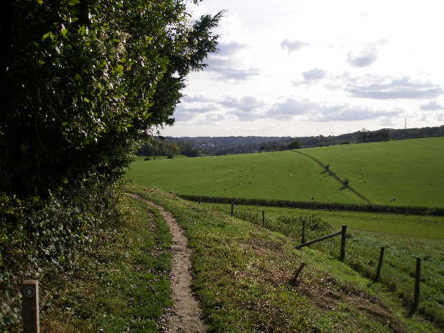
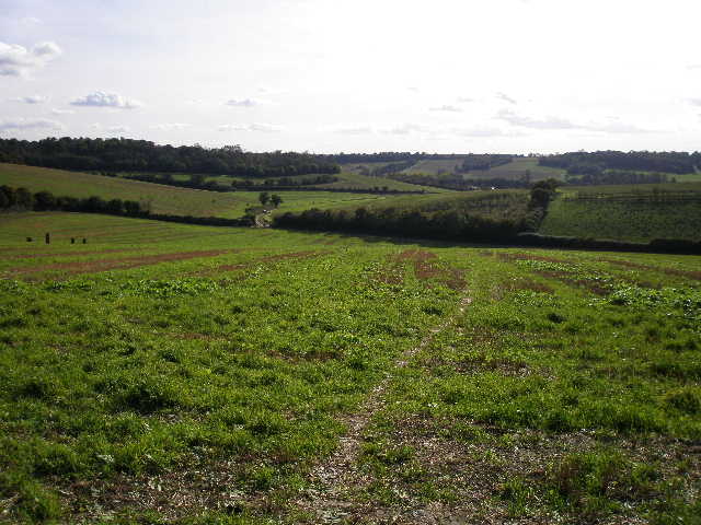
View from drive to Cookshall Farm
After a short while the very long farm drive turned left, but I continued straight on along a footpath that descended into a small valley, before I turned left along a track to rejoin the farm drive. I followed this to the right, soon getting a nice view of the Mausoleum on its hill to my right. The drive eventually went under a railway bridge and joined a main road where I turned left to immediately reach a roundabout. Here I went right, walking along the main road through the old houses of West Wycombe and then turning right at a junction to return to the car park where I'd started.
The path from the drive to Cookshall Farm
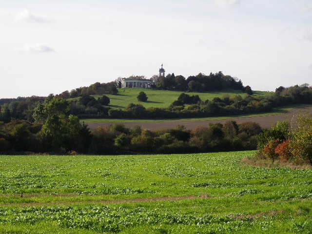
The mausoleum and St Lawrence's church
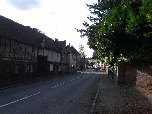
West Wycombe