Pete's Walks - Kensworth-The Downs-Whipsnade (part 1)
If you are considering walking this route yourself, please see my disclaimer. You may also like to see these notes about the maps and GPX files.
This is my favourite short local walk, which I have done many times. It is a circular route, about six miles long, running from Kensworth through Whipsnade Heath to Dunstable Downs and then returning via Whipsnade and Holywell. Although the route was very familiar, on this particular day (Wednesday, January 7th, 2009) there was an inch or so of snow on the ground making the conditions quite different to usual. I walked up Common Road, Kensworth, and took the footpath on the left, opposite Green End farm, which led across a couple of fields to the wood at Whipsnade Heath.
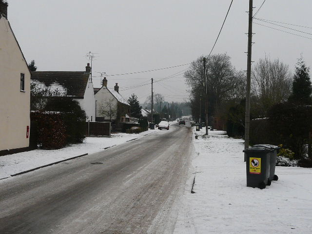
Common Road, Kensworth, from near my home
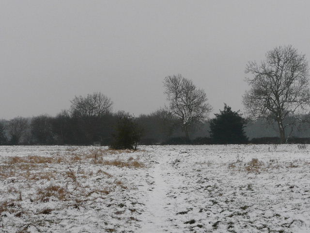
The path from Common Road, heading towards Whipsnade Heath
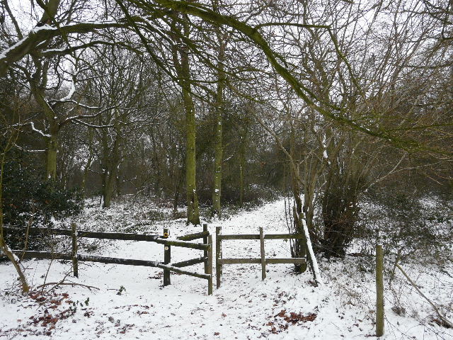
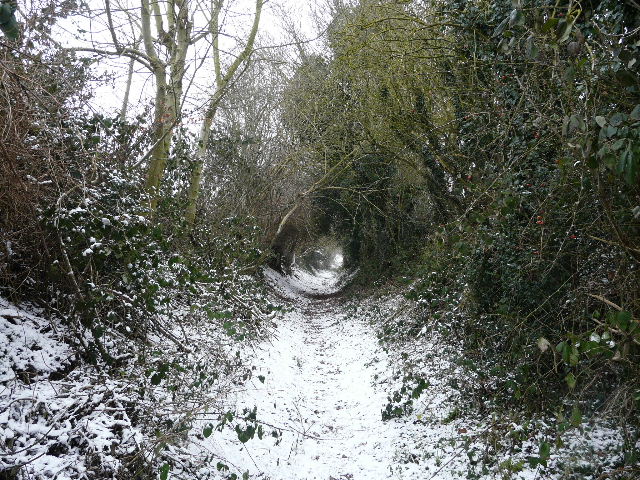
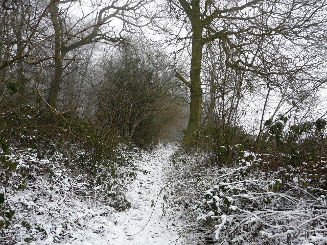
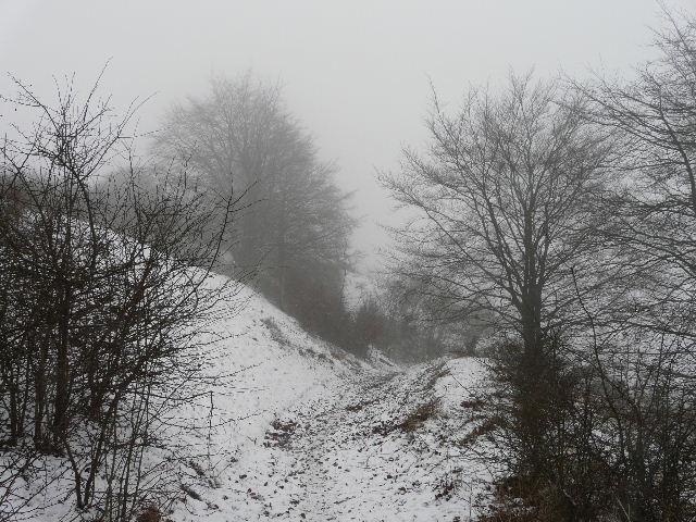
The path entering the woods of Whipsnade Heath
I followed the path into the wood, but after only a very short distance I turned right onto another path. I followed this path as it curved left through the trees until I reached another path junction, where I again turned right. This path took me past a huge pollarded beech tree, evidently of great age, which I remember well from my childhood. The path then turned left, to reach the road that runs from the crossroads at Whipsnade Heath to Dunstable Downs. I crossed over the road to reach the start of a bridleway almost opposite.
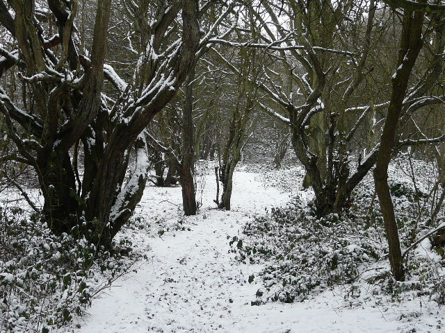
The path through the woods of Whipsnade Heath
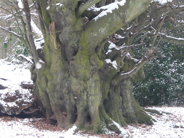
Some time ago I reported this huge and ancient pollarded Beech tree to the Ancient Tree Hunt (this external link opens in anew window). Someone else must have done so also, because it is named there now as the Witches Beech, something I didn't know. Unfortunately I have not yet found out anything more about the tree or its intriguing name.
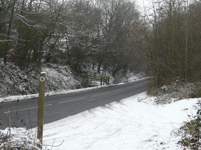
Where I crossed the road that runs from Whipsnade Heath to the Downs - the bridleway starts at the wooden fencing on the far side.
This bridleway can sometimes be almost impassably muddy, but that was not a problem today as the ground was frozen hard. At one point, there was a view left towards part of the large green at Whipsnade. After a while, a footpath joined from the right, and the bridleway became a wide farm track.

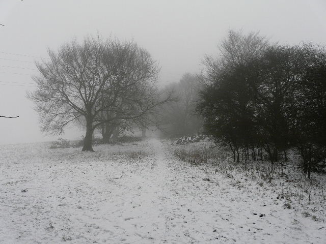
Looking towards Whipsnade from the bridleway
The bridleway took me to a T-junction with another bridleway (the green at Whipsnade was just a short distance to my left). I turned right, initially with a ploughed field on my right. Soon the bridleway was rather sunken, with tall hedges either side, containing much Holly. I passed a Mobile Home park on my left, and then there was a field of rough grass on my right.
The long bridleway between Whipsnade and the Downs, approaching the Mobile Home park (on the left)
The bridleway just beyond the Mobile Home park
The bridleway continued for a short distance with woods either side, then for a longer distance between a wood and another field to the right. When it crossed the drive to Chute Farm, I suddenly realised that it was now very foggy - I couldn't se the Chiltern Gateway Centre that was close to the end of the drive, about quarter of a mile to my right. A short distance further on, I went through a metal kissing-gate that brought me out into the huge pasture that covers the upper slopes of this part of the Downs. I usually refer to the Dunstable Downs, but I think this pasture is strictly speaking part of Whipsnade Downs.
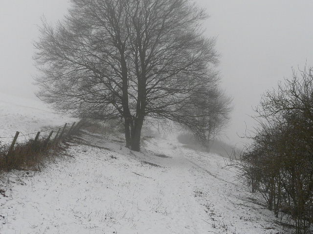
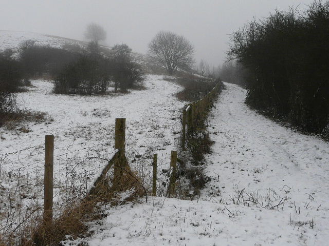
The bridleway shortly before reaching the drive to Chute Farm
I turned right along the top of the huge pasture (there are a few trees in this corner) to reach another metal kissing-gate. Through that, I turned left to descend by the fence round the huge pasture. Within a couple of hundred yards or so, I reached the bottom corner and turned left again, following a much longer path beside the bottom fence of the pasture. Looking right, I could barely make out the fields at the bottom of the steep slope - on a clear day you can see for 40 miles from the Downs!
The path along the top of the Downs, approaching a corner of the huge grassy field
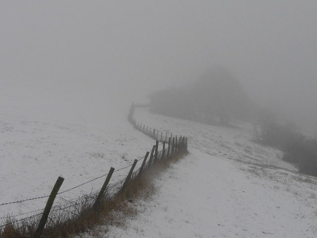
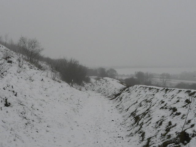
Near the start of the path along the bottom fence of the huge field
After maybe a third of a mile, the path left the fence and started heading gently downhill, cutting across the steep slope. I passed a path crossroads - I was tempted to take a shortcut by going left here, thus avoiding the steep path up Bison Hill which I thought might be treacherous in the snow. But I decided to risk it, and continued ahead, the path still descending gently, now with an embankment on my right - the path was an ancient drover's way that had worn a groove in the hillside through centuries of use. I remembered seeing the tiny Squinancywort growing here in the summer.
Further along the path below the huge field
Still further along the path below the huge field, approaching a path crossroads
The path now descending at a gentle gradient towards the foot of Bison Hill. This is an old drover's way, dating back centuries, hence the steep bank on my right.
At the bottom of the hill, I turned left and took the very steep path back up to the top of Bison Hill. Fortunately it proved to be no problem - footprints showed that several other people had already managed it. It was a short steady slog to the top.
This looks flat doesn't it? It's actually the very steep path up Bison Hill - the road, out of shot to the right, is between '1 in 5' and '1 in 7' (according to the OS map). On the far side of the road is the huge paddock where Whipsnade Zoo keeps it Bison, hence the name of the hill (I'd love to know what the hill was called before the Zoo opened in 1931).