Pete's Walks - The Hertfordshire Way
If you are considering walking this route yourself, please see my disclaimer. You may also like to see these notes about the maps and GPX files.
Day 11 4/11/05 Hemel Hempstead station to Kings Langley station (8.8 miles each way)
Parked in Hemel Hempstead station car park.
This was another very good day for a walk, with blue skies all day and warm enough for me not to need my fleece at all, although there was a bit of a wind in the afternoon.
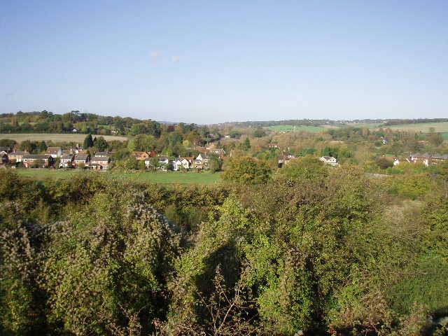
[1] View back over Bourne End
From Hemel Hempstead station, I retraced my steps along the Grand Union Canal, turning off by a swing bridge to enter Bourne End from the opposite direction from when I’d entered it on the last walk. I took a path leading gently uphill, which crossed a footbridge over the A41 dual carriageway, and then crossed Little Hay golf course [1] – the paths round the course were well signposted and easy to follow. After a short wooded section beside the drive to the club house, I reached a road (between Hemel and Bovingdon) which I crossed, and then followed a smart residential road. At its end, I turned right along Stoney Lane, a very pleasant hedge-lined track that led to the village of Bovingdon.
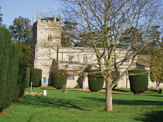
[2] Bovingdon church
Here I passed through the churchyard [2] and on into the village [3]. The Hertfordshire Way then shared the same route as the Chiltern Way for about a mile, crossing through three pastures (sheep and cows) and then a large arable field to reach a road. The Chiltern Way turned right here, while my route took me straight on down the aptly-named Holly Hedges lane. After about a third of a mile, the Chiltern Way rejoined the Hertfordshire Way only to turn off right again after about 100 yards – the last time I shall see the Chiltern Way on this walk. After another third of a mile, the Hertfordshire Way left Holly Hedges Lane and took a pleasant path through a beech wood, emerging to follow a hedgerow to a road at Belsize. This was quickly left by a bridleway that rose uphill and then continued on the level, all the while on the edge of another beech wood at Chipperfield Common. After about three quarters of a mile, I reached Apostles Pond, named after 12 Lime trees that were planted round the pond in 1714. From here, a faint path led through the woods – I managed to get slightly lost here and came out on a road about 100 yards from where I should have been (on the way back I found that the reason was that I had, quite naturally, gone straight on at what seemed like a crossroads of paths, whereas the path I wanted was actually a few yards to the left).
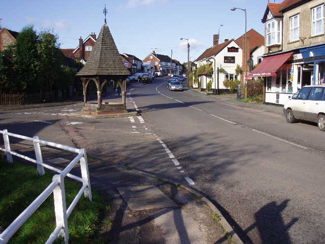
[3] Bovingdon
Across the road, a fenced path led through a series of paddocks via a number of kissing gates. It then followed a hedgerow beside a larger paddock and then downhill beside an arable field. Rising up the opposite slope, it passed through a series of pastures to eventually reach a footbridge over the A41. Beyond this, a farm track led on to Kings Langley [4] after about half a mile, where a short walk took me to the railway station.
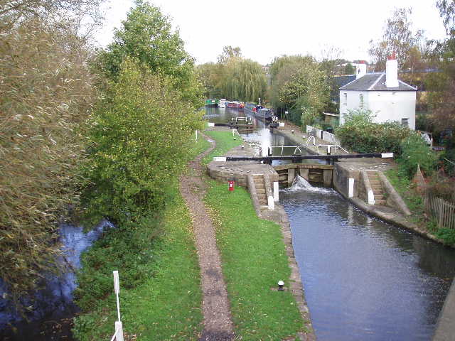
[4] Grand Union Canal at Kings Langley
On the way back, I stopped for lunch beside Apostles pond [5] – the second successive walk that I’ve had lunch by a pond, and again it was a very pleasant spot. The walk back to Hemel was very enjoyable on this lovely autumn day. Although this walk was longer than usual for me, I didn’t feel too tired when I got back to my car and I felt as if I could have walked further if I’d had to.
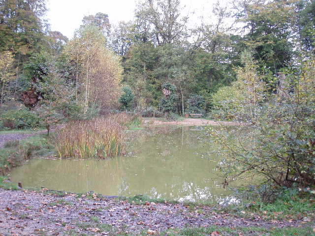
[5] Apostles Pond on Chipperfield Common
Overall, this was another very good walk. It was quite varied, with the canal, the golf course, woods and fields, and it included several ups and downs to add to the variety. Sadly, this is the last I’ll see of the Chiltern Hills on this walk. The next few walks will be skirting between the northernmost suburbs of London and the large towns just beyond the suburbs – I’m not expecting this part of the Hertfordshire Way to be as good as the last few days, and the chap I met at Whitwell said this would be the least interesting section. But when I get to Cuffley in about four walks time, the scenery and interest should pick up again.
Total Distance: 86.8 miles each way