Pete's Walks - Souther Fell, Bannerdale Crags and Bowscale Fell
My friend Martin and I did this walk on 6th May 2007. As usual we were staying in a rented flat in Keswick. This was a Bank Holiday Sunday, so we wanted to go somewhere a little off the beaten track to avoid the crowds, and as the weather forecast wasn't too good we decided not to go anywhere too high. We parked along a lane just south of Mungrisedale, and started the walk by taking a path slanting up the steep east flank of Souther Fell.
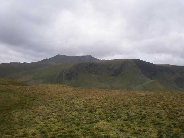
Bannerdale Crags with Blencathra beyond, from Souther Fell
We followed the ridge of Souther Fell to the southwest and then south.
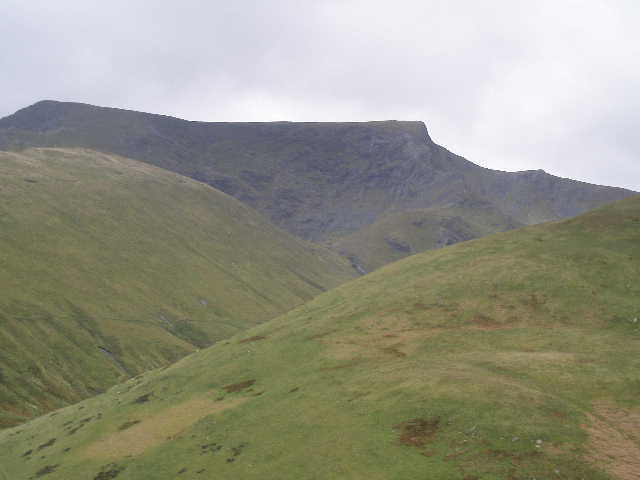
Blencathra, from the southwestern end of Souther Fell, looking across the Glenderamackin valley
We then made our way to the footbridge over the river Glenderamackin. We then followed a path along the river valley, with Bannerdale Crags on our right and Scales Fell across the river on our left.
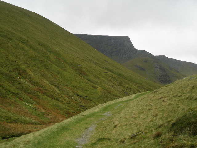
Looking along the Glenderamackin Valley towards Sharp Edge on Blencathra
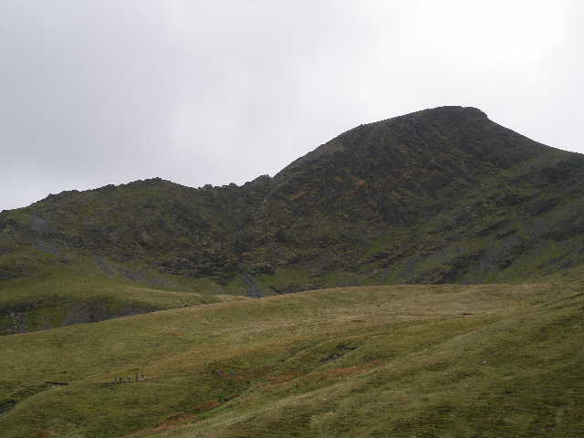
Looking back to Sharp Edge
As we progressed along the path we passed an old lead mine and got close-up views of the steep arête of Sharp Edge on Blencathra (we'd walked there ourselves a couple of years ago, on a day when Scales Tarn was frozen over). Despite the windy and wet conditions, one or two people were on Sharp Edge, but we saw a larger group take a sensible decision to take a safer route to the top of Blencathra. Our path took us to a col between Atkinson Pike and Bannerdale Crags. We then took a clear path (not shown on the map) that rose gently to the summit of Bannerdale Crags.
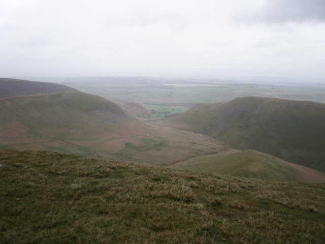
From Bannerdale Crags, looking east down Bannerdale to the village of Mungrisedale. Souther Fell is on the right,and the Tongue is to the left (our route back to Mungrisedale is just visible along its lower slopes)
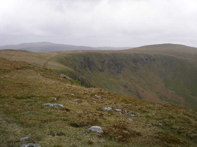
The path leading along the top of Bannerdale Crags to Bowscale Fell.
From the summit we headed northwest along the ridge of Bannerdale Crags. It now started to rain quite heavily now, and by the time we reached Bowscale Fell we were in the clouds. We decided to cut our intended walk a little short, and returned to Mungrisedale by taking a path that steadily descends the southern flank of The Tongue. As so often happens, it was bright and sunny when we got back to the car.