Pete's Walks - Hopegill Head, Wandope and Whiteless Pike
My friend Martin and I did this walk on 7th May 2007. As usual we were staying in a rented flat in Keswick. This was a Bank Holiday Monday, so we wanted to go somewhere a little off the beaten track to avoid the crowds. We drove over the Whinlatter Pass and turned left towards the village of Hopebeck before parking. We started our walk by following a path alongside Hope beck to a sheepfold, where we turned left and took a steep path that rose through the heather to the top of the ridge leading to Ladyside Pike (this path was not marked on the map, but was indicated by a cairn at the top of the ridge).
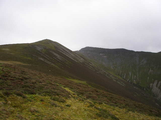
Ladyside Pike and Hopegill Head, from the cairn at the top of the footpath from the sheepfold by Hope beck
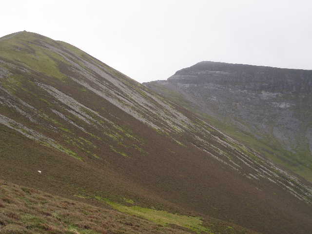
Ladyside Pike and Hopegill Head, from the cairn at the top of the footpath from the sheepfold by Hope beck
It was now quite a long slog along the ridge to the top of Ladyside Pike, and then an interesting path to Hopegill Head. I think we went off the path on the last steep section to the summit and ended up doing some unnecessary scrambling.
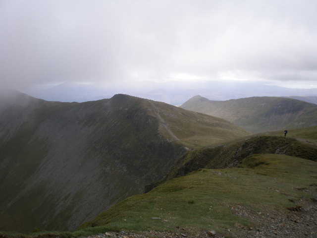
From Hopegill Head - the ridge going off to the left goes to Grisedale Pike, in the distance are Causey Pike and Scar Crags
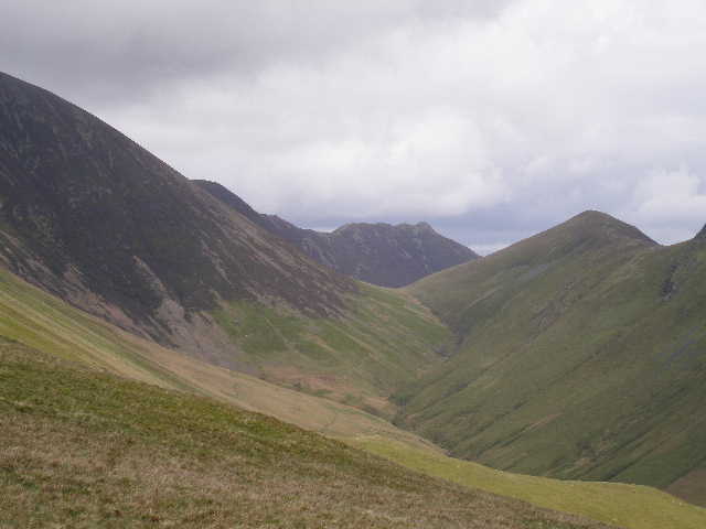
From Hopegill Head, looking west along the ridge to Whiteside, with Gasgale descending towards the northern end of Crummock Water. The slopes on the left lead up to Grasmoor.
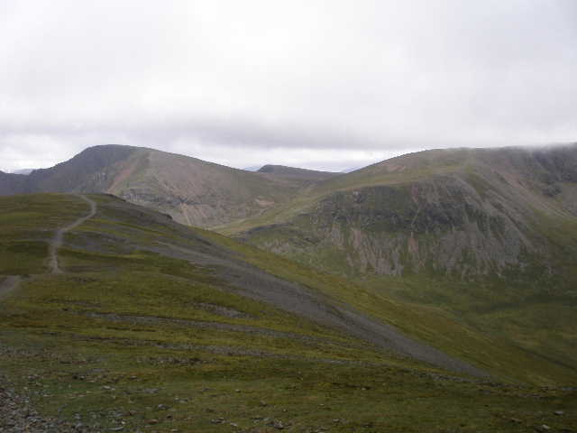
From Hopegill, looking over Sand Hill to Crag Hill, Wandope and Grasmoor.
We got some reasonable views at the top of Hopegill Head, although the summits of Grisedale Pike and Grasmoor were in the clouds. We now continued on over Sand Hill and down to the broad col of Coledale Hause, before taking the rising path between Crag Hill and Grasmoor (we had been over both these summits on the Coledale Round a couple of years ago). We then took a path that led beside the hanging valley of Addacomb Hole to the summit of Wandope. From there, we had to cross the arête of Whiteless Edge, which descended and then re-ascended to reach Whiteless Pike.
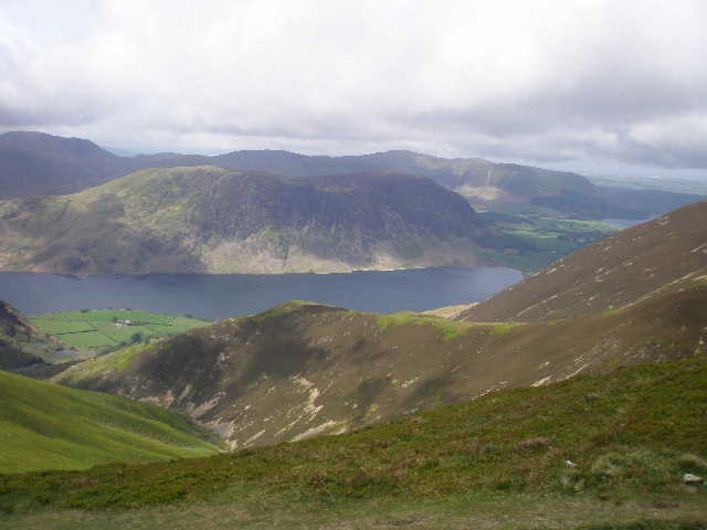
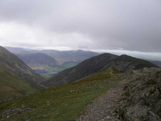
From the start of Whiteless Edge, looking across Crummock Water to Mellbreak
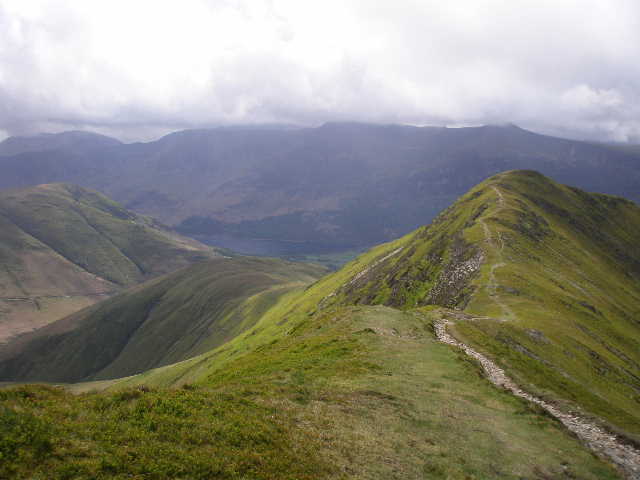
From the start of Whiteless Edge looking to Whiteless Pike, with Haystacks, High Crag, High Stile and Red Pike seen beyond Buttermere
From Whiteless Edge looking along Sail Beck to the knobbly summit of Causey Pike. Sail and Scar Crags are to the left, Ard Crag is to the right.
We stopped for lunch just beyond the summit of Whiteless Pike. There was then a long but straightforward descent towards Rannerdale.
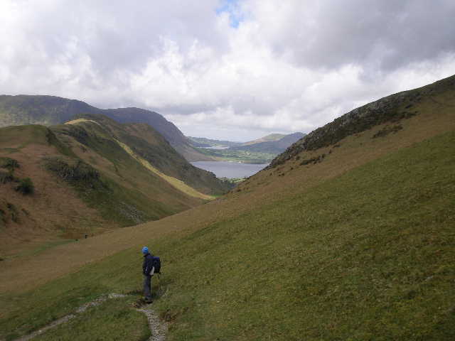
Martin near the bottom of the descent from Whiteless Pike, looking along Rannerdale with Rannerdale Knotts on the left. Loweswater is just visible beyond Crummock Water.
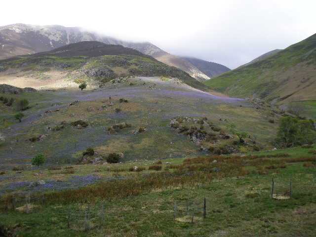
Bluebells in Rannerdale, with Grasmoor beyond
Bluebells in Rannerdale
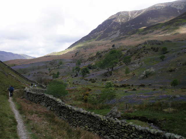
The walk through Rannerdale was particularly pleasant at this time of the year because of the profusion of bluebells. We then had to follow a road for about a mile to Lanthwaite Green at the northern end of Crummock Water, then followed a very pleasant path that contoured round the foot of Whiteside and Dodd for two or three miles to get back to the car.