Pete's Walks - Far Easedale Round
I apologise in advance - for some reason I only took photos on the first half of the walk, I didn't take any on the ridge leading towards Silver Howe. In fact, I didn't take too many photos at all, so this page doesn't really do justice to what is one of my favourite Lake District walks (I'll just have to go back and do it again!).
My friend Martin and I did this walk on 9th May 2007. As usual we were staying in a rented flat in Keswick. I was a little annoyed at the start of the walk, as the two or three times I've done this walk before I'd parked in Easedale - when we got there, we found the car park had been redeveloped as housing and we had to go back and park in Grasmere, adding about a mile to the walk.
From Grasmere we walked through the grounds of Allan Bank and followed the road through the village of Easedale. At the end of the road we continued on a track - here we met a couple of brothers, who were headed in entirely the wrong direction on the Coast-to-Cast walk. Martin pointed them in the right direction - the brother doing the navigation was very ungrateful for the help, the other brother seemed completely fed up with his brother and I felt rather sorry for him.
We now followed a clear path heading up Helm Crag, quite steep in places but not too long a climb.
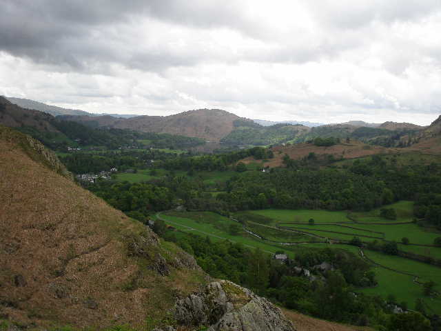
From the ascent of Helm Crag, looking over the villages of Easedale and Grasmere
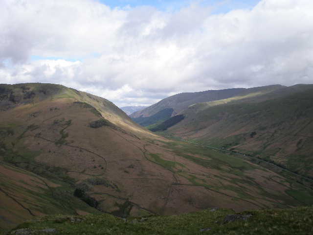
Looking across the valley of Easedale from the climb up Helm Crag
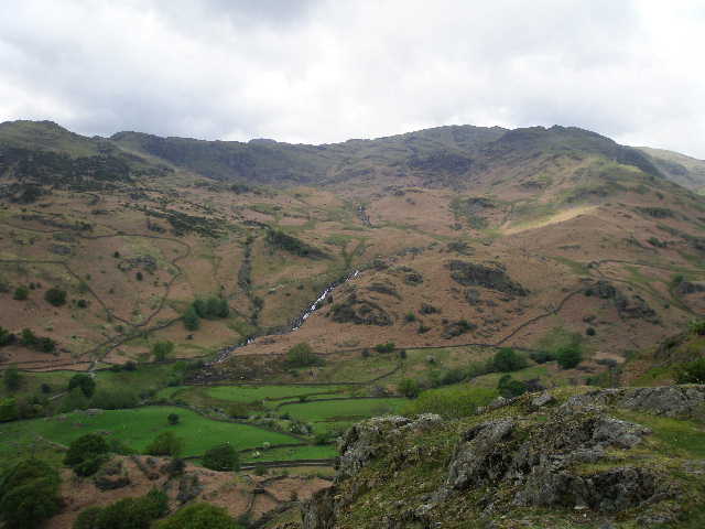
Same view from a bit higher - Easedale tarn is just visible, with Sergeant Man on the skyline
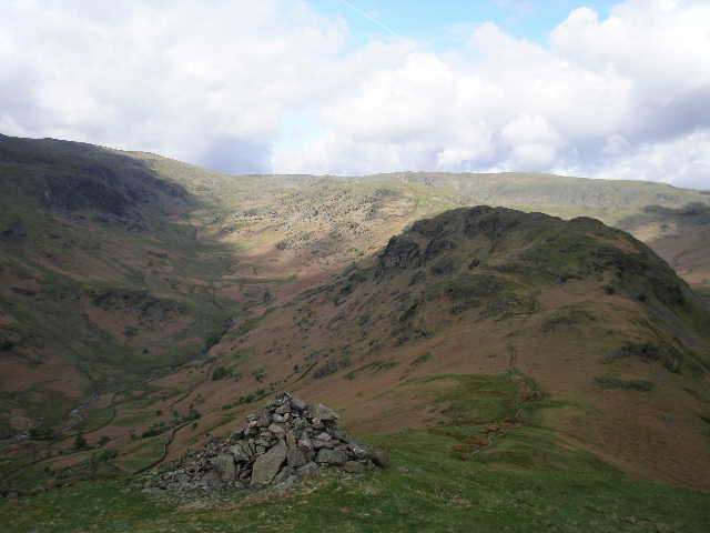
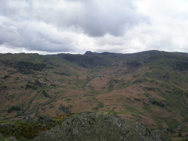
From the top of Helm Crag, looking along the ridge to Gibson Knott and beyond with the valley of Far Easedale to the left
The pass of Dunmail Raise (between Grasmere and Thirlmere) from Helm Crag
From Helm Crag we continued roughly westwards to Gibson Knott and along the broad uneven ridge beyond to Calf Crag.
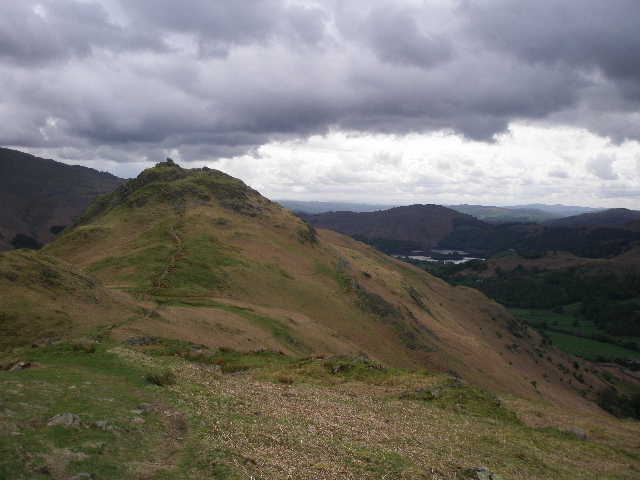
Looking back to Helm Crag from Gibson Knott
From Calf Crag we descended slightly to the end of the Far Easedale valley, and took the path leading up to Sergeant Man, the highest point on our route and where we would stop for lunch. As we eat our sandwiches, a raven flew across and landed just a few feet for us. It clearly recognised our lunch as a feeding opportunity, and when I threw it a few crumbs it walked over and gobbled them up. This was the first time I'd seen a raven behave like this (I know some Lake District sheep are very interested in walker's lunches!), although we remembered a raven landing close to us while we had lunch on Cofa Pike.
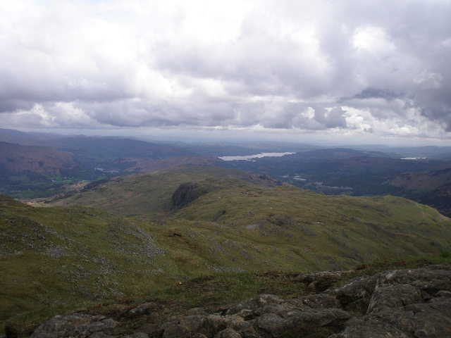
Looking along the ridge towards Silver Howe, with Windermere in the background. After lunch we traversed most of the ridge, turning left to Grasmere just before reaching Silver Howe.
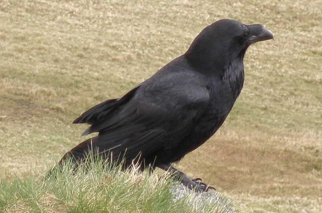
The raven that joined us for lunch
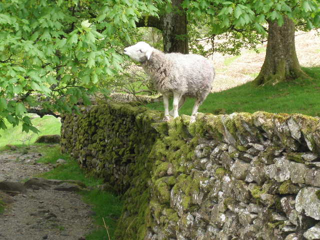
After lunch we descended a short distance then followed the very long and undulating broad ridge towards Silver Howe. Most people doing this walk would go as far as Silver Howe, but I mistakenly took a path left to Grasmere just before reaching that minor peak. When I first did this walk many years ago, I walked as far as Silver Howe, but the two or three times I've done it since for some reason I'd cut the walk a little short and turned off before then. I now automatically took the usual path (it goes left just past three tarns) and we'd gone too far before I realised that Martin would probably have preferred going over Silver Howe. It was now a steady descent back down to Grasmere. Just before we re-entered the grounds of Allan Bank we saw a sheep standing on a tall wall, eating leaves.