Pete's Walks - Pitstone Hill, Ashridge, Dagnall (page 1 of 6)
If you are considering walking this route yourself, please see my disclaimer. You may also like to see these notes about the maps and GPX files.
Google map of the walkDownload GPX file of the walk
I did this circular walk of roughly 14 miles on Sunday, 16th December 2018. It was a repeat of a walk I did in January 2018, but this time I did it anti-clockwise. NOTE: I knew before I set off that this walk would not be as good in this direction,as the views are almost always better when the route is followed clockwise.
I parked at the Pitstone Hill car park (grid reference SP 954148) and started walking about 9.45am. I went up and over the 'hillock' by the car park, and continued towards Pitstone Hill as far as the end of a hedge row on the left, where I turned left along a path that initially followed the edge of a field. After a while the path went half-left across part of the field, then continuing in the same direction across another field. It then followed a hedge on my right, curving left to a field corner where the path ended at a lane (the one past the car park, going to Aldbury to my right). I went a short way right along the lane then turned left along a drive (with a 'No Through Road' sign) - this was heading through Barley End to Duncombe Farm (though I wasn't going that far).
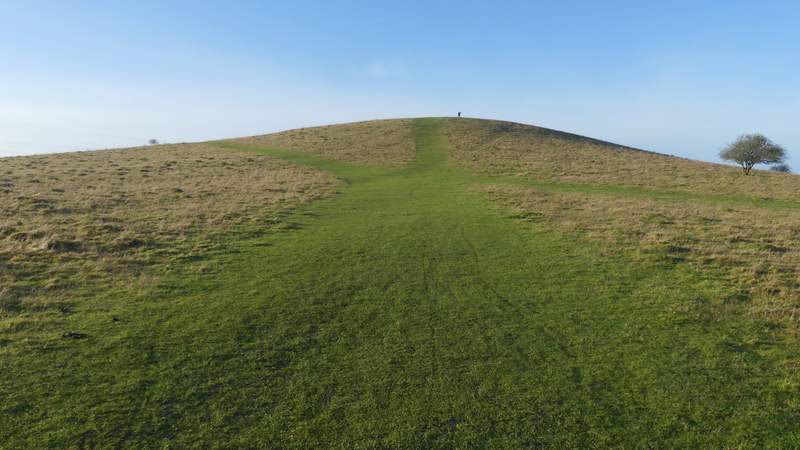
The hillock by the Pitstone Hill car park
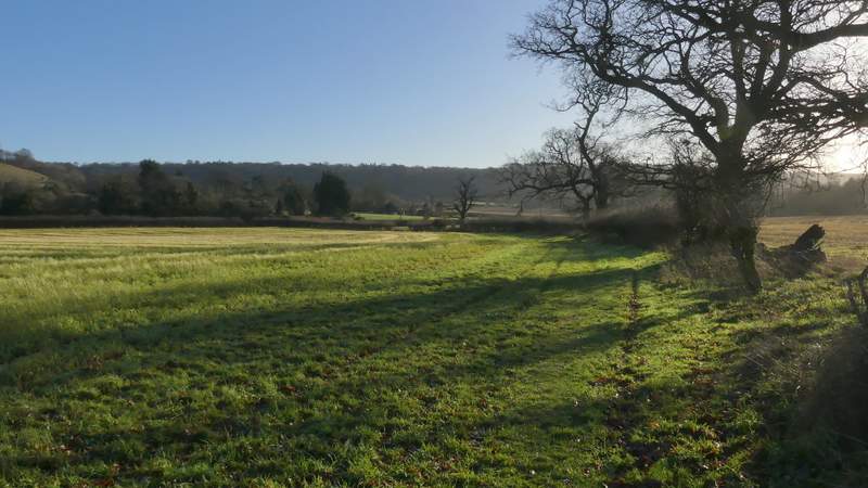
Looking towards Pitstone Hill from the hillock (I didn't go up Pitstone Hill today, I turned left by the field corner in the centre of the photo)
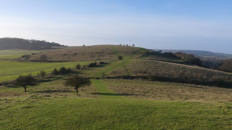
View back towards Ivinghoe Beacon from the hillock
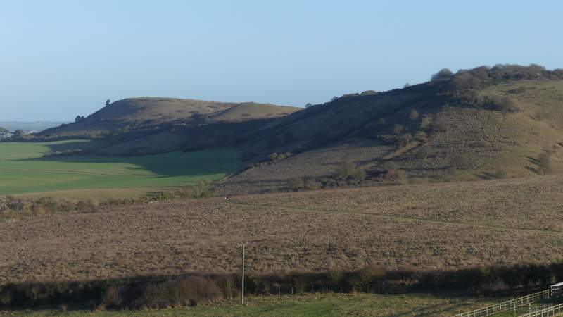
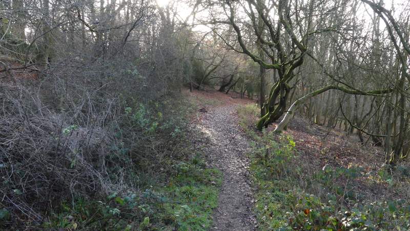
The path after I turned left
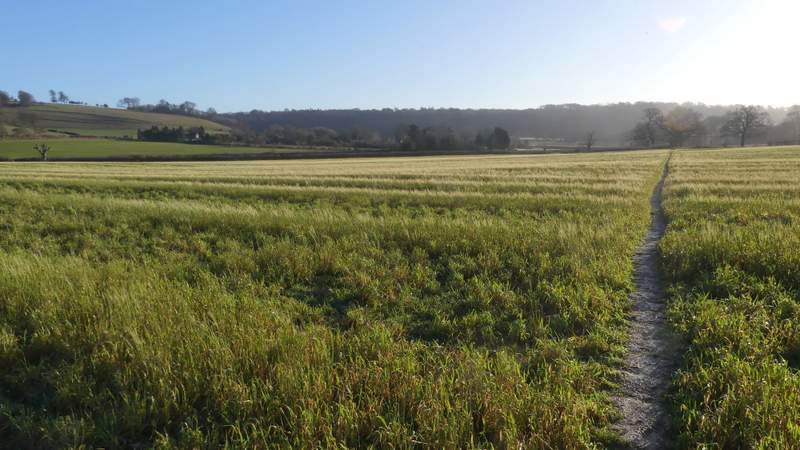
The path after I turned left
The path after I turned left
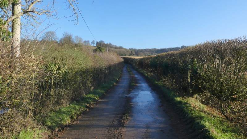
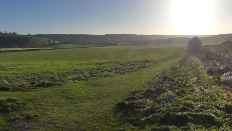
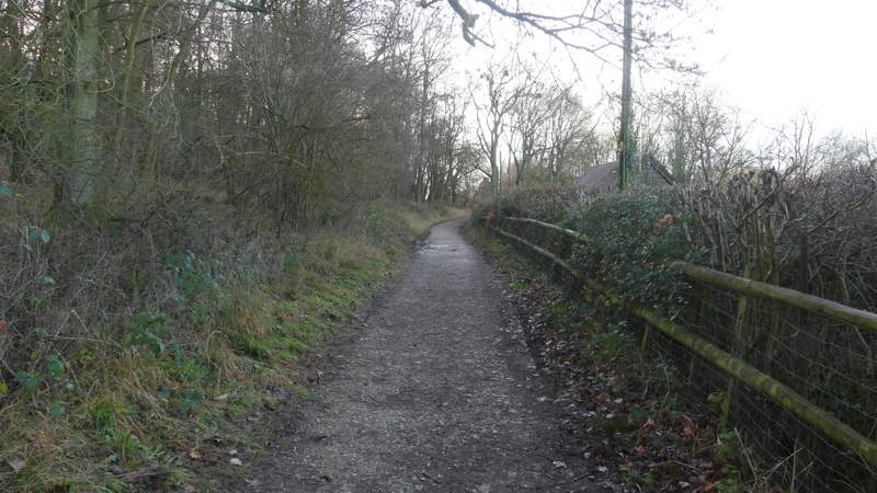
The start of the drive to Duncombe Farm
The drive to Duncombe Farm
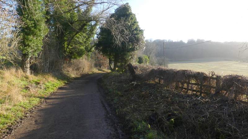
The drive to Duncombe Farm
After about half a mile (it didn't seem that long), a hundred yards or so after a footpath came in on the left (from Clipper Down) and where a 'Private' sign indicates there is no further right of way along the track, I took a path forking half-right across a ploughed field. On going through the hedge on the far side, the path turned half-left and crossed a smaller field, to reach a bridleway. Here I turned left, the bridleway soon turning right and rising up a wooded slope into part of the Ashridge estate. Towards the top of the slope, the bridleway turned slightly right (a footpath went straight on here), levelling out and running past a property called Tom's Spring on the right. Where the drive from this property went left, the bridleway continued straight on through the woods, still running fairly level and now with the Bridgewater Monument somewhere uphill to my left.
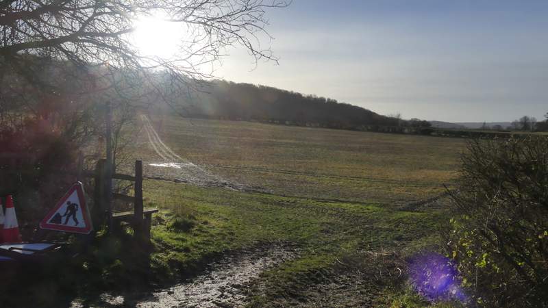
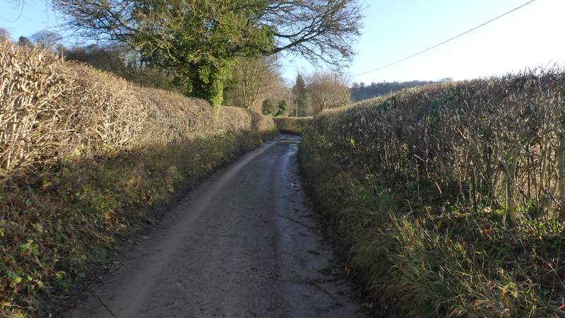
The path going half-right from the drive to Duncombe Farm
The path going half-right from the drive to Duncombe Farm (it meets a bridleway running this side of the hedgerow)
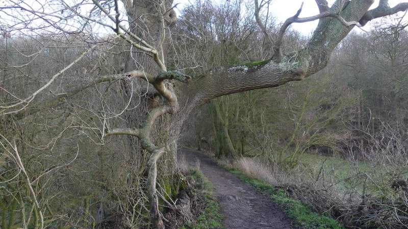
The bridleway heading up into the woods of Ashridge
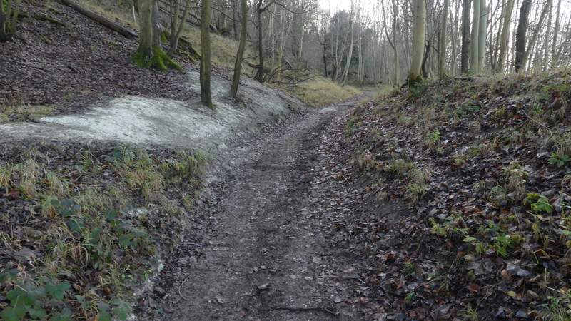
The bridleway heading up into the woods of Ashridge
The bridleway continuing past a property named Tim's Spring
The bridleway contouring round below the Bridgewater Monument
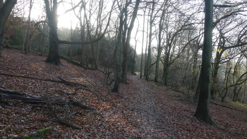
The bridleway contouring round below the Bridgewater Monument