Pete's Walks - Whitchurch Hill, College Wood, Mapledurham (page 2 of 5)
If you are considering walking this route yourself, please see my disclaimer. You may also like to see these notes about the maps and GPX files.
I went a short way right along the minor road, then took a path on the other side that led through another wood, Birchen Copse. I was a little confused (again) when it met a crossing path (partly surfaced), where it turned out I needed to go a few yards left and then turn right on a path I couldn't see from the initial 'junction' (in other words, I went straight on at a staggered crossroads). The path ended at a T-junction with a bridleway just inside the northern edge of the wood, where I turned right. I followed this bridleway for about a third of a mile to a bridleway crossroads, where I turned left.
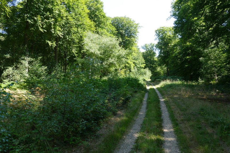
The path after crossing the minor road
The path after crossing the minor road
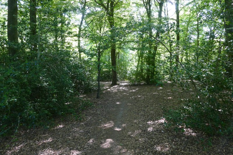
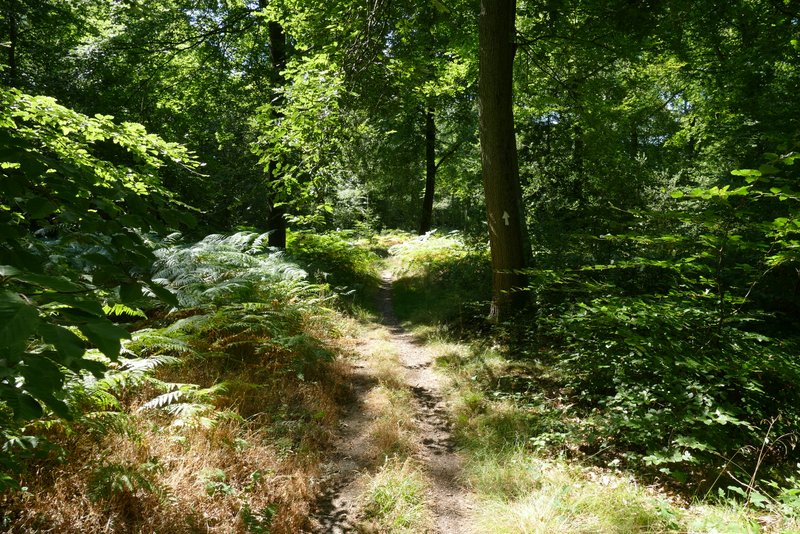
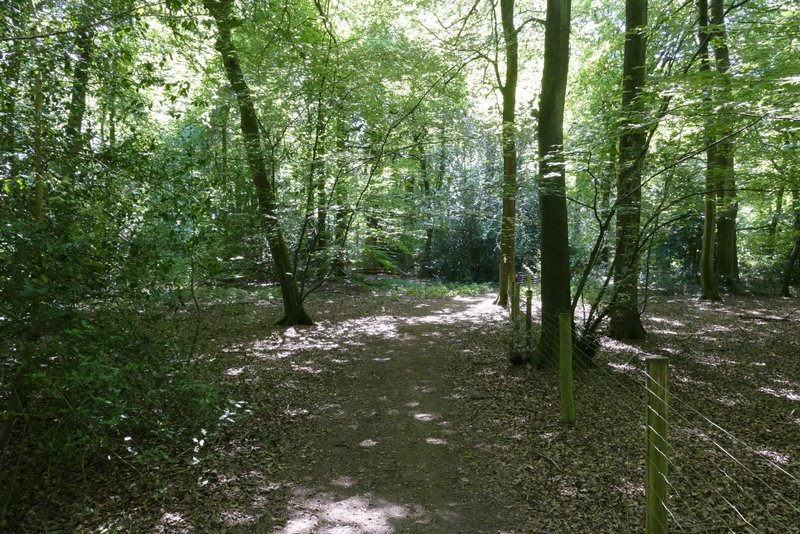
The bridleway after I turned right, just inside the northern edge of Birchen Copse
The bridleway just inside the northern edge of Birchen Copse
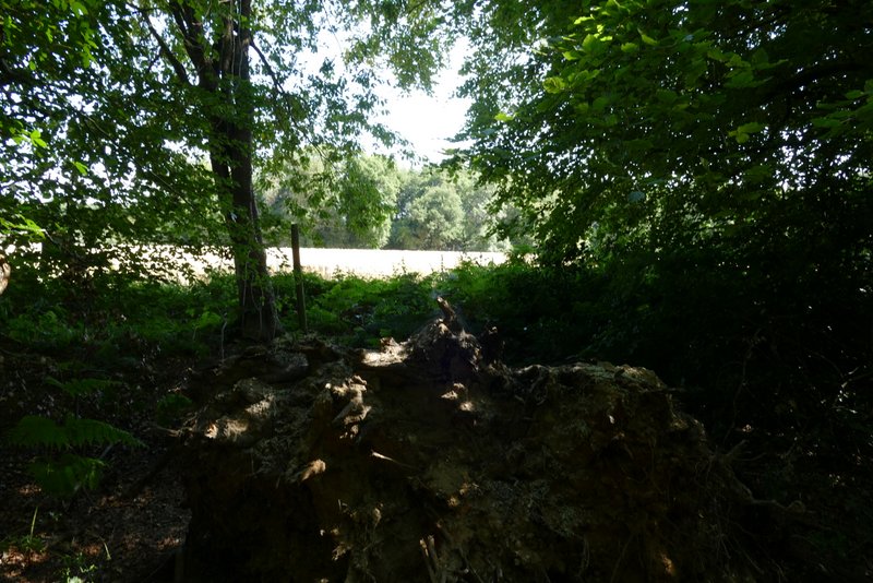
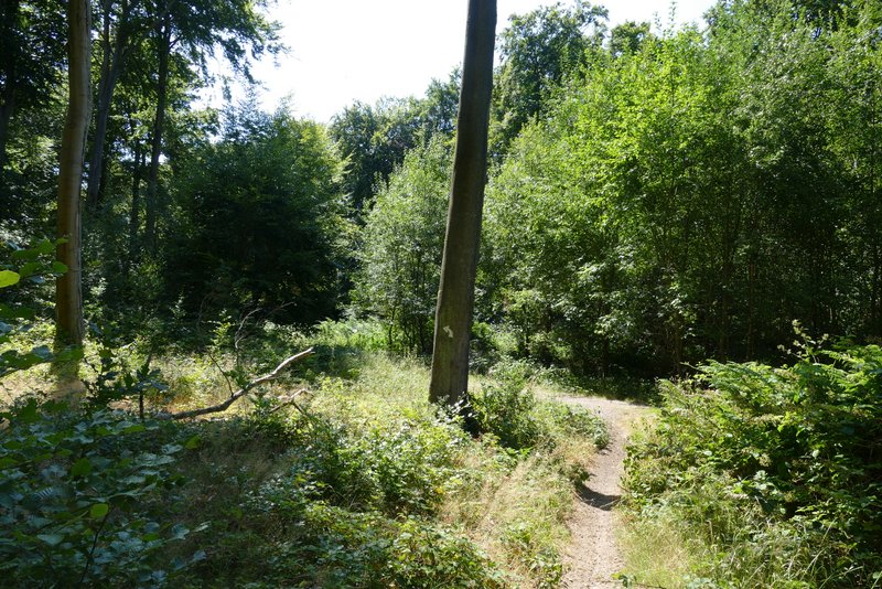
View left from just inside the northern edge of Birchen Copse
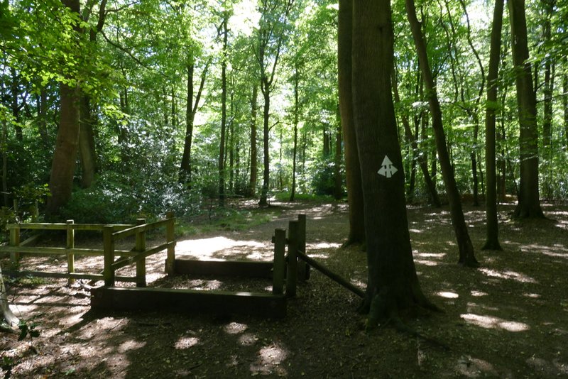
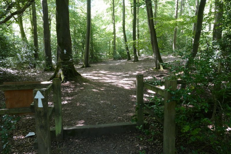
The bridleway crossroads where I turned left
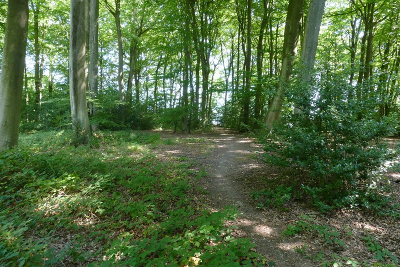
This bridleway headed northeast through 'College Wood or Abbott's Wood' - that's how it's named on the OS Map, I've just used College Wood in the name I've given this walk. After a while the bridleway met a clear track where it went left. After a few hundred yards I saw ahead of me that the track turned right, and where it did so a path continued ahead (I guessed that the path was the end of the bridleway, leading to a road). Just before the bend I turned sharply right (there were white arrows indicating the junction) onto another bridleway, one which I'd walked before. I followed this bridleway south through the wood for about half a mile.
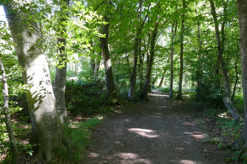
The bridleway going northeast through 'College Wood or Abbott's Wood'
The bridleway going northeast through 'College Wood or Abbott's Wood'
The bridleway going northeast through 'College Wood or Abbott's Wood'
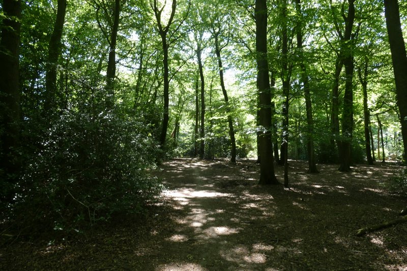
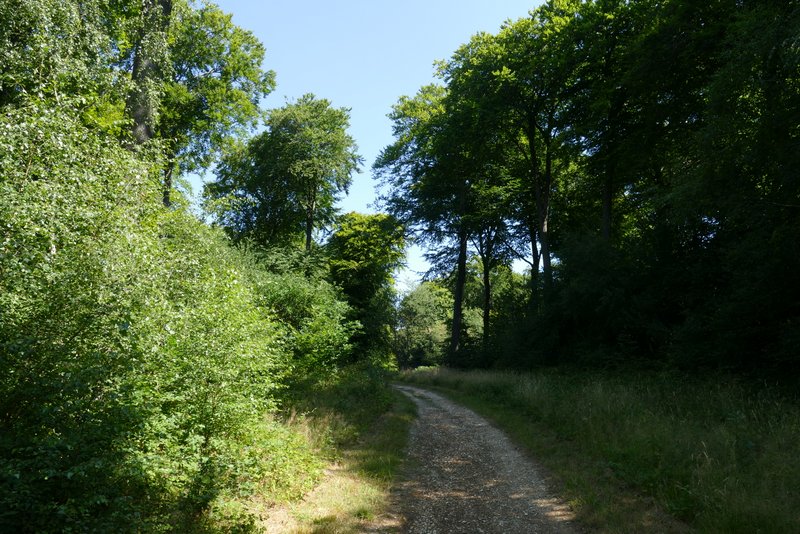
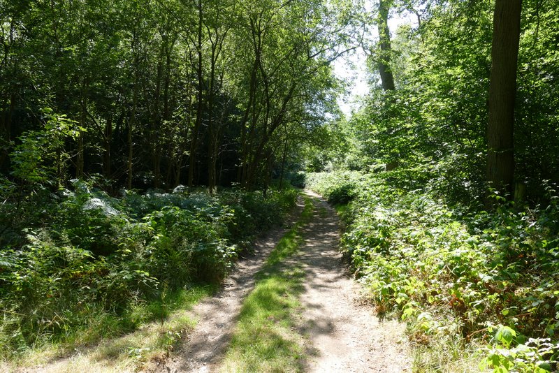
The bridleway going south through 'College Wood or Abbott's Wood'
The bridleway going south through 'College Wood or Abbott's Wood'
The bridleway going south through 'College Wood or Abbott's Wood'
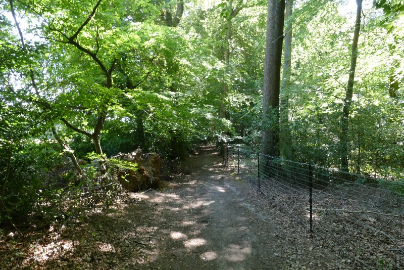
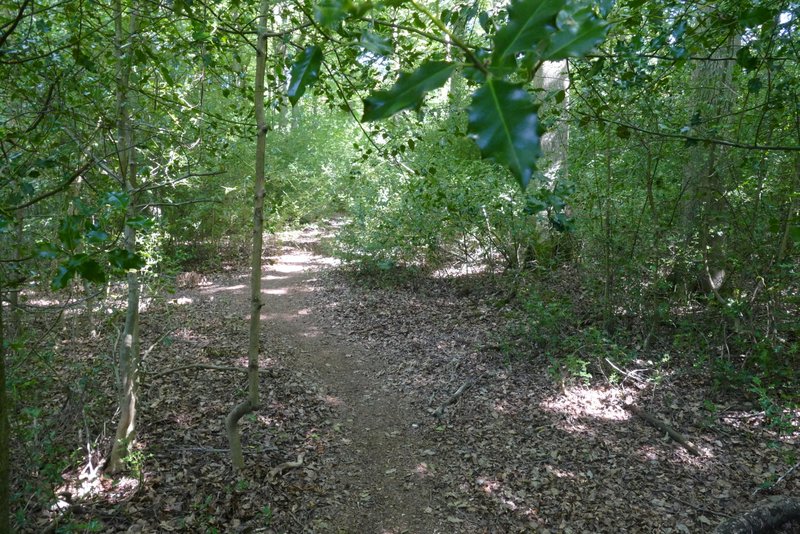
I then came to another crossroads of bridleways. I almost made a mistake by taking the obvious path on the left, that seemed to be the continuation of the bridleway coming in from the right, but I vaguely remembered that this was wrong (and I also noticed the left arrow of the white arrows on a tree was pointing slightly up). As I correctly remembered, I had to go on a few yards past a tree with a holly bush around it, and then take a path going left (or half-left). This bridleway headed southeast, through what was now Bengrove Wood. It joined a track for a while, before a white arrow on a tree indicated the bridleway was about to turn left. There was a lot of Holly in this part of the wood, where the bridleway soon turned right and continued southeast for several hundred yards to reach a minor road named Deadman's Lane.
The bridleway after I turned left towards Bensgrove Wood
The bridleway after I turned left towards Bensgrove Wood
The bridleway after I turned left towards Bensgrove Wood
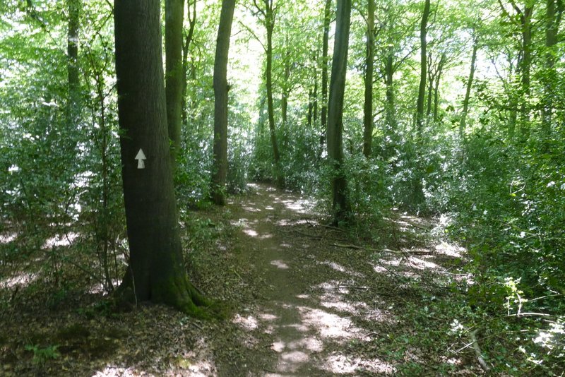
The bridleway after I turned left towards Bensgrove Wood