Pete's Walks - Caddington figure-of-eight walk (page 2 of 3)
As I progressed eastwards along Blows Downs, familiar landmarks came into view - the Tesco's where my parents shop and the Luton and Dunstable Hospital (where I recently had all four wisdom teeth removed!). Further off across the urban sprawl of Luton I could see Galley Hill and Warden Hill, which I have enjoyed walking over several times now. I went through a gate into an enclosed section of the Downs where a large herd of cattle and calves were grazing (part of the management plan for the nature reserve here). Further on I reached a point where a footpath came in on the right - I had to retrace my steps a few yards to find an unsigned path that took me downhill to reach a roundabout at the western end of the Luton-Dunstable Relief Road (which was built along the course of a disused railway line).
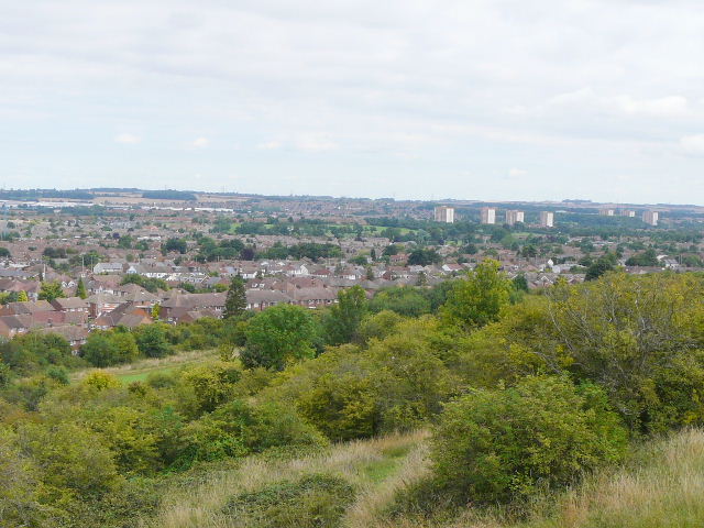
Looking over Luton towards Galley Hill (top right) from Blows Downs
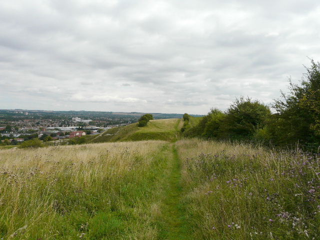
Heading east along Blows Downs (the tall white building is the Luton and Dunstable hospital where I'd recently had my wisdom teeth removed!)
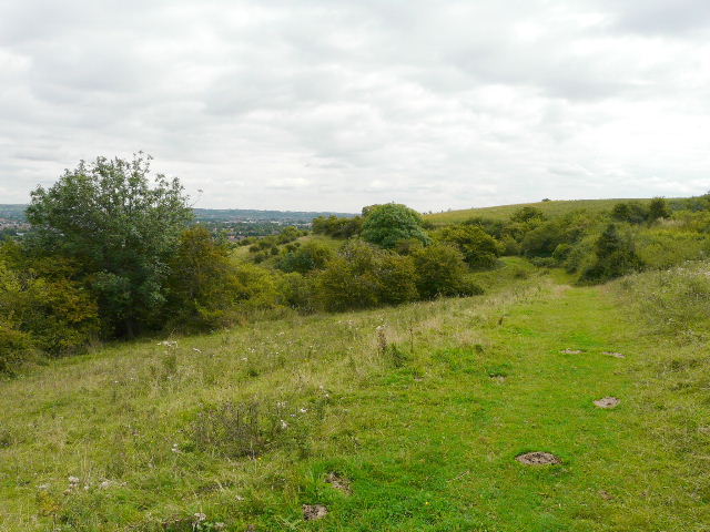
Blows Downs, shortly before I turned left
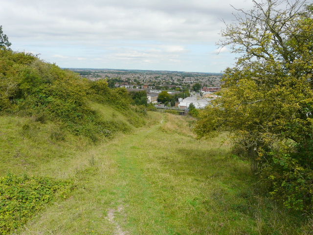
The path down Blows Downs
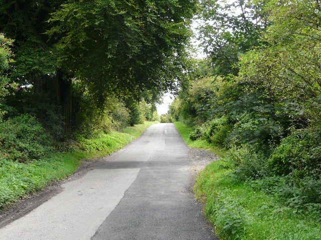
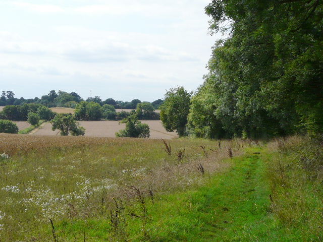
I carefully crossed the road and took Skimpot Lane on the other side - this used to be a route back to Caddington, before the building of the Relief Road that split it in two. This section of lane just runs for about a third of a mile, terminating at the entrance to a caravan park, with a path continuing along the course of the lane a short distance.
Skimpot Lane
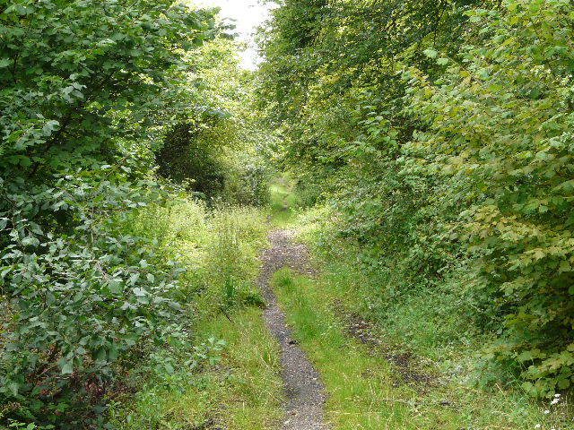
Footpath along the old course of Skimpot Lane
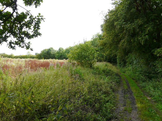
I then had to carefully cross the busy Relief Road, and tread cautiously through a short path almost overrun with nettles. I continued eastwards on one of several parallel paths, then turned right on a path parallel to the M1, the noise from which had added to that of the Relief Road for some time. After a short distance, I turned right onto a bridleway running between hedges, gradually heading back up to the top of the downs. In fact the ascent was so gradual I'd soon gone further than I thought and almost missed the turning where I needed to go left to Badgerdell Wood.
The bridleway leading south from near the M1 on the edge of Luton
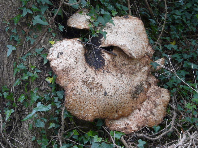
This fungus on an Ash tree was about two foot high and eighteen inches across. It was later identified on a wildlife website as a Dryad's Saddle.
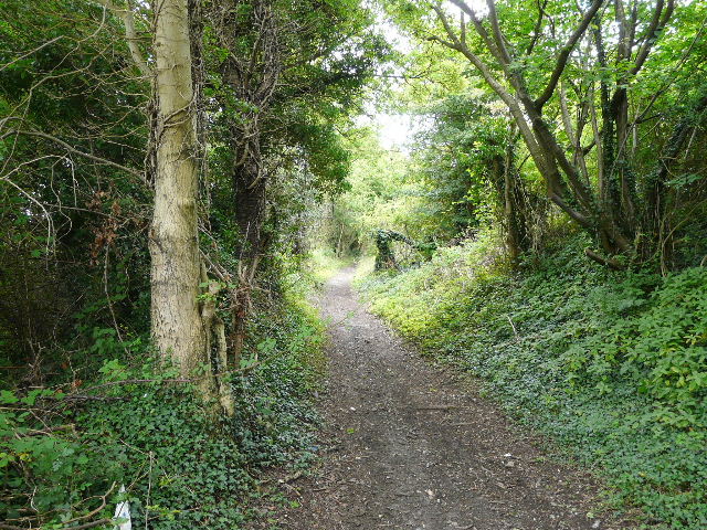
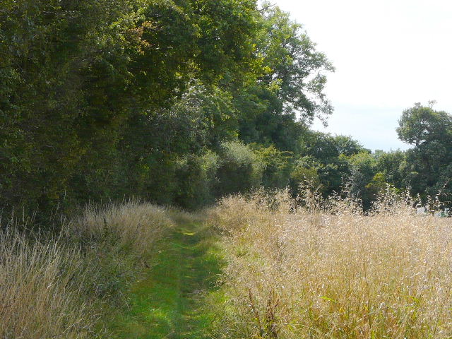
The path to Badgerdell Wood
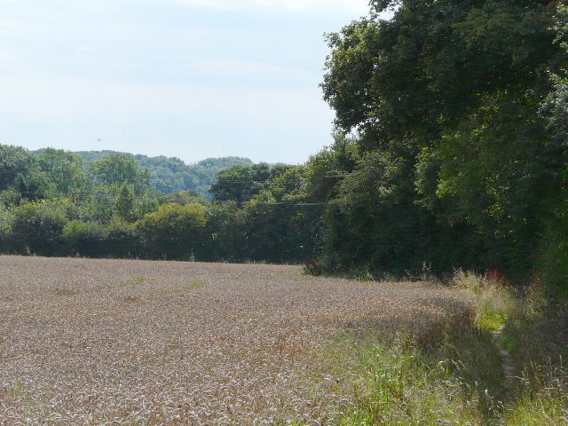
This path ran along the southern edge of the wood and then continued through the wood, along the boundary between Round Wood (which isn't!) and Badgerdell Wood. On emerging on the far side the path turned right, to head south alongside the wood with nice views ahead over rolling fields of wheat interspersed with mature hedgerows. The path then crossed a couple of such fields, before continuing alongside a hedgerow to pass a sports ground and return to Caddington via the churchyard.
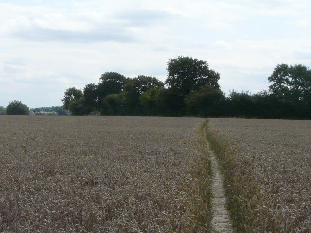
View along the path on the far side of Badgerdell Wood - you can see the path continuing through a wheat field in the centre of the photo
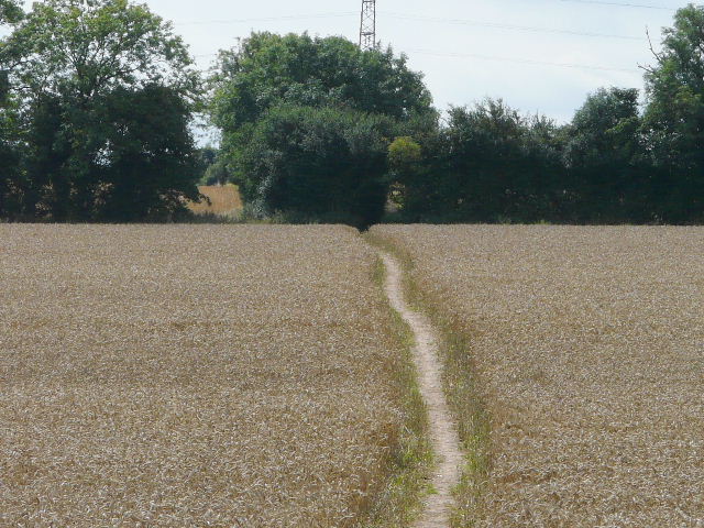
The path continuing through the wheat field
The path continuing to Caddington
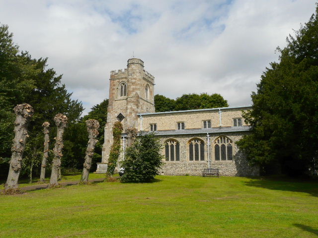
Caddington church
This first loop north of Caddington had taken about two and a half hours, a little slow for a six-mile walk. In itself it would make quite a pleasant shorter walk, despite the noise and the short rather scrappy section after Blows Downs.
I passed my parked car and headed southeast through the large village, passing first a school on my right and later a larger school on my left. Beyond the latter I emerged back into the countryside, and continued across more wheat fields to the small settlement of Woodside.
Path heading southeast from Caddington
The path continuing towards Woodside