Pete's Walks - Stockgrove, Woburn Sands, The Brickhills (page 2 of 3)
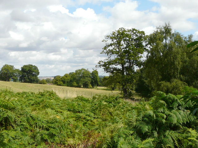
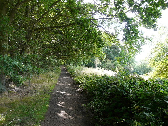
As I turned eastwards, towards the main road into Woburn Sands, things got a bit more confusing as there was a plethora of cycle tracks crossing and intersecting with the footpath, but by checking the map carefully, including the contours, I navigated myself successfully through this area. I saw several people on mountain bikes, and passed an area where many jumps and other obstacles had been set up for them (I glimpsed my second and last Muntjac deer of the day here). The footpath eventually led down the northern slope of the Greensand Ridge - I could have joined the main road and followed that into Woburn Sands, but instead turned left along the foot of the slope and then right, rejoining the byway. It meant walking two sides of a small triangle, but was much pleasanter than the road.
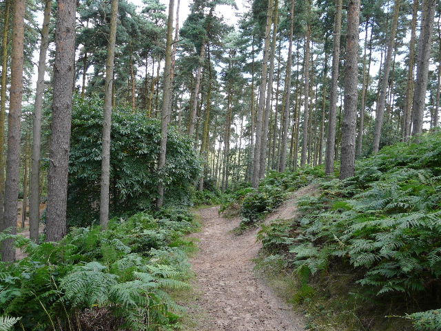
Footpath in the area full of cycle tracks
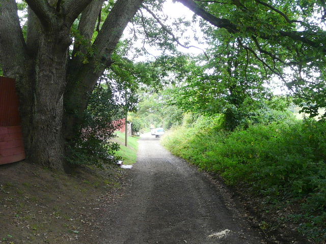
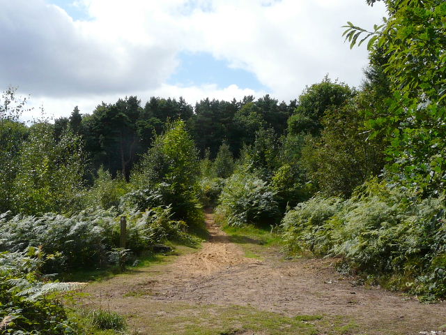
Sandy Lane, the continuation of the byway into Woburn Sands
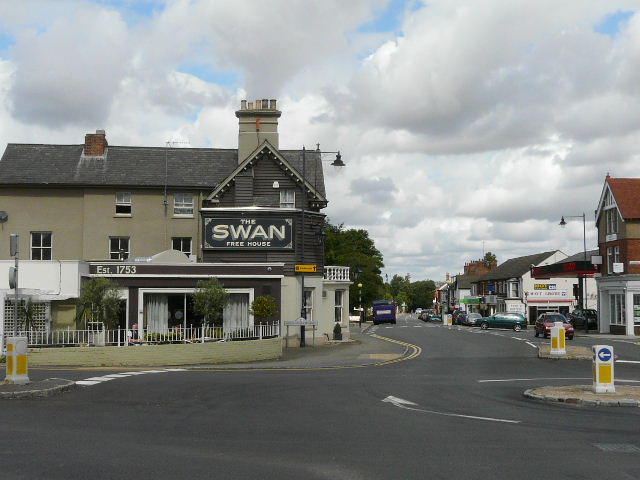
The centre of Woburn Sands
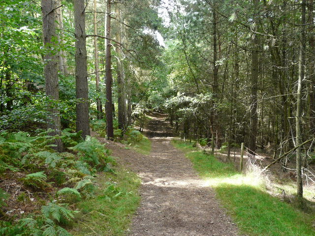
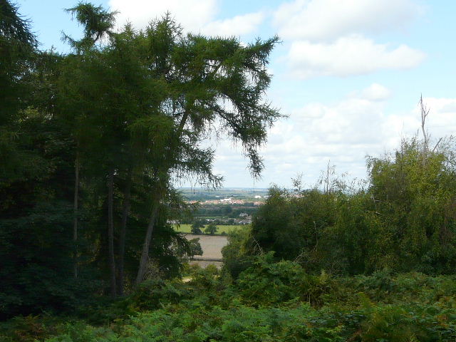
I turned left in the centre of Woburn Sands (it straddles the Beds-Bucks county boundary - I seldom knew which county I was in during this walk), and after a short distance I took a footpath on the left, which headed southwest out of the village. The path was a wide track between fences or hedges, with pastures either side. When the path reached a wood, I turned right on to a narrow path between bracken. This soon brought me to a junction where I turned left, joining another bit of the Milton Keynes Boundary Walk (I could have followed it out of Woburn Sands, but chose to try some new paths instead). In fact the next half-mile or so was one of the best bits of that long-distance path, as I headed back into the woods that cover this part of the Greensand Ridge. A couple more mountain bikers passed me, who I'd see again in Bow Brickhill.
The footpath heading back southwest from Woburn Sands
Looking back in the direction of Woburn Sands
I took a similar photo here when I walked the Milton Keynes Boundary Walk! I think this is part of Apsley Heath.
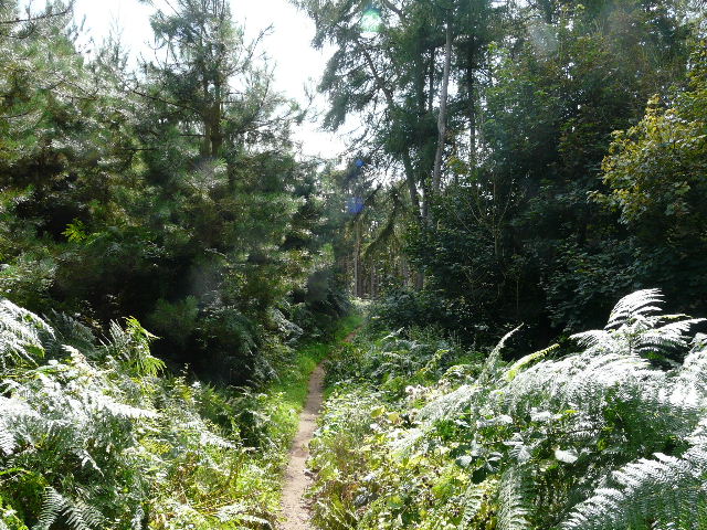
The path continuing, now in Wavendon Wood or Brown's Wood
Where the Milton Keynes Boundary Walk turned left at a major path junction, I continued straight ahead. I obviously must have gone wrong somewhere as I followed the path through the trees of Bow Brickhill Park, as when I reached the lane south of the village I was a couple of hundred yards further south than I should have been. Somehow I must have left the path and joined one of the numerous cycle tracks that were here. Anyway, it was a short walk down the lane into the village. As the lane continued steeply downhill through the houses, there was a good view ahead over the flat lands to the north of the Greensand Ridge (well, as good as any view containing Milton Keynes can be!).
The lane down to Bow Brickhill
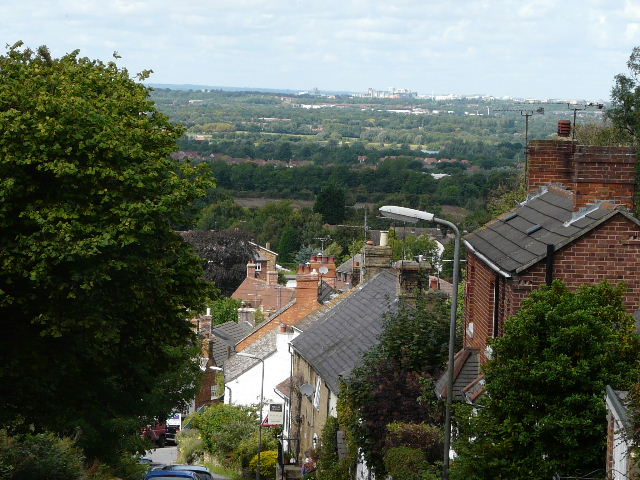
View from Bow Brickhill towards part of Milton Keynes
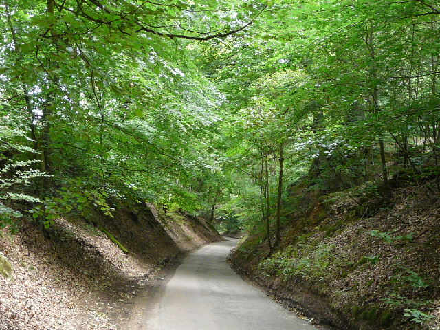
I turned left along a narrow lane, which soon ended and became a bridleway running alongside a wood, with more views over the lower ground to my right - it was a surprisingly green view, with only occasional taller buildings in Milton Keynes appearing here and there. The bridleway soon entered the woods again, and when it reached the far side I turned left, and then right at the next junction. My map is clearly slightly out of date, as the open spaces and woods are not as shown on the map, but fortunately once again the paths on the map did match those on the ground.
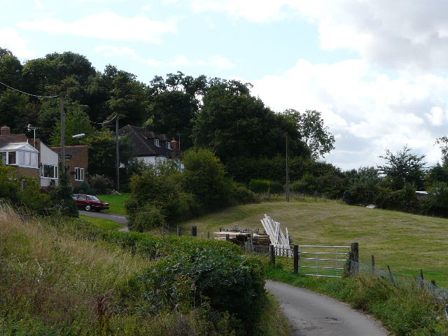
The lane out of Bow Brickhill
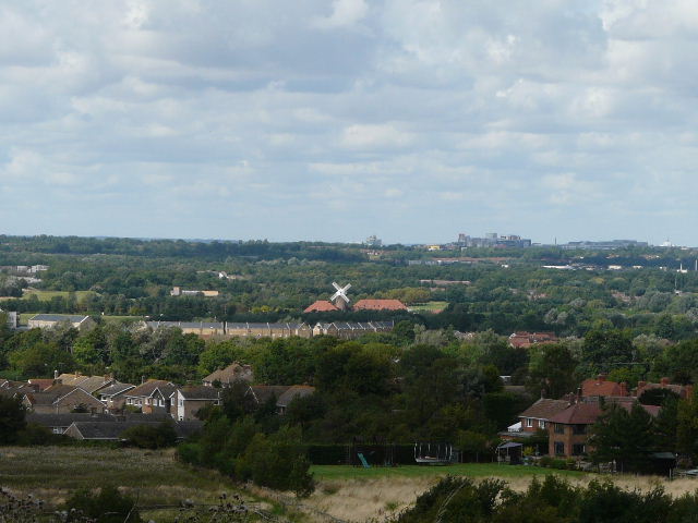
Looking out to Milton Keynes again - the windmill is actually a pub/restaurant.
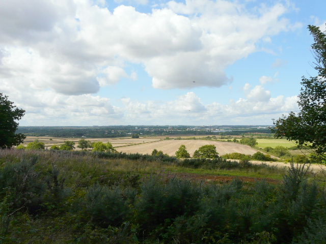
Looking out from the bridleway to the area around Milton Keynes - I think the dots in the sky are actually Buzzards, I certainly heard and saw them here
The bridleway south from Bow Brickhill
Looking west from the bridleway again
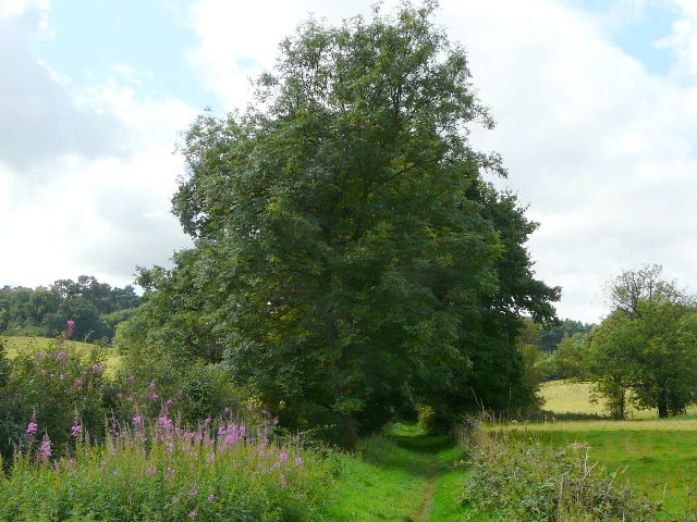
The Bridleway continuing through Downs Covert
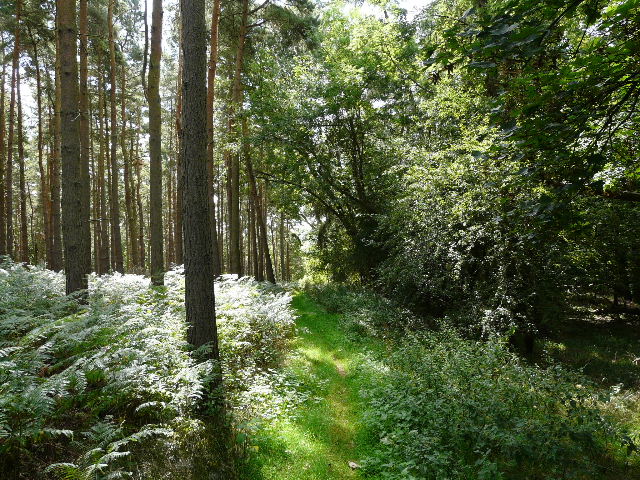
It seems a bit narrow here for a bridleway