Pete's Walks - Another 'Grand Union Canal circular walk'
I did this walk on Monday, 21st September, 2009. A couple of months ago I walked the 'Grand Union Canal circular walk, Berkhamsted-Tring' (see here). While researching that walk on the web, I came across a few hints that there was a similar walk nearby. I'd forgotten this until I recently walked the Ashridge Estate Boundary Trail again, when I spotted the familiar colourful waymarks on a path that I knew wasn't part of the walk I'd done. Having searched the web again, I could only find one site that gave a very brief route description of the 'Grand Union Canal circular walk, Hemel Hempstead-Berkhamsted'. I decided to do an exploratory walk to see if I could follow the route (relying on the scant description and hopefully the waymarks). I tacked on about 1.5 miles of the other route at the start and finish, to make it up to a 12-mile walk.
I parked at the same spot in a corner of Northchurch Common, and began by following the 'Berkhamsted-Tring' walk into Berkhamsted. But when I reached Berkhamsted Castle, I turned left (away from the railway station) and started my circuit of the 'Hemel Hempstead-Berkhamsted' walk.
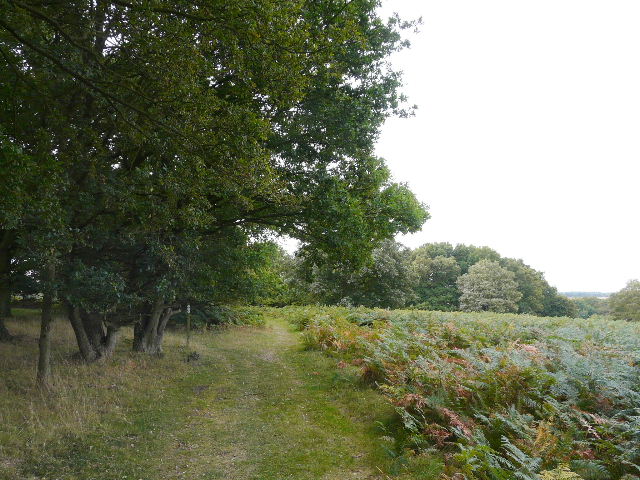
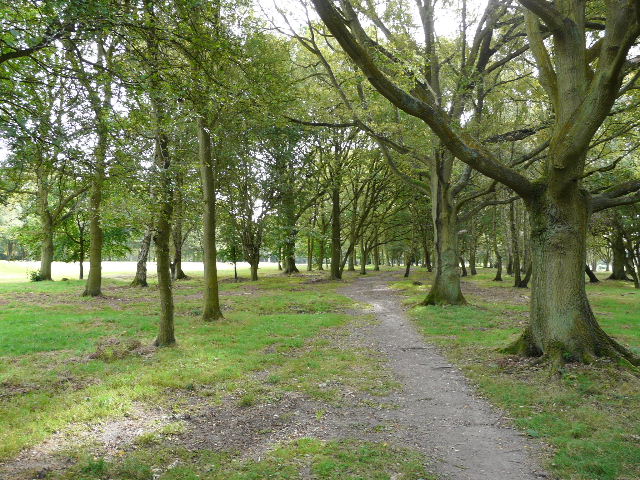
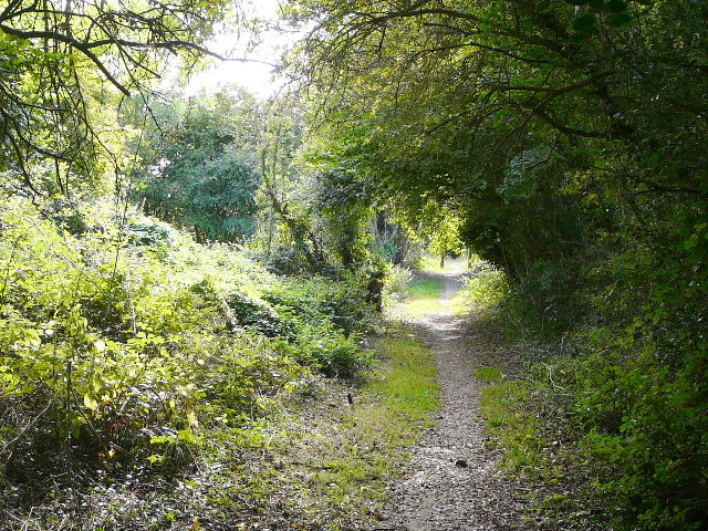
Path across Northchurch Common, part of the 'Berkhamsted-Tring' circular walk - I saw Tormentil, Common Toadflax and Lesser Stitchwort in flower around here

Berkhamsted Castle, where I started the 'Hemel Hempstead-Berkhamsted' circular walk
Where the road bent left, I went straight on along a path through the playing fields of Berkhamsted School. It continued through large paddocks to reach Well Farm. I wasn't too sure where to go at the path crossroads here (some barking dogs that ran up to me didn't help with the decision making process!) but eventually twigged that I needed to go straight on (which is always the default action when there are no waymarks telling you otherwise). My confusion came through the directions I had twice mentioning that the route passed a war memorial - I'd seen it on the map, but couldn't work out how I could get to it. In fact I discovered that the route doesn't visit it at all, and I didn't even see it from a distance! Anyway, the path I was on continued along a hedgerow, and uphill to the woods of Berkhamsted Common.
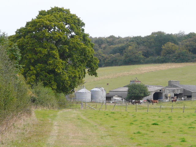
Approaching Well Farm
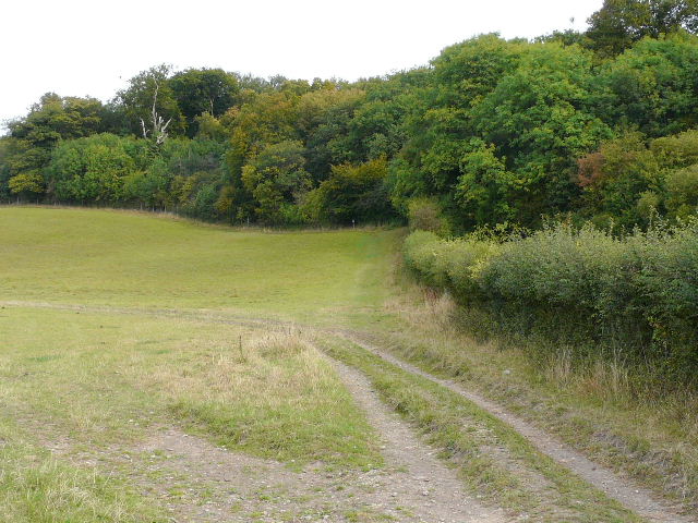
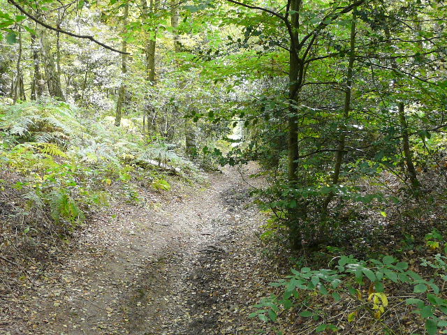
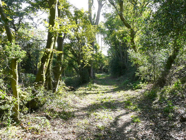
Approaching Berkhamsted Common
Fortunately the route was now well waymarked, as I crossed a number of paths on the common before eventually turning right. I was now on the route of the Ashridge Estate Boundary Trail (this was where I saw the waymarks the other day), as I followed the path through Berkhamsted Golf Course. I crossed a minor road and continued through more of the golf course. The Ashridge Estate Boundary Trail soon went left, but I continued straight on. I crossed another minor road and followed part of the ancient Grim's Ditch to eventually reach the large village green at Potten End, with its attractive pond. A few years ago I'd had lunch by this pond when I walked the Hertfordshire Way.
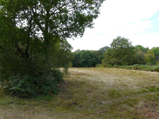
Looking back over Berkhamsted Common
Path through Berkhamsted Golf Course
Path along Grim's Ditch
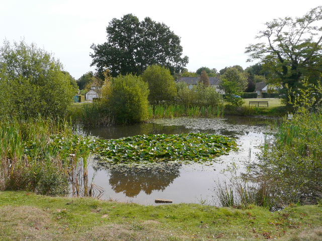
Pond in Potten End
There was then a lengthy road walk through and out of Potten End, but there was a pavement all the way - just as well, as there was a surprising amount of traffic on the road. After about a mile I reached the hamlet of Boxted where I turned right onto a path across a field of stubble - I knew where I was here as this was part of the Chiltern Way, which I'd now follow all the way to the Grand Union Canal in Hemel Hempstead. On the far side of the field (where I saw a Buzzard) I turned right for a few yards, then took a footpath on the left. This ran as a green lane between hedges for about half a mile, soon with houses of a large modern area of Hemel Hempstead on the left. At some points the hedges were mainly holly and met overhead, forming a very dark 'green tunnel'. I crossed over a major street and the path continued, now with more open areas beyond the hedges or trees either side, this being one of the 'green corridors' within the new town.
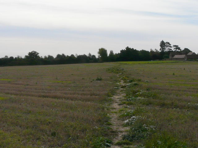
Field path in Boxted
The 'green tunnel' leading into Hemel Hempstead
This is actually in Hemel Hempstead
I eventually emerged onto a small green within a housing estate, and started to follow roads down to where I knew the canal ran, just following the route of the Chiltern Way, as there were no waymarks visible and the directions I'd had were not too helpful at this point. In fact I think they were downright wrong! They talked of turning right into Fishery Road and following it down to the canal. I did turn into Fishery Road, but immediately branched off left (this was still the Chiltern Way route) to take a lane that led to a canal bridge - the OS map clearly showed the road ran parallel to the canal and never met it. Annoyingly, the bridge did not seem to be numbered (I checked both sides). I knew the route ran along the canal from Bridge 149 to Bridge 140 (in Berkhamsted). Anyway, I turned along the canal. When I reached the next bridge, after about half a mile, it was numbered 147B (the B presumably because it was not an original bridge, as it carried a railway that must have been built after the canal). So I'd joined the canal at Bridge 148 - I should have stayed on the road a bit longer and then turned right - either the description got the road name wrong, or else there are two separate sections of Fishery Road (to be fair, the description says continuing down that road beyond the canal takes you to the station, so I could have worked out which bridge was meant by that). I couldn't be bothered to go back half a mile and correct the mistake, this had always been meant as an exploratory walk to just see if I could find the route. I'll know better next time!
(Update 29/09/09 - much of the above paragraph is rubbish! When I did this walk the other way round a week later, I saw that Bridge 148 is in fact numbered, and that the road I'd turned into was NOT Fishery Road but Chaulden Lane! I was obviously having a bad day.)
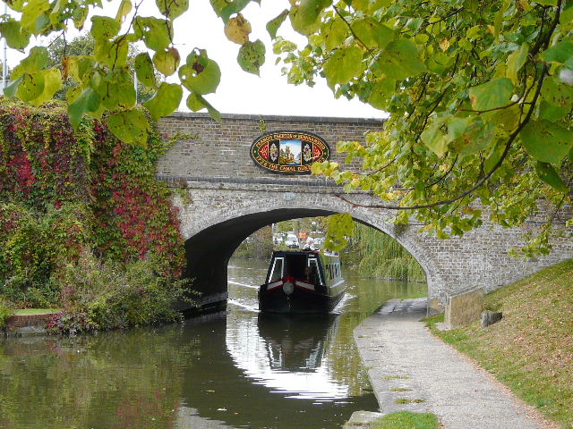
The Grand Union Canal, from what turned out to be Bridge 148
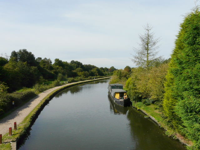
It was a very pleasant and straightforward walk for a few miles along the canal, passing Winkwell and Bourne End on the way to Berkhamsted. There were several Herons at various points along the far bank. As I was taking a picture, there was a sudden loud noise behind me, and three Mute Swans came in to land on the canal.
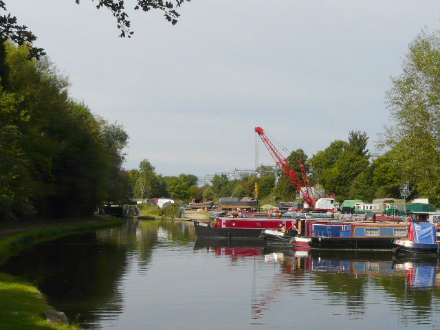
Boatyard at Winkwell

The Grand Union Canal at Winkwell
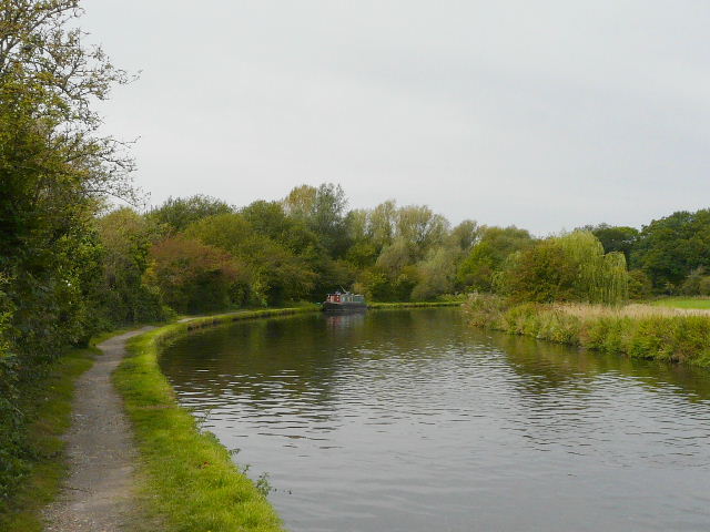
The Grand Union Canal near Bourne End
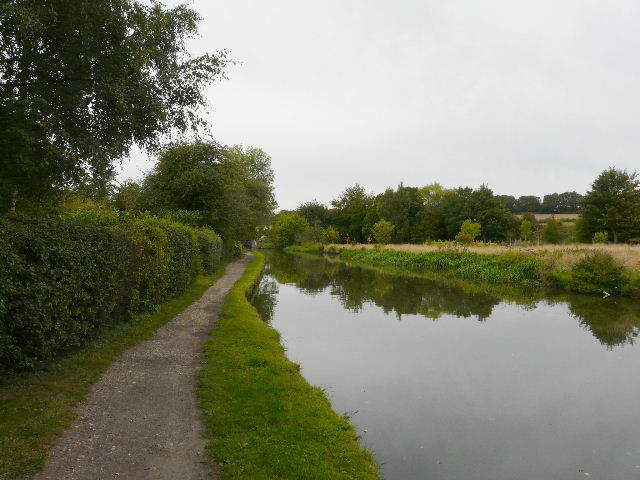
The Grand Union Canal
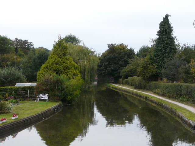
The Grand Union Canal, Berkhamsted
The Grand Union Canal, Berkhamsted
I had lunch on a bench by the canal in a park opposite the railway station in Berkhamsted (to get there, I had to go a few yards past Bridge 140 where the route turned off the canal), and then had simply to retrace the first 1.5 miles of my walk, back to Northchurch Common and my car.
(Update 29/09/09 - When I did this walk the other way round a week later, I found that the bridge where the route leaves the canal by Berkhamsted station is Bridge 141 not Bridge 140, which is at least half a mile west of the station. The directions I was following were clearly wrong in stating that the route leaves the canal at Bridge 140).
It was a pleasant walk, a nice mixture of canal towpath, field paths and wooded commons. Now that I've got the routes of both official circular canal walks sorted out, I'm thinking of doing them together sometime as a 'figure of 8' walk. It would make for quite a challenging 19-mile expedition.