Pete's Walks - Cowleaze Wood and Radnage (page 1 of 3)
If you are considering walking this route yourself, please see my disclaimer. You may also like to see these notes about the maps and GPX files.
Google map of the walkDownload GPX file of the walk
NOTE (6/11/2025): Parking at Cowleaze Wood is no longer free, there is now a cashless payment system. To see details, click here and then click on the 'Parking and prices' tab.
I did this 12.5 mile circular walk on Wednesday, 9th December, 2009.
This was my first walk in almost a month, and I was keen to follow a route I'd not done before. This was a route I'd first planned many months ago but for some reason had never got round to walking. Roughly a third of the walk was on familiar paths (chiefly parts of my Berks-Essex Walk and Chiltern Chain Walk), another third I'd only walked once before (on a preparatory walk when I was planning the route of my Chiltern Chain Walk - this section didn't get included in the final route I selected, so hasn't been described on these web pages before) and the final third was new to me. So two-thirds of the route has not been described here before.
Note: to see another description of this route, with more photos on a generally sunnier day in October 2011, see here. However as heavy rain prevented me from taking photos for the last mile or so that day, you might want to switch back to the last page of this walk for a few photos of that section.
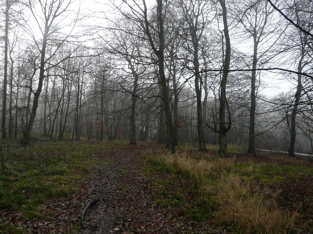
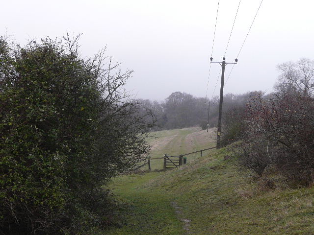
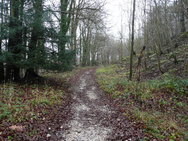
I started walking about 10am from the car park at Cowleaze Wood (Grid Reference SU726956), a few miles west of Stokenchurch. I took a short path out of the end of the car park (with the road on my right). Just south of the car park and across the road, two footpaths start quite close together - heading northwest and southwest respectively, each descending the steep Chiltern escarpment towards the Oxfordshire plain below. I have always previously taken the second, most southerly of these (this is the route of Walk 16 of my Chiltern Chain Walk) but today I took the first path instead. I was hoping that I would get similar good views as I descended as on the other path, but this was not to be. It had been sunny when I'd left home, but as I'd driven along just north of the Chiltern escarpment there had been low cloud along the hilltops on my left. So I was initially walking in a slight mist which restricted any views, but in fact the views would have been limited anyway because the first part of the descent was through a line of trees and bushes. I was passing through part of the Aston Rowant Nature Reserve, and as I neared the bottom of the slope I came across some of the few Dartmoor ponies that are used to help maintain the site.
Start of the walk, from the car park at Cowleaze Wood
Start of the path descending through part of the Aston Rowant Nature Reserve
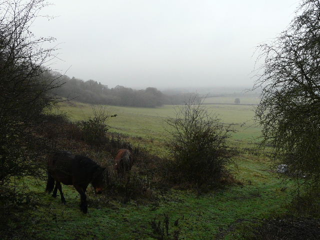
Misty view towards the Oxfordshire Plain from near the bottom of the escarpment - these Dartmoor ponies (as well as Beulah, Jacob and Soay sheep) help manage the Aston Rowant Nature Reserve, by chomping on the grasses which would otherwise crowd out rare wild flowers
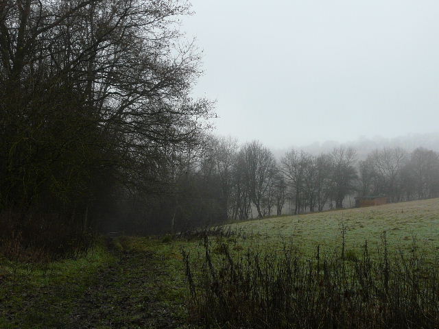
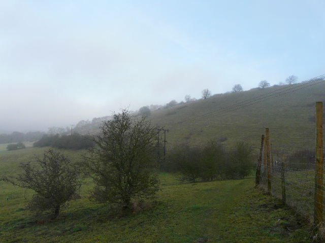
The path continued now more gently downhill, hugging a fence on my right close to the bottom of the southern side of Bald Hill, with the northern side of Shirburn Hill across the small valley on my left. I followed a fence line through a couple of large pastures, then turned half-right through Old Cricketground Plantation, before crossing a small pasture to reach the Ridgeway Path. As I went through the kissing-gate here, I remembered once seeing some bullocks apparently trying to get through it!
The path near the bottom of the escarpment, beside Bald Hill
The path near the bottom of the escarpment
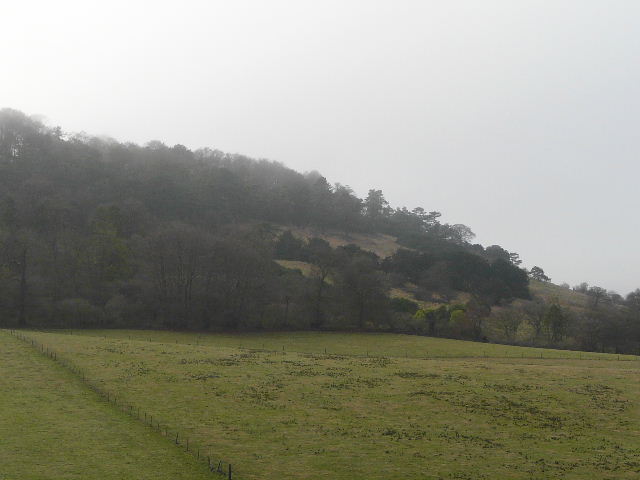
Looking across to Shirburn Hill
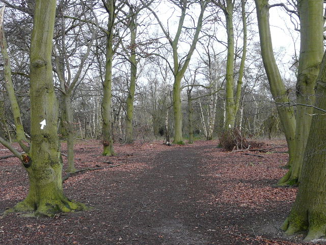
The path through Old Cricketground Plantation
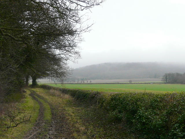
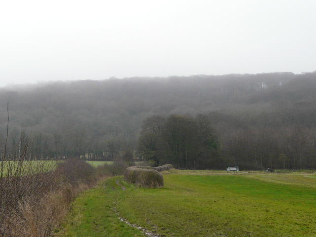
I turned right to head northeast along the Ridgeway Path, here a broad green lane between hedges - I was familiar with this section of the Ridgeway Path, having walked it both on my Berks-Essex Walk and on Swan's Way. I soon reached the bridge under the M40, and continued on to cross the A40 near Aston Rowant. After almost another half mile I turned right, leaving the Ridgeway and following a bridleway that headed back to the escarpment (here heavily wooded). After passing between hedges separating two fields, the bridleway entered Aston Wood and climbed steadily up Aston Hill. The gradient wasn't too steep, though there was a short section that I thought was surprisingly steep for a bridleway. Near the top of the hill I reached the A40, where I was pleased to see a safe (and well-used) verge to walk on. I went left along the main road for less than a quarter of a mile, before turning left on to the road that goes down to Kingston Blount (I'd driven up it earlier on my way to Cowleaze Wood). After a couple of hundred yards the road turned left to descend the escarpment, but I continued ahead on a bridleway.
The Ridgeway Path, approaching the M40
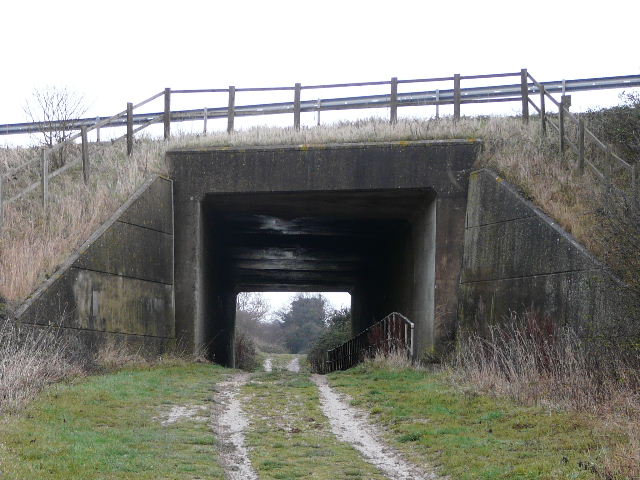
The bridge under the M40
The Ridgeway path, near Aston Rowant
The bridleway heading southeast from the Ridgeway towards Aston Hill
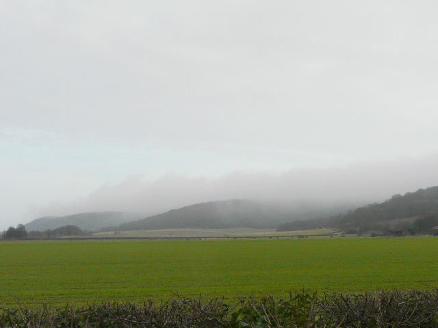
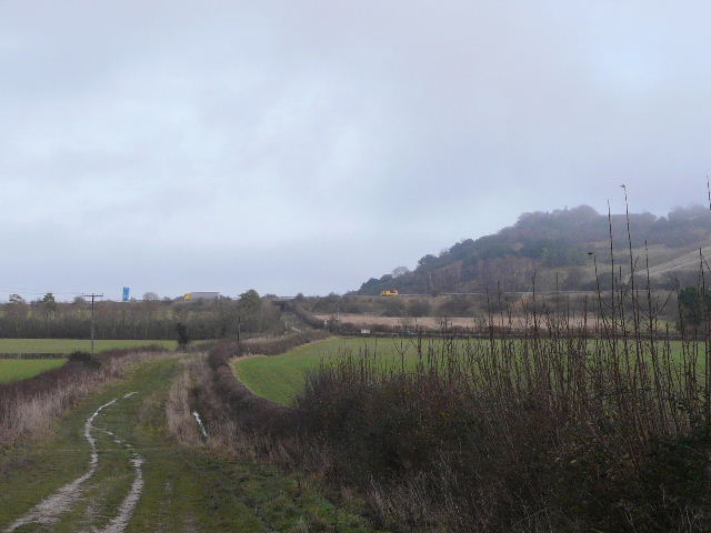
From the same spot, looking northeast along the wooded Chiltern escarpment towards Chinnor
The path through Aston Wood, nearing the top of Aston Hill
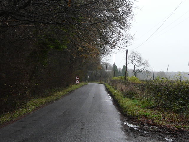
The short road walk from the A40 (the road goes down to Kingston Blount)