Pete's Walks - Kensworth and Totternhoe (page 2 of 2)
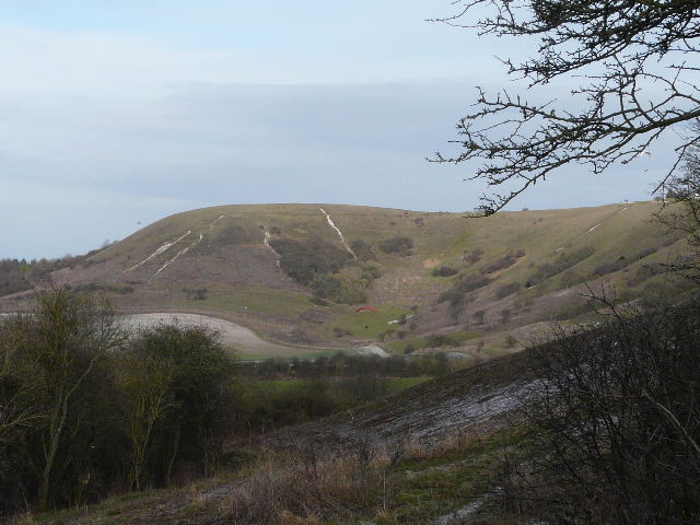
I made my way to the top of Totternhoe Knolls, a prominent spur dominating the surrounding countryside surmounted with the remains of a Norman 'Motte and Bailey' castle (this one actually had a triple Bailey, and the boundaries of all three are still visible). Again, in the clear weather the views from the top of the Motte were very good today.
Near the quarry at Totternhoe where they extract Totternhoe Stone (external link opens in new window)
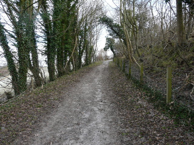
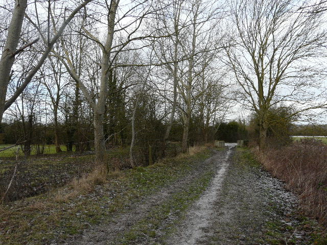
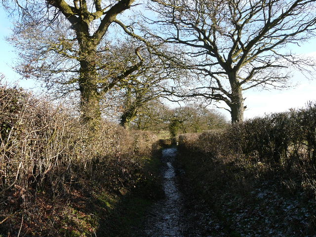
The path up to Totternhoe Knolls
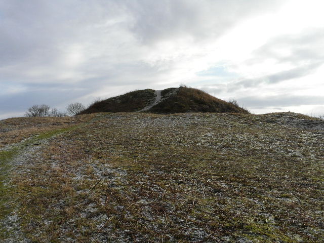
The castle 'Motte' at the top of Totternhoe Knolls
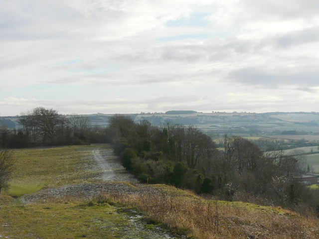
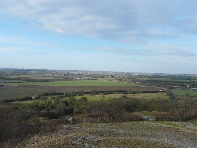
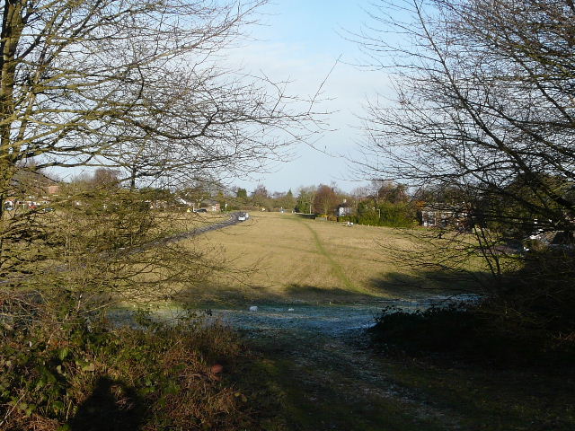
Looking back towards the Dunstable and Whipsnade Downs
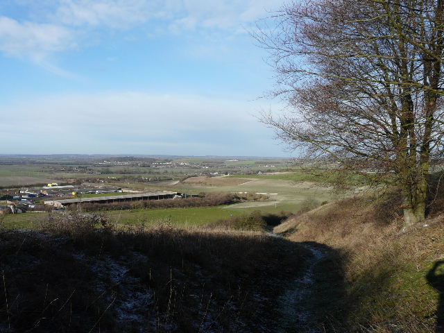
Looking north, towards Leighton Buzzard
As I made my way back southwards along the top of Totternhoe Knolls, I was suddenly stopped in my tracks. About 50 yards ahead of me was a Muntjac Deer, obviously unaware of my presence. I was standing in an open space, in plain view, but it was looking the other way for most of the 2-3 minutes that I watched it. Even then it only ambled off slowly, so it had still hadn't scented or spotted me. I managed to take several photos, and finally got a half-decent shot of a male Muntjac.

A male Muntjac Deer, Totternhoe Knolls
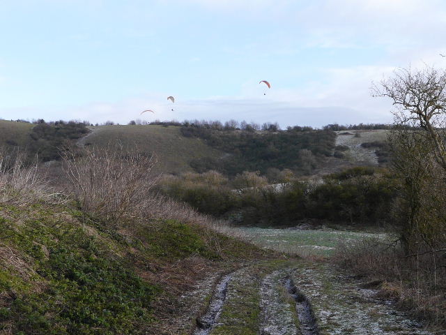
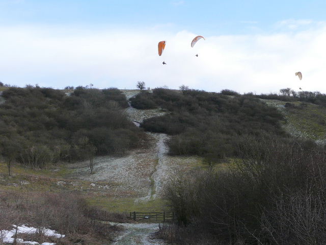
I walked through part of the village of Totternhoe, and took Wellhead Road heading back towards Dunstable Downs. The skies above the downs were very busy, with at least seven Paragliders, a couple of Hang-gliders, a large Kite, and the gliders from the gliding club (plus the two small planes that tow them up). At the end of Wellhead Road I crossed the main road (from Dunstable to Tring) at the foot of the downs, and continued on along a footpath beside the gliding club (to my right). I then turned right along the foot of the downs and made my way to Bison Hill.
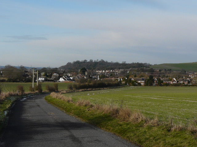
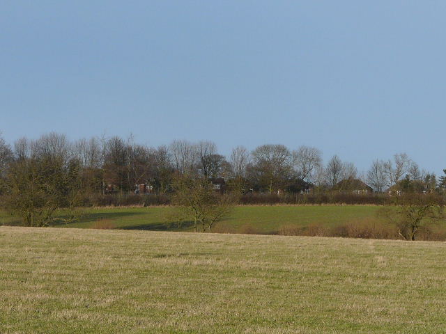
Looking back to Totternhoe and Totternhoe Knolls, from Wellhead Road
Wellhead Road, heading towards Dunstable Downs
The path beside the gliding club, approaching Dunstable Downs
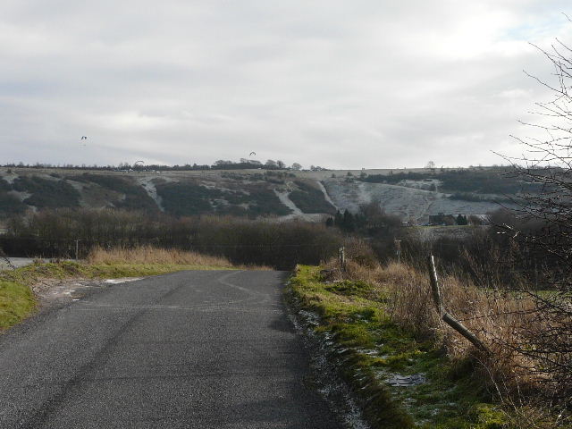
The end of the path beside the gliding club. I didn't take the steep route straight up here (bit tough on my dodgy knees nowadays) but turned right along the foot of the downs
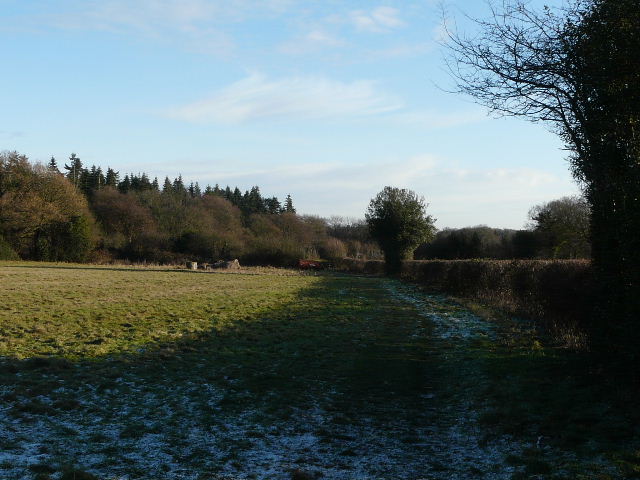
Looking back along the foot of Dunstable Downs
View from a path junction on Bison Hill
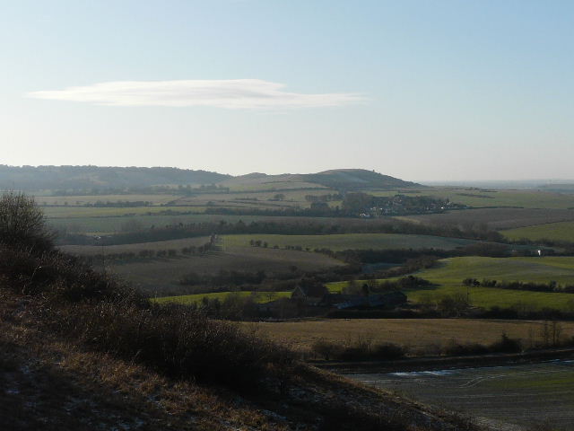
Ivinghoe Beacon from Bison Hill
I had lunch at the usual spot by the car park on Bison Hill, then made my way to Whipsnade. I continued on to Holywell, and took the usual route home along Dovehouse Lane and the Whipsnade Road.
The path from Bison Hill to Whipsnade
Whipsnade
The path from Whipsnade church to Holywell
Looking towards Kensworth, from the path between Dovehouse Lane and the Whipsnade Road
The walk took almost five hours, which was a little slow. I think I'm slowing down a bit in my old age, I need to do some longer walks - it seems ages since I did a 17+ mile walk. I enjoyed this route as always, and it was much nicer walking on frozen ground than on the mud that I'd been expecting (the only muddy bit was on the path from Bison Hill to Whipsnade, though curiously it wasn't the very short bit that can be almost impassably muddy at times). I like to do this route in the early summer when I can try to see as many wildflowers as possible - obviously there weren't any about today, but as I went along today I enjoyed remembering where I'd seen different flowers in the past.