Pete's Walks - Kensworth, Flamstead, Gaddesden Row (page 2 of 2)
At the end of the path, I reached a junction with hedge-lined track where I turned right - I was joining part of the Chiltern Way, with Gaddesden Row school a short distance to my left. After just a few yards, the path went right and crossed a snow-covered meadow - it passed the corner of a wood on the right, then followed the edge of a wood on the left. I then turned left for a short distance along a road, before turning right along a drive to a cottage. The path continued beside a hedge, then crossed a field to reach a wood called Yewtree Spring, which rather curiously has various jumps and obstacles for horses laid out within it. Beyond the wood, the path turned right to reach Wood End Lane. Here I went left for a quarter of a mile, before taking a path on the left that led down into a valley just west of Trowley Bottom (I could see Flamstead again, on top of the hill opposite me).
This path junction, where I joined a section of the Chiltern Way, was the closest I got to Gaddesden Row (about 200 yards northeast of the village school)
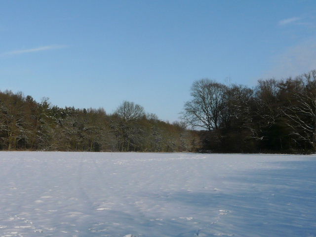
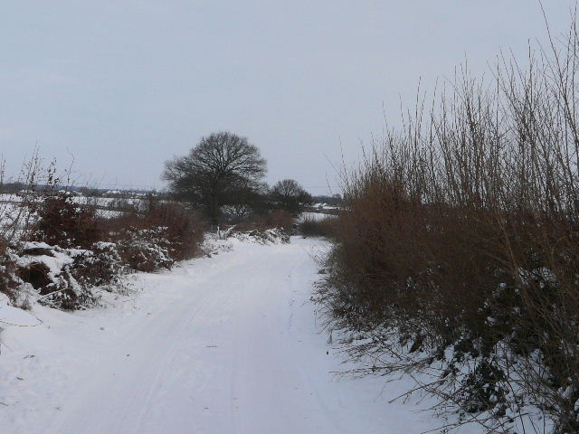
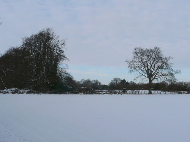
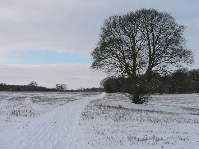
The Chiltern Way crosses this meadow diagonally, between Newland's Wood (left) and Abel's Grove
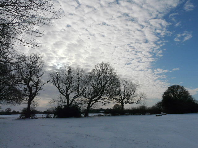
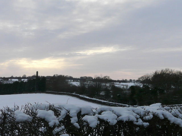
Interesting sky from the edge of Yewtree Spring
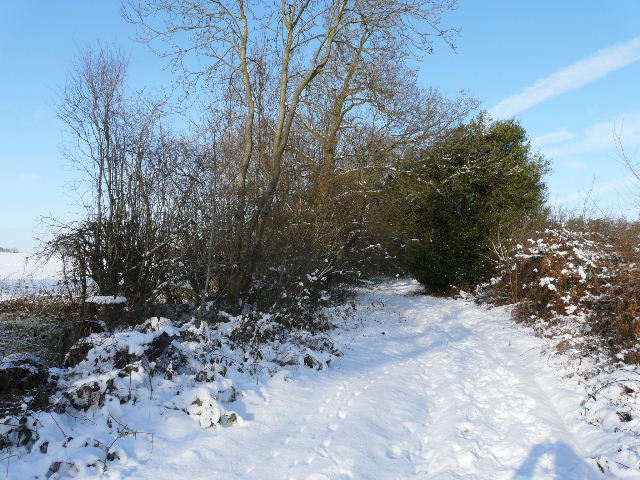
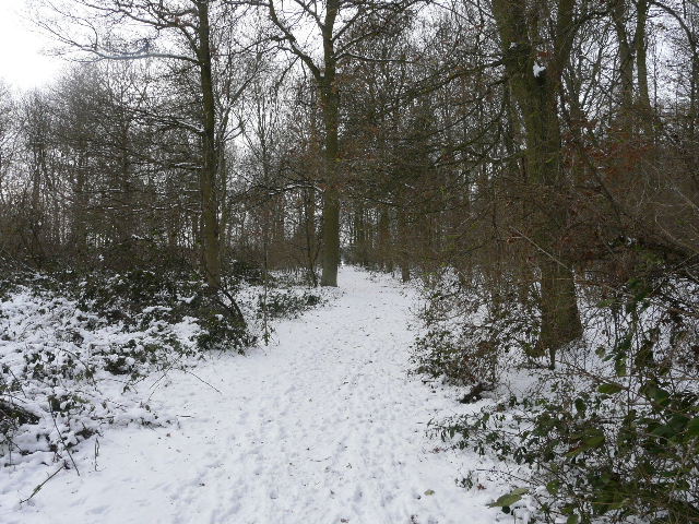
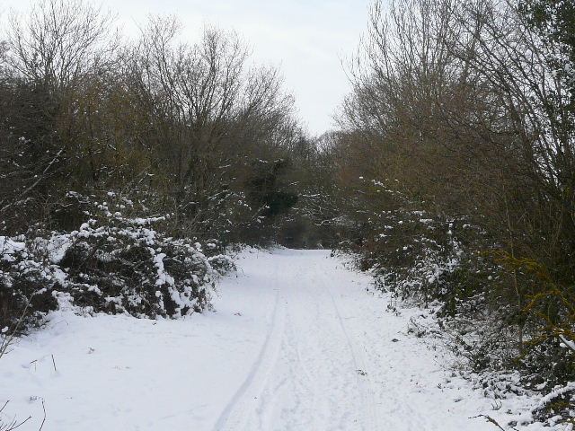
Footpath through Yewtree Spring
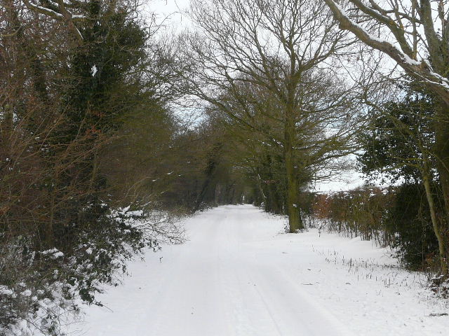
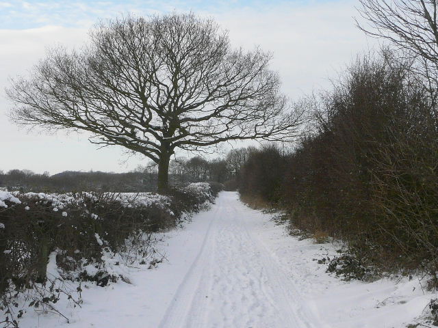
Wood End Lane
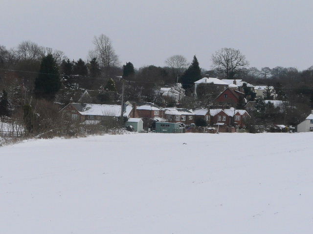
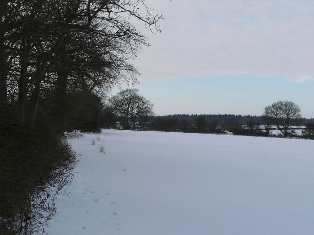
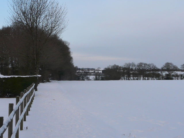
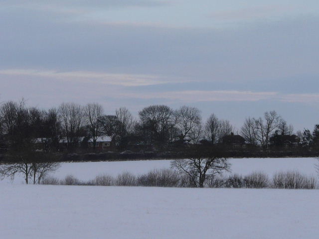
A close-up of Trowley Bottom, which was over to my right
I turned left along a bridleway along the valley bottom. It ended at a corner of a lane, where I stopped to eat my lunch seated on a large log (this is where I usually stop on my Kensworth-Redbourn walk, the route of which I'd now be following all the way home). I then turned right, following the lane uphill to a crossroads where I turned left into Friendless Lane. After a few hundred yards, a footpath went left through Friendless Wood. It continued by turning right alongside the edge of the wood, then going on through two more fields - it was running parallel to Friendless Lane a short distance to my right. The path then went across part of a field of stubble to a hedge corner, continuing with the hedge on the left. It went right in the next corner for a few yards, before going through a gate and following a tall hedge on the left through two paddocks. I then turned left along Friendless Lane, soon reaching its end at a T-junction at Cheverell's Green.
Friendless Lane
Path through Friendless Wood
The path parallel to Friendless Lane, heading towards Cheverell's Green
I went a few yards right, then took a path on the left that led through a small meadow. Beyond this I turned left and followed the hedgerow on my left to the next field corner, where I went through a kissing-gate and continued beside another hedgerow to reach Roe End Lane. Here I turned right, and at the end of the lane I took the 'public byway' that is its continuation. A Land-Rover had just been along the byway, so walking was easier here as I could just follow its tracks.
The path from Cheverell's Green to Roe End
The 'public byway' from Roe End - it is a continuation of Roe End Lane, and is called so on the map
The 'public byway' that is Roe End Lane
From the 'public byway', looking across towards Studham Common - the byway turns sharp left to run behind the hedge in the middle of the photo, but I would not be going that way today
Shortly before the byway turned sharp left towards Studham Common, I took a path on the right that went through a triangular area of trees. I turned right on the far side of these trees and entered a field, where I immediately turned left and continued ahead through the edge of Byslips Wood to reach Byslips Road. I turned left for a hundred yards or so, then took a path starting immediately before the first house on the right, which soon entered a huge field. I was worried that I'd be walking through deep snow here, but there was a clear well-walked track as far as the corner of a small wood, and then as I made fresh tracks across the larger section of the field (beyond the wood) the snow was only a couple of inches deep. After this huge field. the path continued through a small wood on the edge of Holywell. Beyond the wood I turned right, and followed a path beside garden fences down to a valley bottom. Here I went right at a path crossroads and immediately came to Buckwood Lane. A few yards right I turned into Dovehouse Lane and followed it uphill. By a brick building on the right (Short grove Manor Farm), l took a path on the left which went through two fields to reach the road from Kensworth to Whipsnade, where I turned right to return to the start of the walk.
Near the start of the path from Byslips Road to Holywell
From the edge of Holywell, looking north towards Kensworth
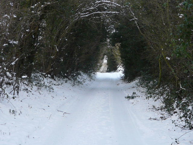
A snowy Dovehouse Lane - this section of the lane is like a green tunnel
Almost home - looking towards Kensworth from the path from Dovehouse Lane to the Whipsnade Road
I was a little surprised to discover that I'd walked just over 15 miles (according to Google Maps), but then the walk had taken almost six hours. I had really enjoyed it - I do like walking in these wintry conditions, as long as I'm wrapped up warm and don't have to plough through too much deep untrodden snow. I'd kept pleasantly warm today, but it was very noticeable how much colder it was in places exposed to the bitingly cold wind. It ended up being a new route for me today, although entirely on paths I've walked before (a short section near Upper Wood Farm I'd only walked once before).