Pete's Walks - Walk from Maidensgrove (page 3 of 3)
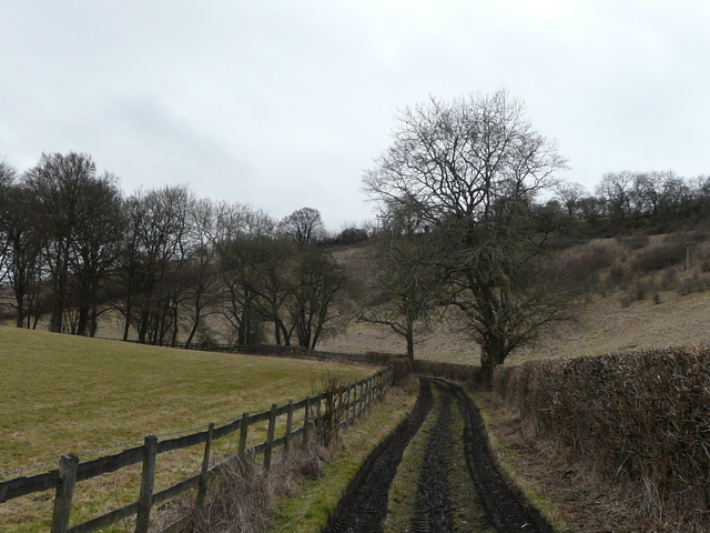
I followed a track continuing in the same direction as I'd been heading before, along a valley bottom. I went straight on where the Chiltern Way turned left (at a slightly staggered path crossroads). After another half a mile or so (having passed an unsignposted junction where a bridleway went left), I reached another junction where I turned right, rejoining the Chiltern Way as it made its way uphill to the village of Russell's Water. I turned left to reach the large pond that gives the village its name (it once belonged to a blacksmith called Russell). I turned right, passing behind the pond, and then took a bridleway going left and then right between houses, that took me out to the edge of the huge grassy expanse of Russell's Water Common (my car was about a mile away at the other end of the common).
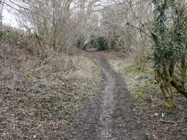
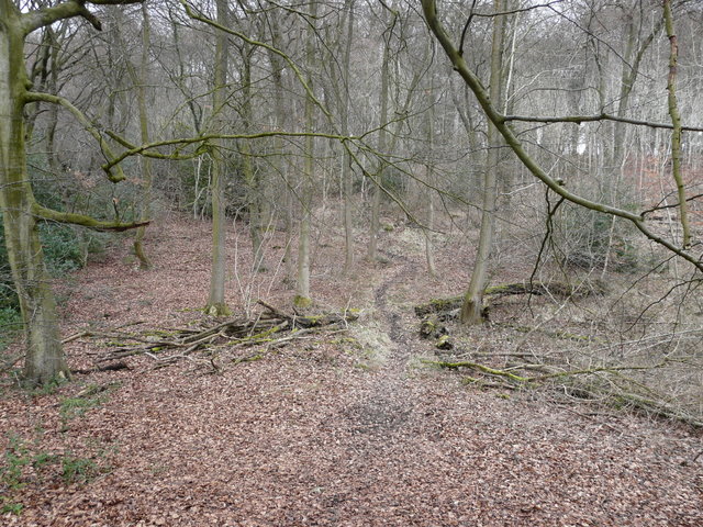
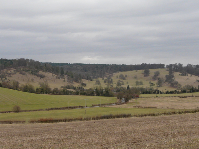
Track through Upper Bix Bottom
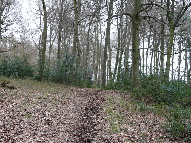
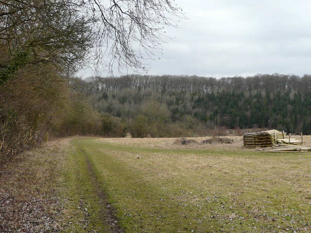
The bridleway to Russell's Water
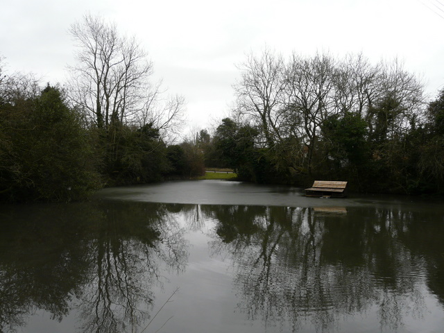
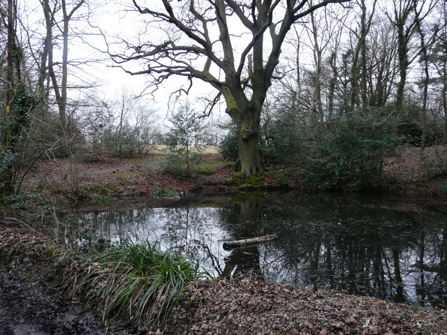
The pond that gives Russell's Water its name
I turned left along the edge of the common. In a corner (note: exactly in the corner, not the path a few yard further to the right) the path entered a wood and descended gently through the trees to reach the minor road running through the valley of Pishill Bottom. I was pleased to see that across the road there was now a permissive path, cutting off a small corner of the Chiltern Way and avoiding a short road walk. The path led uphill quite steeply through the trees (mainly beech and holly hereabouts) of Shambridge Wood, soon reaching a junction where I rejoined the route of the Chiltern Way as I turned right. The next mile or so was very pleasant, as I followed the up-and-down bridleway through the adjoining Shambridge, Greenfield and College Woods, a section I remember fondly from my two Chiltern Way walks. The bridleway soon dropped into a small valley and rose up the other side. It then gradually dropped down into another valley (another bridleway went left at the bottom), and then climbed up the other side. It then turned right, gradually descending for about a third of a mile to another valley bottom (where again a bridleway went left), before going more steeply up the other side.
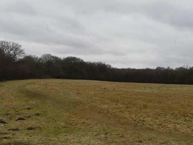
Part of Russell's Water Common
New permissive path across the road in Pishill Bottom
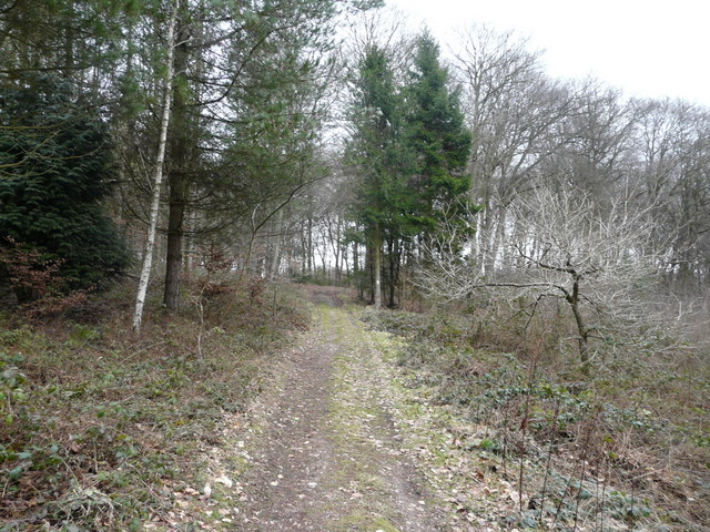
Where I rejoined the Chiltern Way in Shambridge Wood
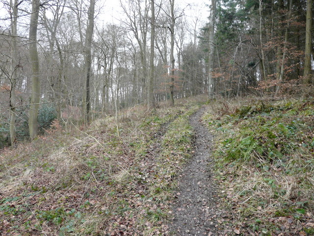
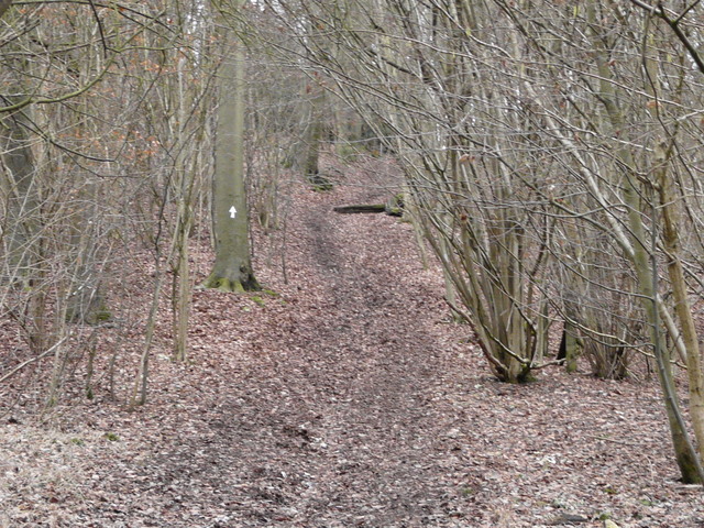
Path through Greenfield Wood
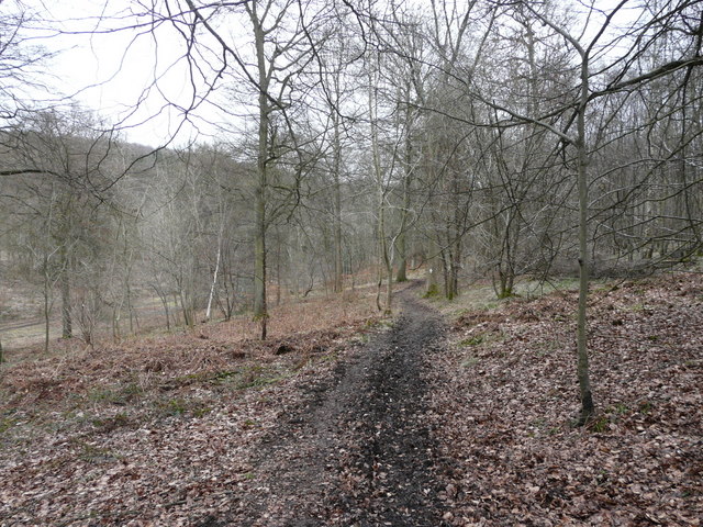
Path through Greenfield Wood
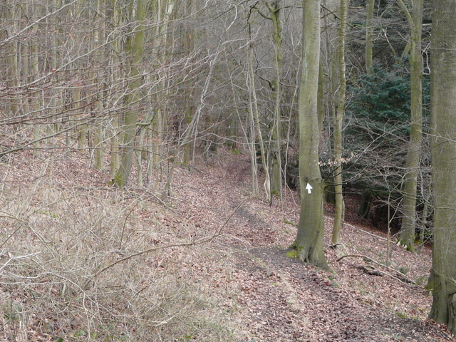
Path in College Wood
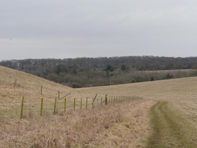
As I neared a stile (update: now a metal gate) on the northern edge of College Wood, I reached a path junction where I turned sharply right, leaving the Chiltern Way for the Oxfordshire Way (the next section was also part of Walk 17 of my Chiltern Chain Walk, a walk I've done a few times now but usually in the opposite direction). The path ran fairly level for a while before descending gently through the wood, and then ran for some distance along a valley bottom through a huge empty meadow or pasture to reach the road through Pishill. I went a few yards right, then took a lane on my left, passing the church and admiring the view to my left towards Stonor.
The Oxfordshire Way in College Wood
The path from College Wood to Pishill
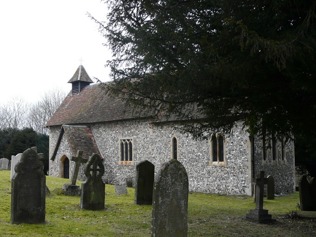
Pishill church
Looking towards Stonor from near Pishill church
The lane soon became a drive, and shortly after I took the left-most of two bridleways going off on the left (the other initially runs parallel to the drive). The bridleway followed a hedge on my left, descending another valley and then climbing steeply uphill through yet another wood on the far side. Coming at the end of the walk, this steep climb was a bit of a struggle, I really am hopelessly unfit. After the slope had flattened off, I turned right on a path I'd not used before (the OS map shows this as a path crossroads, in fact the path on the right is maybe a hundred yards past where the path on the left comes in), which soon led to a drive through some of the residences of Maidensgrove. I passed a small pond, and then at the end of the drive turned right to follow a lane across a small corner of the huge common to return to my car.
The path from Pishill to Maidensgrove
A steep climb through the trees back to Maidensgrove
Small pond at Maidensgrove
There had been a few more flakes of snow two or three times during the walk, more falling as I set off for home (there had been much more snow back in Kensworth, apparently, though it hadn't settled). But I never felt cold (yet again I have to say how much I like Paramo's outdoor clothing!) and really enjoyed the walk, despite the grey and overcast conditions. It was an enjoyable route, with lots of small ups-and-downs as I crossed numerous typical Chiltern valleys and lots of sections through woodland. The walk could easily have been shortened at a couple of points, if I'd so wished. There were numerous close sightings of Red Kites, and I spotted a couple of Buzzards too. Unusually, this was the second walk in succession where I have come across Alpacas, there being two in a small paddock somewhere near Shepherd's Green.