Pete's Walks - Pitstone Hill and Wigginton (page 2 of 2)
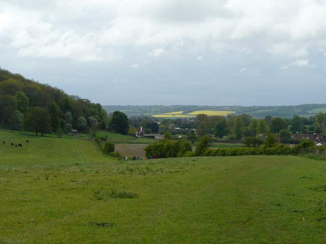
At Cow Roast I crossed a road, the Grand Union Canal and then the railway line to reach Norcott Court Farm. It was then a pleasant path across meadows and then uphill through a wood (more Wood Anemones and Lesser Celandine) to reach the hamlet of Tom's Hill. I followed the short lane from there to a hairpin bend in a minor road, and took the path downhill to Aldbury (I spotted a Muntjac here, I seem to see one on most of walks at the moment!).
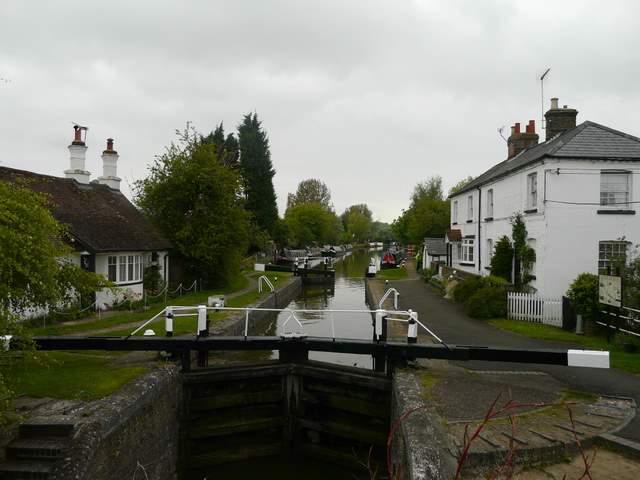
Grand Union Canal at Cow Roast
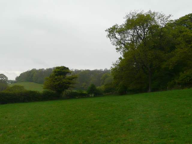
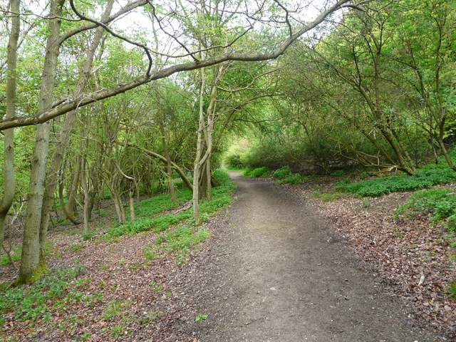
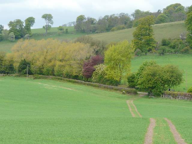
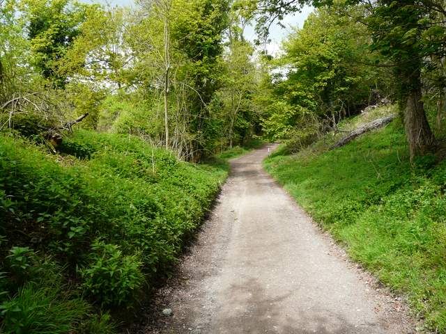
Near the start of the path from Norcott Court Farm to Tom's Hill
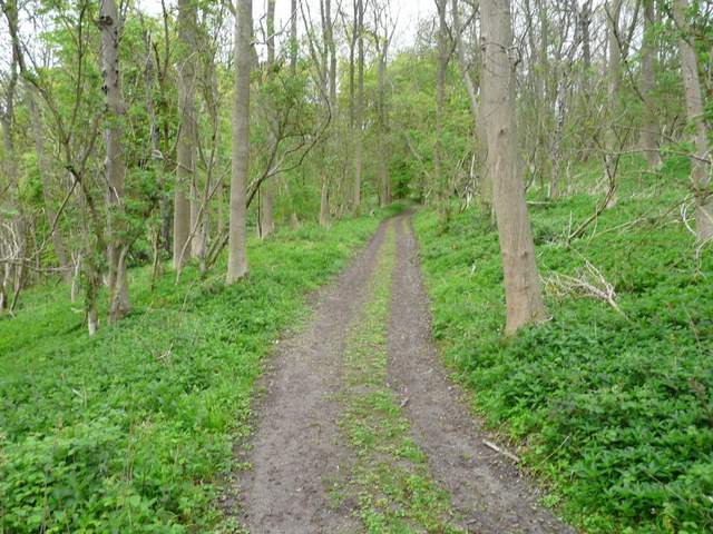
The path to Toms' Hill
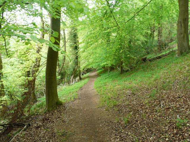
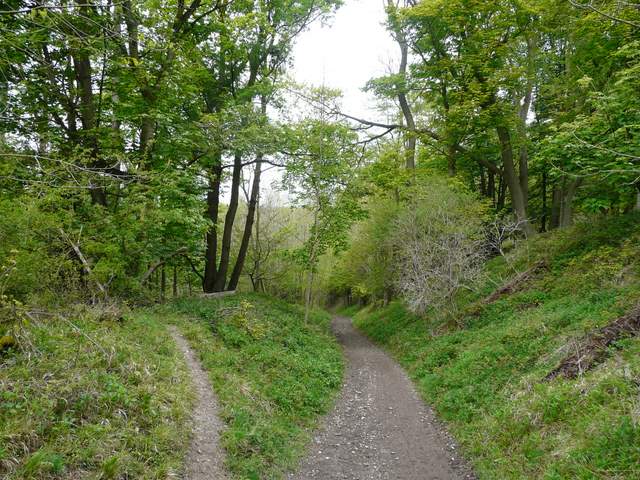
Path down to Aldbury from Tom's Hill
I passed through the village allotments and along a street of old cottages to the centre of the village, which was unusually quiet on this very grey morning. After the obligatory photo of the duck pond, whipping post and stocks, I started up the steep path towards the Bridgewater Monument at Ashridge. I forked left a few hundred yards short of the monument, taking a bridleway that contoured along the hillside through the trees for some distance. As I passed some cottages just below the Monument, I was pleased to see a lot of Cuckooflowers growing - I'd seen them here a couple of years ago, but in much smaller numbers.
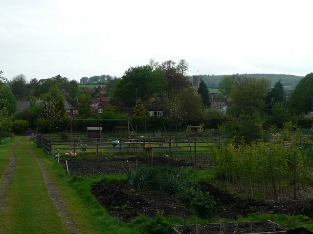
Aldbury allotments
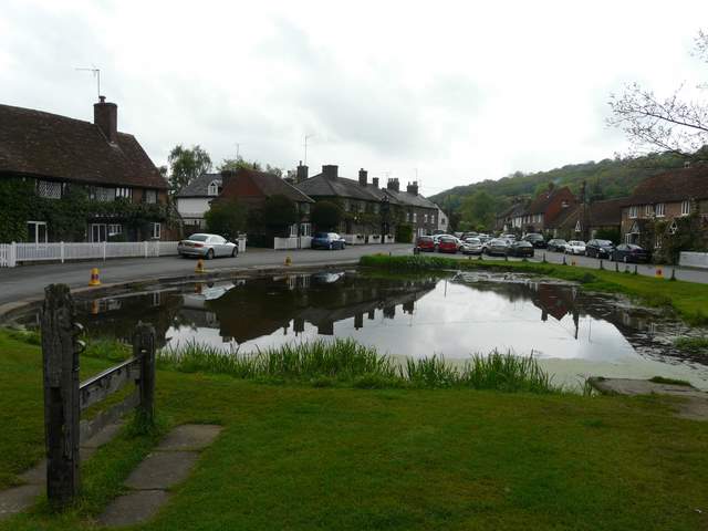
Aldbury
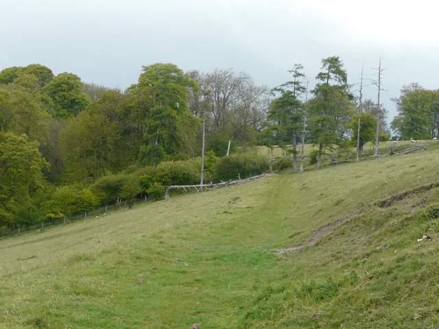
The bridleway just below the Bridgewater Monument at Ashridge
The bridleway then went downhill and out of the trees of Ashridge. Near the foot of the slope, I turned right on a path across a couple of fields, then took a path rising back uphill fairly gently, over Clipper Down. Generally it seems to have been a good year for Cowslips, but here they were in far fewer numbers than I remember seeing a couple of years ago.
The bridleway just starting to descend from Ashridge
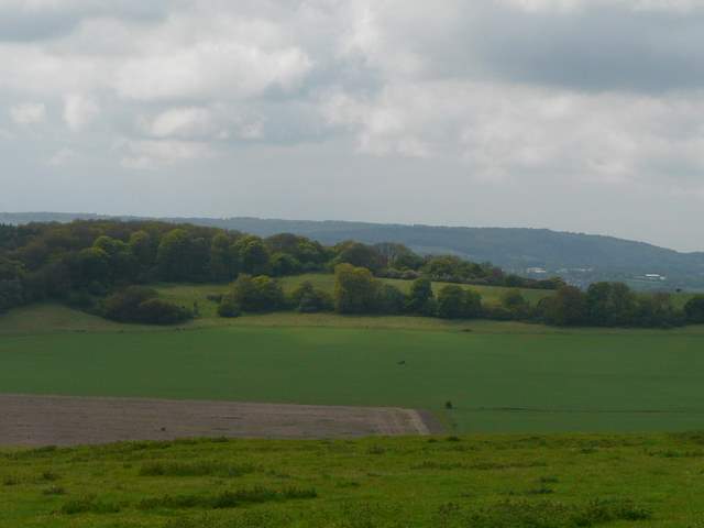
Looking towards Aldbury, from the bottom of the slope where the bridleway leaves the woods of Ashridge
Path to Clipper Down, near Duncombe Farm
Path up Clipper Down
I reached the main track from the Monument to Ivinghoe Beacon near the kennels on Clipper Down, but only followed it a short distance to the left before taking a path that forked left, downhill and out of the wood s again. This took me back to the Ridgeway path, at the foot of Steps Hill, where I turned left to return to the car park.
Aldbury Nowers from Clipper Down
The main path from the monument to Ivinghoe Beacon, just after the kennels on Clipper Down
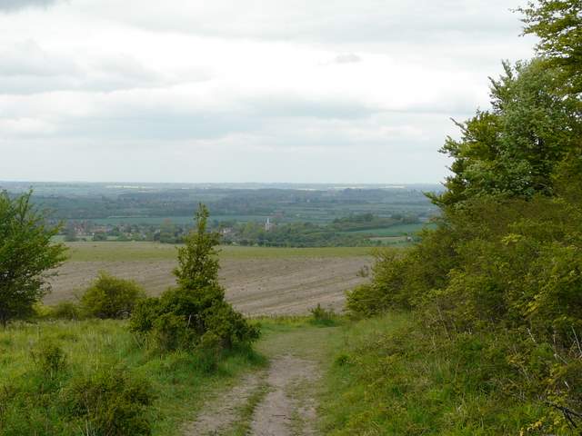
The path descending to meet the Ridgeway path - the view ahead is towards Ivinghoe and the Vale of Aylesbury
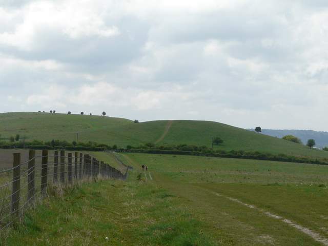
The Ridgeway heading back to the car park, with the hillock (right) and Pitstone Hill beyond
It was only 1.05pm - I took my packed lunch back home with me so I could have a cup of coffee with it. I'd expected the walk to take about four and a quarter hours (in fact, checking back, the last time I did this walk it took me four hours and ten minutes), but it had only taken three hours and fifty minutes. I certainly hadn't felt liked I'd walked faster than usual, so I think it was simply because I took far fewer photos in the fairly murky conditions.