Pete's Walks - Coombe Hill, the Hampdens, Bacombe Hill (page 1 of 3)
If you are considering walking this route yourself, please see my disclaimer. You may also like to see these notes about the maps and GPX files.
Google map of the walkDownload GPX file of the walk
I did this roughly 12-mile walk on Saturday, 17th July 2010.
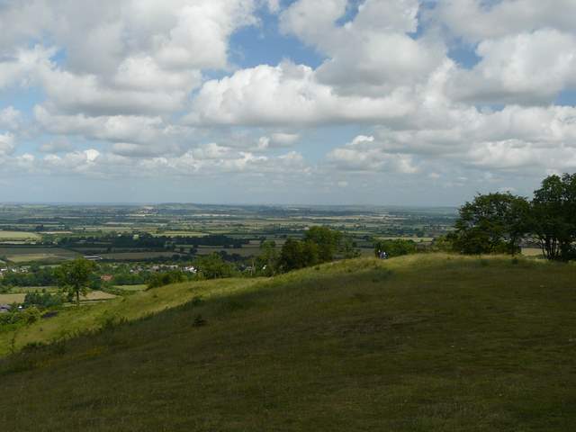
I started walking about 9.20am from the car park at Coombe Hill (grid reference SP 852063). Instead of heading for the monument, I took a short path going left from the gate by the entrance to the car park, then after a few hundred yards turned left through a metal kissing gate to join the Ridgeway path (I would now be following its signs and white acorn symbols as far as Whiteleaf Hill). This ran through beech trees a short distance to return to the road to the car park. I went a short distance right, then continued along the Ridgeway on the other side. I continued through more beech woods (Linton's Wood then Goodmerhill Wood, according to the OS map) for about half a mile, before the Ridgeway turned right and headed downhill to reach the hamlet of Buckmoorend. Here I crossed another road and entered the grounds of Chequers, the Prime Minister's country estate.
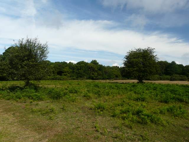
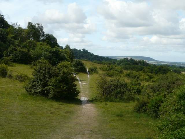
Coombe Hill, near the car park
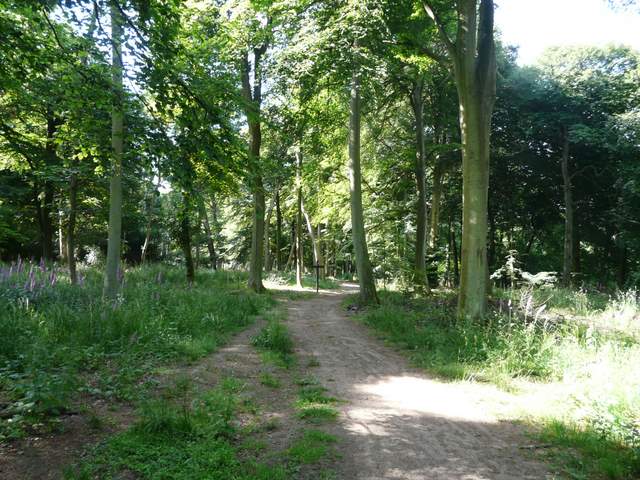
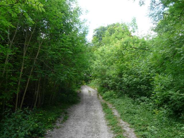
The Ridgeway Path running through the beech trees of Linton's Wood ...
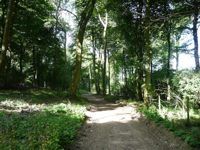
... and on into Goodmerhill Wood
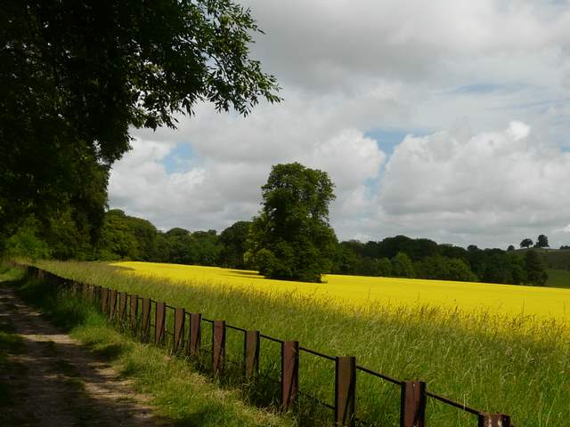
The path followed a fence between a meadow and a corn field on my right, the house hidden from view further right. I crossed the tree-lined drive and continued on alongside another fence to reach the edge of a wood, where the Ridgeway path turned right, between the wood and a yellow field of Oil-seed rape on the right. I took the usual photo of Chequers with Coombe Hill beyond. Further on, the path crossed two large cattle pastures, the second one quite 'scrubby' with lots of bushes and a few trees dotted about. I still don't know why this path is called the Cradle Footpath on the map.
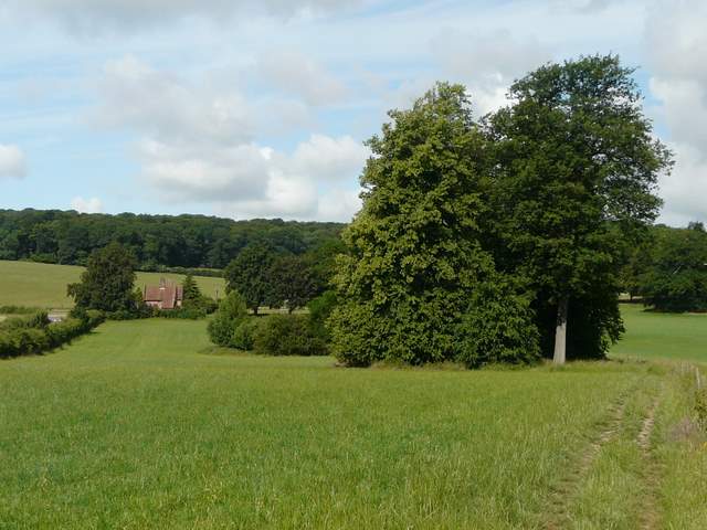
The path across the grounds of Chequers (the building is the lodge at the end of the main drive to the house, which is out of shot to the right)
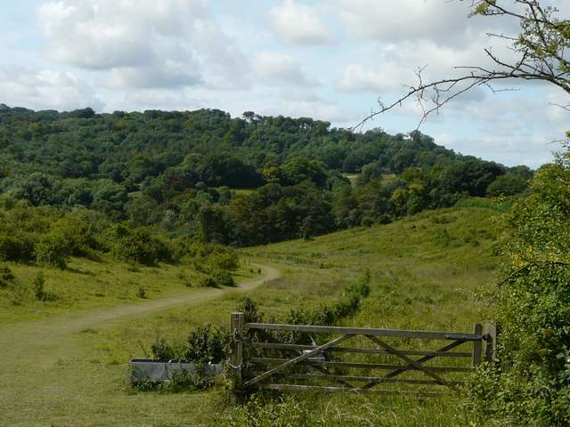
Path around the edge of Chequers
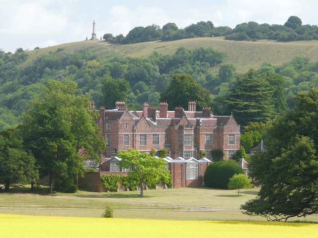
Close-up of Chequers, with Coombe Hill behind it
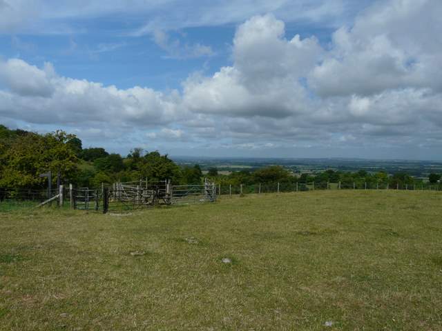
The Cradle Footpath, and a glimpse of the Vale of Aylesbury
The Cradle footpath
I made a slight detour to admire the views over the Vale of Aylesbury from a small knoll called Chequer's Knap, before continuing along the Ridgeway path as it crossed a bridleway in a sunken lane and then passed below Pulpit Hill (up on my left). It was here four years ago that my interest in wildflowers was sparked by seeing a Common Spotted Orchid - there were plenty of them here today, along with some Pyramidal Orchids. A Red Kite flew very low over my head here, its presence given away by its shadow passing across the ground at my feet. A little further on (across a crossing bridleway) I passed through a nature reserve, where I spotted some Dark Mullein. The Ridgeway then turned right through a gate, passing through a small wooded area to reach a minor road. I turned left and almost immediately forked right along the short street leading to the Plough at Cadsden. The Ridgeway turned right immediately beyond the pub, then forked left at a gate. The subsequent longish climb up Whiteleaf Hill seemed to pass quite quickly and with less effort than usual.
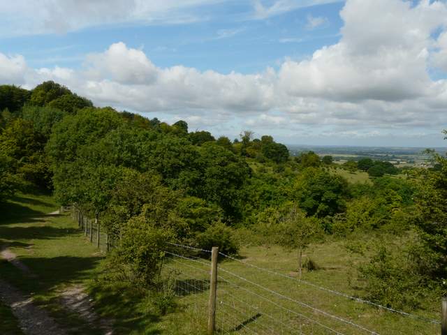
The Ridgeway Path at the foot of Pulpit Hill
The nature reserve, with Whiteleaf Hill ahead
The path up Whiteleaf Hill
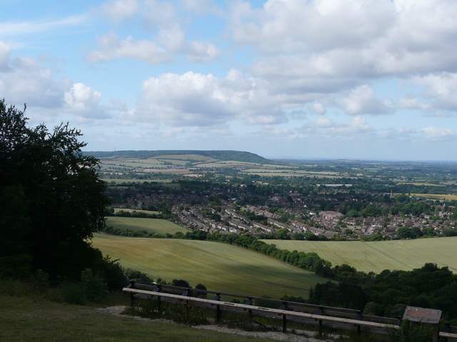
Looking over Princes Risborough from Whiteleaf Hill
Looking north from Whiteleaf Hill
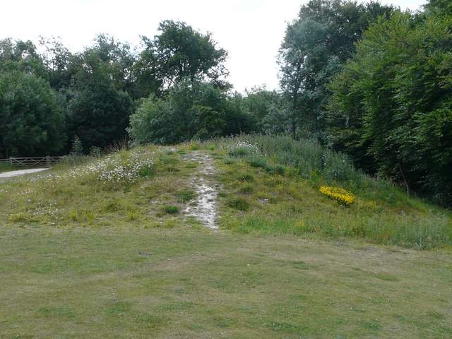
The ancient burial mound on Whiteleaf Hill