Pete's Walks - Marsworth Canal Walk
If you are considering walking this route yourself, please see my disclaimer. You may also like to see these notes about the maps and GPX files.
Google map of the walkDownload GPX file of the walk
I did this roughly 9.3 mile walk on Sunday, 11th July 2010. It was a repeat of a walk I first did on 24th April 2009 but in the opposite (anti-clockwise) direction. Saturday had been a very hot day (the forecast was for up to 31C), so I just visited a couple of nature reserves in the morning rather than go for a long walk. I had a few chores to do on Sunday, but managed to fit in this walk in the morning.
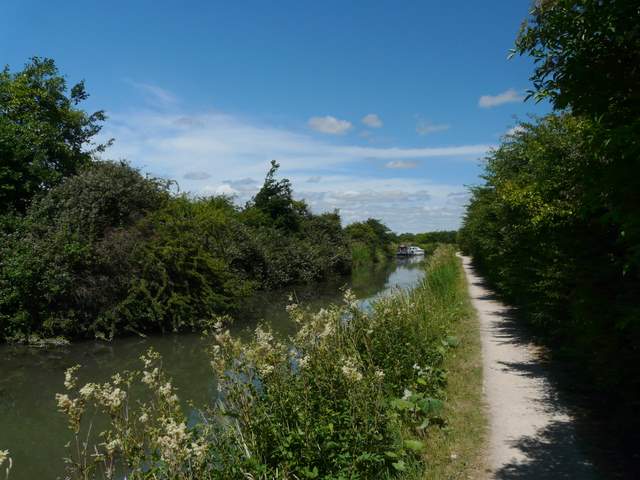
I started walking about 9.45am from the car park at Marsworth, turning right along the road for a few yards then turning left along the Grand Union Canal. After a short distance I stayed on the towpath to follow the Aylesbury Arm as it branched off westwards (left). There were a few other people wandering along the towpath and quite a few anglers too, hardly surprising on such a warm summer's day at the weekend. The walking along the Aylesbury Arm was very straightforward, and there was a surprisingly strong breeze that kept the temperature down to a reasonable level.
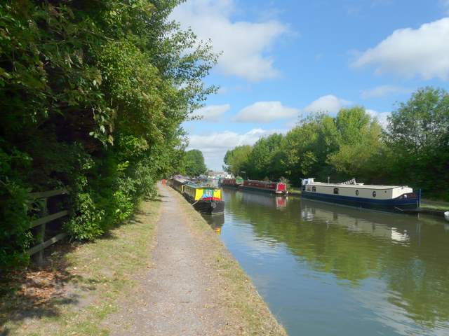
The Grand Union Canal at Marsworth
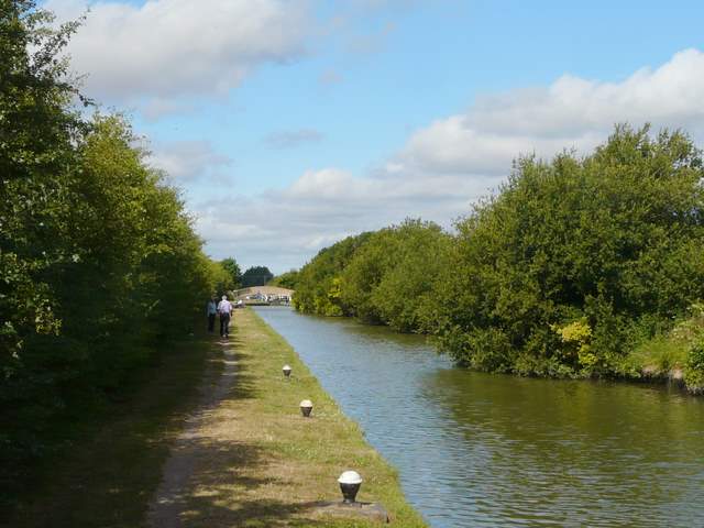
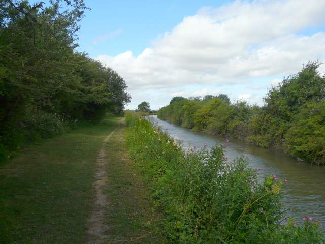
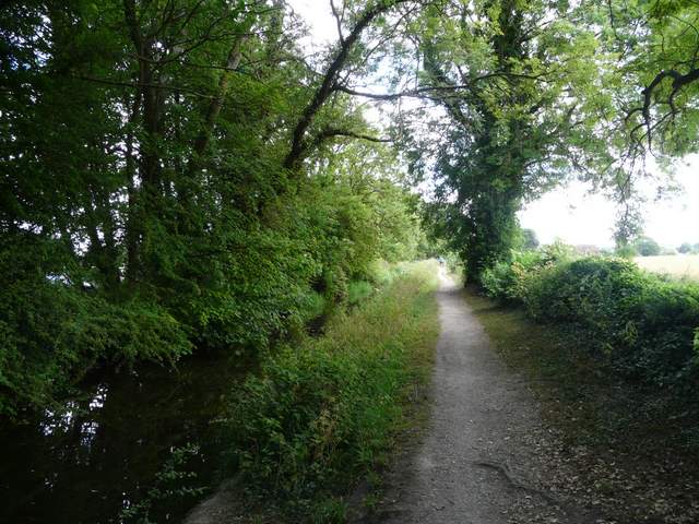
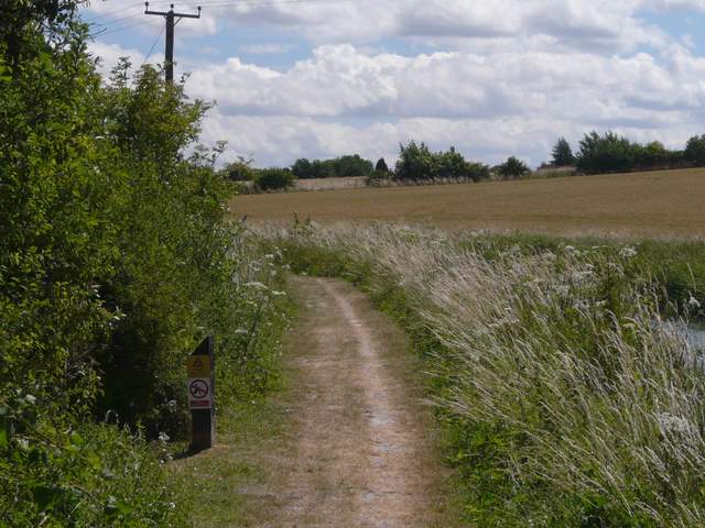
The Aylesbury Arm, near Wilstone
The Aylesbury Arm, near Wilstone
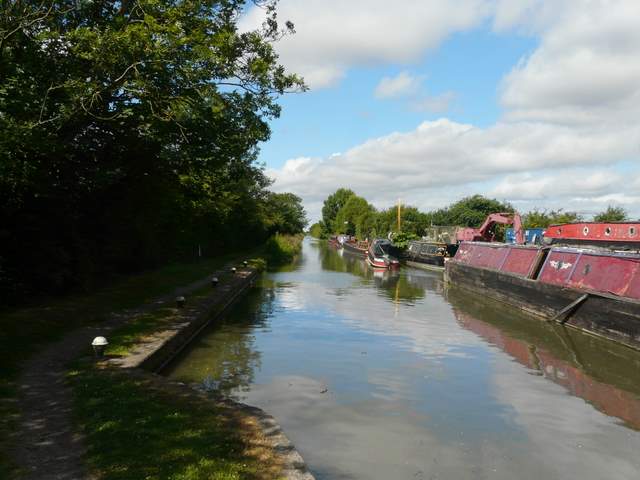
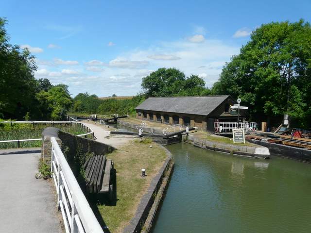
Boatyard on the Aylesbury Arm
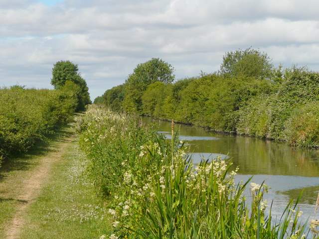
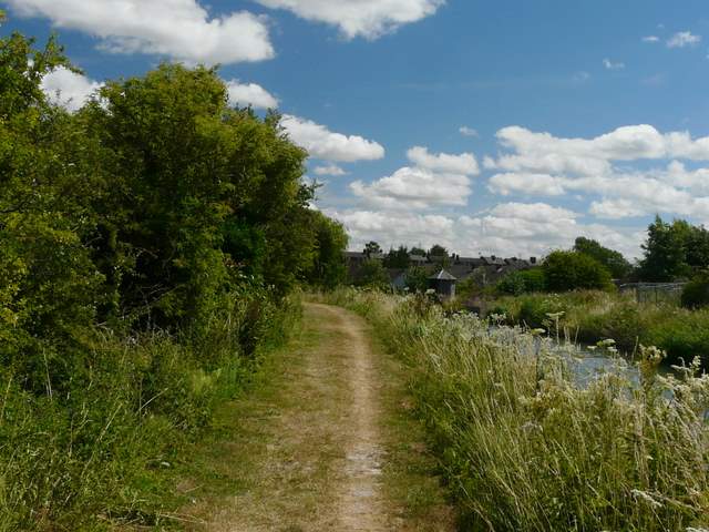
Approaching the end of the section along the Aylesbury Arm
After about two miles or so, I turned left by a brick bridge over the canal (the fifth road bridge I'd come to), and followed a lane towards Buckland. Ahead of me I could see the line of the Chiltern Hills, from Ivinghoe Beacon to my left over to Beacon Hill, Ellesborough, on the right. The lane crossed over the A40 dual carriageway, and I immediately took a path on the left which dropped down some steps and continued between a hedge and a wire fence on my left. The path then turned right and followed a hedge on my right through a large empty pasture, then continuing beside the hedgerow until after several hundreds yards it turned right over a stile in the hedge. I then crossed a couple of meadows or pastures to reach the churchyard around Buckland church. On leaving the churchyard by the church gate I went a few yards right to a road junction where I turned left.
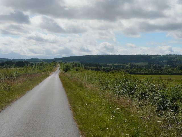
The lane to Buckland, with the wooded Aston Hill in the background.
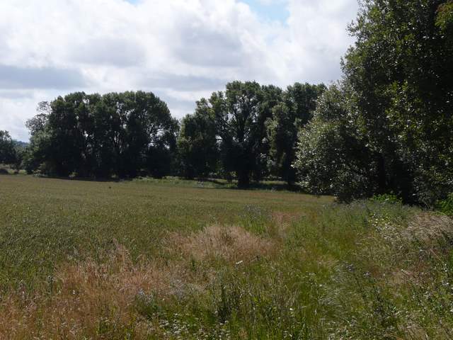
Field path near Buckland
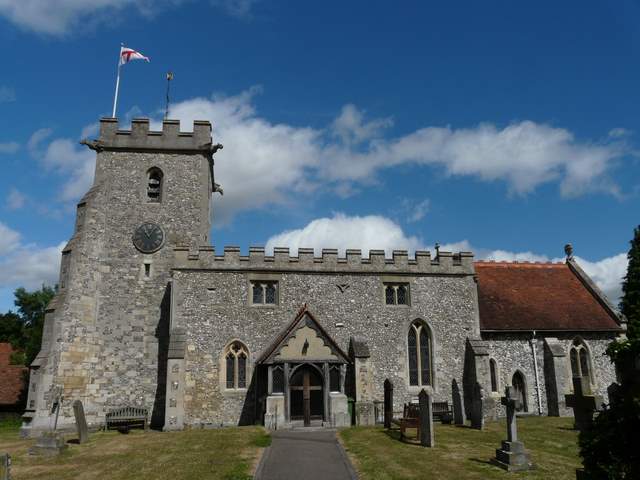
Buckland church
I soon came to another T-junction where I turned right and followed the road into the larger village of Aston Clinton. I turned left at a roundabout, then took a road on the right. After a few hundred yards this went over a canal bridge, and I then turned left and started to follow the towpath of the Wendover Arm of the Grand Union Canal. When the towpath reached a road, I had to go a few yards left before continuing along the towpath, which was now to the left of the canal. Near Drayton Beauchamp I saw that part of the canal that was being repaired last time I came this way (in January) was now full of water.
Where I joined the Wendover Arm
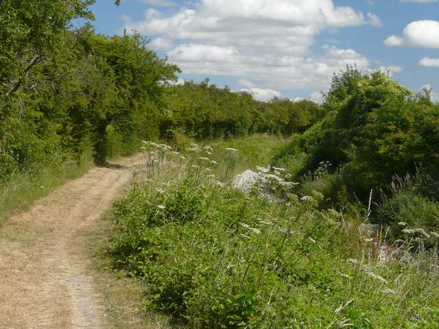
Path by the Wendover Arm (near Drayton Beauchamp, I think!)
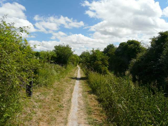
This section of the Wendover Arm was empty last time I did this walk (in January). The repair work seems to have gone well!
Part of the 'dry' middle section of the Wendover Arm
When I eventually came to another road, I had to follow it right for about quarter of a mile (Update 18/03/17: There is now a permissive path over the hedge on the left for the first part of this road walk). I then turned left to return to the towpath. I passed the edge of Tring and the huge warehouses at Tring Wharf. I then had to cross a bridge over the canal as the towpath switched back to the right of the canal. I then continued on the fairly short distance to Bulbourne where I rejoined the main part of the Grand Union Canal, where I turned left. It was then a short walk back along the towpath to the car park at Marsworth, passing parts of Marsworth and Startop's End reservoirs on my left.
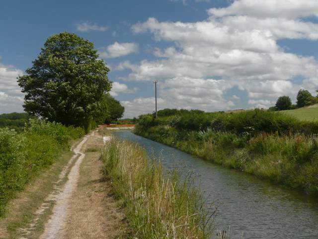
The Wendover Arm a little way before Tring
Approaching the outskirts of Tring
The Wendover Arm between Tring Wharf and Bulbourne
The Grand Union Canal - taken from the bridge over the start of the Wendover Arm
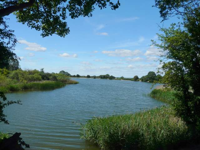
Marsworth Reservoir
The walk took just over three hours, a bit shorter than previous times, mainly because I took fewer photographs. It was a very pleasant if unchallenging route, though being a warm Sunday morning there were a few more people about than I'd have preferred. The stiff breeze kept it reasonably cool, but meant there were few insects about (though I spotted Ringlet, Small Tortoiseshell and Gatekeeper butterflies). I was a little disappointed that I didn't see many wildflowers, Great Willowherb and the occasional Purple Loosestrife being the chief exceptions.