Pete's Walks - West Wycombe, Hughenden, Speen (page 3 of 3)
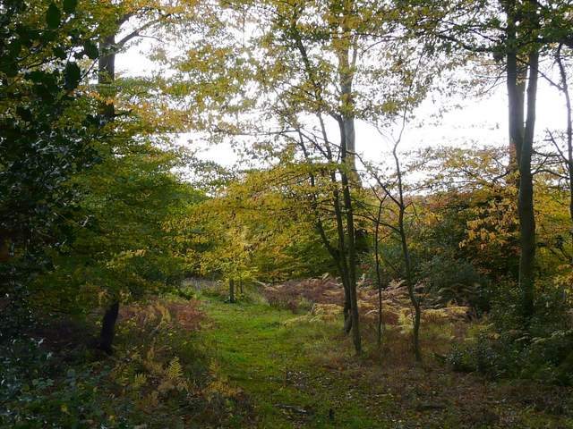
Almost half a mile from the lane junction, I turned left onto a footpath along a drive and then a track. Beyond a couple of gates I turned right at a path crossroads, now heading towards a wood named Guy's Spring (I've noticed on my maps that there are many woods called 'something Spring' in the Chilterns, there are about five in the Redbourn-Flamstead area alone). It was an attractive walk downhill through the edge of the wood, and then I turned left along the bottom of a valley, passing through a large empty pasture and then turning right to reach another wood, Courns Wood.
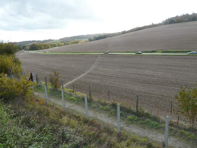
The start of the path from Speen to Naphill
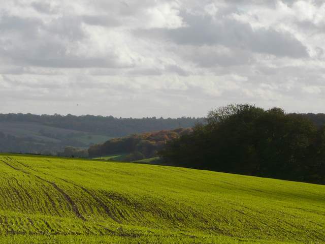
View south from Speen
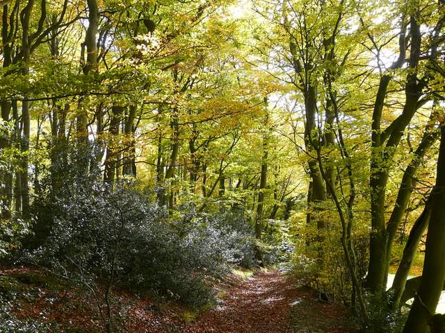
The path through Guy's Spring
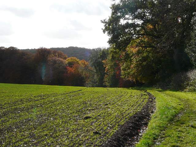
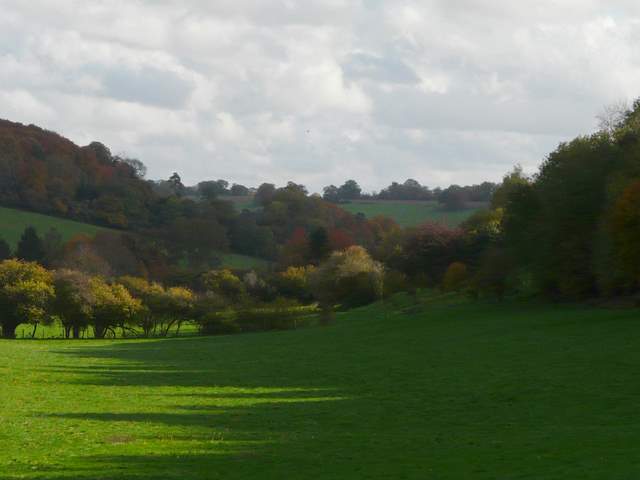
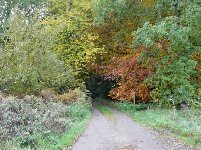
Approaching Courns Wood
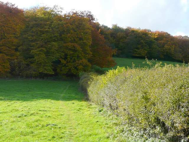
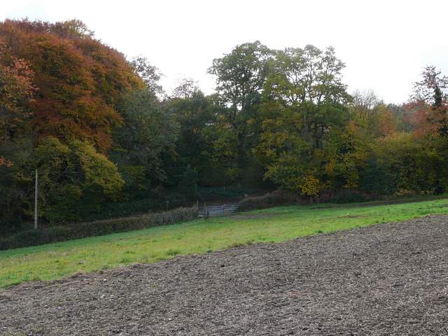
View from the edge of Courns Wood
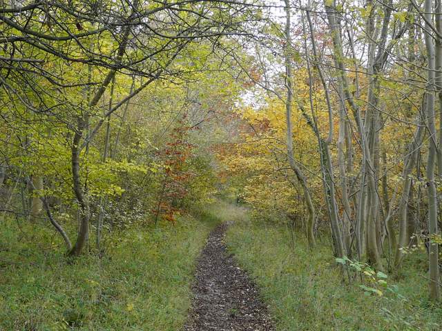
Yet again it was very pleasant walking through the wood. Near the far side of the wood the path merged with another one coming in sharply from my left, then a few yards further on I turned left at a path crossroads. I passed beside an isolated house in the woods at one point, before leaving the wood behind and crossing a field diagonally to reach a lane. I turned right to go slightly uphill to the adjoining villages of Naphill and Walters Ash, the lane actually being the boundary between the two.
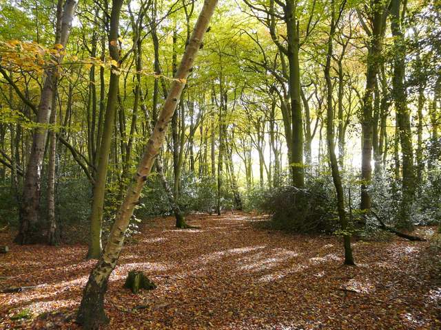
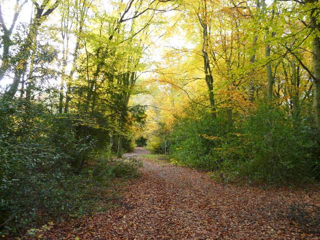
Courns Wood
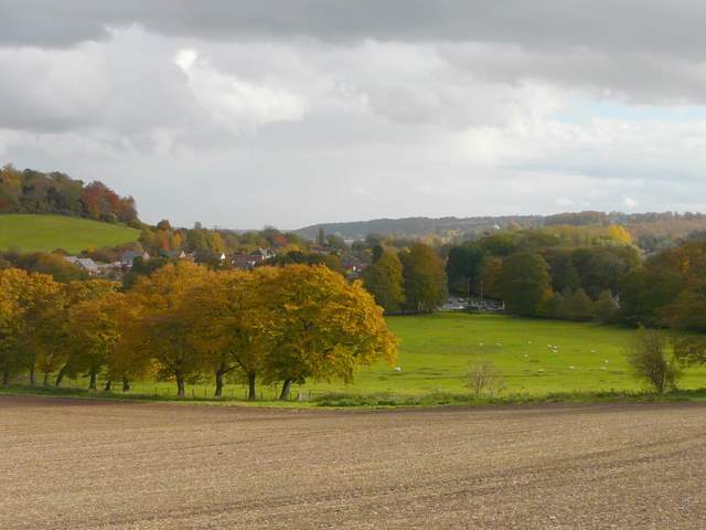
Approaching the lane into Naphill
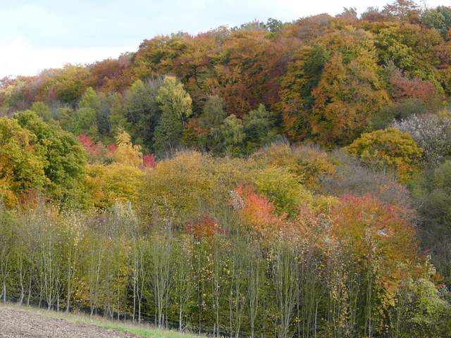
More autumn colours near Naphill
I turned left into Naphill, soon crossing the road and going down a short side road that led to the large and heavily wooded Naphill Common, where I went straight on along a bridleway through the woods. The bridleway soon passed some residences on the left, then yet again it was a delightful stretch of walking through autumnal woods, with the afternoon sun lighting up the spectacular foliage above me. After some distance the bridleway merged with another one coming in sharply from my left (by an overgrown pond on the left) and soon came to another junction, where I turned left. I soon crossed over another bridleway, and a little further on the path had some paddocks around Bradenham Hill Farm on my right. The path eventually met a track, where it went a few yards left to a path crossroads in Kit's Wood, where I turned left along a track. When the track turned left, the public footpath went straight on. After a while it started turning right and was soon heading downhill.
Entering Naphill Common
Naphill Common
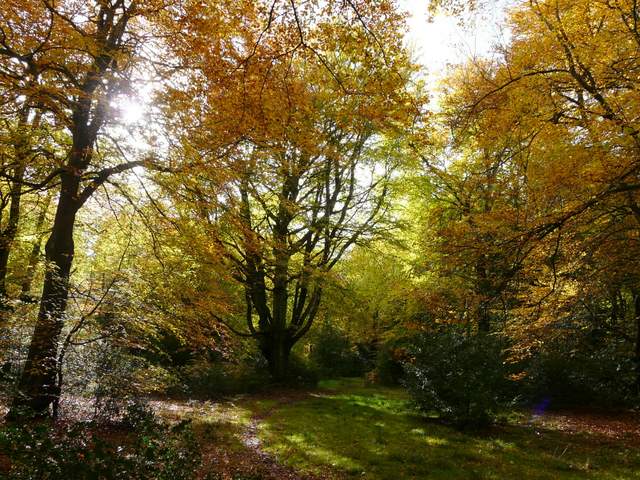
Naphill Common
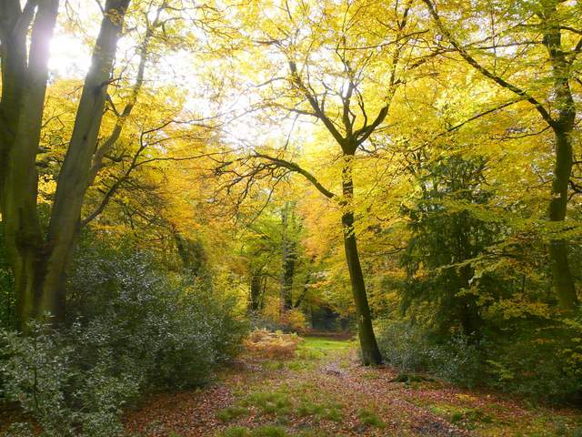
Naphill Common
Path through Kit's Wood
Path through Kit's Wood
On finally reaching the end of the woods, I crossed a railway line and then a ploughed field to reach the road that had taken me into West Wycombe much earlier in the day [UPDATE 2/6/14: This path has been closed, because the railway crossing was deemed unsafe. Now you must turn right after passing through a metal pedestrian gate on the edge of Kit's Wood. You reach a road after about a quarter of a mile, where you turn left (immediately going under a railway bridge). After about another quarter of a mile, you take the footpath on the right to rejoin the route I used]. A rising path across another ploughed field then led me to a lane on the edge of West Wycombe. I turned left, almost immediately following the lane right at a junction. After passing the entrance to the Hellfire Caves I took a path on the right (there are actually two paths, very close together, it didn't really matter which one I took) which took me round the foot of West Wycombe Hill and back to the car park where I started.
The path from Kit's Wood back to West Wycombe [Note: the path across the first field to the road is now closed - see the UPDATE in the description above]
View towards High Wycombe
I remembered that the walk wasn't too long, but I was a little surprised to find that I'd measured it at only 11.1 miles on Google Maps. As it had taken me about four hours and twenty minutes, I'd guessed it would be a little over 12 miles. I'm certainly not as fit as I once was, but I think its the number of photographs I take that are slowing me down so much. It was certainly a beautiful day for a walk, and I really enjoyed seeing the woods at the their colourful best. This was a very pleasant route, and one I'd definitely enjoy doing again.