Pete's Walks - Wendover Woods, Wigginton, St Leonards (page 2 of 3)
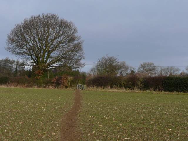
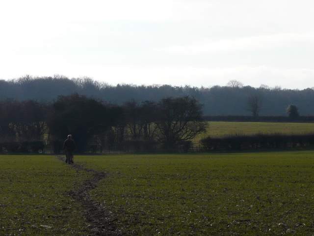
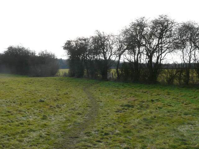
I continued into Wigginton, and took a footpath on the right along the far edge of a Sports field to reach a car park (UPDATE 6/2/2024: this path now passes behind the Village Shop). I then continued southwards along a road. A couple of walkers were just ahead of me as I turned right onto a footpath (just after leaving the village), starting off on the path along Grim's Ditch. But after crossing an empty pasture, I left my usual path by going half-left across a large arable field. The two walkers were still ahead of me (I stopped and took a couple of photos so I wasn't right on their heels) and further ahead was a dog walker. Beyond this field, the path crossed a tiny corner of a meadow, then continued in the same straight line diagonally across another meadow. The two walkers ahead of me then followed a path going right, just inside Roundhill Wood, but I chose to take the parallel path just outside the wood (I had walked part of the wood path, and the path I'd just followed from Wigginton, in the opposite direction once before - see the Buckland Common and Ashley Green walk I did in May).
Looking back towards Wigginton
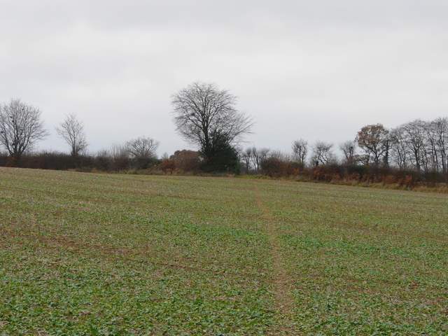
The diagonal path across a field, near Wigginton
I took this by a kissing gate - it seemed odd that the path clipped this small corner of a field when it could have missed the field entirely by going just a few yards to the right.
The path alongside Roundhill Wood
Just beyond the next field boundary, the path went over a stile into the woods - I could see the two walkers just ahead of me again, the two paths now merged into one. Beyond a lane the woods continued, this wood being called High Scrubs. As I left the wood, I rejoined part of my Chiltern Chain Walk, following a hedge with showjumping fences built into it. Across Shire Lane (the boundary between Bucks and Herts), a path continued between a farm and a cottage named Montana. I soon came to a path crossroads where I have always previously turned left to reach Cholesbury Camp (a very impressive Iron Age hill fort).
In case anybody tries to follow this route, I should make it clear that THE PATHS ON THE GROUND HERE DO NOT MATCH THE PATHS SHOWN ON THE MAP! I wasted about 10 minutes because of this. According to the map, I should have just turned right at this junction (which, as I say, I knew well from previous visits) and then gone straight on at a path crossroads after about 100 yards. But there was no crossroads and no straight on, just a path T-junction. I went short distances both right and then left, in case it was a 'staggered' junction rather than a true crossroads, but there was no sign of any path in the direction I wanted. In the end I went back to the junction I knew and went straight on to the next junction - I then found the path I wanted, but it was running just yards inside the wood (part of Drayton Wood) rather than about 100 yards inside it as the map showed.
The two people I'd been following for over a mile were just ahead of me when I reached what should have been a path crossroads ... I never saw them again after that ...perhaps they are still lost somewhere in those impenetrable woods ...
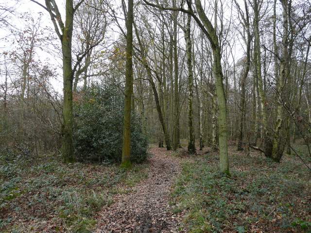
Roundhill Wood
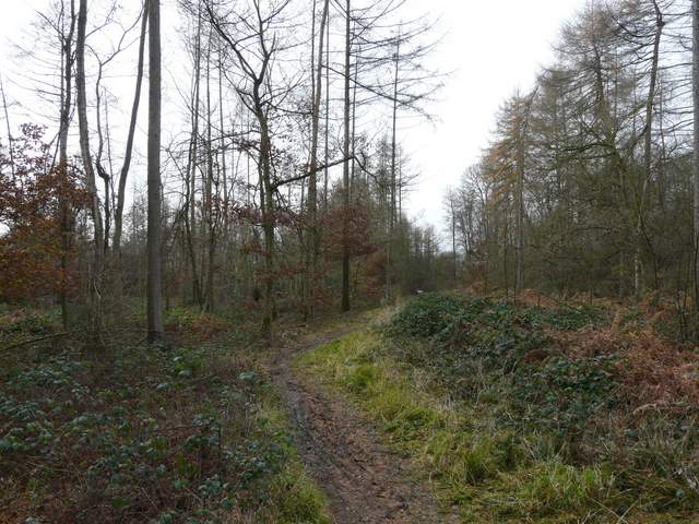
Start of path through High Scrubbs
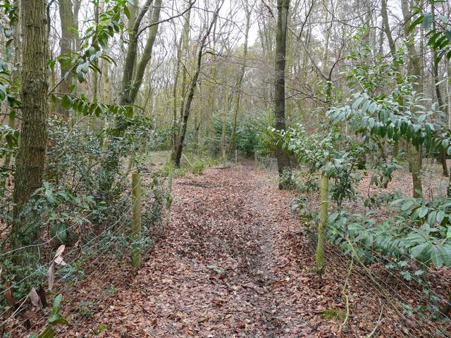
Between High Scrubbs and Shire Lane (beware horse jumping the fences in this hedge!)
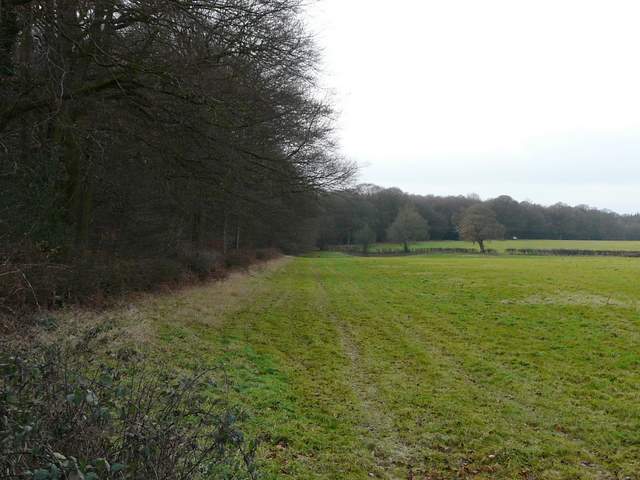
After following the edge of the wood for about half a mile, the path reaches a bridleway going left along another part of Drayton Wood. I'd followed it into Buckland Common at the end of that walk I did in May that I mentioned before, but today I soon turned right onto another footpath through the wood. After a while I reached another familiar junction where I joined part of the Chiltern Way for a couple of hundred yards or so, before I turned left at the next junction. This was now close to the northern edge of Drayton Wood, before veering further left into the wood. A plank bridge crossed a small ditch marking the boundary of Drayton and Buckland Woods - again, I had a bit of trouble with my map here, when I came to a crossroads where the map indicated it should be a pronouncedly staggered junction where I needed to turn left then fork right. I chose to go straight on and this proved to be the correct decision.
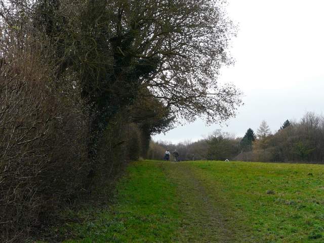
The bridleway to Buckland Common, from the end of the path through Drayton Wood
Path back into another section of Drayton Wood
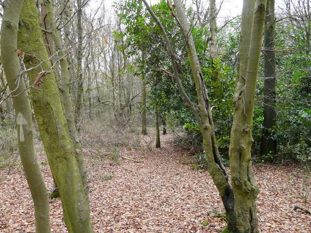
Path in north-west part of Drayton Wood
The boundary ditch between Drayton and Buckland Woods
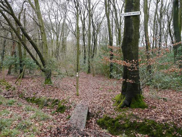
Coming to the end of the path through Buckland Wood - I spotted a Red Kite here
Across a lane beyond Buckland Wood, I stopped to eat my lunch on a stile. I then crossed what was marked as St Leonard's Common on my map, but which turned out be just a couple of large cabbage fields, the path continuing through a small paddock and then through a mobile home park. I then rejoined my usual route, walking down Taylor's Lane that started almost opposite where the path left the mobile home park (the lane was rather dull on this grey Winter's day, but the verges are a riot of colourful wildflowers in the Spring).
Path across St Leonard's Common
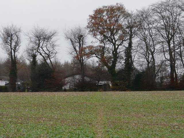
St Leonard's Common, approaching the Mobile Home park
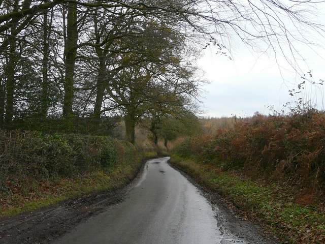
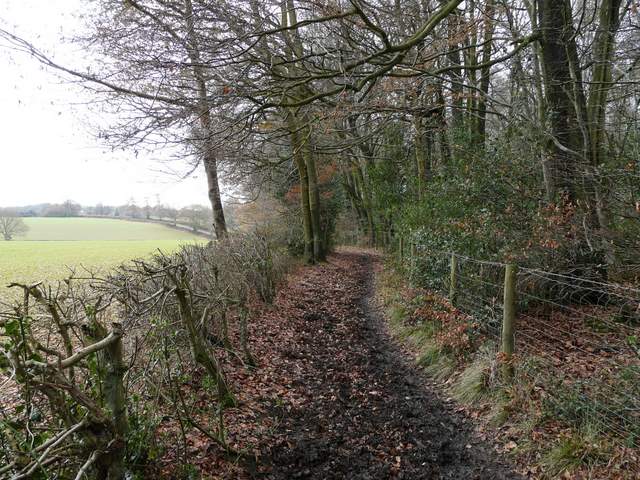
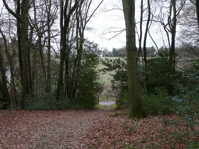
Taylors Lane