Pete's Walks - West Wycombe, Fingest, Moor Common (page 1 of 4)
If you are considering walking this route yourself, please see my disclaimer. You may also like to see these notes about the maps and GPX files.
Google map of the walkDownload GPX file of the walk
PLEASE NOTE: The very large car park in West Wycombe used to be free. When I came here on 15th January 2022 I found it is now a pay and display car park, only free if you stay less than one hour and costing £4 if you stay more than 2 hours. I think you have to pay by credit card, I don't think the machine takes cash.
I did this 13 mile circular walk on Saturday, 22nd January 2011. Regular visitors to this site (both of them!) will no doubt be pleased to hear that much of this walk covered ground not previously recorded here before. Although only a couple of miles or so were new to me, much of the route was based on a walk I did a few years ago when I was exploring possibilities for my Chiltern Chain Walk. The walk did not get included in the final route of the Chiltern Chain Walk, not because it wasn't good but simply because it involved a very dangerous short stretch of road walking, and so I had not done it since. I recently saw in the 'Chiltern News', the magazine of the Chiltern Society that a new permissive path had eliminated the need for this road walk, so I decided to give it another go.
I started walking from the car park at West Wycombe (grid reference SU 826947) about 9.50am. I headed westwards along the A40 out of the village, but soon turned left into Toweridge Lane. As I puffed my way up this rather steep start to the walk, there were several Red Kites and at least a couple of Buzzards overhead. The conditions at this point were very grey and misty (it had been quite foggy as I'd driven over Bison Hill in Whipsnade). At the top of the hill I went right, following a track past Towerage Farm (rather curiously the names of the farm and the hamlet here are spelled Towerage, whereas the lane is spelled Toweridge) and on to Great Wood.
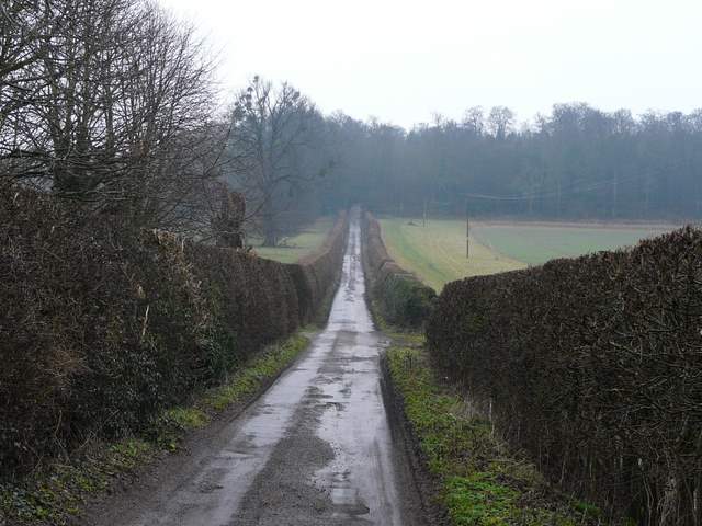
Toweridge Lane
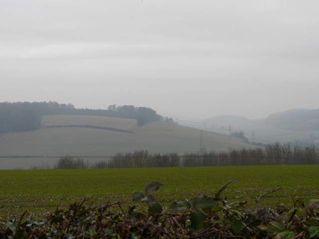
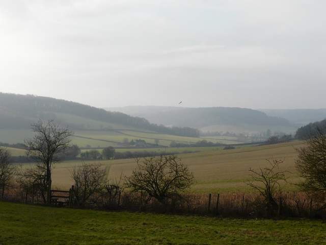
Misty view from near Towerage Farm - the small lump lost in the mist is Slough Hill near Saunderton
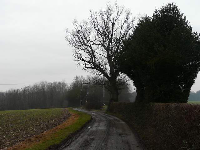
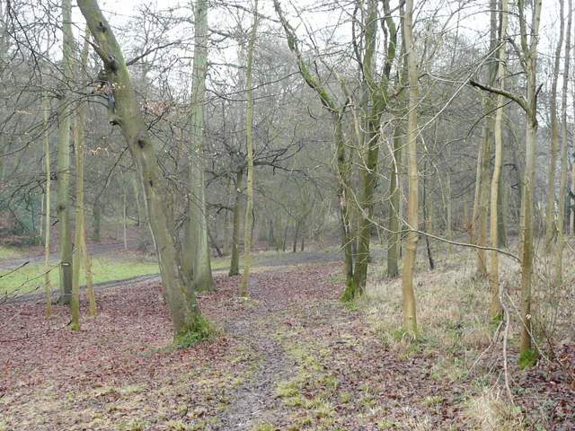
The path from Towerage to Great Wood
The track continued through Great Wood. Near the bottom of a small valley I reached a path crossroads where I turned right. I continued on for some distance through the wood, passing a group of five lady walkers with two black dogs. At one point there was a field or paddock nearby on the left, which rather concerned me as it was not shown on the map. At the end of the wood I came to a slightly complicated junction where I continued more or less straight on (I'd been heading roughly southwest since Towerage), on a tree-lined bridleway. I soon reached Denham Wood, where I forked right - almost immediately I met a lady who told me she was out re-painting the white arrows on trees that mark the paths. Beyond this much smaller wood, the path continued through a large pasture to reach the village or hamlet of Wheeler End.
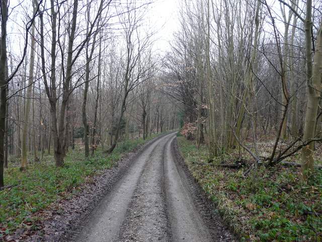
The path in Great Wood
The path in Great Wood
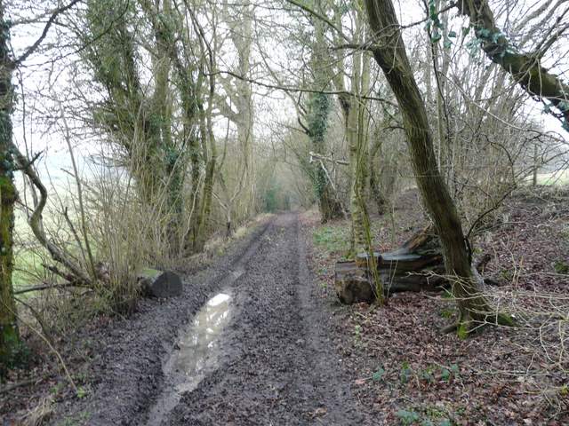
Between Great Wood and Denham Wood
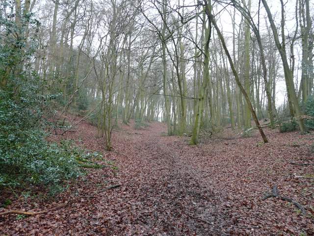
Denham Wood
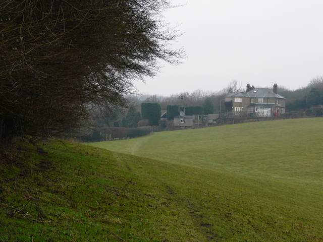
Approaching Wheeler End
The map seemed to show that the path goes straight on after crossing the lane here, but I had to walk a short distance to my left to find it. It crossed Wheeler End Common, a pleasant area of grass and bracken that made a change from the usual fields and woods. The footpath soon followed a line of bushes on my right, although a nicer looking grass path meandered a few yards to the left. The footpath then joined a drive for a few yards, before crossing a minor road. This area was now more wooded and there were several unmarked forks in the path - I just kept left and this seemed to work out well.
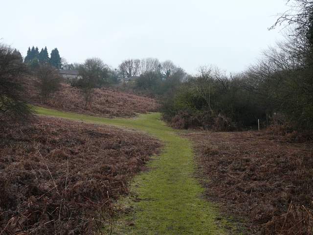
Wheeler End Common
The footpath on Wheeler End Common
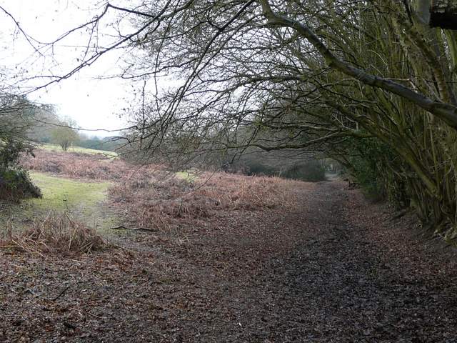
Between Wheeler End Common and Cadmore End Common
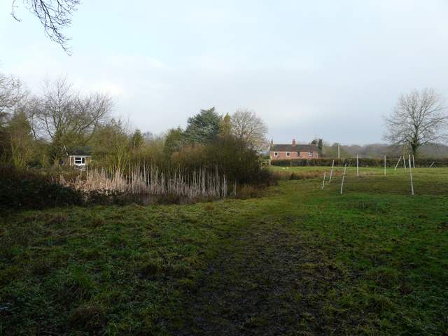
I passed an open grassy area and crossed a drive. I was now in Cadmore End Common, and was soon back in woodland again. I passed a large and partly frozen pond on my right, and a little further on I saw a Goldcrest in a Holly bush. At some point here a Muntjac sprang across the path a few yards ahead of me. The M40 was only a hundred yards or so to my left here - I would hear the traffic noise throughout much of this walk, but it was never uncomfortably loud nor intrusive. Eventually the path emerged from the trees onto a track, where I turned left, soon turning left again as I met a farm drive. This crossed the motorway to reach the road through Cadmore End.
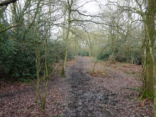
Cadmore End Common
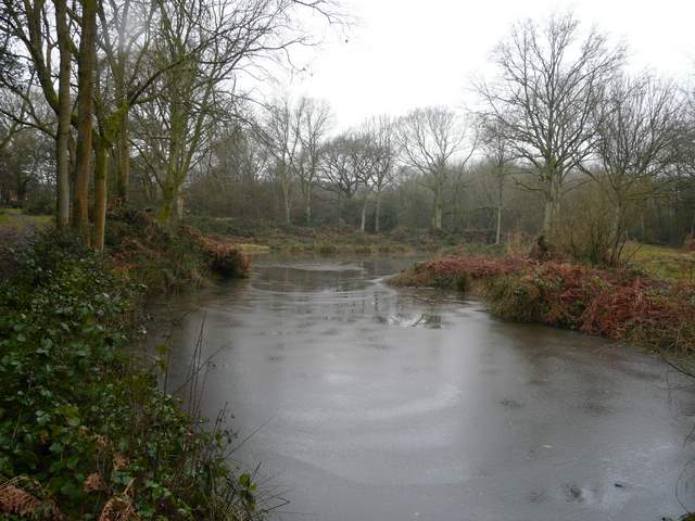
Part-frozen pond on Cadmore End Common
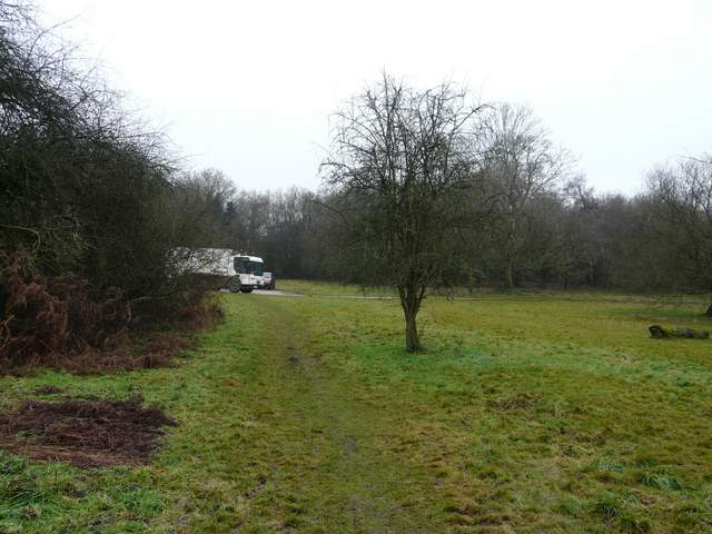
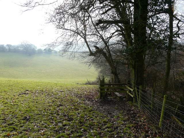
Across the road a footpath started off along the drive to Rackley's Farm, but after a few yards went half-right across a grassy area with two small ponds. The path continued between a fence and a hedge, before briefly entering a huge pasture sloping downhill. After a few further yards the path went over a stile on the right to continue downhill through a section of a small wood. It then entered the same huge pasture again, crossing a small corner of it close to the bottom of the slope, with a good view ahead along a valley towards Fingest and the Hambleden Valley.
looking back, from Rackley's Farm
The path from Rackley's Farm, just before entering the wood
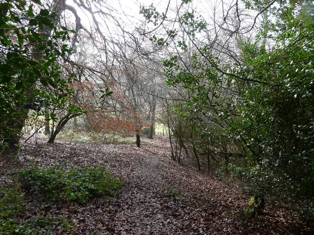
The path continuing downhill through the wood
The path continuing towards Fingest - you can see where I would soon be walking alongside Fingest Wood, rising from the centre to the left of the photo