Pete's Walks - West Wycombe, Fingest, Moor Common (page 3 of 4)
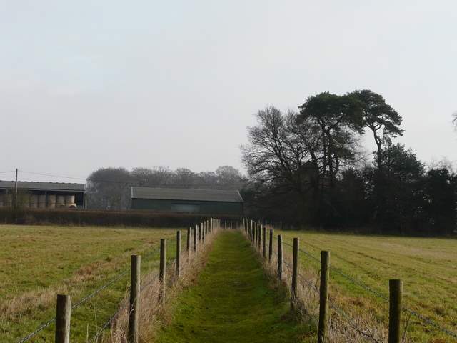
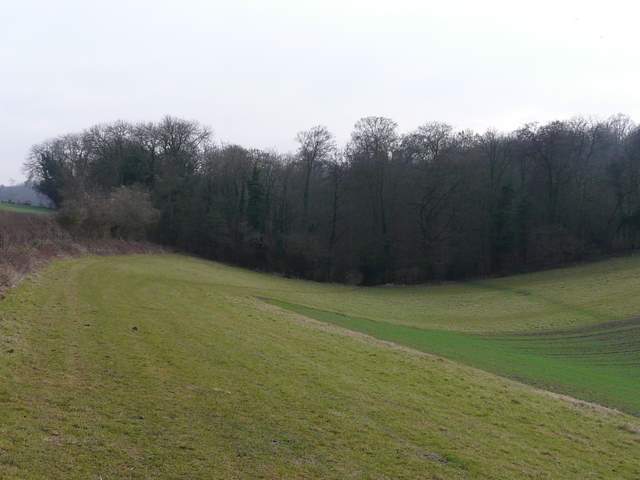
The bridleway rose a bit more steeply for a while as it passed through Hatchet Wood. When the bridleway reached the far side of the wood, I decided to leave it and take a path forking left back into the trees - I had intended to follow the bridleway to its end by the convent at Parmoor, but then I would have had to repeat a section of last week's walk. The new path led me through Hill's Wood, and then ran between wire fences across a field to reach a lane.
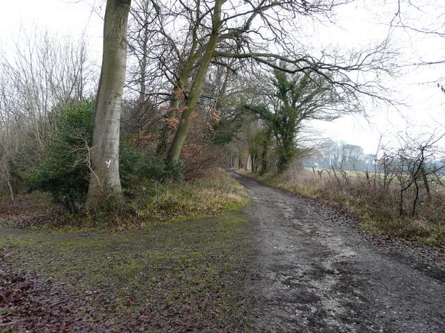
The bridleway goes ahead to reach a lane beside the convent in Parmoor, but I decided to fork left here (to avoid repeating a short section of the walk I did last week)
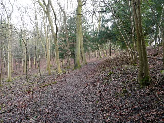
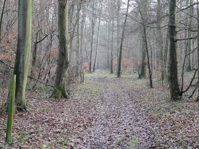
The path through Hill's Wood
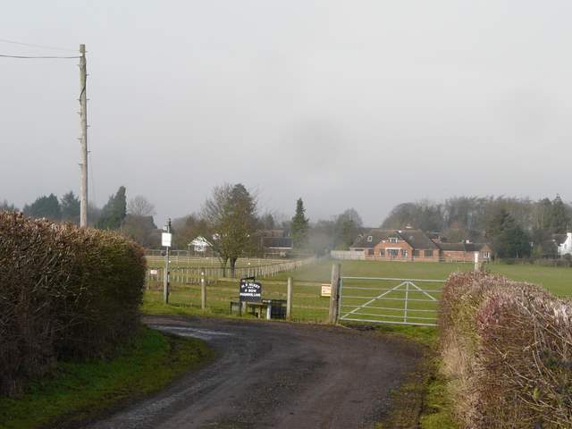
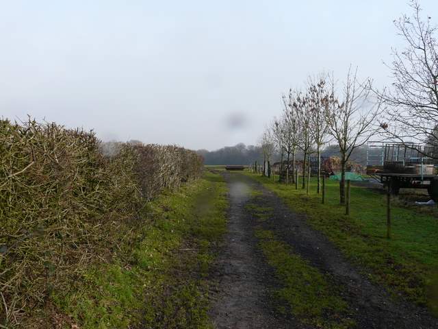
Approaching the lane and farm buildings near Frieth
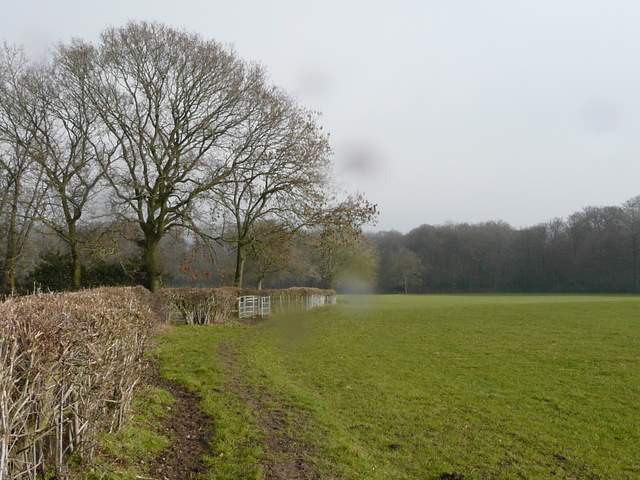
On the other side of the lane I turned left along a path running parallel to the lane. Immediately after some farm buildings (which I passed last week), I turned right, initially following a hedgerow through a large pasture. Over the fields to my left I could see the village of Frieth. Where the hedge ended, the path continued across an empty pasture to reach Moorend Wood.
Looking towards Frieth (along part of the route I walked last week), just before I turned right
The start of the path by the farm buildings
The path from the farm buildings to Moorend Wood (I'd obviously got some raindrops on my camera lens)
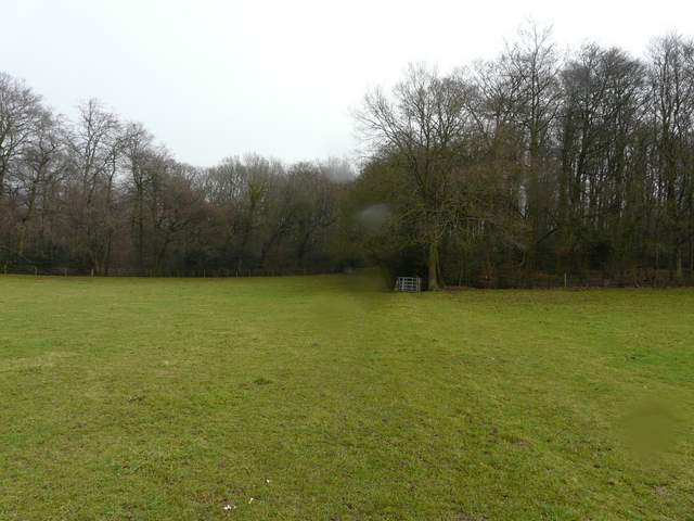
Approaching Moorend Wood
Soon after entering the wood I reached a complicated junction, where I bore half-left through the trees to reach the minor road through the hamlet of Moor End. I was now on the route of the Hambleden, Bovingdon Green and Frieth walk that I did last February, though I was going in the opposite direction. I crossed over and headed across Moorend Common (the path seems to go a bit further right than shown on the map, and then turns to the left just after it enters the trees). I crossed a tiny brook here on a plank bridge - this common is an unusual part of the Chilterns, and I believe it is home to some wildflowers not found elsewhere in the region.
Moorend Common (there are some cottages just to the right here)
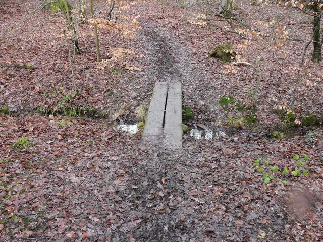
Planks over a tiny stream on Moorend Common (after I entered the trees and went left)
Path on Moorend Common
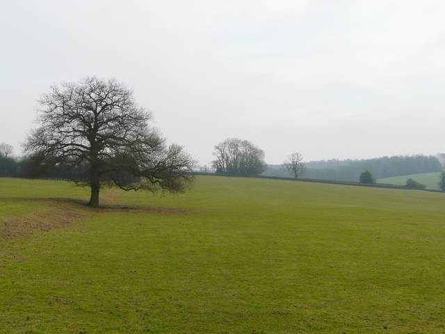
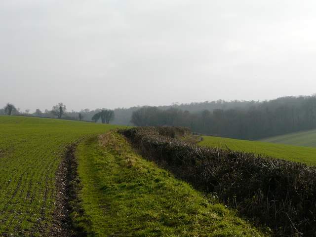
After about half a mile, having crossed a drive at some point, I turned right at a path junction and was soon following a brick wall on my left, before emerging from the trees to cross a huge open pasture with part of the village of Moor Common to my left. I aimed towards a clump of trees visible straight ahead, which mark the ruins of a chapel, according to the map (there are no visible remains as far as I could tell). I crossed a drive just before the chapel, the path then continuing beside a hedge on the right, before switching to the right of the hedge shortly before reaching Bottom Wood.
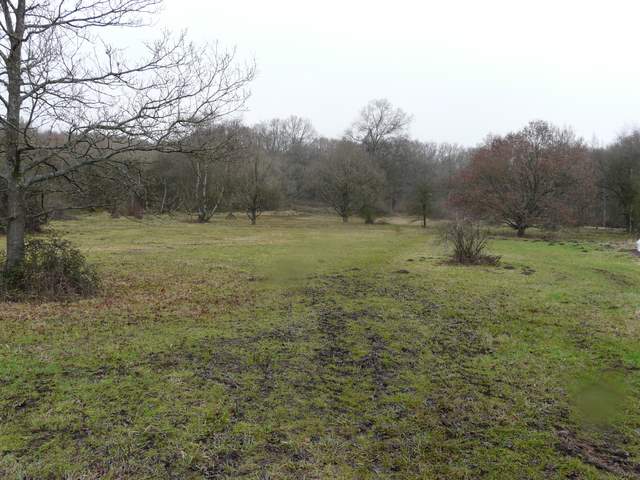
Moor Common (the clump of trees in the centre of the photo are on the site of a ruined chapel)
Path to Bottom Wood, from just past the site of the chapel
Approaching Bottom Wood
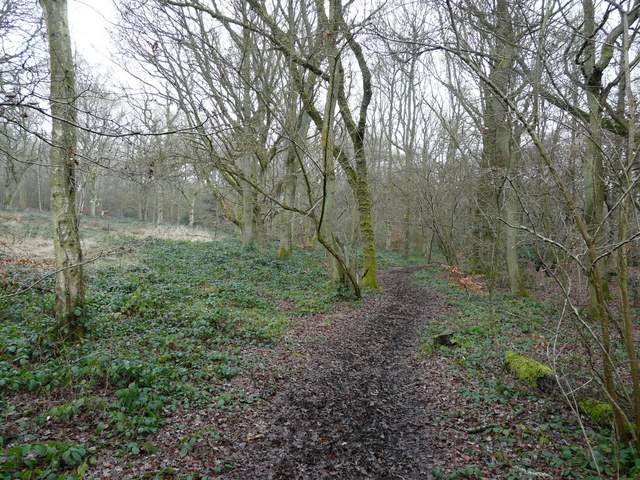
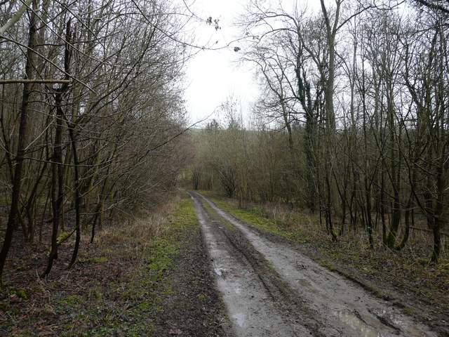
A good track led through Bottom Wood. I then crossed a small grass area before continuing through the larger Moor Wood. Near the far side of this wood I reached a path crossroads, where I turned left onto a bridleway (at this point I left the route I walked last February). The bridleway was on a wide track, obviously used by four-wheel drive vehicles. It kept close to the eastern edge of the wood, with a steep hillside beyond the trees. Along here I saw two Fallow deer cross the track ahead of me, and then my second Muntjac of the day.
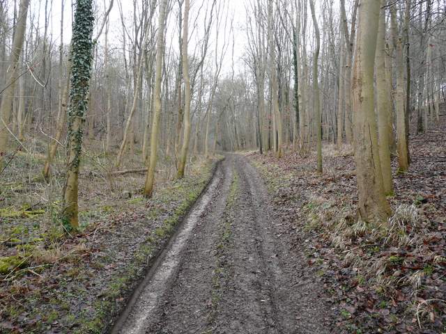
Path through Bottom Wood
The path just before it ends at a T-junction on the far side of Moor Wood
The bridleway heading north through Moor Wood
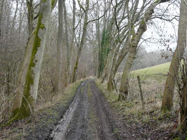
The bridleway heading north through Moor Wood