Pete's Walks - Coombe Hill and Great Kimble (page 2 of 4)
A little to the left, a path continued on the other side of the road, initially between a fence and a hedge, then following a wire fence between fields before joining a short lane by The Springs Farm. Still heading southwest, the path continued through a couple of grassy meadows, with Ellesborough church now prominent on the left, and then a view of the sharp northern end of Beacon Hill (the one I always think looks like an upturned boat).
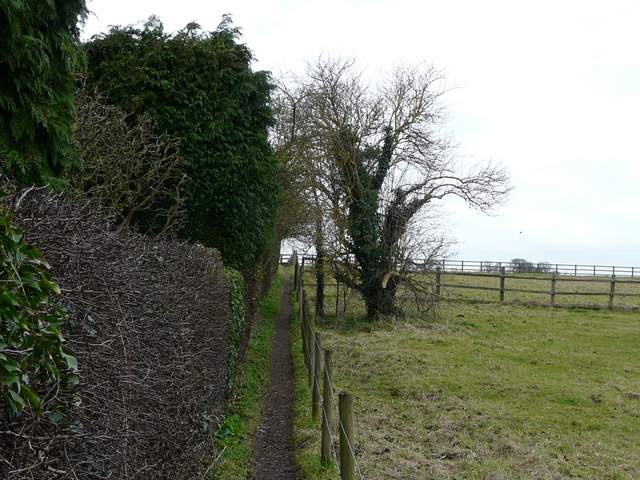
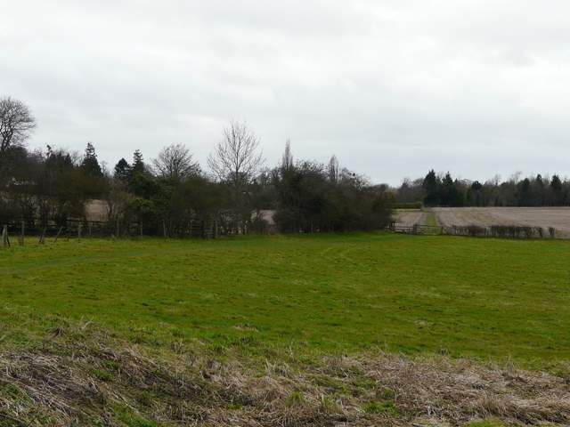
Start of the path from Butler's Cross
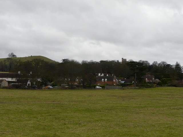
Looking towards Beacon Hill and Ellesborough Church
The path from Butler's Cross to Ellesborough
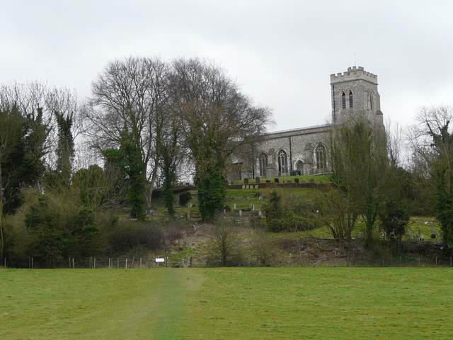
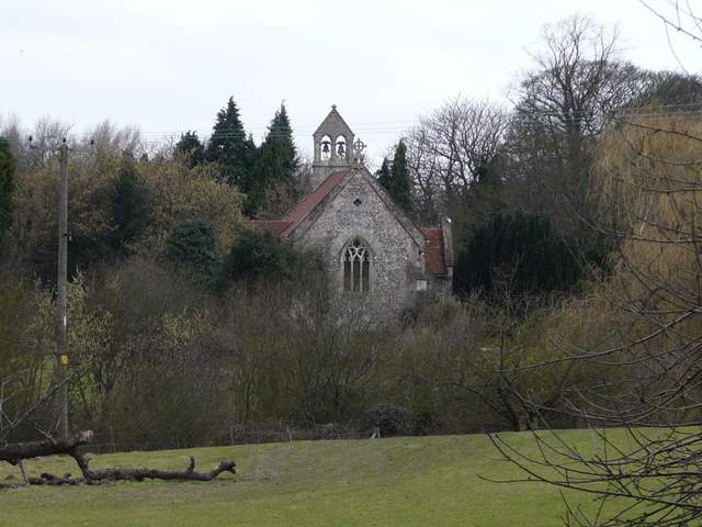
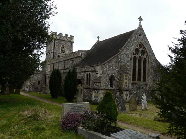
Ellesborough church
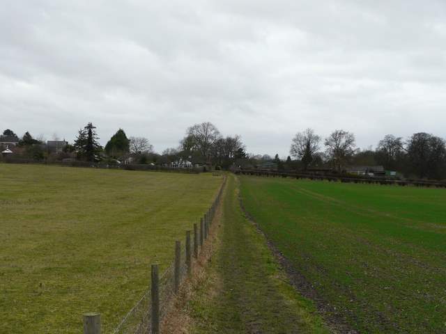
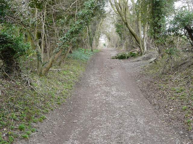
The path from Ellesborough to Little Kimble
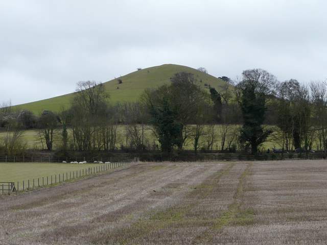
Beacon Hill
The path crossed another field and then ran for short time between garden fences or hedges, finally entering a garden for a few yards before reaching the minor road through Little Kimble. I followed the road right, soon passing Little Kimble church on my left (I enjoyed visiting the church when I walked the Aylesbury Ring five years ago, as it has some mediaeval wall paintings and floor tiles, but today it was closed for restoration). At a T-junction I turned left along the main road, this being my first bit of uphill of the walk. I spotted a Red Kite here, and saw another (or possibly the same) one when I reached Great Kimble church. A few yards past the church, I took a track on the other side of the road going left, steadily uphill towards Chequers Knap.
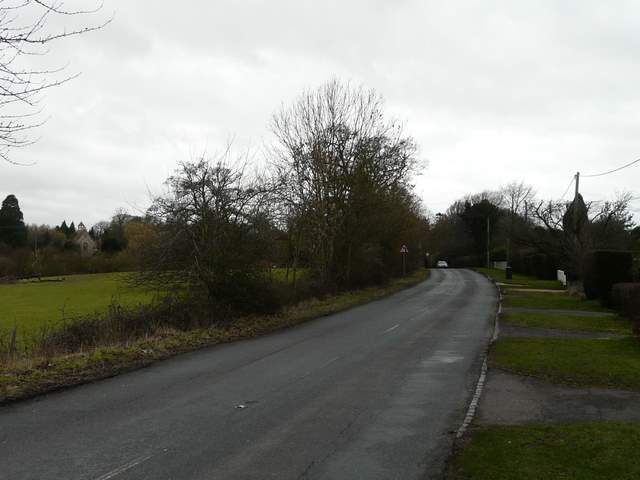
The road in Little Kimble
View of Little Kimble church (it was closed due to restoration work on the mediaeval wall paintings)
Great Kimble church
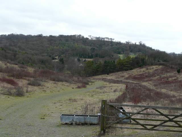
Near the start of the bridleway to Chequers Knap and the Ridgeway
This track is right at the start of the North Bucks Way, which begins where the Ridgeway crosses the track by the hillock of Chequers Knap. I chose not to go that far today, taking a path I'd not used before that went half-right (after about a third of a mile) across some paddocks to reach the Ridgeway at the foot of Pulpit Hill. There was no sign at the start of this path, nor at any of the subsequent gates between the numerous paddocks (only one of which had a couple of inhabitants) so I was rather relieved to spot a yellow waymark on a stile just beyond the final paddock [Update: it seems to be better signposted now]. I followed the Ridgeway national trail (white acorn signs) to the right, soon crossing a track and continuing ahead through a nature reserve before turning right at a gate and then soon reaching a road in the hamlet of Cadsden.
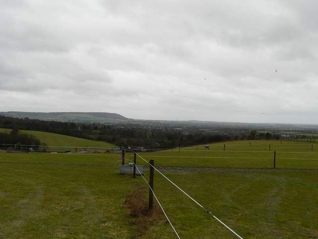
View towards Bledlow and Chinnor from the footpath through the paddocks at the bottom of Pulpit Hill
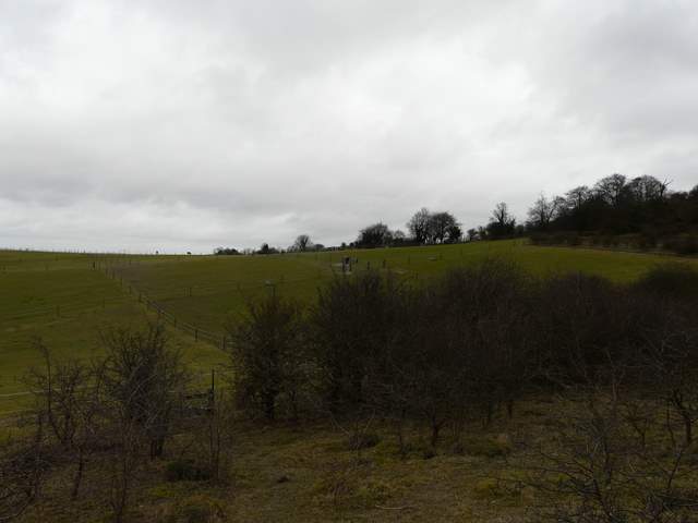
Looking back across the paddocks from where I joined the Ridgeway
The Ridgeway path heading towards Cadsden, with Whiteleaf Hill beyond
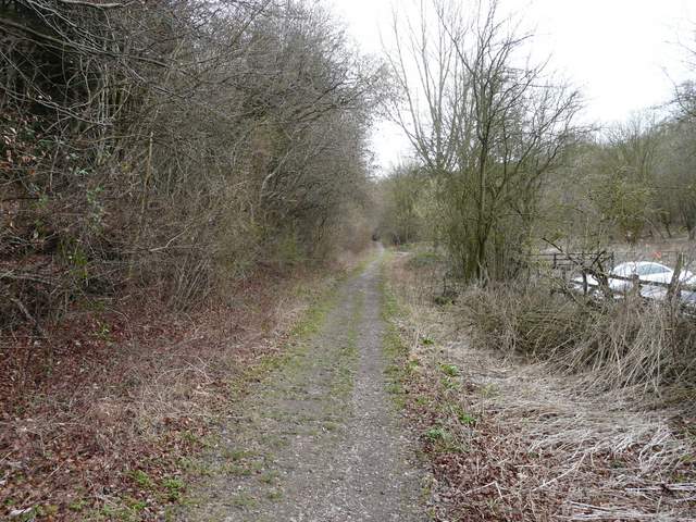
A few yards left along the road, I forked right along the short street to The Plough at Cadsden. Previously I have always taken the path from the pub here that goes quite steeply up Whiteleaf Hill (still part of the Ridgeway national trail). Today I took a path to the left of the pub car park, heading into Ninn Wood. This was quite flat until I went straight on at a path crossroads, when there was a fairly steep but short section uphill through the trees.
The path from The Plough at Cadsden
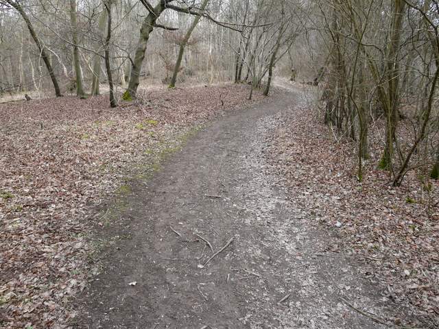
The path going uphill in Ninn Wood (my camera is lying again, it IS steeply uphill, honest!)