Pete's Walks - Southeast from Cadmore End (page 2 of 5)
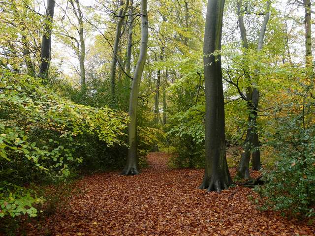
I was now back on familiar territory, part of Walk 14 of my Chiltern Chain Walk. Where the track turned left by the entrance to Fryer's Farm, I went straight on over a stile into an L-shaped paddock. I followed the right-hand hedge as it turned right, then went over another stile and turned left. I soon passed Sandage Wood, a paint-balling centre though I didn't hear any shooting today. On reaching a minor road I went right, immediately crossing back over the M40, and then I bore left (a few yards down a drive) onto a path into Widdenton Park Wood. The area of the wood on my left here had been felled since I last came this way. The path took me to a surfaced drive, which I followed left to a reservoir. The path then followed a green fence round two sides of the reservoir (to the right and then round the back) before I turned right (I think another path goes straight on here) and continued south-eastwards through another part of Widdenton Park Wood. There was shooting going on close by on my left, I've heard it here before.
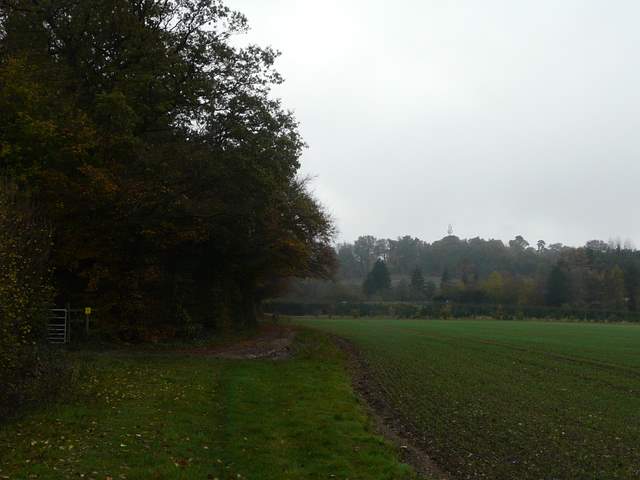
The path past Sandage Wood
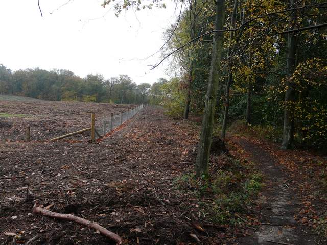
Clear-cut area of Widdenton Park Wood
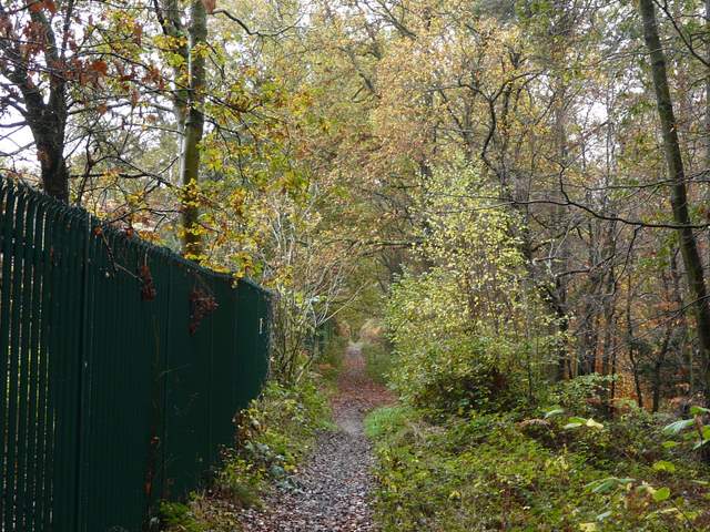
The path beside the reservoir in Widdenton Park Wood
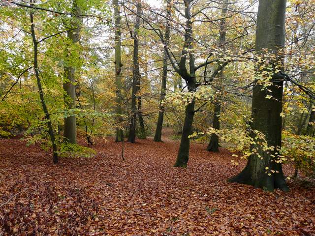
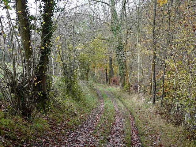
The path going southeast through Widdenton Park Wood
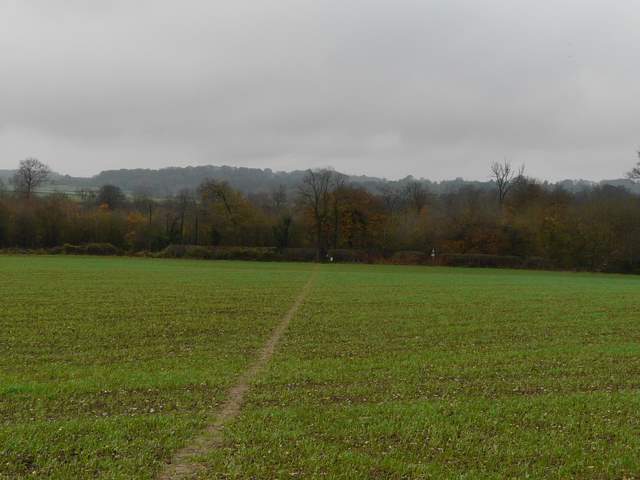
At a path crossroads I turned right, close to an edge of the wood on my left. After some distance the path left the wood and crossed an arable field to a road (the Marlow Road), with Lane End a short distance to my right. Across the road, a fairly new permissive path went left, running parallel to the road (I'd like to say thanks to the landowner responsible, for saving walkers from a very unpleasant bit of road walking), to a gate where a bridleway went half-right, crossing a meadow to reach Moor Wood (the OS map also shows a footpath going right from the gate, beside the meadow, but I don't remember seeing it).
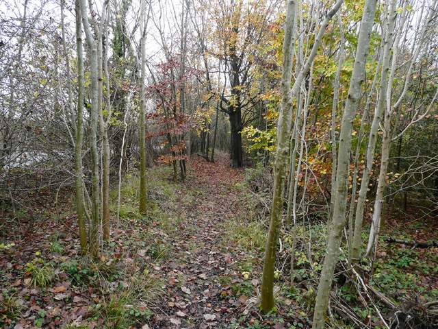
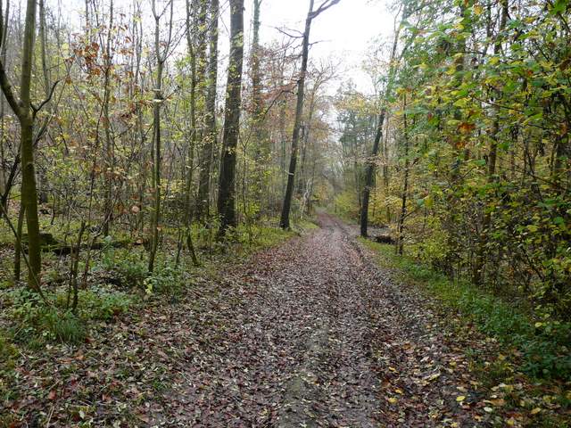
The path going southwest through Widdenton Park Wood
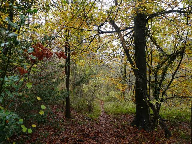
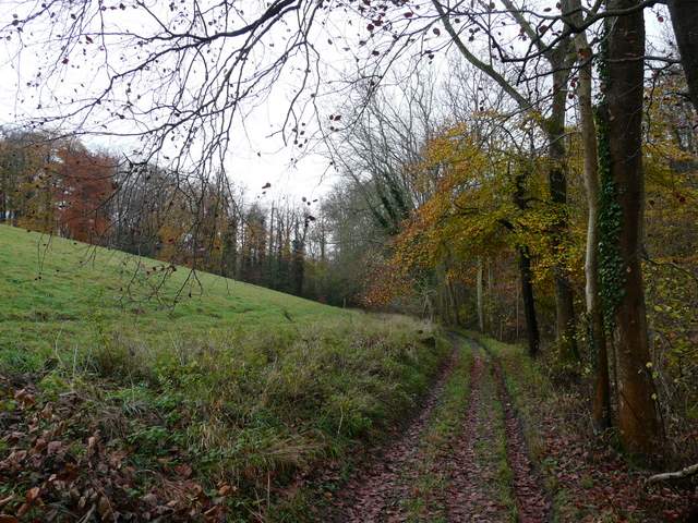
The path continuing from Widdenton Park Wood to the Marlow road
Permissive path beside the Marlow road
The path continued gently downhill through the trees, to join a track in a valley bottom where I turned left. There was soon a field sloping steeply uphill on my left, with Moor Wood stretching away on my right. After passing a wood called Strawberry Grove on my left, I decided to change my planned route and took a path that forked left (where another path went right). This went up a steep scrub-covered slope immediately east of Moor Wood.
Near the start of the path through Moor Wood
The bridleway along the eastern edge of Moor Wood
The bridleway along the eastern edge of Moor Wood
The bridleway along the eastern edge of Moor Wood
The path up the scrub-covered hillside east of Moor Wood
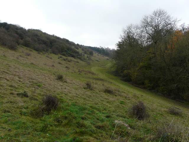
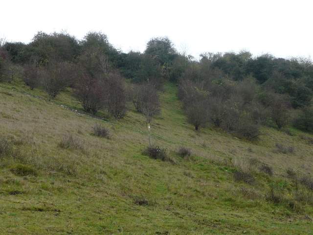
The scrub-covered hillside east of Moor Wood
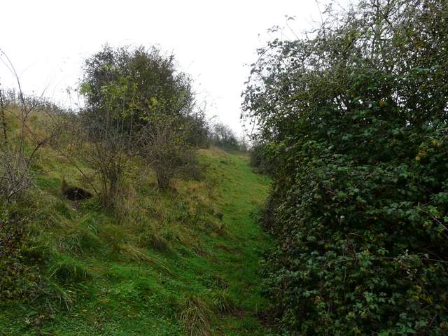
Near the top of the path

Looking back from the top of the path, over Moor Wood