Pete's Walks - Coombe Hill and the Hampdens (page 1 of 4)
If you are considering walking this route yourself, please see my disclaimer. You may also like to see these notes about the maps and GPX files.
I did this 13 mile circular walk on Saturday, 14th January 2012. It was basically a repeat of one of my very favourite walks in the Chilterns, around Coombe Hill and the Hampdens. This time I did it in the anti-clockwise direction, with a new variation at Whiteleaf Hill (which I have shown as Alternative 1 on the Google Map).
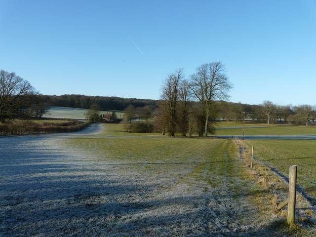
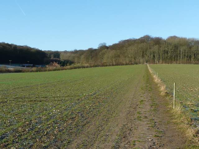
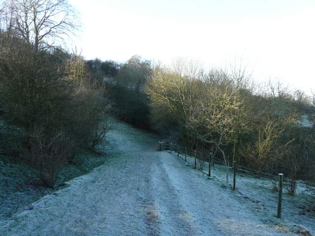
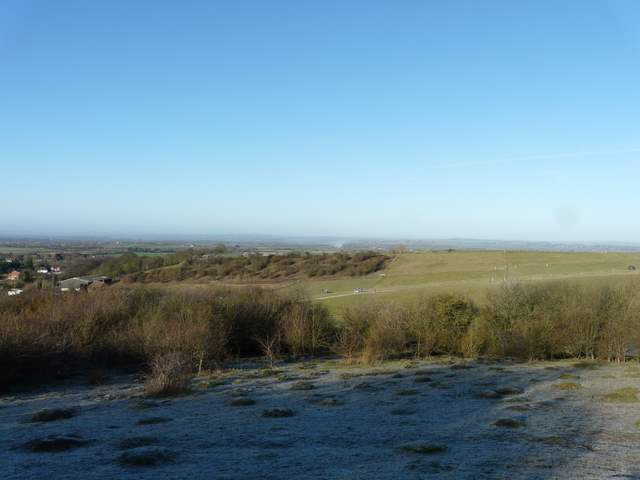
I started walking from the car park at Coombe Hill about 9.55am. It was a very frosty morning, with clear blue skies, and some of the frost would remain in shaded places throughout the day. Through the gate by the entrance to the car park, I immediately turned left through an area of scrubby bushes and rough grass. After a few hundred yards I turned left through a metal kissing gate, joining the route of the Ridgeway National Trail as it ran through a beech wood on Lodge Hill. I had to go a couple of hundred yards right along a minor road (the one to the car park) before turning left and continuing along the Ridgeway through Linton's Wood and Goodmerhill Wood. After about half a mile, the Ridgeway turned right at a path junction and descended down to a road on the edge of the grounds around Chequers (by a hamlet named Buckmoorend on the OS map)..
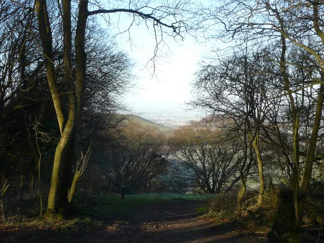
The view towards Beacon Hill and the Vale of Aylesbury from where I joined the Ridgeway National trail on Coombe Hill
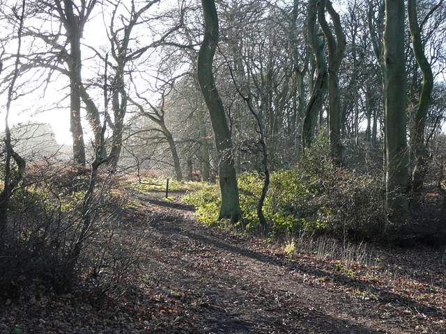
The Ridgeway, on Lodge Hill
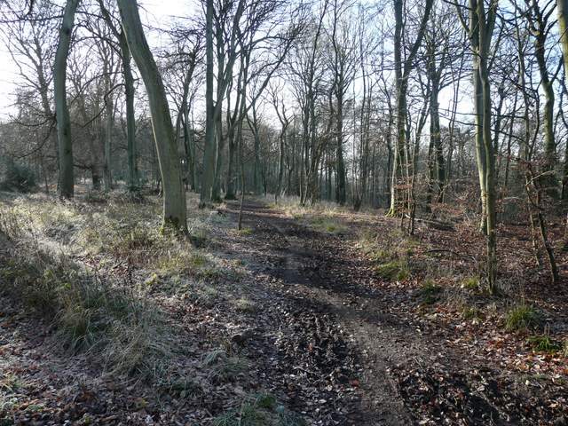
The Ridgeway in Linton's Wood
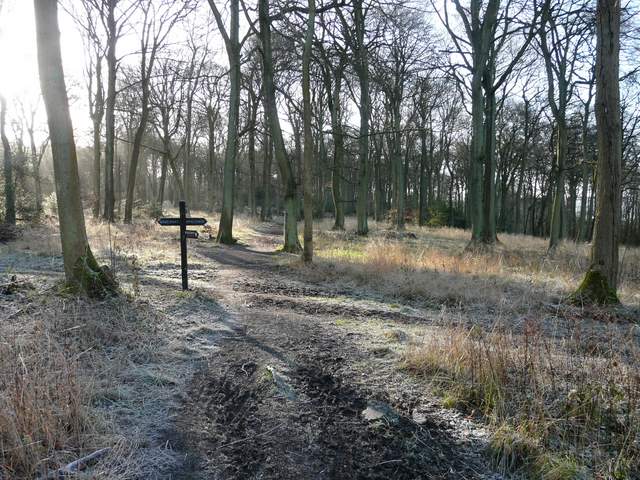
The Ridgeway in Goodmerhill Wood

The Ridgeway descending to Buckmoorend
The Ridgeway then crossed the grounds of Chequers - the grand house was over to my right, and I noticed that Mr Cameron is having some work done as it was covered in scaffolding. I crossed the drive to the house, watched by security cameras, and continued beside a fence to reach Maple Wood. Here the Ridgeway bore right, following the edge of the wood on my left. I stopped to take my usual photo of Chequers backed by Coombe Hill.
The Ridgeway crossing the Chequers estate
The Ridgeway crossing the Chequers estate
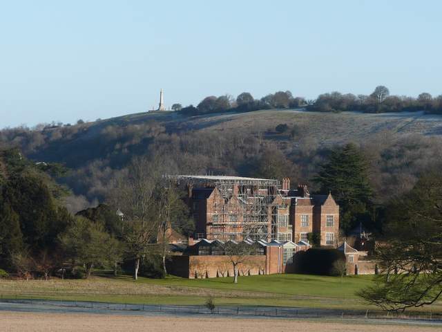
Chequers with Coombe Hill beyond
The Ridgeway beside Maple Wood
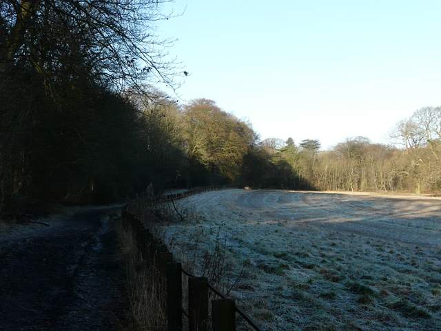
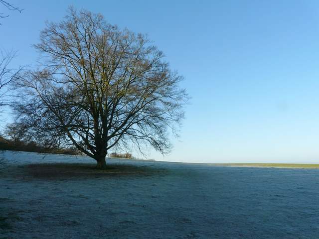
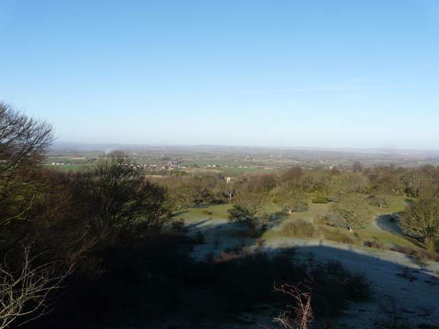
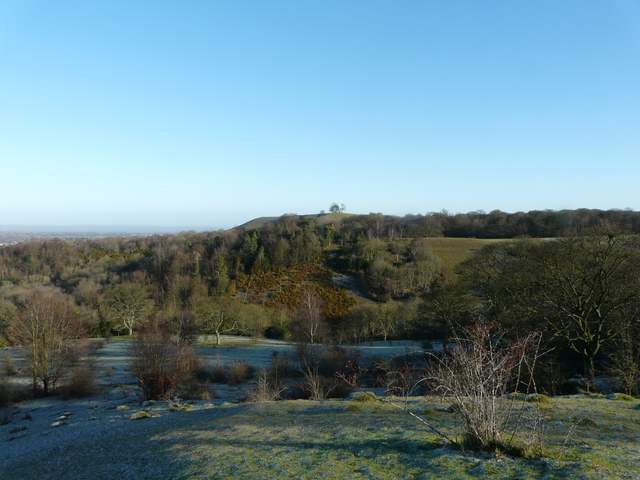
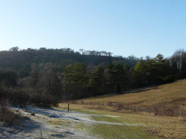
Beyond Malpe Wood the Ridgeway crossed an empty and very frosty pasture, continuing through a much larger pasture partly filled by scrub. This section is marked 'Cradle Footpath' on the OS map, but I don't know why. I went to the top of a small knoll called Chequers Knap and admired the views out to the Vale of Aylesbury, then continued along the Ridgeway path. There were more good views right towards the Vale of Aylesbury as I passed Pulpit Hill on my left, then the Ridgeway descended gradually through the Grangelands and Pulpit Hill Nature Reserve, with the wooded slopes of Whiteleaf Hill in view ahead.
Frosty scene along the Cradle Footpath
Frosty scene along the Cradle Footpath
Looking out to the Vale of Aylesbury from Chequers Knap
Looking towards Beacon Hill from Chequers Knap
Looking out to the Vale of Aylesbury from the Ridgeway, below Pulpit Hil
The Ridgeway passing through the Grangeland and Pulpit Hill Nature Reserve, looking ahead towards Whiteleaf Hill