Pete's Walks - Old Amersham and Seer Green (page 1 of 5)
If you are considering walking this route yourself, please see my disclaimer. You may also like to see these notes about the maps and GPX files.
Google map of the walkDownload GPX file of the walk
I did this 14.7 mile circular walk on Sunday, 22nd January 2012. It was largely a repeat of Walk 9 of my Chiltern Chain Walk, but lengthened by extending it westwards through Seer Green. There was a small section that was completely new to me, and most of the rest of the walk I hadn't done for three or even four years. It was only the last couple of miles, heading back to Amersham Old Town, that I'd done more recently, but that is such a pleasant section that I was very happy to walk it again.
I started in Old Amersham (Amersham Old Town on the OS map) rather than Chalfont St Giles, purely as it was slightly nearer to my home and thus saved me a little on petrol money. I started walking from the large car park (just west of Tesco, grid reference SU 960974), taking a path from the corner of the car park for a few yards beside the river Misbourne, then crossing a wooden bridge and turning back right along the opposite bank. There was soon a large ploughed field sloping up a hillside on my left, with the Misbourne hidden from view by a hedge on my right. At the end of this path, I crossed a road and followed it a few yards right to a roundabout where I turned left. After a hundred yards or so, a footpath started on the right just beyond a car salesroom. This initially ran along the edge of a meadow, but after a hundred yards or so it went through a gap in the high hedge on my right and returned to the bank of the small river Misbourne. I spotted my first Redwings of the winter here, just before the path and river passed under a bridge under the A413 main road. The path then continued close to the river on my right, with a large green field on my left. On reaching a path junction, I turned right over a small bridge across the Misbourne and then crossed a field of stubble.
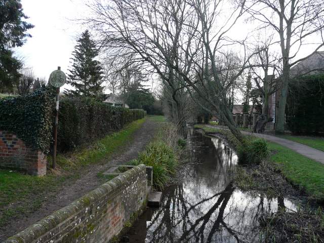
The river Misbourne, Old Amersham (the car park is behind the building on the right)
The path from the cemetery, close to the Misbourne
The path by the Misbourne, just before the bridge under the A413
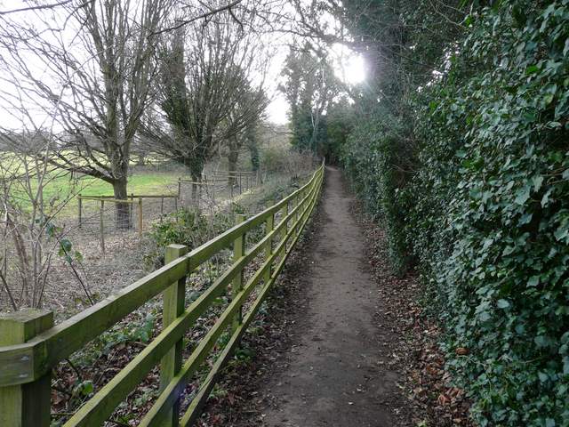
The path beside the Misbourne, going east
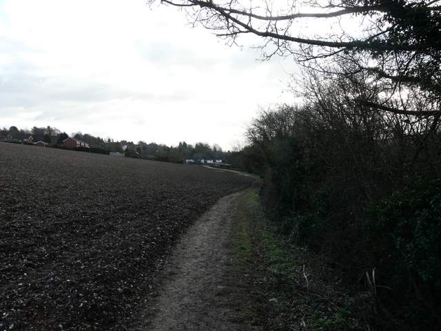
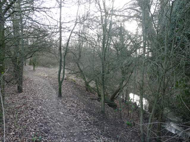
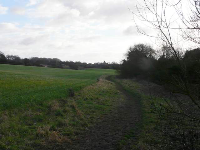
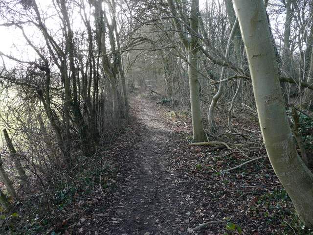
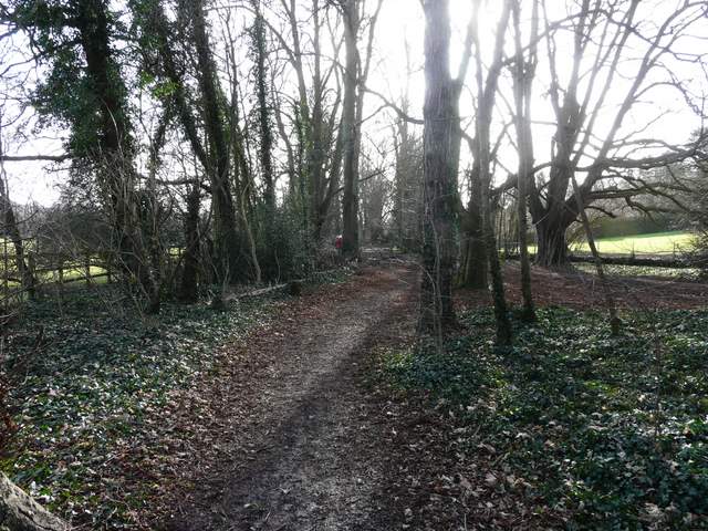
On the far side of this stubble field I turned left, joining the long footpath that runs along the Misbourne valley between Old Amersham and Chalfont St Giles (it's part of the South Bucks Way, and is indicated as such on the OS maps). This initially ran between stubble fields, which had obviously been recently spread with muck, judging by the smell. The path was very gradually curving between ESE and SSE, and I was looking more or less straight into the sun so it made taking photos a bit difficult (why do I always seem to start my walks walking into the sun?). The path was very clear and easy to follow. Further on it passed through green fields and then crossed a lane (Bottom House Farm Lane, which I'd come across again a couple of times towards the end of the walk). After two more fields, the path entered a narrow belt of trees, which it followed for about half a mile to a bend in a lane by Chalfont Mill. At the next bend, just a few yards down the lane, the path continued on along the valley bottom. It soon entered another narrow belt of trees, and then joined a private drive that took me into the centre of Chalfont St Giles.
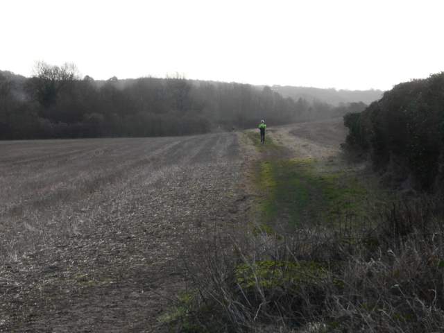
The footpath along the Misbourne Valley, going southeast
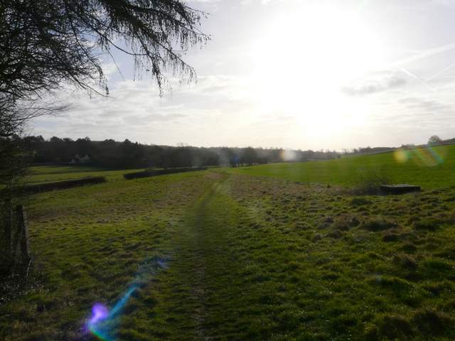
The footpath along the Misbourne Valley, going southeast - sorry about the grotty photo quality, I was looking straight into the sun
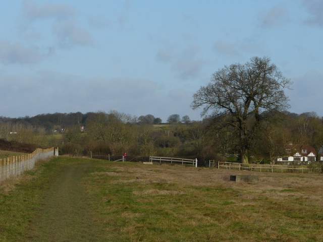
Looking back along the path through the Misbourne valley, from just after crossing Bottom House Farm Lane
The path through the Misbourne Valley (near Misbourne Farm, according to the OS map)
The footpath along the Misbourne Valley, shortly before the lane by Chalfont Mill
I turned right, passing the village Reading Room on my right and then further on Milton's Cottage on my left (once home of John Milton, who wrote Paradise Lost). After maybe another hundred yards I turned left, following a surfaced path uphill. At the top of the slope I went a few yards right then turned left, continuing on with playing fields on my right (a boys game of soccer was in progress). The path next followed a mature hedge on my left up and down a small grassy dip and then crossed a track (the route of a bridleway).
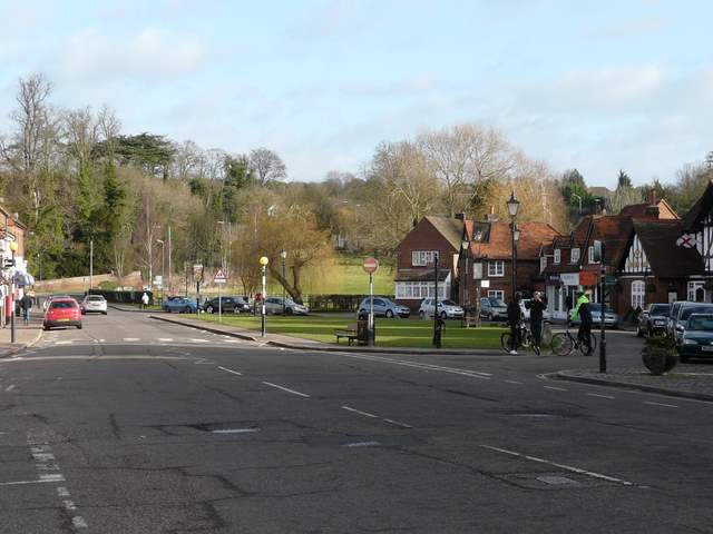
The centre of Chalfont St Giles
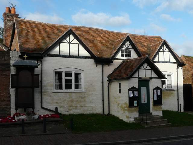
Reading Room, Chalfont St Giles
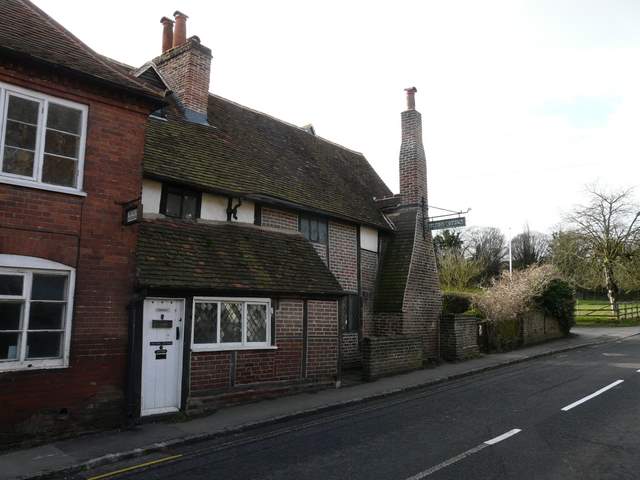
Milton's Cottage, Chalfont St Giles
Start of the path from near Milton's Cottage
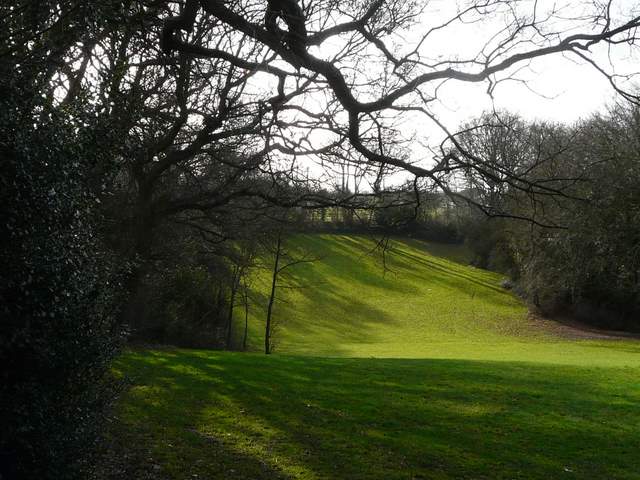
The path continuing beyond the playing fields