Pete's Walks - Hudnall and Potten End (page 2 of 2)
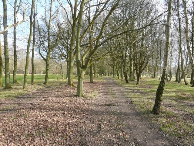
I was now on a bridleway that soon entered part of Berkhamstead Golf Course (I don't know why it's spelled that way when the town is spelled Berkhamsted without the second 'a'). I passed a couple of tees and then there were fairways close by through the trees on other side. The bridleway then crossed a fairway to reach a road, and on the other side I continued with another fairway on my left.
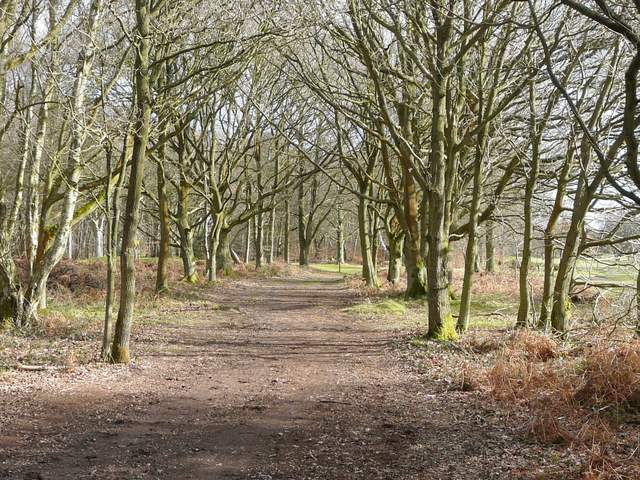
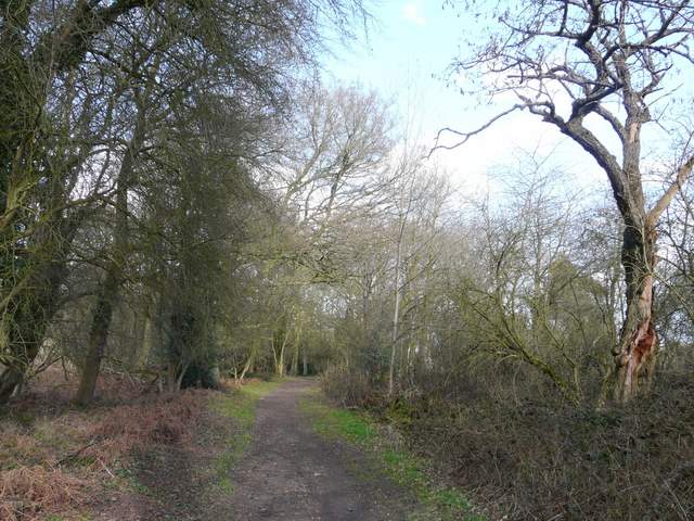
The bridleway through Berkhamstead Golf Club
The bridleway through Berkhamstead Golf Club
The bridleway through Berkhamstead Golf Club
The bridleway through Berkhamstead Golf Club (just after crossing the road)
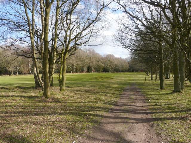
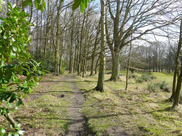
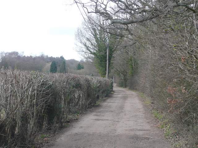
I crossed the far end of the fairway just in front of the tee, and a few yards further on turned left. The new path soon ran between garden fences to reach a residential street (I'm not sure if this is part of Potten End or Frithsden). A path continued on the other side, soon running through a narrow belt of trees and then on through Little Frithsden Copse. It emerged in Frithsden opposite a pub, and I continued up the roughly surfaced lane opposite, Roman Road (at least that's what its called when it reaches Nettleden).
The path between Potten End and Frithsden
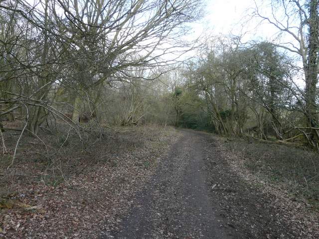
The path between Potten End and Frithsden
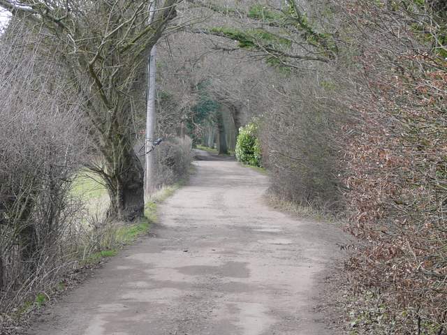
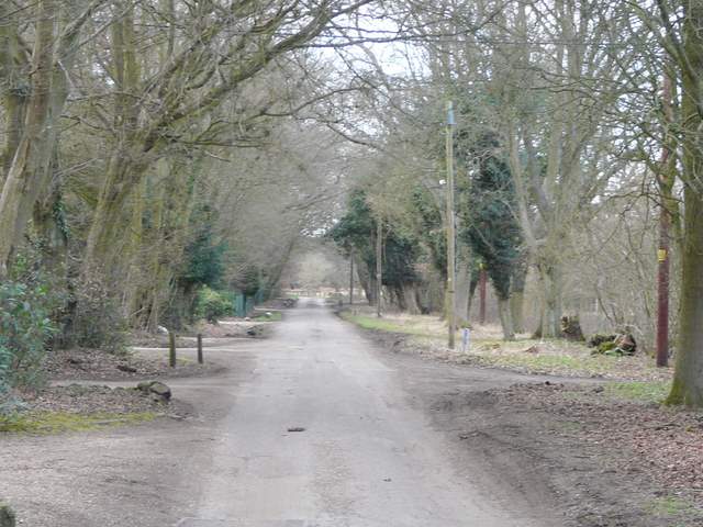
The lane led uphill, where there were then good views either side when gates interrupted the hedgerows. The lane then dropped downhill, now with huge stone embankments either side. It passed under Devil's bridge (which once carried a drive to Ashridge House) and ended in the village of Nettleden.
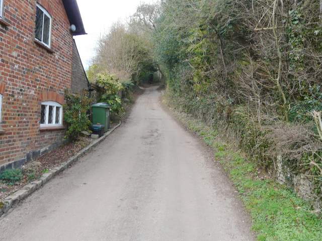
Roman Road going north out of Frithsden
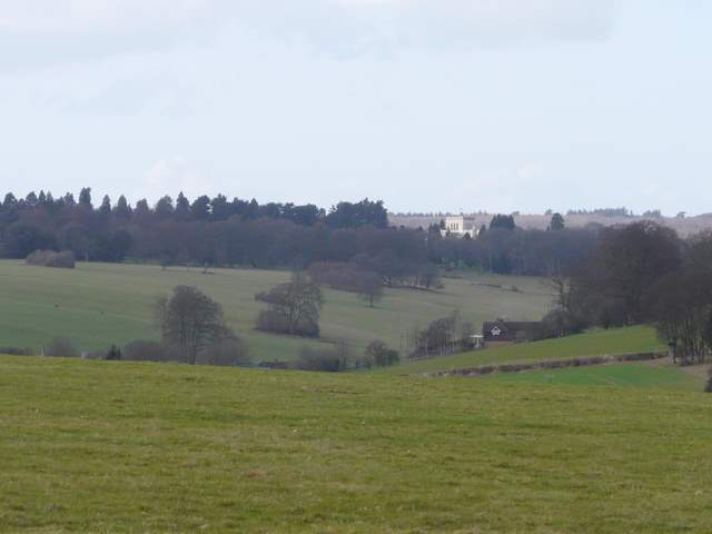
Close-up shot looking west, back along the Golden Valley towards Ashridge House
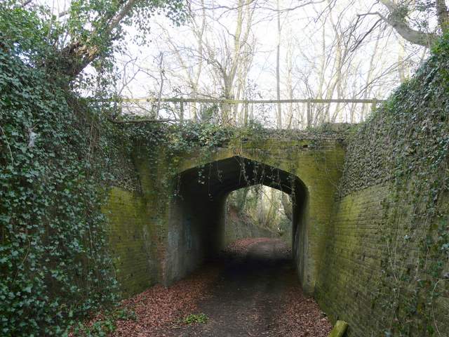
Devil's Bridge along Roman Road
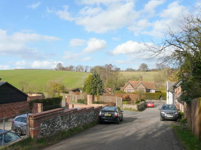
Roman Road in Nettleden
I turned left, almost immediately leaving the village. I ignored the first path on the right (which goes up to the Buddhist monastery at Ashridge - I saw two monks from there, in there orange and brown robes, today), and took the second path on the right. This angled away from the road through an immense field of newly sown grass towards a solitary tree, then curved half right to follow the bottom of a small valley. After half a mile or so, I passed a small reservoir surrounded by trees on my right (the map shows the path on the other side).
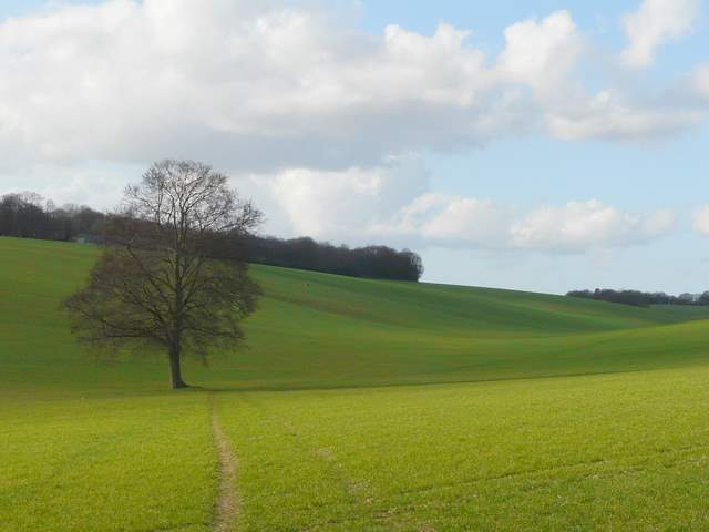
The path from Nettleden
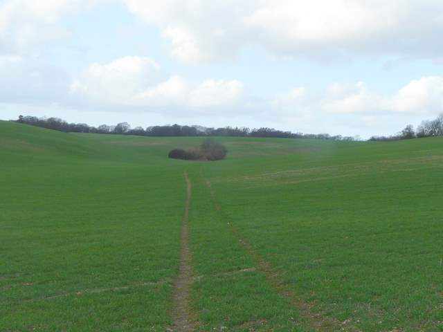
The path from Nettleden (the reservoir is in the trees in the valley bottom ahead)
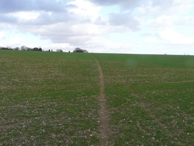
A little further on I had a little difficulty deciding where I needed to turn right onto another bit of the Hertfordshire Way - there was no sign (there was once a small stone cairn here), and I just took one of several pairs of tractor tracks. As I climbed slightly uphill, I could see the path continuing ahead from a small copse on my right (it was far closer to this copse than shown on the map). The path continued across the field to reach St Margaret's Lane close to a cottage with the intriguing name Covetous Corner. I turned left, and followed the lane for about half a mile to return to my parked car at Hudnall Common.
The Hertfordshire Way heading to St Margaret's Lane at Covetous Corner
The lane from St Margaret's to Hudnall
The lane from St Margaret's to Hudnall
The lane from St Margaret's to Hudnall
Once again this was a very pleasant 2-hour walk for a Saturday afternoon. I enjoyed it and am sure I'll do it again another time when I can only manage a short local walk.