Pete's Walks - Watlington Hill, Maidensgrove and Southend (page 3 of 5)
At the end of the private drive, a path continued a few yards into a wood. I then turned left for a short distance along a bridleway (now briefly on the route of the Oxfordshire Way) before turning right onto a path that continued through Pishillbury Wood (the OS map appears to show these last two junctions as a single crossroads). This path was initially flat then descended gently through the trees - a recently fallen tree necessitated a brief diversion at one point. Beyond the wood the path continued through a line of small trees to reach a road, where I turned right to enter the village of Stonor.
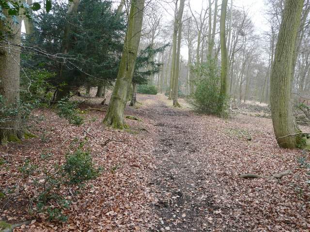
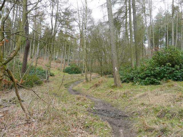
The Oxfordshire Way in Pishillbury Wood
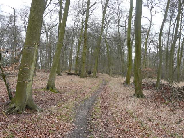
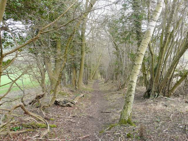
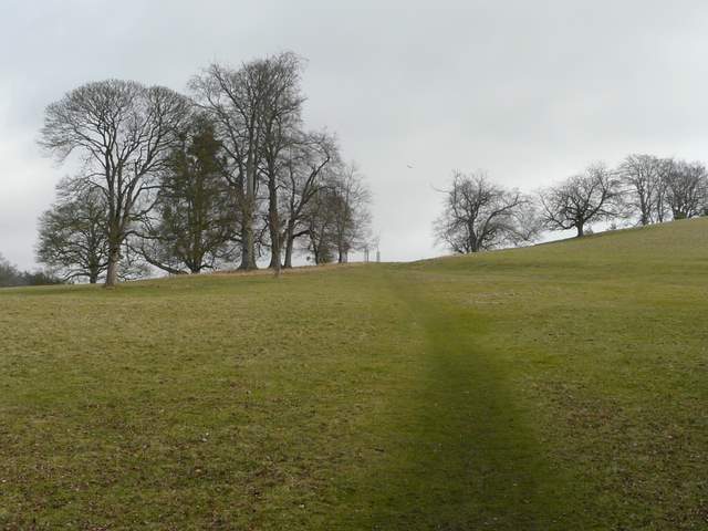
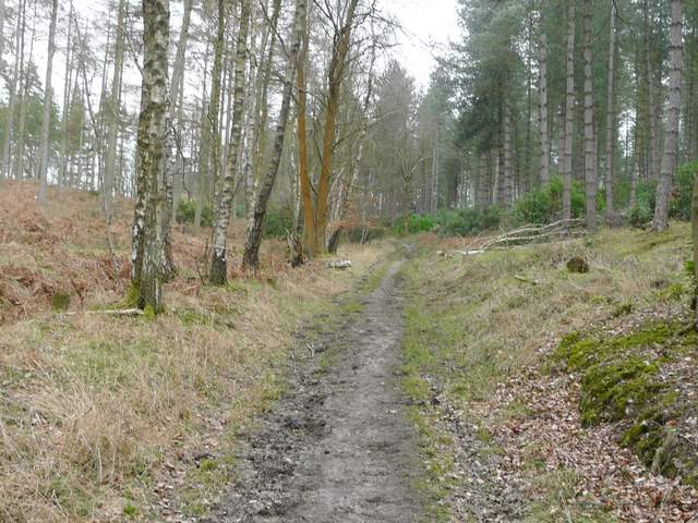
The path through Pishillbury Wood
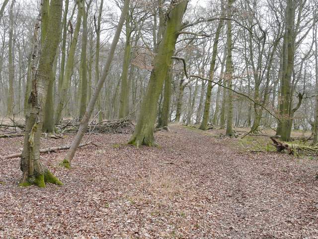
The path through Pishillbury Wood
The path through Pishillbury Wood
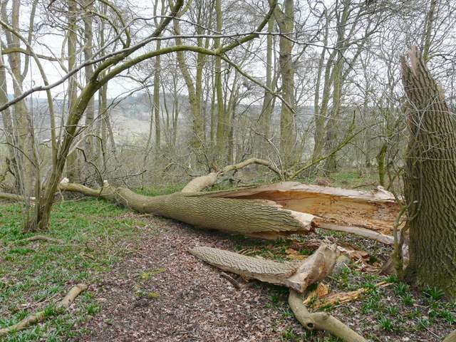
Fallen tree blocking the path through Pishillbury Wood
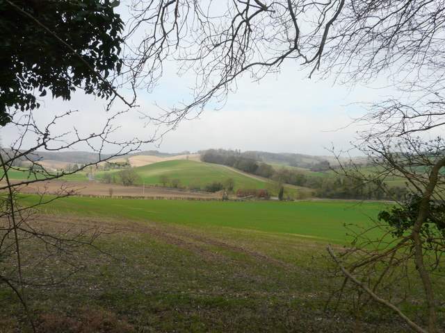
Looking west towards Pishill
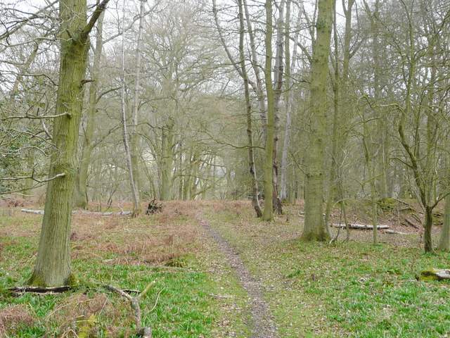
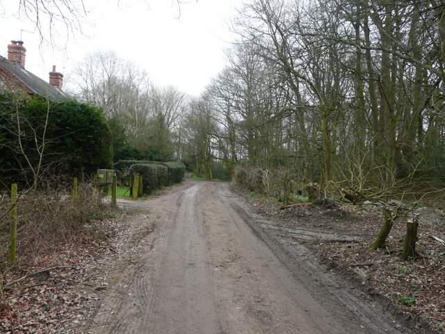
The path continuing from Pishillbury Wood towards Stonor
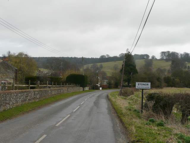
The road entering Stonor (you've probably worked that one out yourself!)
I followed the road towards the village, passing the entrance to Stonor Park on my left, and then turned left onto the long footpath through this attractive deer park around the ancient Stonor House. This next section was gradually uphill - the views ahead over the deer park and the woods to which I was now headed were good, but I had to stop and admire the views back towards Pishill a couple of times (this section is definitely better the other way round).
Start of the path through Stonor Park, the deer park around Stonor House
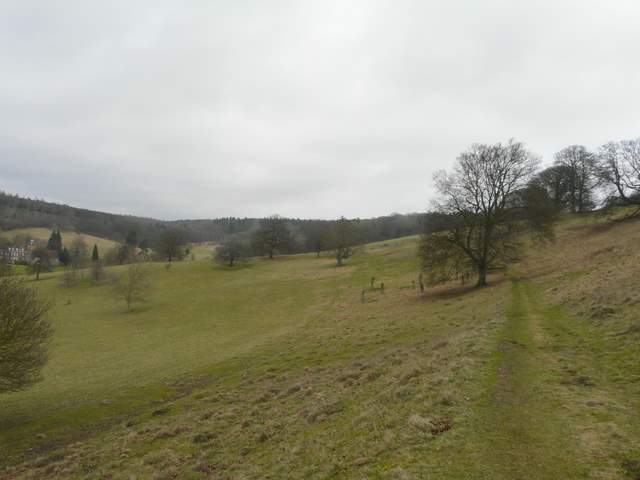
The path through the deer park
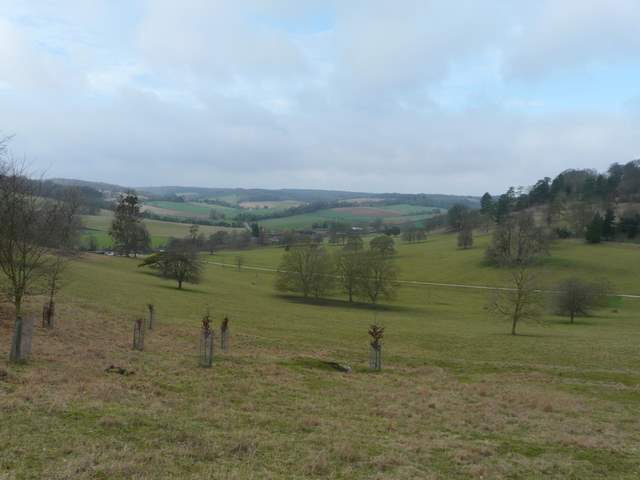
Looking back towards Pishill from the deer park
The path through the deer park
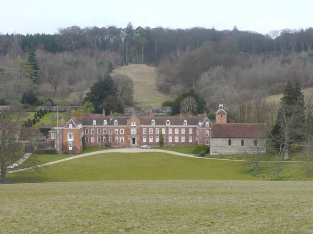
Stonor House
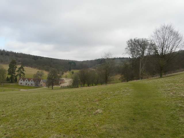
Beyond the deer park, the path continued uphill through woods (the map shows Balham's Wood to the left, Kildridge Wood to the right). There were some forestry operations in progress near the top of the slope, so the path here was very muddy. The path ended by a cottage on a road in Southend (named from its position within the parish of Turville, there is a Northend at the other end of the parish).
The path continuing through Kildridge Wood
The path continuing towards Southend
Approaching the lane in Southend