Pete's Walks - Watlington Hill and Russell's Water (page 1 of 5)
If you are considering walking this route yourself, please see my disclaimer. You may also like to see these notes about the maps and GPX files.
Google map of the walkDownload GPX file of the walk
UPDATE 30/10/2023: You now have to pay (£3 a day, I believe) at Watlington Hill car park, unless you are a National Trust member.
I did this 15.3 mile circular walk on Saturday, 14th April 2012. It was a repeat of a walk I did almost exactly a year ago (I was surprised it was as long ago as that) but in the opposite direction. That route was largely the same as a walk I did at the end of March 2010 (almost exactly two years ago) - see Watlington Hill, Swyncombe, Russell's Water.
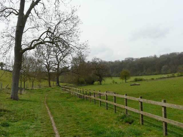
I started walking about 10.05am, turning right out of the car park on Watlington Hill (one of my favourite places for starting a walk - grid reference SU 709936) and following the minor road for a straight quarter of a mile to a T-junction. Here I turned right, soon passing a sign welcoming me to Christmas Common (I spotted my first Red Kite of the walk here) and then almost immediately forked left at another road junction. After another hundred yards I forked right into Hollandridge Lane.
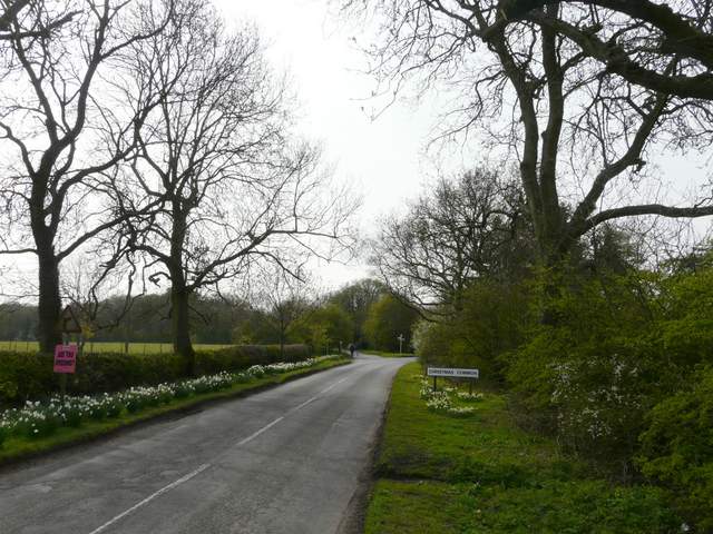
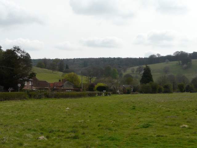
Entering Christmas Common
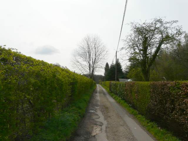
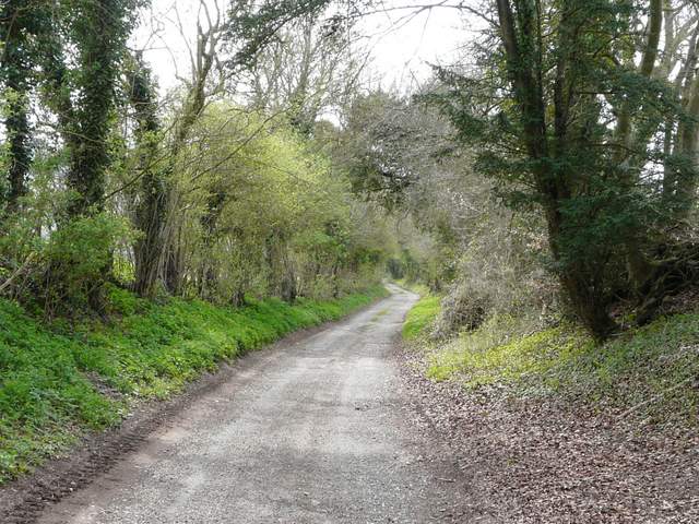
Hollandridge Lane, running through Christmas Common
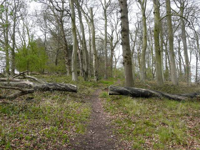
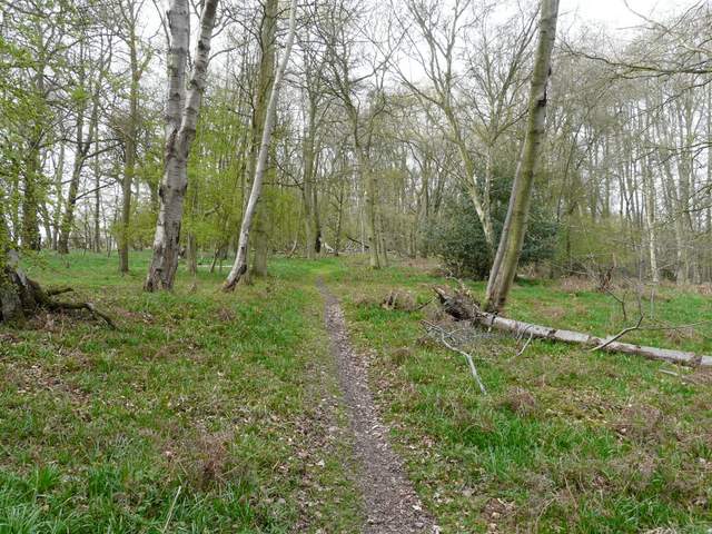
As the lane left the village I turned left onto a bridleway (I'd already gone straight on where a footpath had crossed the lane)that descended gently through a wood called Prior's Grove. At the bottom of the slope I stayed on the bridleway as it turned right by a path junction, and followed it along the valley bottom, soon entering Fire Wood. This next section is always a pleasant start to a walk, as the bridleway follows the wooded valley bottom for a couple of miles at an almost imperceptible downhill gradient. There were Wood Anemones and Wood Sorrel at various points, and Bluebells almost everywhere (though not yet at their best).
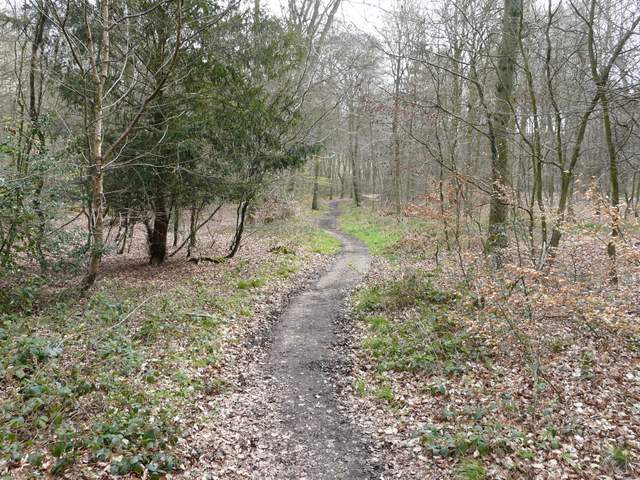
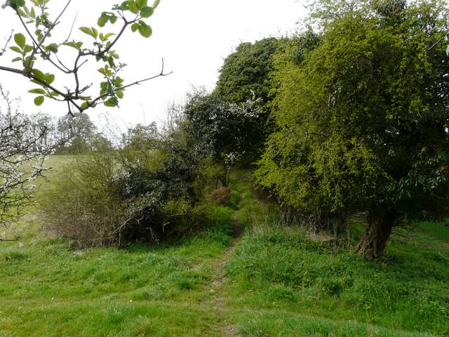
Near the start of the bridleway from Christmas Common, dropping down through Prior's Grove
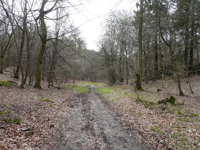
The bridleway following the valley bottom through Fire Wood
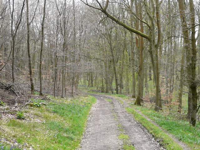
The bridleway following the valley bottom through Fire Wood
The bridleway following the valley bottom through Fire Wood
The bridleway following the valley bottom through Fire Wood
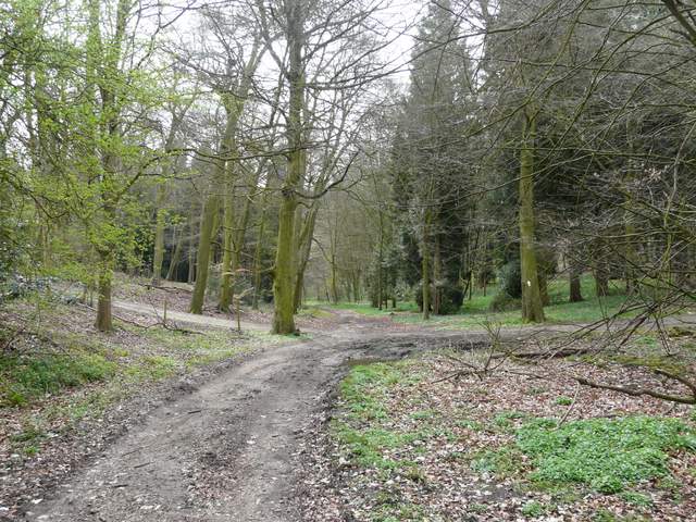
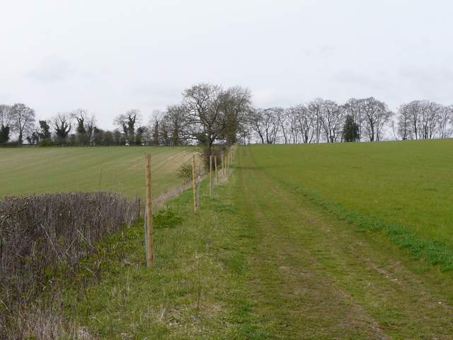
The bridleway continued on beyond Fire Wood, soon curving right and passing Turville Park Farm. Beyond the farm it carried on between fences and then followed a left-hand hedge for a few hundred yards before switching to the left of the hedge. At a path crossroads I turned right (I usually turn left here for Turville Heath) and followed a fence uphill (I saw several Cowslips here) to return to Hollandridge Lane. I turned left and followed the hedge-lined lane downhill to reach a minor road.
The bridleway approaching Turville Park Farm
The bridleway just south of Turville Park Farm
The path from the bridleway going uphill to rejoin Hollandridge Lane
Hollandridge Lane
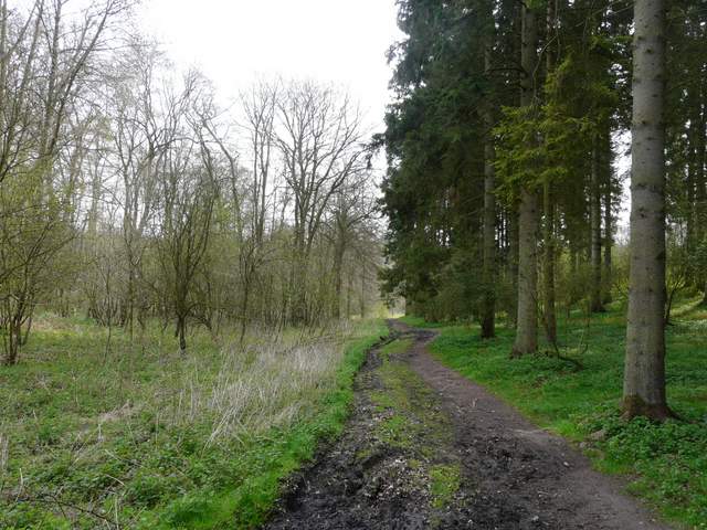
I turned left for a short distance along the road, then turned right onto a footpath (shortly before the road entered Stonor). The path rose gently uphill between hedges, continuing uphill through the beeches of Pishillbury Wood.
Near the start of the path to Maidensgrove, going southwest from the road near Stonor
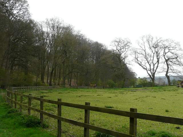
From about the same point, looking left over Stonor to the deer park around Stonor House
The path continuing through Pishillbury Wood
The path continuing through Pishillbury Wood