Pete's Walks - Watlington Hill and Russell's Water (page 3 of 5)
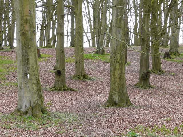
I stayed on the bridleway where another one went left. The bridleway I was on would continue to a track and path junction in Upper Bix Bottom and then on to the Warburg Nature Reserve, but I wasn't going that far today. On meeting the Chiltern Way route again (where another path came down steeply on the left), I followed it right into a small wood, but then immediately left it again, by forking left and heading slightly uphill through the beech trees. Beyond the wood the path was a barely visible line through a large green field, soon sloping down and passing through a paddock to reach a track close to Westwood Manor Farm.
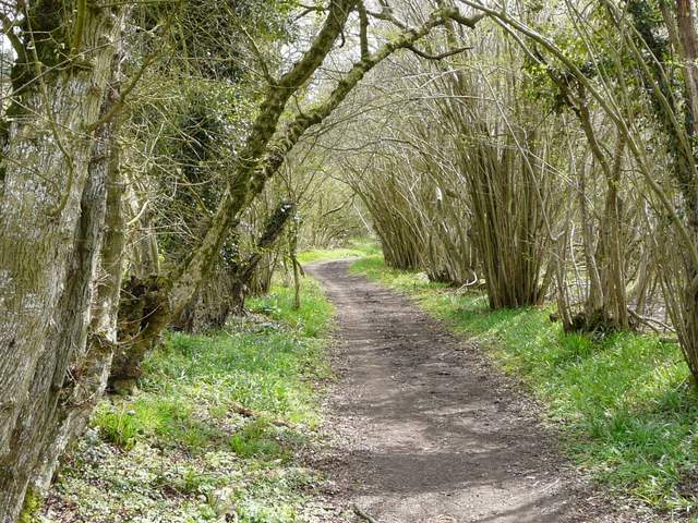
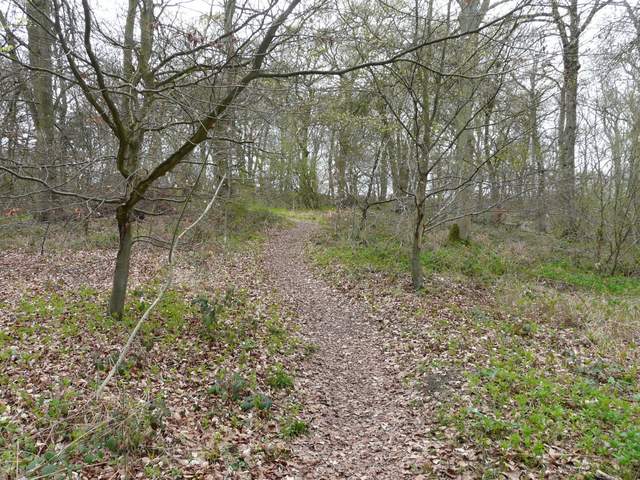
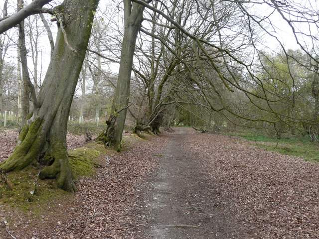
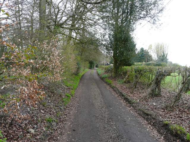
The bridleway along the valley bottom, heading to the path junction at Upper Bix Bottom
The start of the path going south to near Westwood Manor Farm
The path going south to near Westwood Manor Farm
Across the track a path cut across a small section of a large pasture, then entered another wood. I soon saw some Primroses here. The path ran fairly easily uphill through the wood, and then continued across another large grass meadow. A gate in the corner of this meadow led into a garden, the path continuing along the edge of the garden and then joining a track to emerge in the settlement of Magpies (when I came here before I thought the name Magpies on the OS map referred to a large house here, but judging by the large typeface used it must be the name of the small village or hamlet here).
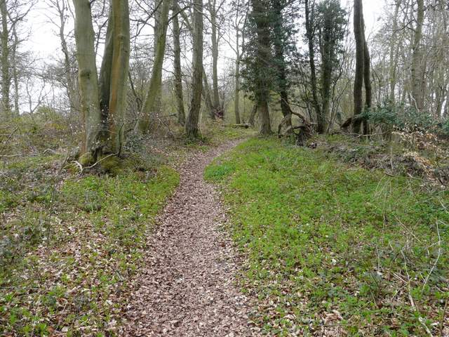
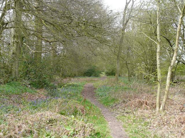
The path continuing southwest close to Berrick's Trench (whatever that may be!)
The path continuing southwest close to Berrick's Trench
The footpath going south towards Magpies
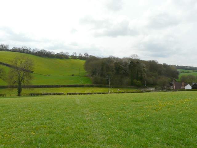
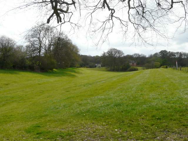
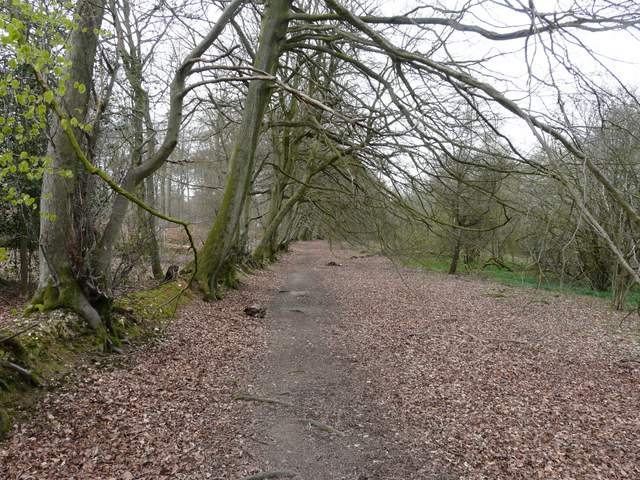
Looking back towards Upper Bix Bottom
I turned right and followed another woodland path until I reached a drive (coming from Westwood Manor Farm, down on my right somewhere). I had to go left for a few yards along the drive, before picking up a path on the far side. This followed a line of beech trees that were on a small embankment, presumably an old boundary of the wood. It was now about 1pm and I stopped along here for my lunch.
The path going west from Magpies
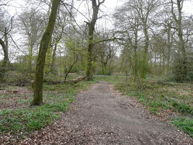
The path continuing towards Park Corner
The path continuing towards Park Corner
On the far side of the wood I reached a road (the one from Watlington to Nettlebed), where I turned right for a short distance to reach the edge of Park Corner. Here I took a short lane going off to the left. At its end I continued straight on along another lane for a few yards, then when that lane turned left I again went straight on along a track called Digberry Lane. After passing a few properties, this became a pleasant woodland walk with a few patches of Bluebells about (they were in almost every wood today, but as I mentioned earlier were not yet at their magnificent best). On reaching a junction, I turned left (yet gain briefly joining a section of the Chiltern Way), and followed it as it progressed through a broad belt of mainly beech trees.
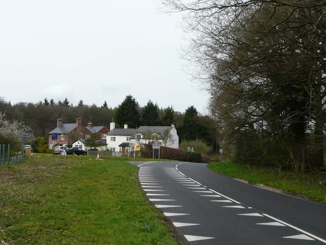
The road entering Park Corner from the south (I took the lane going left just before the cottages)
The short lane on the southern edge of Park Corner
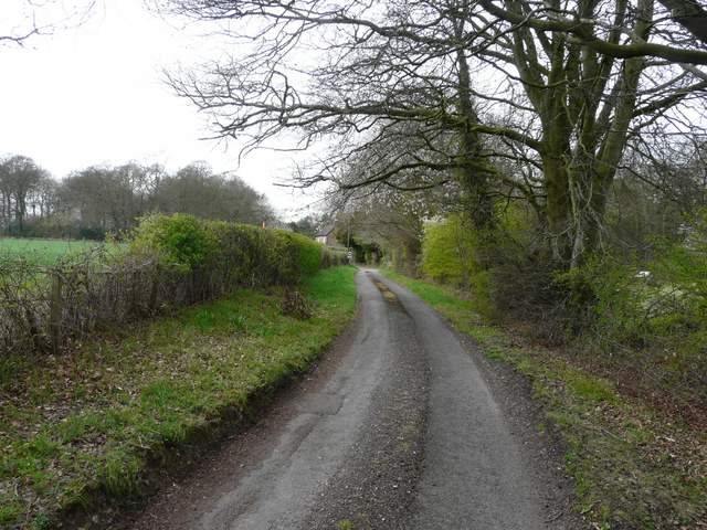
Digberry Lane
Digberry Lane
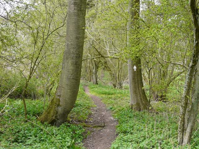
The bridleway going west from Park Corner (part of the Chiltern Way route)