Pete's Walks - Goring and Mapledurham (page 2 of 4)
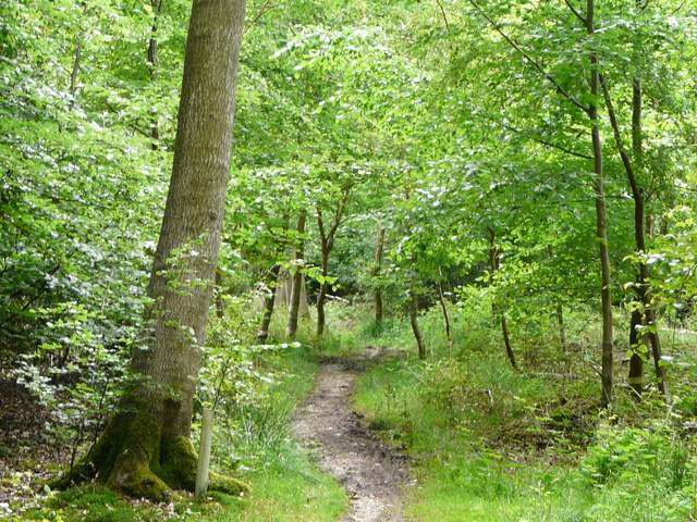
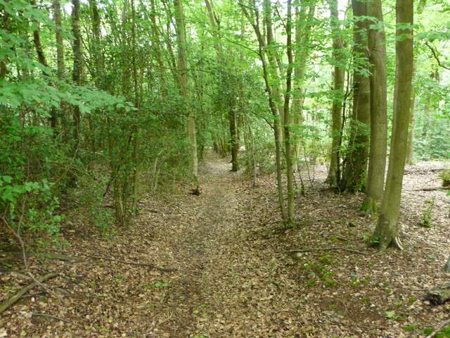
As the bridleway entered Bensgove Wood it joined a broad track in a shallow valley, but after a hundred yards or so it turned left into the trees. After rising gently for a short distance the bridleway turned right, and continued through the wood to reach a road called Deadman's Lane. Across this I carried on through Hawhill Wood and then Holme Copse, soon with a field close by on my left. After maybe three quarters of a mile since the road crossing, I reached the hamlet of Nuney Green.
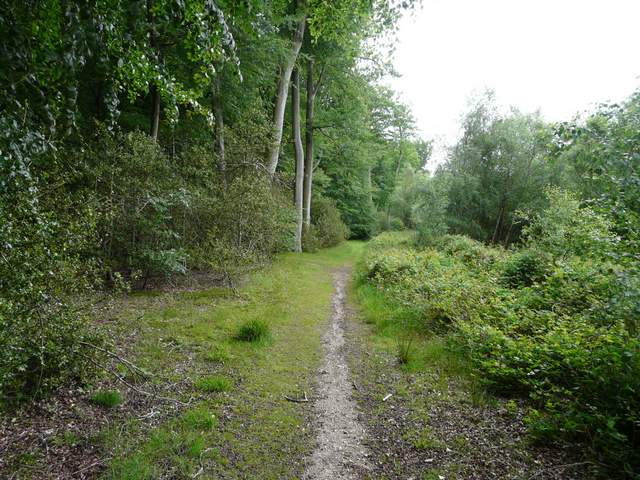
The bridleway in Bensgrove Wood
The bridleway in Bensgrove Wood
Hawhill Wood
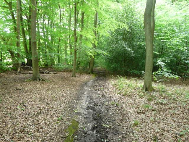
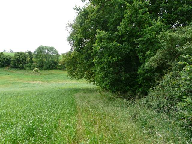
I passed through the hamlet and turned right on a footpath after the last house on the right. This headed south and soon entered Nuney Wood. Beyond this the path followed the right edge of a corn field to reach a minor road. Across this I followed a drive or track past Whittles Farm. Near a slight bend left, I went through a new gate on the right (it used to be a stile) and followed the left edge of a large pasture or meadow. This was a very enjoyable section of the walk, with the path dropping steeply downhill with views towards Mapledurham and the Thames Valley ahead, and a few Red Kites flying nearby.
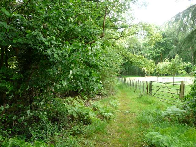
Start of the path from Nuney Green to Nuney Wood
The path in Nuney Wood
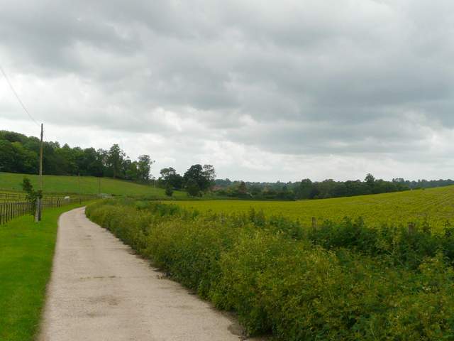
The path south from Nuney Wood
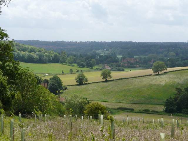
Looking south to Mapledurham in the Thames Valley, from just past Whittles Farm
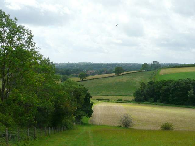
The path south from Whittles Farm (the dot in the sky is a Red Kite)
At the bottom of the slope I turned left, following a track or drive past Bottom Farm (a very common name in the Chilterns, and the second one I'd passed today) and following it on past paddocks on my left to reach a lane. I followed this right, all the way to the picture postcard village of Mapledurham (I spotted my first Dark Mullein of the year along this lane). I wandered along the lane through the village, until it terminated by Mapledurham House, the water mill and the church.
The whole village of Mapledurham still belongs to the Mapledurham estate, which has not allowed any new development for over a hundred years, which is one reason why the village retains its old-world charm. The idyllic and isolated riverside setting also adds to its attractions. Mapledurham House has been the home of the Blount family and their descendants since 1490. Part of the house is fifteenth-century, but most of it is built of red-brick dating from 1585-1588, with nineteenth-century alterations. The house was visited by Elizabeth I, and is mentioned in John Galsworthy’s “Forsyte Saga” (it is Soames Forsyte’s home). St Margaret’s church dates back to the late 13th century, and contains a private Roman Catholic chapel belonging to the Blounts. The watermill here is the oldest one on the river Thames, and the only one to still be working (my parents’ neighbour Tony was brought up in the village, and remembers taking corn to the mill to be ground into flour). There was a mill here at the time of the Domesday Book, but most of the current mill dates from the fifteenth century, with additions in the 1670’s and around 1700. The mill features in the 1976 film “The eagle has landed” and on the cover of a Black Sabbath album. The village also has almshouses (now converted into two cottages) that date from 1613.
The track from Bottom Farm (second one today, this is a very common farm name in the Chilterns)
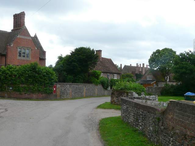
Entering Mapledurham
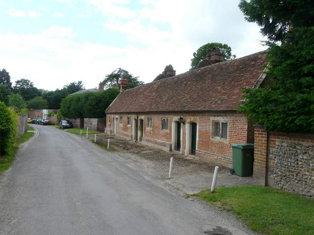
Almshouses, Mapledurham
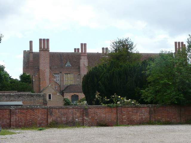
Mapledurham House
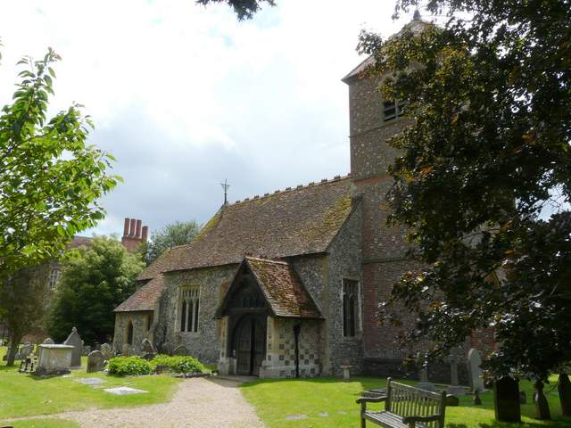
Mapledurham church

The watermill, Mapledurham
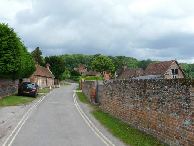
Heading back out of Mapledurham (Almshouses on the left)