Pete's Walks - Kensworth and Totternhoe (page 2 of 3)
I passed an old railway bridge on my right - I'd have reached Sewell if I'd gone through it. There were now paddocks and meadows to my left, with the white cliffs of old chalk quarries further left. Soon the path was running between hedges again - I'd been worried that stretch between Sewell and Totternhoe would be impassably muddy but it wasn't bad at all. After some distance I reached a T-junction where I turned right (behind a hedge - there was another track in front of the hedge). This was a bit muddier, but no problem at all. I then turned left onto the end of a surfaced road to reach the entrance to the lime works here at Totternhoe. Immediately beyond the entrance a path went left between a fence and a hedge.
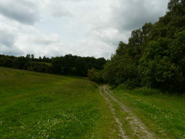
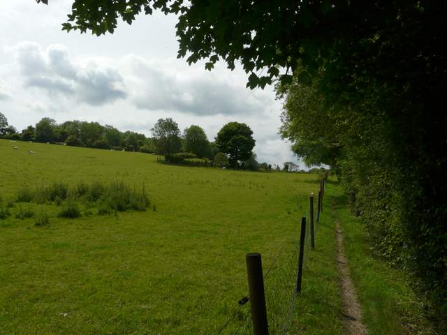
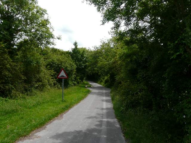
The path from Sewell to Totternhoe
The path from Sewell to Totternhoe
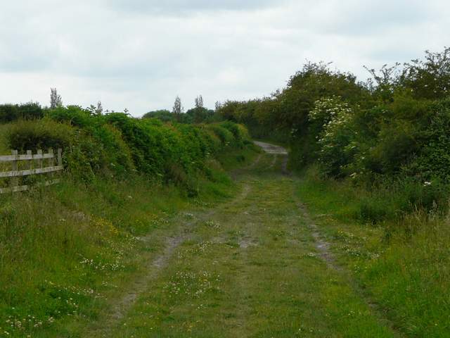
The path from Sewell to Totternhoe, approaching the lime works
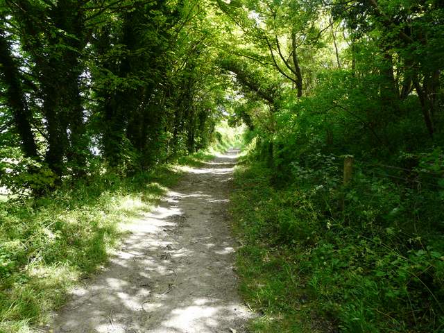
Path beside the lime works
The path turned right, left and right again, following the edge of a sheep pasture beyond the fence on my left. At the end of the path I turned left on a chalky track heading steadily uphill. Near a bend in the track I went through a metal kissing-gate on the right to enter part of the Totternhoe Knolls nature reserve, with the remains of the Norman Motte and Bailey castle up to my left. I spent a short while exploring the reserve - I didn't see many flowers that I'd not already spotted today, but I did see my first Ringlet butterflies of the year. After a while I took a short steepish path uphill to another metal kissing-gate, from where it was a short climb left to the top of the Motte.
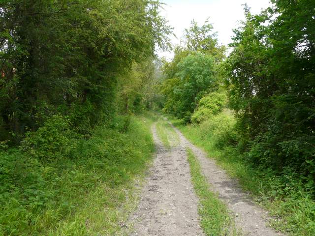
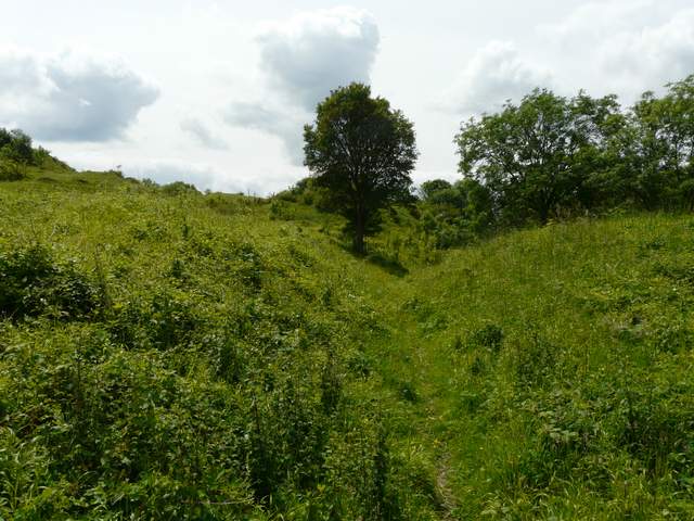
The path from the lime works to Totternhoe Knolls
The path to Totternhoe Knolls
The nature reserve at Totternhoe Knolls
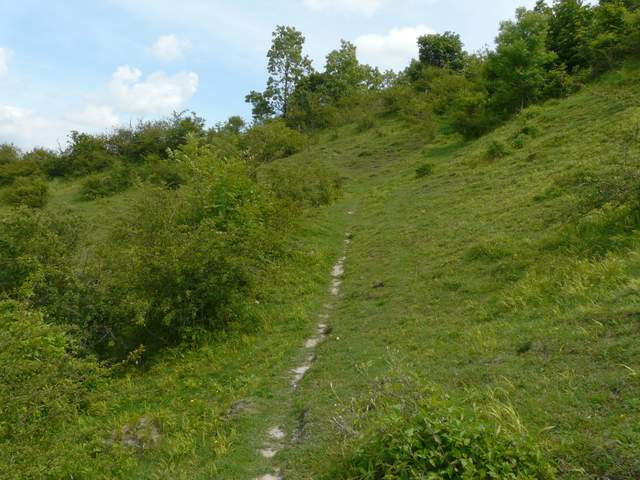
The path going uphill through the reserve - the castle 'motte' is up to the right of this photo
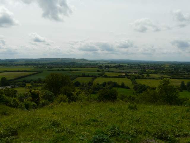
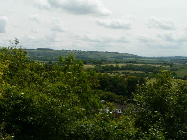
View from the top of the castle 'motte' at Totternhoe Knolls
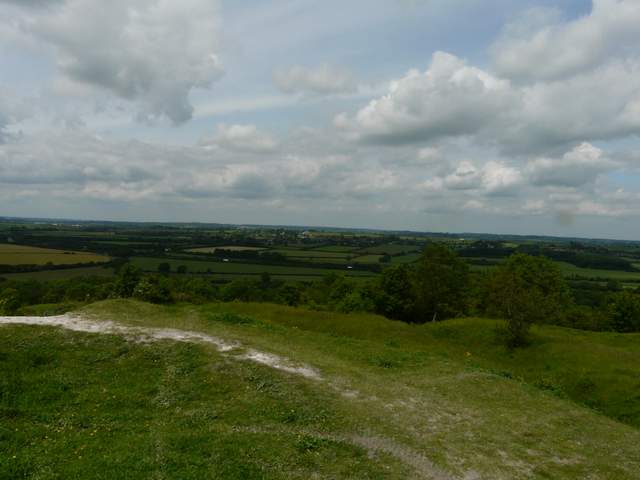
Another view over the Vale of Aylesbury from the castle 'motte'
After taking a few photos, I continued on through what was obviously once the 'bailey' of the castle, continuing across a meadow (perhaps once an outer bailey) and then along a surfaced track. After a brief stop for lunch on a convenient bench, I forked right between a fence and a small area of trees or bushes on my left, to reach the drive to the car park for Totternhoe Knolls reserves. I continued down the drive, to reach the road through the village of Totternhoe. Turning left, I followed the road until a junction at a sharp left bend, where I turned right. I then took the second road on the left, Wellhead Road, which soon took me back out of the village and headed straight for Dunstable Downs.
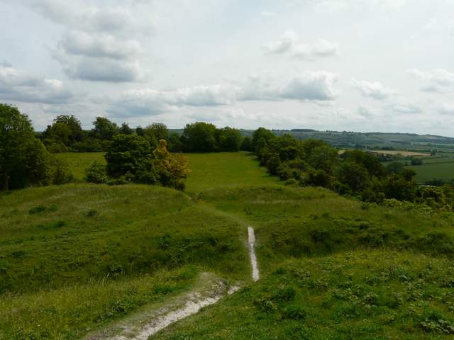
View from the 'motte' looking over the 'bailey'
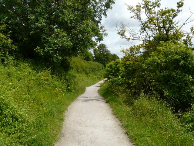
The path from the castle site to Totternhoe
View towards Whipsnade Downs from the path to Totternhoe
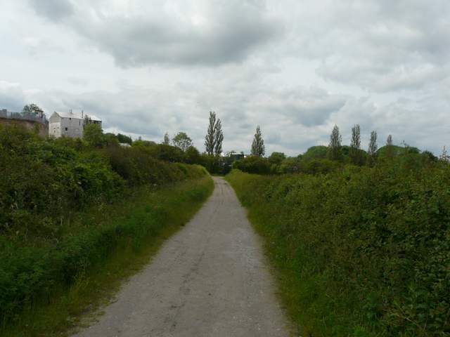
The drive from the car park for Totternhoe Knolls to Totternhoe
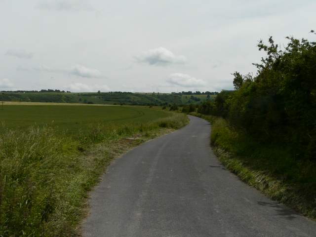
Wellhead Road, heading from Totternhoe towards Dunstable Downs